The Town of Mountain View is a home rule municipality located in Jefferson County, Colorado, United States. Mountain View is situated west of, and adjacent to, the city and county of Denver. As of the 2020 census, the population of Mountain View was 541. The Denver Post Office (ZIP Code 80212) serves Mountain View.
| Name: | Mountain View town |
|---|---|
| LSAD Code: | 43 |
| LSAD Description: | town (suffix) |
| State: | Colorado |
| County: | Jefferson County |
| Incorporated: | October 11, 1904 |
| Elevation: | 5,384 ft (1,641 m) |
| Total Area: | 0.09 sq mi (0.24 km²) |
| Land Area: | 0.09 sq mi (0.24 km²) |
| Water Area: | 0.00 sq mi (0.00 km²) |
| Total Population: | 541 |
| Population Density: | 6,000/sq mi (2,300/km²) |
| ZIP code: | Denver 80212 |
| Area code: | Both 303 and 720 |
| FIPS code: | 0852350 |
| GNISfeature ID: | 0181689 |
| Website: | mtvgov.org |
Online Interactive Map
Click on ![]() to view map in "full screen" mode.
to view map in "full screen" mode.
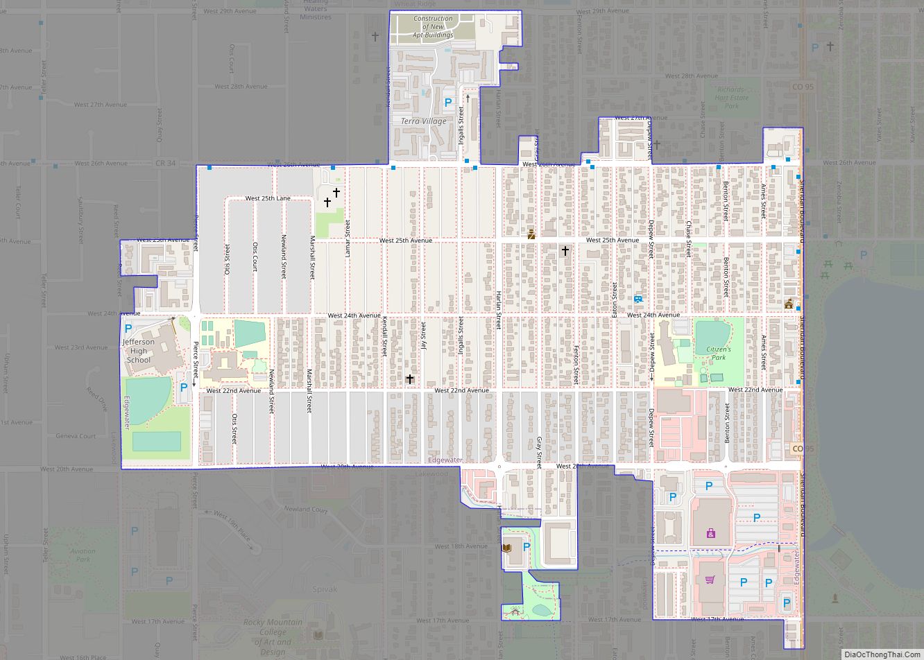
Mountain View location map. Where is Mountain View town?


History
Mountain View was incorporated in 1904 on the land occupied by the Berkeley Annex subdivision established in 1888, which itself was part of the Berkeley Farm founded by John Brisben Walker in 1879.
The town grew to approximately 500 residents living in 272 houses by 2008, with approximately 20 businesses in operation, but occupying a total of only 12 square blocks “sandwiched between Wheat Ridge and Denver.”
By 2009, several businesses had closed down, sales taxes declined, and city workers were paid late on three occasions over two months. The town council added a US$162 fee to sewer bills in order to maintain basic services. The Colorado state government stepped in to pay for getting the city’s financial records in order. The town wrote a letter to its residents saying, “‘Our town is in serious trouble and we need your help!’ [offering] three options: Get some more businesses into town, unincorporate and be absorbed into Jefferson County or let a neighboring community annex the town.”
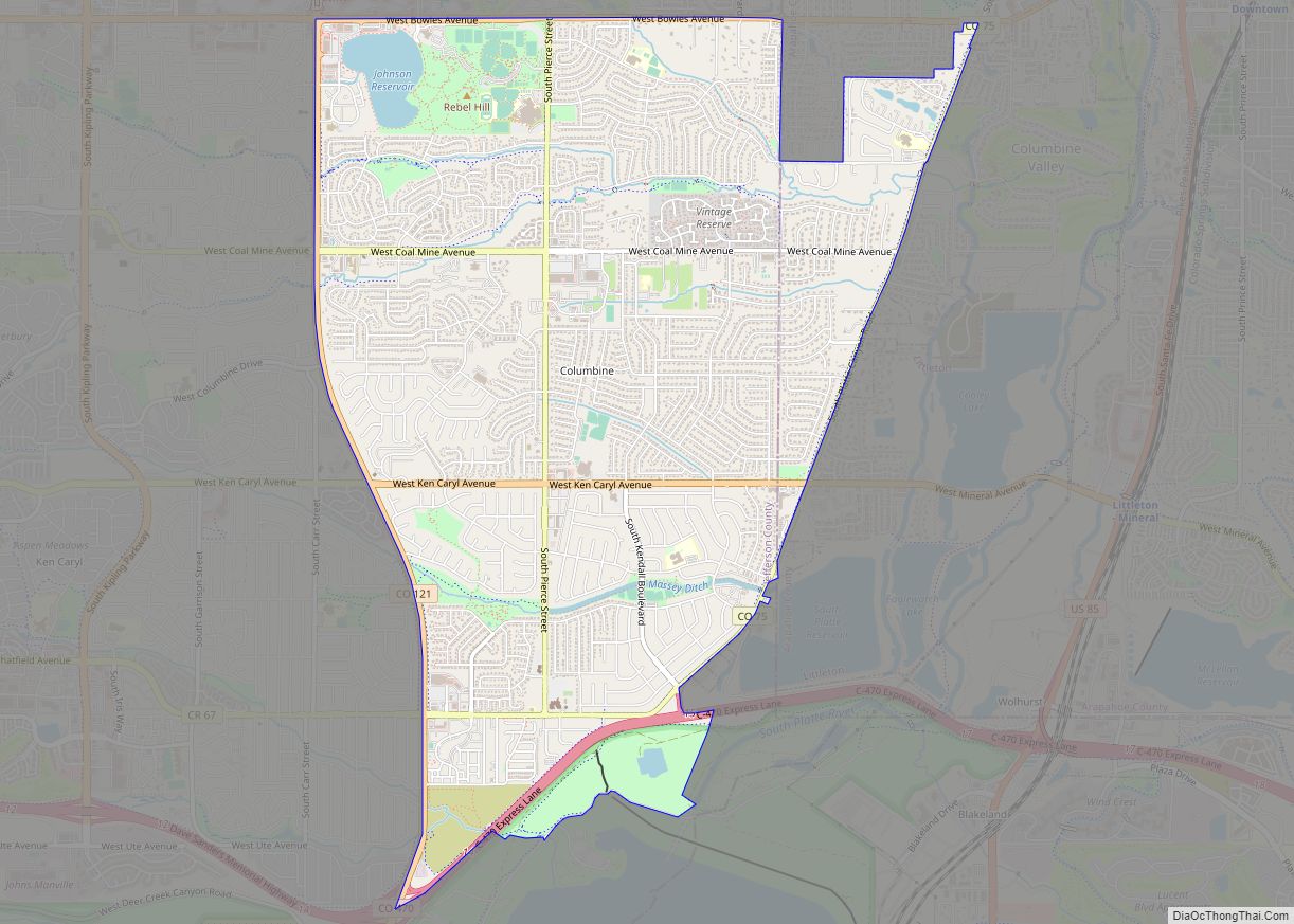
Mountain View Road Map

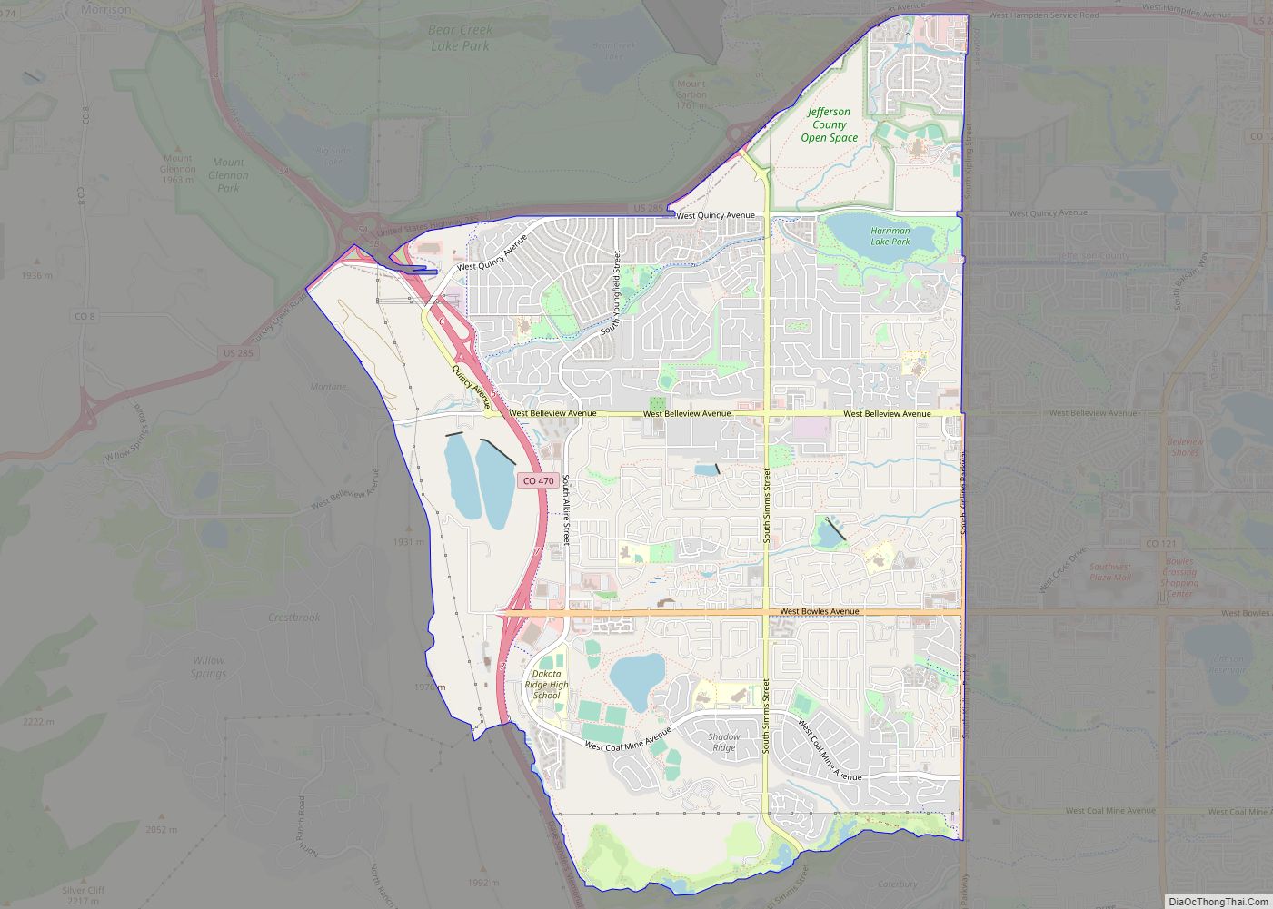
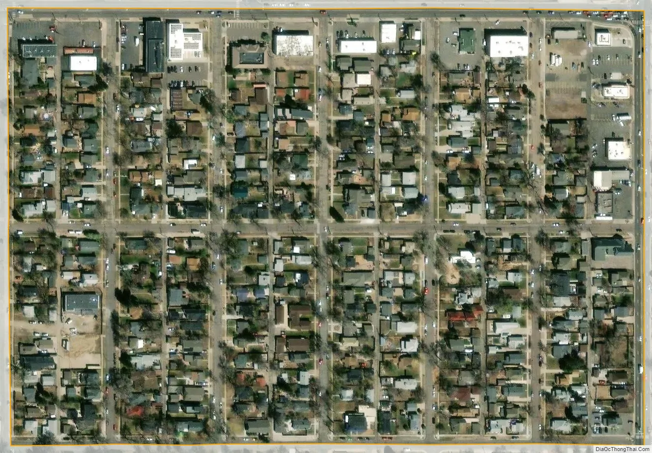
Mountain View city Satellite Map
Geography
Mountain View is located on the eastern edge of Jefferson County at 39°46′32″N 105°3′22″W / 39.77556°N 105.05611°W / 39.77556; -105.05611 (39.775692, −105.056122). It is bordered to the north by Lakeside, to the west and south by Wheat Ridge, and to the east by Denver.
According to the United States Census Bureau, Mountain View has a total area of 0.09 square miles (0.24 km), covering 12 square blocks, all of it land.
See also
Map of Colorado State and its subdivision:- Adams
- Alamosa
- Arapahoe
- Archuleta
- Baca
- Bent
- Boulder
- Broomfield
- Chaffee
- Cheyenne
- Clear Creek
- Conejos
- Costilla
- Crowley
- Custer
- Delta
- Denver
- Dolores
- Douglas
- Eagle
- El Paso
- Elbert
- Fremont
- Garfield
- Gilpin
- Grand
- Gunnison
- Hinsdale
- Huerfano
- Jackson
- Jefferson
- Kiowa
- Kit Carson
- La Plata
- Lake
- Larimer
- Las Animas
- Lincoln
- Logan
- Mesa
- Mineral
- Moffat
- Montezuma
- Montrose
- Morgan
- Otero
- Ouray
- Park
- Phillips
- Pitkin
- Prowers
- Pueblo
- Rio Blanco
- Rio Grande
- Routt
- Saguache
- San Juan
- San Miguel
- Sedgwick
- Summit
- Teller
- Washington
- Weld
- Yuma
- Alabama
- Alaska
- Arizona
- Arkansas
- California
- Colorado
- Connecticut
- Delaware
- District of Columbia
- Florida
- Georgia
- Hawaii
- Idaho
- Illinois
- Indiana
- Iowa
- Kansas
- Kentucky
- Louisiana
- Maine
- Maryland
- Massachusetts
- Michigan
- Minnesota
- Mississippi
- Missouri
- Montana
- Nebraska
- Nevada
- New Hampshire
- New Jersey
- New Mexico
- New York
- North Carolina
- North Dakota
- Ohio
- Oklahoma
- Oregon
- Pennsylvania
- Rhode Island
- South Carolina
- South Dakota
- Tennessee
- Texas
- Utah
- Vermont
- Virginia
- Washington
- West Virginia
- Wisconsin
- Wyoming