Basile is a town in Acadia and Evangeline parishes in the U.S. state of Louisiana. The population was 1,214 in 2020.
The Acadia Parish portion of Basile is part of the Crowley Micropolitan Statistical Area.
| Name: | Basile town |
|---|---|
| LSAD Code: | 43 |
| LSAD Description: | town (suffix) |
| State: | Louisiana |
| County: | Acadia Parish, Evangeline Parish |
| Elevation: | 46 ft (14 m) |
| Total Area: | 1.16 sq mi (3.00 km²) |
| Land Area: | 1.16 sq mi (3.00 km²) |
| Water Area: | 0.00 sq mi (0.00 km²) |
| Total Population: | 1,214 |
| Population Density: | 1,046.55/sq mi (404.00/km²) |
| Area code: | 337 |
| FIPS code: | 2204580 |
Online Interactive Map
Click on ![]() to view map in "full screen" mode.
to view map in "full screen" mode.
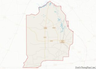
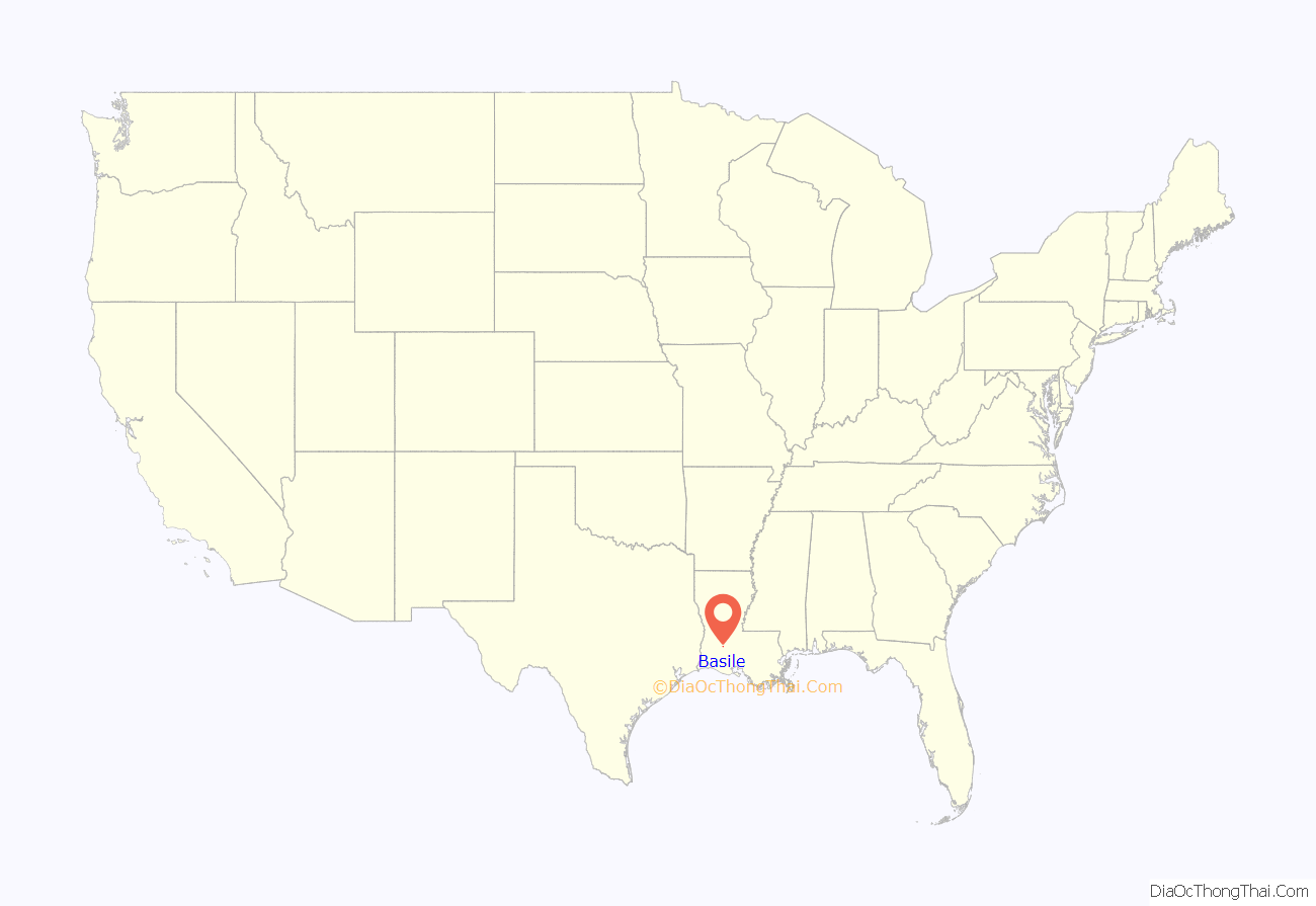
Basile location map. Where is Basile town?

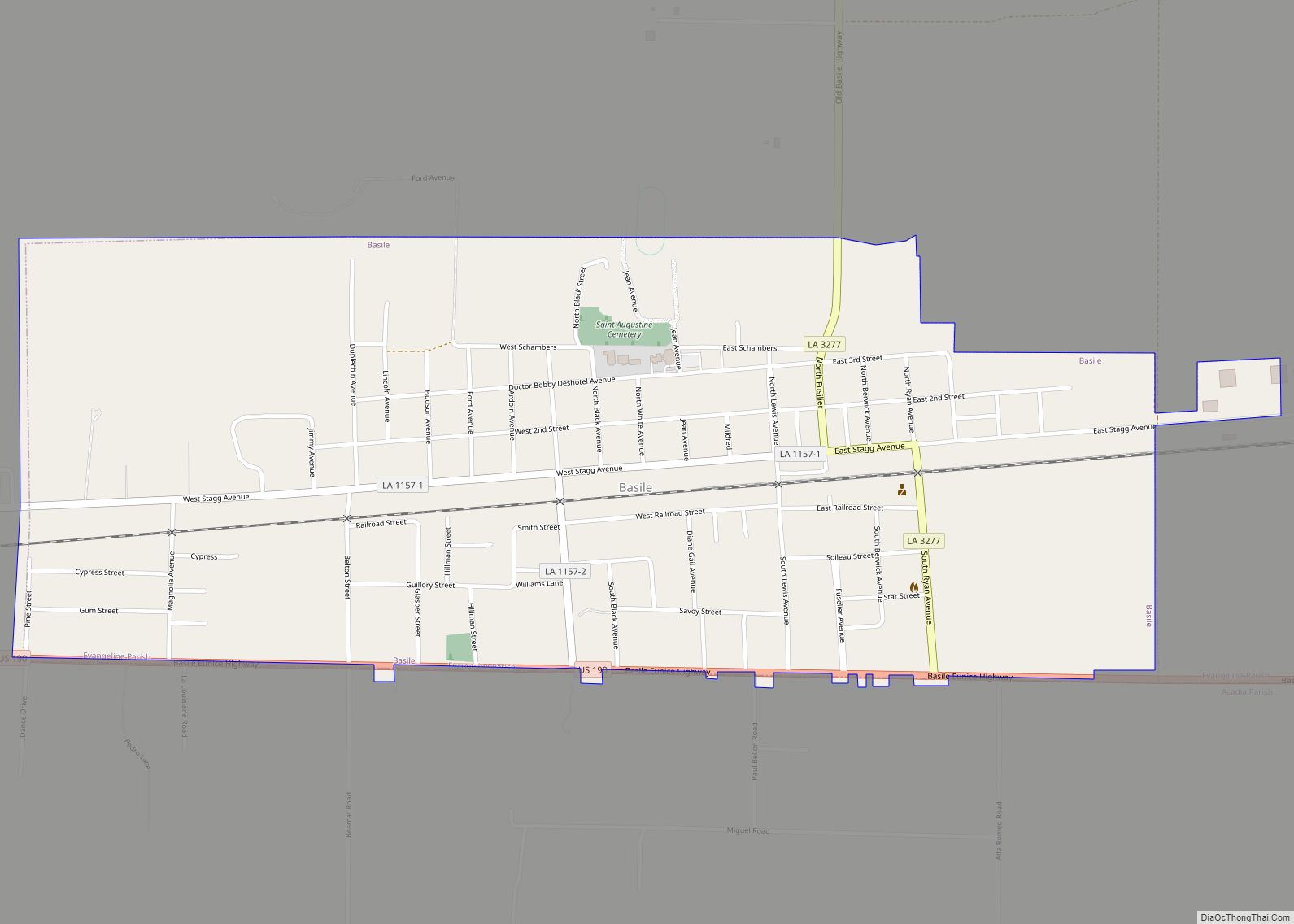
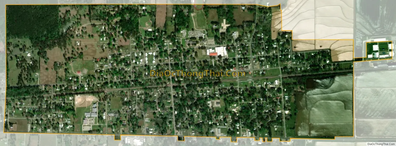
Basile Road Map

Basile city Satellite Map
Geography
Basile is located at 30°29′7″N 92°36′2″W / 30.48528°N 92.60056°W / 30.48528; -92.60056 (30.485148, -92.600589).
Most of the city limits are located in Evangeline Parish with a small southern portion of the town being in Acadia Parish.
U.S. Highway 190 passes through the town with the towns of Elton (7 miles) and Kinder (16 miles) both being located to the west of the town, and Eunice located 11 miles (18 km) east. The city of Jennings, parish seat of Jefferson Davis Parish is located 23 miles (37 km) south via LA-97 which intersects with U.S. 190 east of the town.
According to the United States Census Bureau, the town has a total area of 1.2 square miles (3.0 km), all land.
See also
Map of Louisiana State and its subdivision:- Acadia
- Allen
- Ascension
- Assumption
- Avoyelles
- Beauregard
- Bienville
- Bossier
- Caddo
- Calcasieu
- Caldwell
- Cameron
- Catahoula
- Claiborne
- Concordia
- De Soto
- East Baton Rouge
- East Carroll
- East Feliciana
- Evangeline
- Franklin
- Grant
- Iberia
- Iberville
- Jackson
- Jefferson
- Jefferson Davis
- La Salle
- Lafayette
- Lafourche
- Lincoln
- Livingston
- Madison
- Morehouse
- Natchitoches
- Orleans
- Ouachita
- Plaquemines
- Pointe Coupee
- Rapides
- Red River
- Richland
- Sabine
- Saint Bernard
- Saint Charles
- Saint Helena
- Saint James
- Saint John the Baptist
- Saint Landry
- Saint Martin
- Saint Mary
- Saint Tammany
- Tangipahoa
- Tensas
- Terrebonne
- Union
- Vermilion
- Vernon
- Washington
- Webster
- West Baton Rouge
- West Carroll
- West Feliciana
- Winn
- Alabama
- Alaska
- Arizona
- Arkansas
- California
- Colorado
- Connecticut
- Delaware
- District of Columbia
- Florida
- Georgia
- Hawaii
- Idaho
- Illinois
- Indiana
- Iowa
- Kansas
- Kentucky
- Louisiana
- Maine
- Maryland
- Massachusetts
- Michigan
- Minnesota
- Mississippi
- Missouri
- Montana
- Nebraska
- Nevada
- New Hampshire
- New Jersey
- New Mexico
- New York
- North Carolina
- North Dakota
- Ohio
- Oklahoma
- Oregon
- Pennsylvania
- Rhode Island
- South Carolina
- South Dakota
- Tennessee
- Texas
- Utah
- Vermont
- Virginia
- Washington
- West Virginia
- Wisconsin
- Wyoming