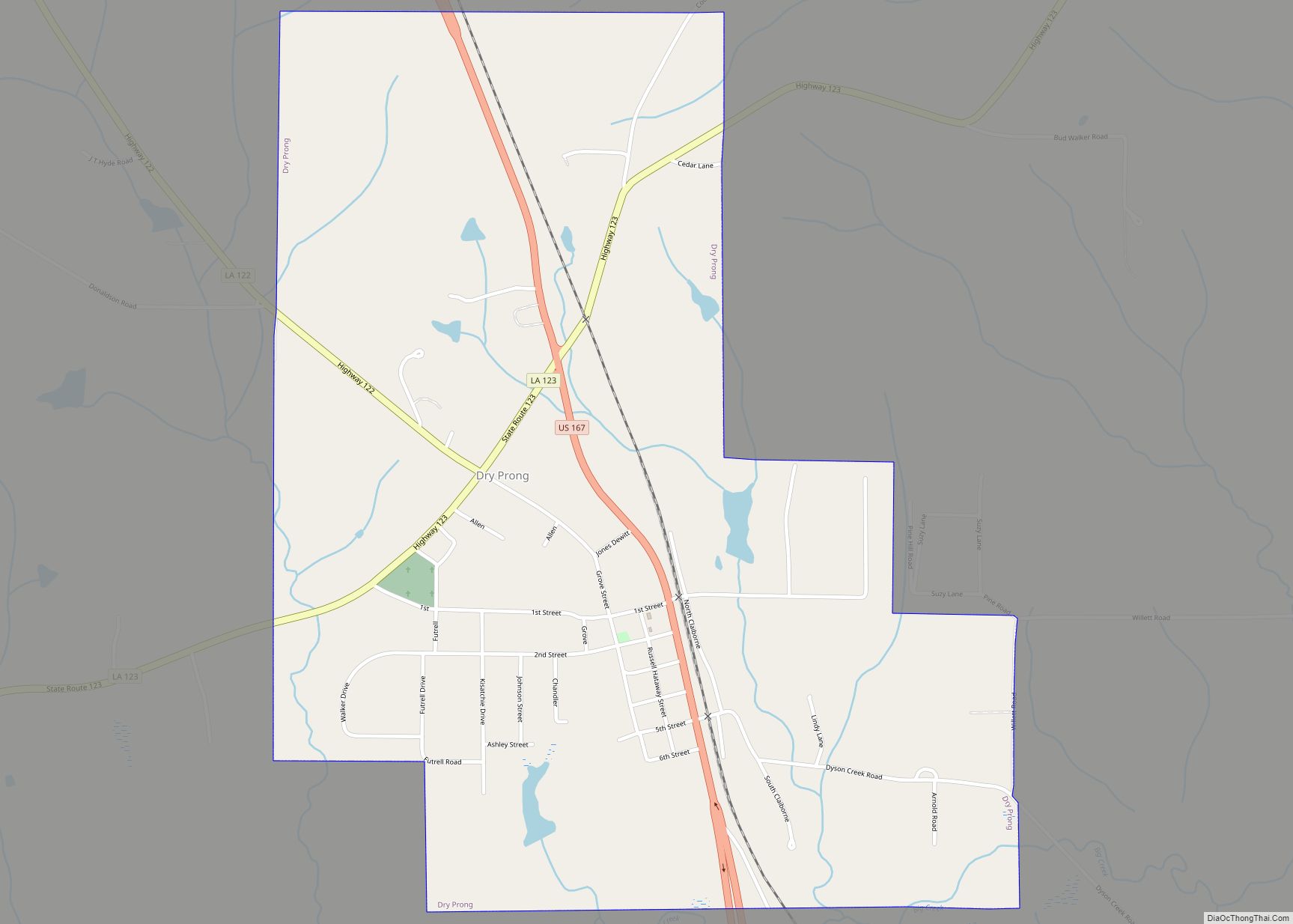
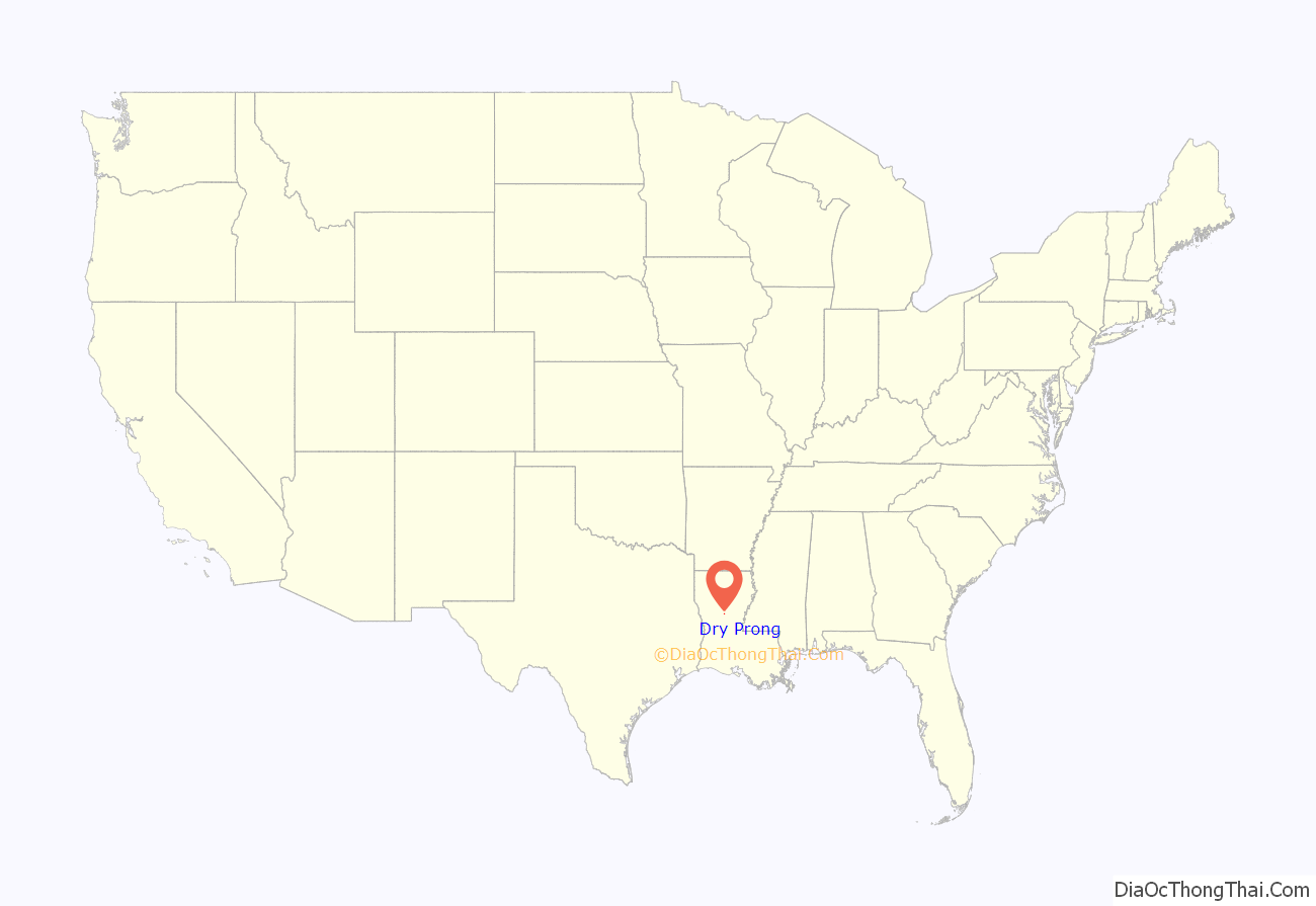
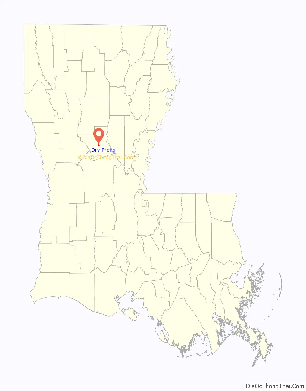
Dry Prong is a village in central Grant Parish, Louisiana, United States. It is part of the Alexandria, Louisiana Metropolitan Statistical Area. The population was 436 at the 2010 census.
| Name: | Dry Prong village |
|---|---|
| LSAD Code: | 47 |
| LSAD Description: | village (suffix) |
| State: | Louisiana |
| County: | Grant Parish |
| Elevation: | 230 ft (70 m) |
| Total Area: | 1.40 sq mi (3.62 km²) |
| Land Area: | 1.39 sq mi (3.59 km²) |
| Water Area: | 0.01 sq mi (0.03 km²) |
| Total Population: | 455 |
| Population Density: | 328.28/sq mi (126.75/km²) |
| Area code: | 318 |
| FIPS code: | 2221765 |
Online Interactive Map
Click on ![]() to view map in "full screen" mode.
to view map in "full screen" mode.
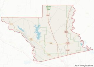
Dry Prong location map. Where is Dry Prong village?
History
Dry Prong was incorporated as a village in 1945.
According to tradition, the village received its name when a family moved to the region in the 1870s to build a sawmill. To power the mill, they built a water wheel, only to discover that the creek over which they had built it went dry every summer: the creek was a “dry prong”. The mill was soon rebuilt over a nearby creek which flowed all year, but the name stuck. The creek is now outside the city limits, on Highway 123. Shane Davis is the current mayor of the village.
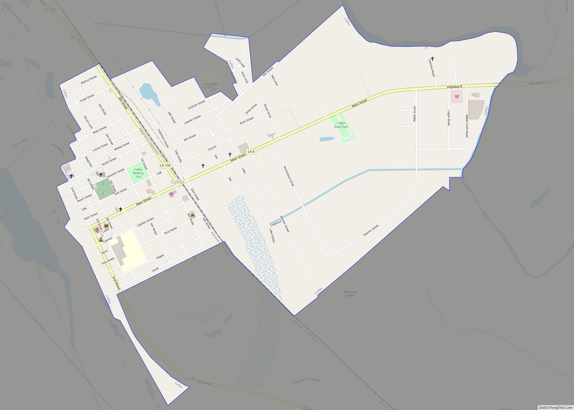
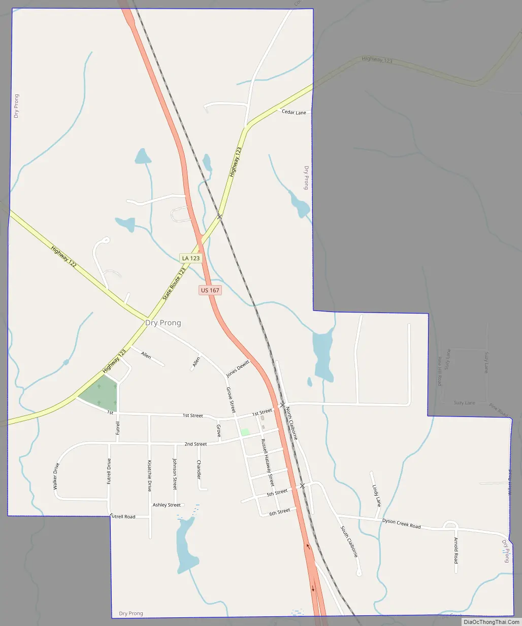
Dry Prong Road Map
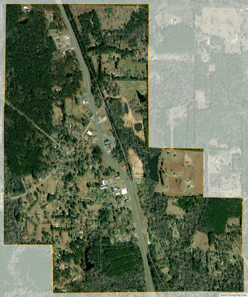
Dry Prong city Satellite Map
Geography
Dry Prong is located at the center of Grant Parish at 31°34′44″N 92°31′46″W / 31.57889°N 92.52944°W / 31.57889; -92.52944 (31.578819, -92.529487). U.S. Route 167 passes through the village, leading north 26 miles (42 km) to Winnfield and south 22 miles (35 km) to Alexandria. The village is within Kisatchie National Forest.
According to the United States Census Bureau, the village has a total area of 1.3 square miles (3.4 km), of which 0.01 square miles (0.02 km), or 0.65%, is water.
Major highways
- U.S. Route 167
- Louisiana Highway 122
- Louisiana Highway 123
See also
Map of Louisiana State and its subdivision:- Acadia
- Allen
- Ascension
- Assumption
- Avoyelles
- Beauregard
- Bienville
- Bossier
- Caddo
- Calcasieu
- Caldwell
- Cameron
- Catahoula
- Claiborne
- Concordia
- De Soto
- East Baton Rouge
- East Carroll
- East Feliciana
- Evangeline
- Franklin
- Grant
- Iberia
- Iberville
- Jackson
- Jefferson
- Jefferson Davis
- La Salle
- Lafayette
- Lafourche
- Lincoln
- Livingston
- Madison
- Morehouse
- Natchitoches
- Orleans
- Ouachita
- Plaquemines
- Pointe Coupee
- Rapides
- Red River
- Richland
- Sabine
- Saint Bernard
- Saint Charles
- Saint Helena
- Saint James
- Saint John the Baptist
- Saint Landry
- Saint Martin
- Saint Mary
- Saint Tammany
- Tangipahoa
- Tensas
- Terrebonne
- Union
- Vermilion
- Vernon
- Washington
- Webster
- West Baton Rouge
- West Carroll
- West Feliciana
- Winn
- Alabama
- Alaska
- Arizona
- Arkansas
- California
- Colorado
- Connecticut
- Delaware
- District of Columbia
- Florida
- Georgia
- Hawaii
- Idaho
- Illinois
- Indiana
- Iowa
- Kansas
- Kentucky
- Louisiana
- Maine
- Maryland
- Massachusetts
- Michigan
- Minnesota
- Mississippi
- Missouri
- Montana
- Nebraska
- Nevada
- New Hampshire
- New Jersey
- New Mexico
- New York
- North Carolina
- North Dakota
- Ohio
- Oklahoma
- Oregon
- Pennsylvania
- Rhode Island
- South Carolina
- South Dakota
- Tennessee
- Texas
- Utah
- Vermont
- Virginia
- Washington
- West Virginia
- Wisconsin
- Wyoming