Pitkin is a census-designated place (CDP) in Vernon Parish, Louisiana, United States.
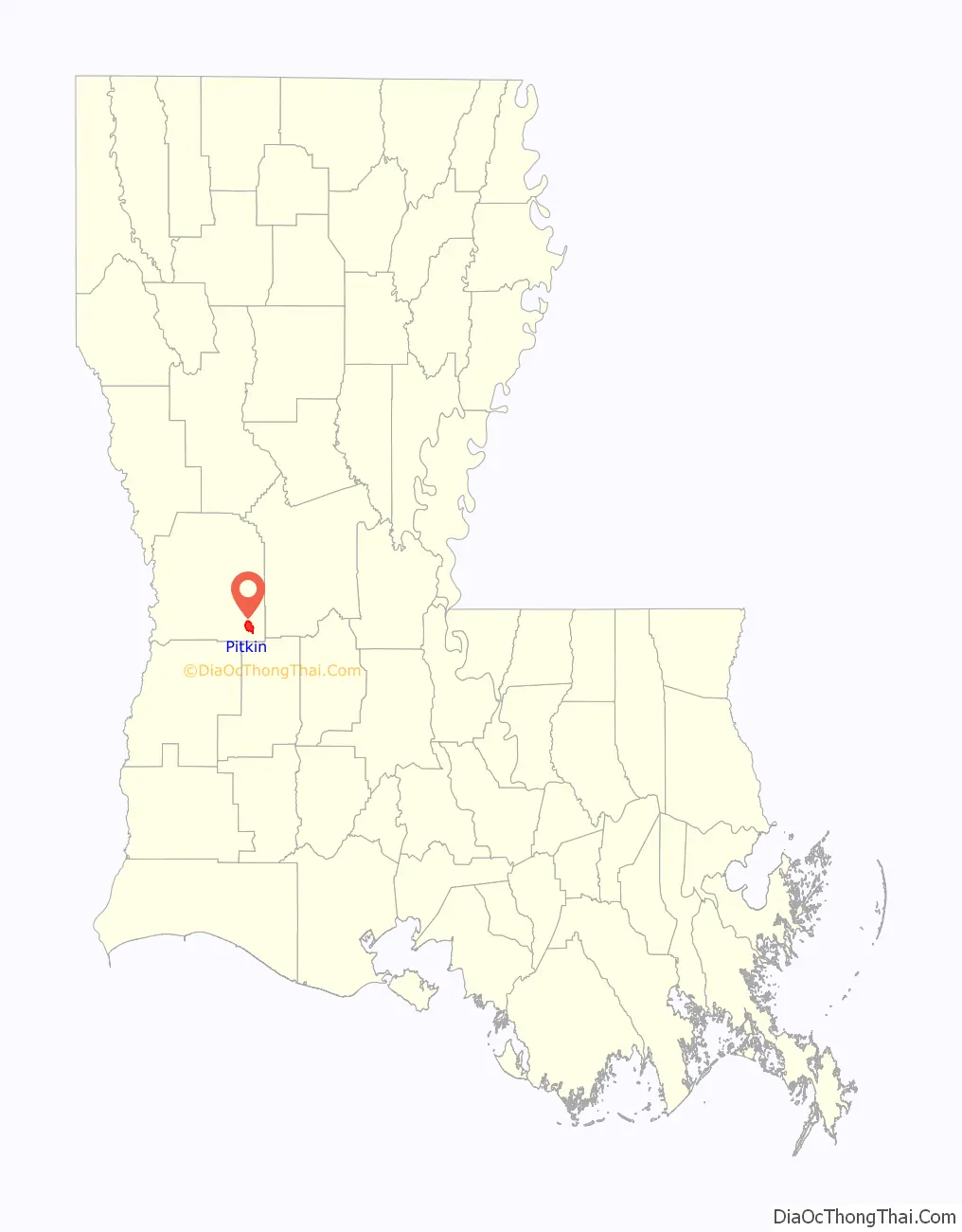
Pitkin is approximately 40 miles (64 km) southeast of Leesville, the parish seat. Pitkin is approximately 45 miles (72 km) southwest of the city of Alexandria and about 150 miles (240 km) due west of the Louisiana State Penitentiary (LSP, also known as Angola) in West Feliciana Parish. As of the 2010 census, the CDP’s population was 576. James Ridgeway of Mother Jones said that the Pitkin area had 1,965 residents.
Burl Cain, the warden of LSP, was reared in Pitkin. His older brother, James David, a former member of both houses of the Louisiana State Legislature, was born in Pitkin in 1938.
| Name: | Pitkin CDP |
|---|---|
| LSAD Code: | 57 |
| LSAD Description: | CDP (suffix) |
| State: | Louisiana |
| County: | Vernon Parish |
| Elevation: | 167 ft (51 m) |
| Total Area: | 6.24 sq mi (16.16 km²) |
| Land Area: | 6.23 sq mi (16.13 km²) |
| Water Area: | 0.01 sq mi (0.03 km²) |
| Total Population: | 455 |
| Population Density: | 73.05/sq mi (28.20/km²) |
| Area code: | 337 |
| FIPS code: | 2260600 |
| GNISfeature ID: | 555670 |
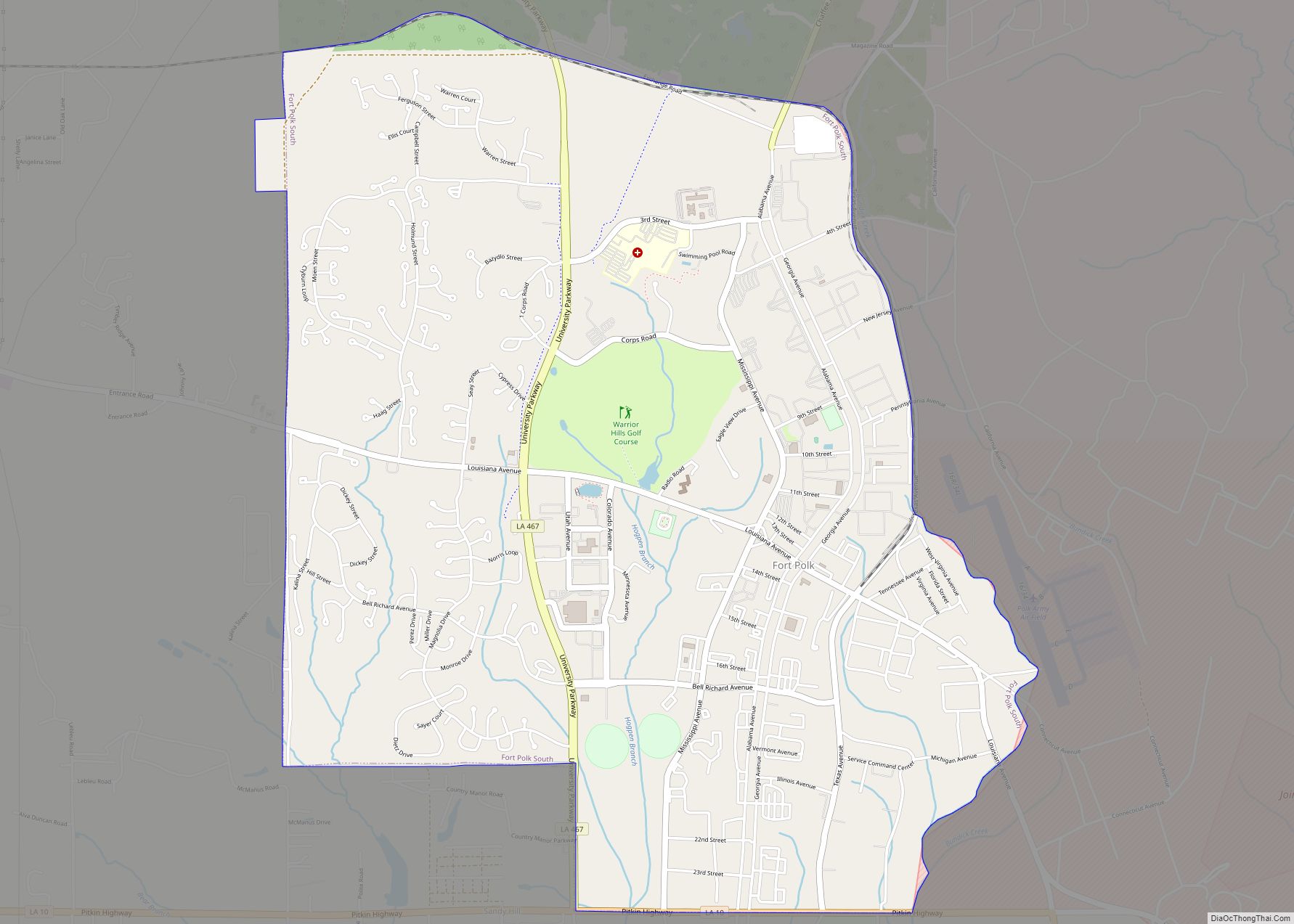
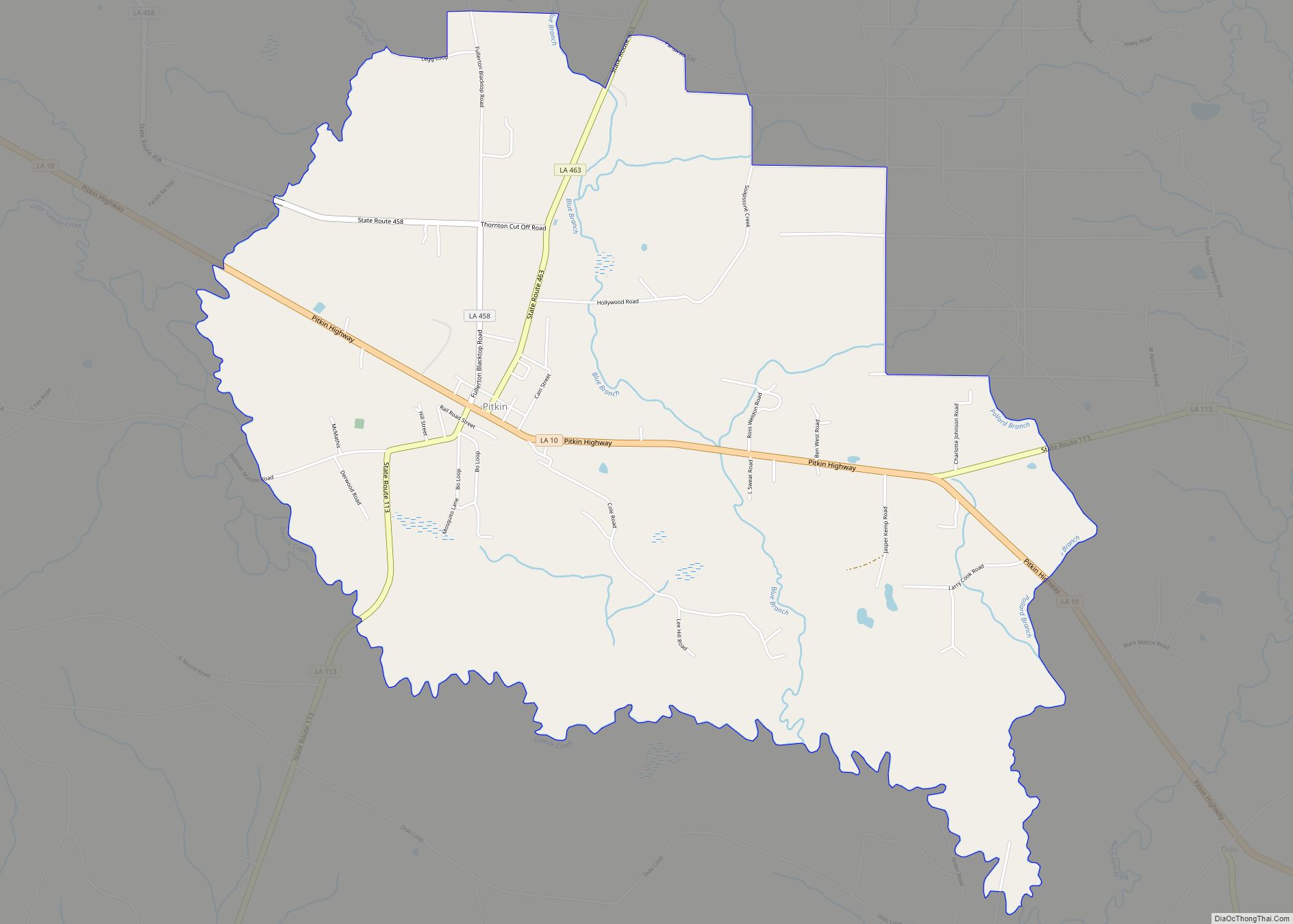
Online Interactive Map
Click on ![]() to view map in "full screen" mode.
to view map in "full screen" mode.
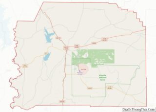
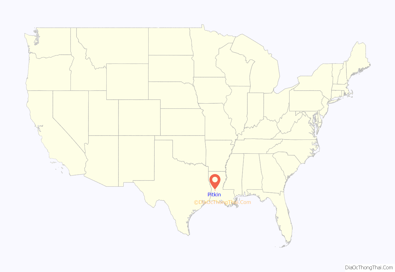
Pitkin location map. Where is Pitkin CDP?
History
In 1863, during the Civil War, Confederate soldiers built a military road from Niblett’s Bluff to Alexandria that passed through the area. The Vernon Parish Tourism Commission placed an historical marker in 2009.
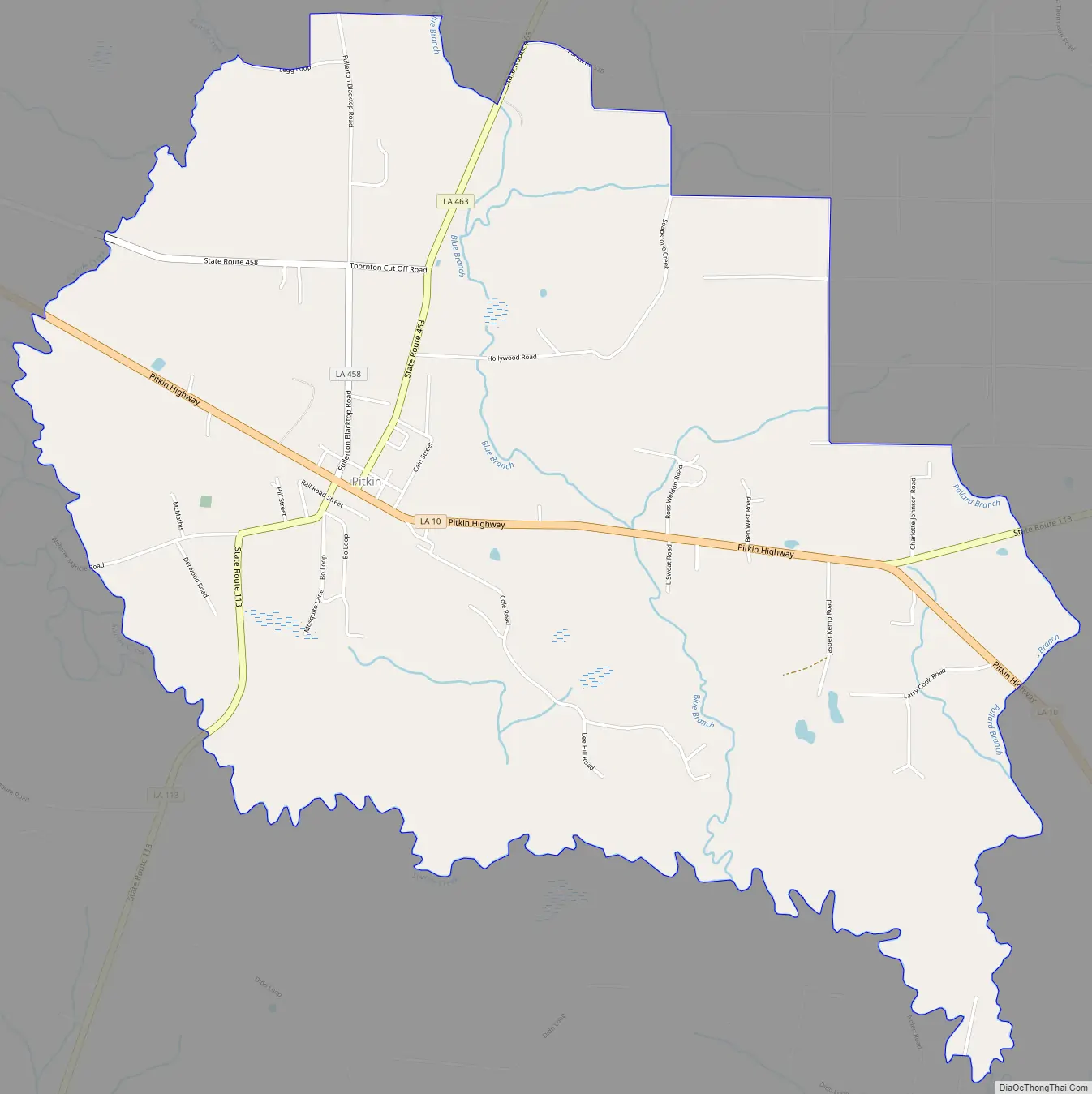
Pitkin Road Map
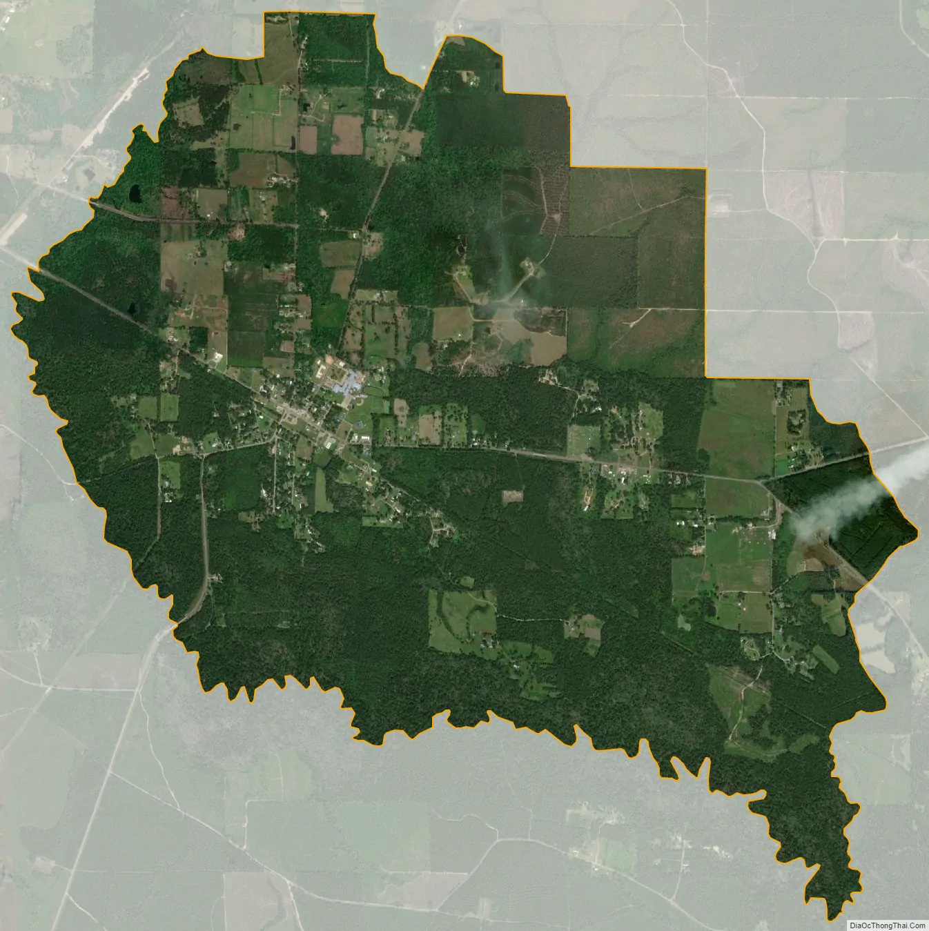
Pitkin city Satellite Map
See also
Map of Louisiana State and its subdivision:- Acadia
- Allen
- Ascension
- Assumption
- Avoyelles
- Beauregard
- Bienville
- Bossier
- Caddo
- Calcasieu
- Caldwell
- Cameron
- Catahoula
- Claiborne
- Concordia
- De Soto
- East Baton Rouge
- East Carroll
- East Feliciana
- Evangeline
- Franklin
- Grant
- Iberia
- Iberville
- Jackson
- Jefferson
- Jefferson Davis
- La Salle
- Lafayette
- Lafourche
- Lincoln
- Livingston
- Madison
- Morehouse
- Natchitoches
- Orleans
- Ouachita
- Plaquemines
- Pointe Coupee
- Rapides
- Red River
- Richland
- Sabine
- Saint Bernard
- Saint Charles
- Saint Helena
- Saint James
- Saint John the Baptist
- Saint Landry
- Saint Martin
- Saint Mary
- Saint Tammany
- Tangipahoa
- Tensas
- Terrebonne
- Union
- Vermilion
- Vernon
- Washington
- Webster
- West Baton Rouge
- West Carroll
- West Feliciana
- Winn
- Alabama
- Alaska
- Arizona
- Arkansas
- California
- Colorado
- Connecticut
- Delaware
- District of Columbia
- Florida
- Georgia
- Hawaii
- Idaho
- Illinois
- Indiana
- Iowa
- Kansas
- Kentucky
- Louisiana
- Maine
- Maryland
- Massachusetts
- Michigan
- Minnesota
- Mississippi
- Missouri
- Montana
- Nebraska
- Nevada
- New Hampshire
- New Jersey
- New Mexico
- New York
- North Carolina
- North Dakota
- Ohio
- Oklahoma
- Oregon
- Pennsylvania
- Rhode Island
- South Carolina
- South Dakota
- Tennessee
- Texas
- Utah
- Vermont
- Virginia
- Washington
- West Virginia
- Wisconsin
- Wyoming