Rosepine is a town in Vernon Parish, Louisiana, United States. The population was 1,692 at the 2010 census. It is part of the Fort Polk South Micropolitan Statistical Area.
| Name: | Rosepine town |
|---|---|
| LSAD Code: | 43 |
| LSAD Description: | town (suffix) |
| State: | Louisiana |
| County: | Vernon Parish |
| Elevation: | 230 ft (70 m) |
| Total Area: | 2.43 sq mi (6.30 km²) |
| Land Area: | 2.43 sq mi (6.28 km²) |
| Water Area: | 0.01 sq mi (0.01 km²) |
| Total Population: | 1,519 |
| Population Density: | 625.88/sq mi (241.69/km²) |
| Area code: | 337 |
| FIPS code: | 2266200 |
| Website: | townofrosepine.com |
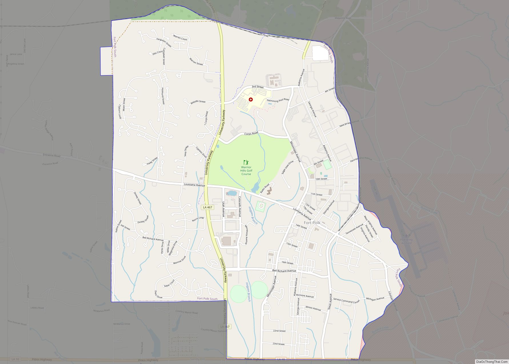
Online Interactive Map
Click on ![]() to view map in "full screen" mode.
to view map in "full screen" mode.
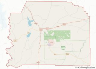
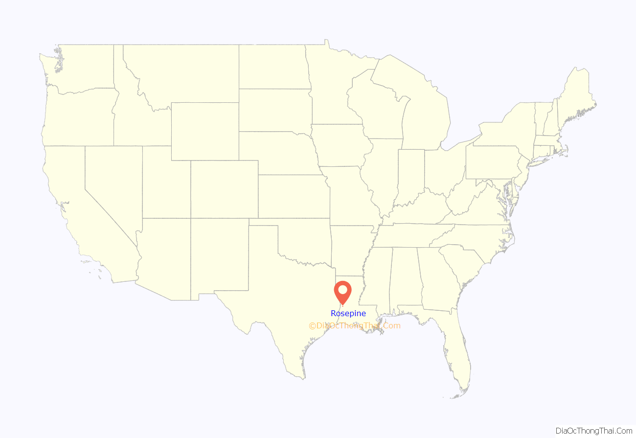
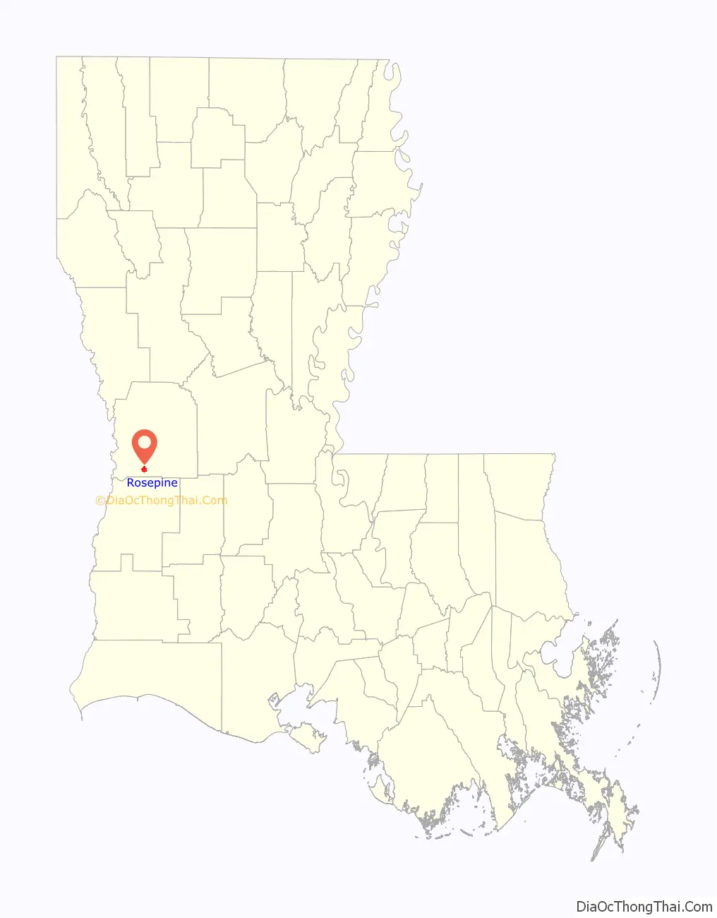
Rosepine location map. Where is Rosepine town?
History
In 1897 the Kansas City, Shreveport & Gulf Railway Company (KCS&G), owned by the Kansas City, Pittsburg and Gulf Railroad (KCP&G) was completed through Rosepine, Dequincy, and on to Port Arthur, Texas. By 1901 sawmills of Brice Brothers and Craft, Diamond Lumber Company Ltd, Lewis and Williams, and Rosepine Lumber Company were in operation. In 1900 the Kansas City Southern Railway took possession of the KCS&G.
Rosepine was incorporated in 1902, with J.J. Cryer as mayor. and reincorporated in 1950. In 1900 the town had 75 residents but grew to more than 1,000 by 1906.
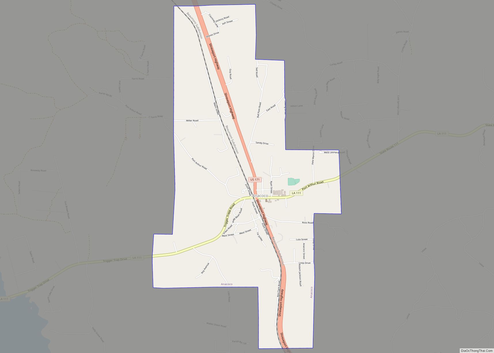
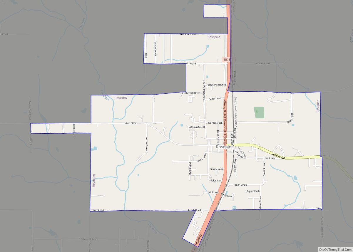
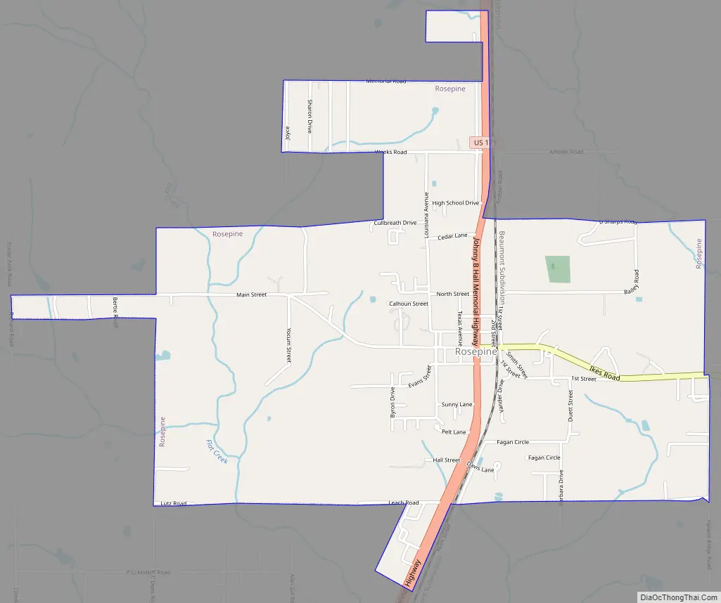
Rosepine Road Map
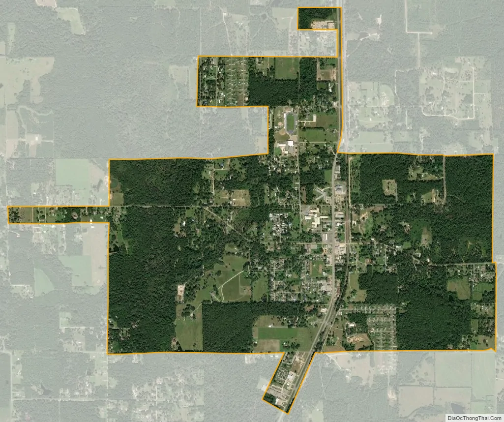
Rosepine city Satellite Map
Geography
Rosepine is located at 30°55′11″N 93°16′58″W / 30.91972°N 93.28278°W / 30.91972; -93.28278 (30.919620, -93.282869).
According to the United States Census Bureau, the town has a total area of 2.2 square miles (5.8 km), all land. It is located sixteen miles southwest of Leesville.
See also
Map of Louisiana State and its subdivision:- Acadia
- Allen
- Ascension
- Assumption
- Avoyelles
- Beauregard
- Bienville
- Bossier
- Caddo
- Calcasieu
- Caldwell
- Cameron
- Catahoula
- Claiborne
- Concordia
- De Soto
- East Baton Rouge
- East Carroll
- East Feliciana
- Evangeline
- Franklin
- Grant
- Iberia
- Iberville
- Jackson
- Jefferson
- Jefferson Davis
- La Salle
- Lafayette
- Lafourche
- Lincoln
- Livingston
- Madison
- Morehouse
- Natchitoches
- Orleans
- Ouachita
- Plaquemines
- Pointe Coupee
- Rapides
- Red River
- Richland
- Sabine
- Saint Bernard
- Saint Charles
- Saint Helena
- Saint James
- Saint John the Baptist
- Saint Landry
- Saint Martin
- Saint Mary
- Saint Tammany
- Tangipahoa
- Tensas
- Terrebonne
- Union
- Vermilion
- Vernon
- Washington
- Webster
- West Baton Rouge
- West Carroll
- West Feliciana
- Winn
- Alabama
- Alaska
- Arizona
- Arkansas
- California
- Colorado
- Connecticut
- Delaware
- District of Columbia
- Florida
- Georgia
- Hawaii
- Idaho
- Illinois
- Indiana
- Iowa
- Kansas
- Kentucky
- Louisiana
- Maine
- Maryland
- Massachusetts
- Michigan
- Minnesota
- Mississippi
- Missouri
- Montana
- Nebraska
- Nevada
- New Hampshire
- New Jersey
- New Mexico
- New York
- North Carolina
- North Dakota
- Ohio
- Oklahoma
- Oregon
- Pennsylvania
- Rhode Island
- South Carolina
- South Dakota
- Tennessee
- Texas
- Utah
- Vermont
- Virginia
- Washington
- West Virginia
- Wisconsin
- Wyoming