St. Joseph, often called St. Joe, is a town in, and the parish seat of, rural Tensas Parish in northeastern Louisiana, United States, in the delta of the Mississippi River. The population was 1,176 at the 2010 census. The town had an African-American majority of 77.4 percent in 2010.
| Name: | St. Joseph town |
|---|---|
| LSAD Code: | 43 |
| LSAD Description: | town (suffix) |
| State: | Louisiana |
| County: | Tensas Parish |
| Elevation: | 75 ft (23 m) |
| Total Area: | 0.89 sq mi (2.31 km²) |
| Land Area: | 0.89 sq mi (2.31 km²) |
| Water Area: | 0.00 sq mi (0.00 km²) |
| Total Population: | 831 |
| Population Density: | 933.71/sq mi (360.36/km²) |
| ZIP code: | 71366 |
| Area code: | 318 |
| FIPS code: | 2267495 |
Online Interactive Map
Click on ![]() to view map in "full screen" mode.
to view map in "full screen" mode.
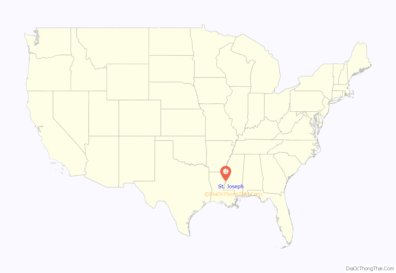
St. Joseph location map. Where is St. Joseph town?
History
Unique for the Deep South, St. Joseph was planned and developed in 1843 by European-American settlers around a New England-style village green. The downtown area along Plank Road is listed on the National Register of Historic Places. The area around the town was developed for cotton plantations.
From 1862 to 1865, Louisiana was part of the Confederacy’s Trans-Mississippi Department, and St. Joseph operated as a landing for a major route across the Mississippi River. According to the historian John D. Winters in his The Civil War in Louisiana, “Such a strong force of Confederate cavalry occupied the Mississippi side opposite St. Joseph that all Federal attempts to close the transit in January [1865] ended in failure.”
In 1879, the Jesse James gang robbed two stores in far western Mississippi, at Washington and Fayette. The gang absconded with $2,000 cash in the second robbery, crossed the river, and took shelter in abandoned cabins on the Kemp Plantation south of St. Joseph. A posse caught up with them, attacking and killing two of the outlaws, but failed to capture the entire gang. Among the deputies was Jefferson B. Snyder, who later was a long-serving district attorney in northeastern Louisiana. Jesse James was killed three years later by one of his own gang members in St. Joseph, Missouri.
St. Joseph is the entry community to Lake Bruin State Park located on Lake Bruin, an oxbow lake of the nearby Mississippi River.
On August 13, 2013, local resident Fuaed Abdo Ahmed took two women and a man hostage at the St. Joseph branch of Tensas State Bank, saying he wanted passage out of the country. After releasing one hostage, he shot one hostage and critically wounded a second before being fatally shot by police.
Political history
When St. Joseph was incorporated as a town in 1901, planter and businessman William Mackenzie Davidson was elected as the first mayor of St. Joseph. Absent competitive politics, given the disenfranchisement of African Americans by the state constitution in 1898, Davidson was re-elected repeatedly, holding the position until his accidental death in January 1930. Davidson was a founder and the general manager of the powerful Panola Company, an agricultural business in St. Joseph. At one point it controlled 10,000 acres of valuable farmland.
Davidson also sat on the board of the Bank of St. Joseph, of which he later became the president. He worked to bring the USDA Agricultural Experiment Station to St. Joseph and lobbied for construction of the Mississippi River bridge to connect the town to Natchez, Mississippi.
Edward L. Brown Sr. was born on October 20, 1952, to son of Leon and Beatrice Brown. He graduated from Grambling State University and is married to Betty S. Brown; the couple has four children. Brown was elected in 2000 as the first African-American mayor of St. Joseph, unseating the long-term white incumbent, Whitfield Jones (February 18, 1929 – August 11, 2013) in the nonpartisan blanket primary. Brown polled 447 votes (64.9 percent) to Jones’ 242 (35.1 percent).
Brown was repeatedly re-elected. In the November 6, 2012 election, Brown secured his fourth term with 384 votes (57.7 percent) over Leslie Dandridge Durham, a fellow Democrat who polled 282 votes (42.3 percent).
Prior to 1968, each parish in Louisiana, regardless of population, elected at least one member to the Louisiana House of Representatives. This method of representation resulted in under-representation of the more heavily populated and urbanized parishes. The US Supreme Court ruled on the principle that state legislatures had to establish districts with roughly equal populations, in order to support the principle of equity of “one man, one vote”. It said the states had no basis for geographic representation in their legislatures. Given the rural bias and dominance in many state legislatures, many states had not accomplished redistricting since early in the 20th century, although it is to be conducted as needed after every decennial census.
The last state representative member to represent only Tensas Parish was Democrat S. S. DeWitt of Newellton and later St. Joseph. DeWitt represented Tensas Parish from 1964 to 1968. After the state legislature created districts that were roughly equal in population, DeWitt succeeded in being elected again, to serve from 1968 to 1972. He and Lantz Womack of Winnsboro together represented Franklin, Tensas, and Madison parishes. Womack defeated DeWitt in the 1971 primary. DeWitt later switched to Republican Party affiliation.
Water system
In December 2012, St. Joseph residents were placed under an advisory to boil their drinking water because of problems with the aging municipal water system. A mechanical failure at the town treatment plant caused a sudden drop in the water supply. In March 2013, a water main cracked. There are leaks at the base of the city water tower. State Senator Francis C. Thompson, whose district includes Tensas Parish, sought emergency funding for repairs to the system, which serves about seven hundred customers.
In 2016 the town had failed to obtain an approved town audit for the financial year ending 2015, needed by the Louisiana Legislative Auditor’s Office to enable progress on the funds. In 2015, it received $553,000 in grants towards the issue. More than $6 million is available once the town’s audit is approved by the Auditor’s Office.
In December 2016, Governor John Bel Edwards vowed to replace the entire St. Joseph water system. Engineer Bryant Hammett, a Democratic former state representative who performed similar work in his native Ferriday, predicted the project, estimated at $9 million, could be finished by September 2017. Residents were urged not to drink the water or use it in cooking, but they can use it for bathing or washing clothing. The Governor’s Office of Homeland Security was providing bottled drinking water for St. Joseph residents.
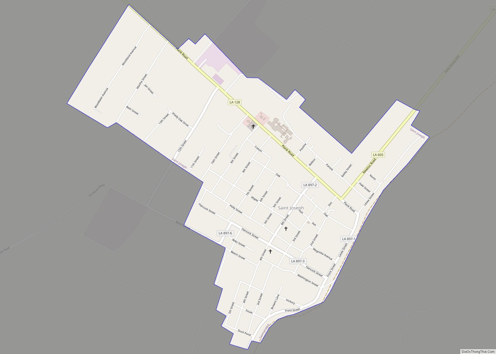
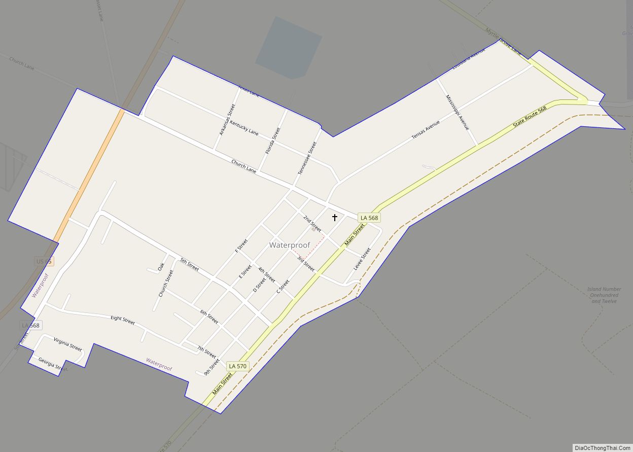
St. Joseph Road Map
St. Joseph city Satellite Map
Geography
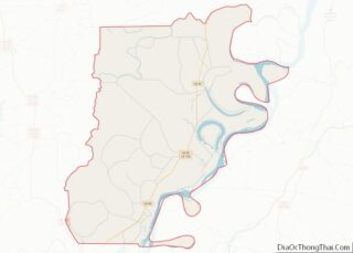
According to the United States Census Bureau, the town has a total area of 0.9 square mile (2.3 km), all land.
Climate
See also
Map of Louisiana State and its subdivision:- Acadia
- Allen
- Ascension
- Assumption
- Avoyelles
- Beauregard
- Bienville
- Bossier
- Caddo
- Calcasieu
- Caldwell
- Cameron
- Catahoula
- Claiborne
- Concordia
- De Soto
- East Baton Rouge
- East Carroll
- East Feliciana
- Evangeline
- Franklin
- Grant
- Iberia
- Iberville
- Jackson
- Jefferson
- Jefferson Davis
- La Salle
- Lafayette
- Lafourche
- Lincoln
- Livingston
- Madison
- Morehouse
- Natchitoches
- Orleans
- Ouachita
- Plaquemines
- Pointe Coupee
- Rapides
- Red River
- Richland
- Sabine
- Saint Bernard
- Saint Charles
- Saint Helena
- Saint James
- Saint John the Baptist
- Saint Landry
- Saint Martin
- Saint Mary
- Saint Tammany
- Tangipahoa
- Tensas
- Terrebonne
- Union
- Vermilion
- Vernon
- Washington
- Webster
- West Baton Rouge
- West Carroll
- West Feliciana
- Winn
- Alabama
- Alaska
- Arizona
- Arkansas
- California
- Colorado
- Connecticut
- Delaware
- District of Columbia
- Florida
- Georgia
- Hawaii
- Idaho
- Illinois
- Indiana
- Iowa
- Kansas
- Kentucky
- Louisiana
- Maine
- Maryland
- Massachusetts
- Michigan
- Minnesota
- Mississippi
- Missouri
- Montana
- Nebraska
- Nevada
- New Hampshire
- New Jersey
- New Mexico
- New York
- North Carolina
- North Dakota
- Ohio
- Oklahoma
- Oregon
- Pennsylvania
- Rhode Island
- South Carolina
- South Dakota
- Tennessee
- Texas
- Utah
- Vermont
- Virginia
- Washington
- West Virginia
- Wisconsin
- Wyoming
