Thibodaux (/ˈtɪbədoʊ/ TIB-ə-doh) is a city in, and the parish seat of, Lafourche Parish, Louisiana, United States, along the banks of Bayou Lafourche in the northwestern part of the parish. The population was 15,948 at the 2020 census. Thibodaux is a principal city of the Houma–Bayou Cane–Thibodaux metropolitan statistical area.
Thibodaux is nicknamed the “Queen City of Lafourche.”
| Name: | Thibodaux city |
|---|---|
| LSAD Code: | 25 |
| LSAD Description: | city (suffix) |
| State: | Louisiana |
| County: | Lafourche Parish |
| Incorporated: | 1830 |
| Elevation: | 13 ft (4 m) |
| Land Area: | 6.79 sq mi (17.59 km²) |
| Water Area: | 0.00 sq mi (0.00 km²) |
| Population Density: | 2,348.06/sq mi (906.58/km²) |
| Area code: | 985 |
| FIPS code: | 2275425 |
| Website: | ci.thibodaux.la.us |
Online Interactive Map
Click on ![]() to view map in "full screen" mode.
to view map in "full screen" mode.
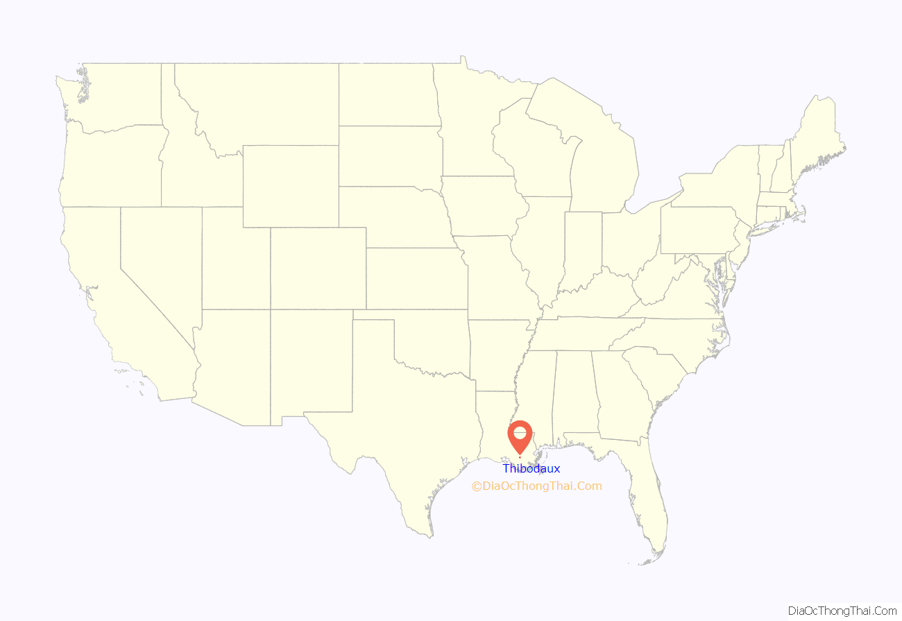
Thibodaux location map. Where is Thibodaux city?
History
The first documented Native American inhabitants of the Thibodaux area were the Chawasha, a small tribe related to the Chitimacha of the upper Bayou Lafourche. The first settlers of European descent in this area arrived in the 18th century, when Louisiana was the Spanish province of Luisiana. They consisted of French nationals and Louisiana-born French and German creoles, followed shortly by Spanish and French Acadian immigrants. The colonists gradually began to import Africans in bondage as slaves to work on and develop rice and sugar cane plantations.
The United States acquired Louisiana from France in 1803 as part of the Louisiana Purchase, after Napoleon, then First Consul, decided to sell France’s North American possessions due to the failure to regain control of Saint-Domingue (which became the Republic of Haiti) and the impending threat of war with Great Britain. The present State of Louisiana became the U.S. Territory of Orleans, and in 1805 the Territorial Legislature created ten counties, among them the County of Lafourche (later Lafourche Parish). Americans from other states then began to settle in the area.
As early as 1808, a trading post and small village, known as “Thibodeauxville,” had been established on the west bank of Bayou Lafourche, due to its strategic location near the confluence of Bayou Lafourche and Bayou Terrebonne. By the 1820s, the village had grown to a local center of the sugar cane industry. This settlement was formally incorporated as a town in 1830 under the name “Thibodauxville”, in honor of local planter Henry Schuyler Thibodaux, the son of Acadian exiles. He had provided the land for the original village center and, as lieutenant governor, assumed the office of acting governor of the State of Louisiana in 1824. The area was developed in the antebellum period for sugar cane plantations, and Thibodaux was the trading center of the region. Sugar cane was an important commodity crop. The name of the town was shortened to “Thibodeaux” in 1838. The current spelling of the city’s name, “Thibodaux,” was apparently officially adopted in 1900.
In January 1844, the prominent statesman and U.S. Senator Henry Clay, the “Great Compromiser,” visited Thibodaux for several days as part of his campaign for the U.S. Presidency. A residential lane along the canal connecting Bayou Lafourche to Bayou Terrebonne was later named in his honor.
Confederate General Braxton Bragg, the victor at Chickamauga, and his wife had a plantation, “Bivouac,” just north of Thibodaux and attended services at St. John’s Episcopal Church on Jackson Street, founded by Bishop Leonidas Polk, the owner of “Leighton” plantation and later a Confederate lieutenant general killed in action.
In 1896, the first rural free delivery of mail in Louisiana began in Thibodaux. It was the second such RFD in the United States.
Civil War
On June 20, 1863, Texas Confederate cavalry forces attacked the Union force occupying Thibodaux and captured the town. In a letter dated July 1, 1863, to his sister, Confederate Texas cavalryman Benjamin Franklin “Frank” Price proudly described the courage of his horse and a dramatic cavalry charge across the rebuilt Jackson Street bridge:
Post-Reconstruction and Thibodaux massacre
In the late 19th century, after having taken back control of the state government following the Reconstruction era by use of election fraud and violence by paramilitary forces such as the White League, which suppressed black voting, white Democrats continued to consolidate their power over the state government. In the late 1880s they were challenged temporarily by a biracial coalition of Populists and Republicans. In this period, because blacks were skilled sugar workers, they briefly retained more rights and political power than did African Americans in the north of the state who worked as tenant farmers or sharecroppers on cotton plantations.
But from 1880, through the Louisiana Sugar Producers Association, some 200 major planters worked to regain slave conditions and control of workers, adopting uniform pay, withholding 80 percent of the workers’ pay until after harvest, and making them accept scrip, redeemable only at plantation stores owned by the planters, rather than cash. Cane workers struck intermittently against these conditions.
The Knights of Labor organized a chapter in 1886 in Shreveport, Louisiana and attracted many cane workers seeking better conditions. A sugar cane workers’ strike in Lafourche and three neighboring parishes involved 10,000 workers, 1,000 of whom were white, during the critical “rolling period” of the sugar cane harvest. Planters were alarmed both by outside labor organizations and the thought of losing their total crops. The governor called in the state militia at the planters’ request; they protected strikebreakers and evicted black workers. The strike was broken in Terrebone Parish.
Paramilitary forces closed off Thibodaux, where numerous black workers had taken refuge. A New Orleans newspaper reported that “for three weeks past the negro women of the town have been making threats to the effect that if the white men resorted to arms they would burn the town and [end] the lives of the white women and children with their cane knives.” Similarly, in the days leading up to the climactic event, it was reported that “[s]ome of the colored women made open threats against the people and the community, declaring that they would destroy any house in the town” and that “[n]ot a few of the negroes boasted that in case a fight was made they were fully prepared for it.” One historian adds:
On November 23, after the ambush and wounding of two pickets posted in the southern section of town, the militia committee began to indiscriminately shoot black workers and some family members, killing an estimated 35 (and quite possibly more) in what is called the “Thibodaux massacre” of November 23, 1887. The incident is generally considered to be the second bloodiest labor dispute in U.S. history. Casualties including wounded and missing were claimed by some to be in the hundreds, but there has never been an accurate count.
The cane workers returned to the plantations under conditions dictated by white planters. The massacre and subsequent disenfranchisement of blacks in Louisiana at the turn of the century by making voter registration more difficult, and white Democrats’ imposition of Jim Crow, ended labor organizing of cane workers until the 1940s.
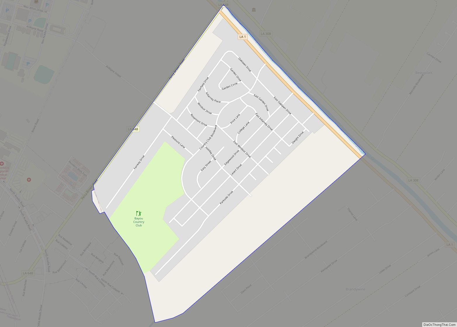
Thibodaux Road Map
Thibodaux city Satellite Map
Geography
According to the United States Census Bureau, the city has a total area of 5.47 square miles (14.2 km), all land.
Climate
See also
Map of Louisiana State and its subdivision:- Acadia
- Allen
- Ascension
- Assumption
- Avoyelles
- Beauregard
- Bienville
- Bossier
- Caddo
- Calcasieu
- Caldwell
- Cameron
- Catahoula
- Claiborne
- Concordia
- De Soto
- East Baton Rouge
- East Carroll
- East Feliciana
- Evangeline
- Franklin
- Grant
- Iberia
- Iberville
- Jackson
- Jefferson
- Jefferson Davis
- La Salle
- Lafayette
- Lafourche
- Lincoln
- Livingston
- Madison
- Morehouse
- Natchitoches
- Orleans
- Ouachita
- Plaquemines
- Pointe Coupee
- Rapides
- Red River
- Richland
- Sabine
- Saint Bernard
- Saint Charles
- Saint Helena
- Saint James
- Saint John the Baptist
- Saint Landry
- Saint Martin
- Saint Mary
- Saint Tammany
- Tangipahoa
- Tensas
- Terrebonne
- Union
- Vermilion
- Vernon
- Washington
- Webster
- West Baton Rouge
- West Carroll
- West Feliciana
- Winn
- Alabama
- Alaska
- Arizona
- Arkansas
- California
- Colorado
- Connecticut
- Delaware
- District of Columbia
- Florida
- Georgia
- Hawaii
- Idaho
- Illinois
- Indiana
- Iowa
- Kansas
- Kentucky
- Louisiana
- Maine
- Maryland
- Massachusetts
- Michigan
- Minnesota
- Mississippi
- Missouri
- Montana
- Nebraska
- Nevada
- New Hampshire
- New Jersey
- New Mexico
- New York
- North Carolina
- North Dakota
- Ohio
- Oklahoma
- Oregon
- Pennsylvania
- Rhode Island
- South Carolina
- South Dakota
- Tennessee
- Texas
- Utah
- Vermont
- Virginia
- Washington
- West Virginia
- Wisconsin
- Wyoming
