White Castle is a town in Iberville Parish, Louisiana, United States. At the 2010 U.S. census the town population was 1,883, and 1,640 at the 2020 population estimates program. It is part of the Baton Rouge metropolitan area.
| Name: | White Castle town |
|---|---|
| LSAD Code: | 43 |
| LSAD Description: | town (suffix) |
| State: | Louisiana |
| County: | Iberville Parish |
| Elevation: | 23 ft (7 m) |
| Total Area: | 0.74 sq mi (1.91 km²) |
| Land Area: | 0.73 sq mi (1.90 km²) |
| Water Area: | 0.00 sq mi (0.01 km²) |
| Total Population: | 1,722 |
| Population Density: | 2,349.25/sq mi (907.21/km²) |
| Area code: | 225 |
| FIPS code: | 2281375 |
| Website: | towcla.com |
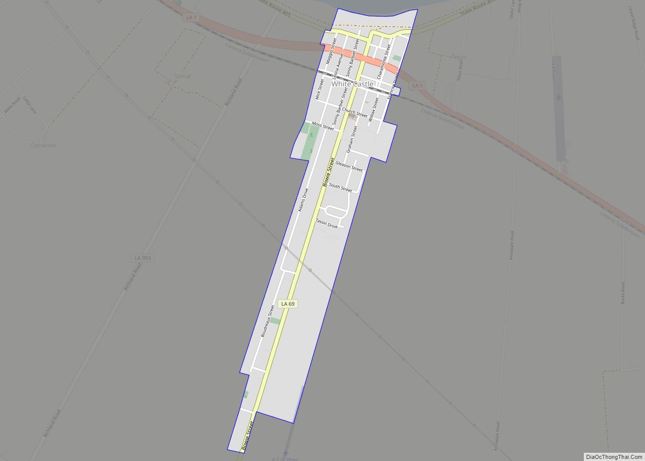
Online Interactive Map
Click on ![]() to view map in "full screen" mode.
to view map in "full screen" mode.
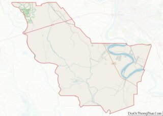
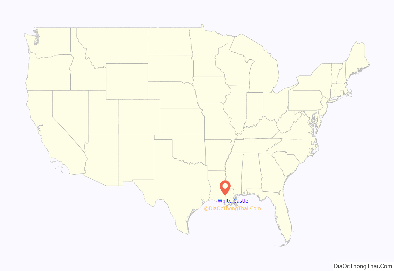
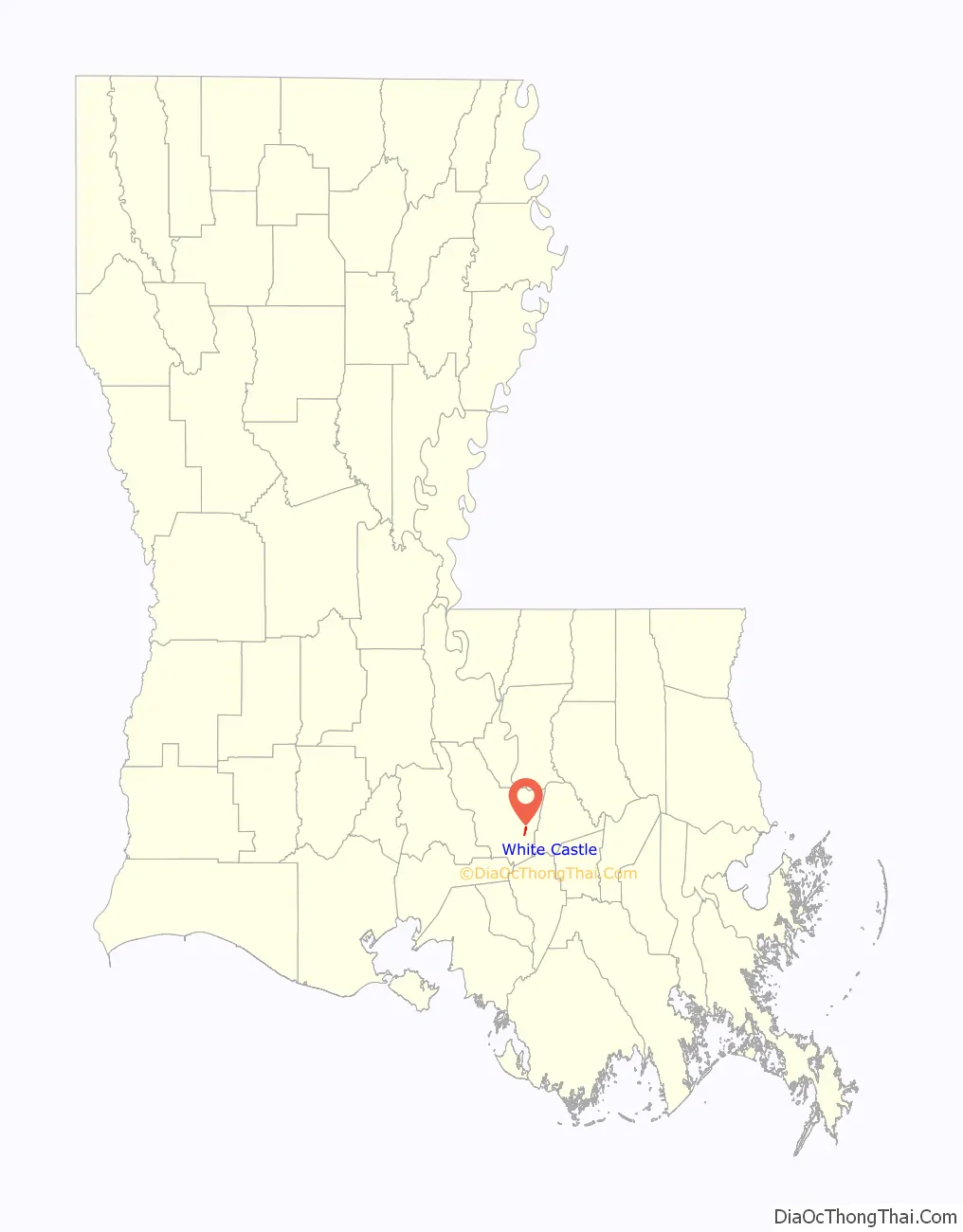
White Castle location map. Where is White Castle town?
History
The town of White Castle was carved out of the George Wailes plantation “White Castle”. The 1883 Charles H. Dickinson Survey of several parishes of Louisiana shows the White Castle Plantation property. Nearby is the antebellum mansion Nottoway Plantation.
White Castle was established as a town in the 1880s with the influx of people and business brought by the logging industry in the cypress swamps of the area. When the cypress wood was depleted, the main economic activity reverted to the sugar cane industry which had been established in the latter part of the 18th century.
Individual plantation sugar mills gave way to larger mills servicing many plantations. By 1970, White Castle had three major sugar mills, Cora Texas, Cedar Grove, and Catherine/Supples. Only one, Cora Texas located just south of White Castle on LA 1, is still in operation. Antebellum plantation homes in the area are Nottoway, Tally-ho, among others.
People living in the unincorporated areas of Samstown, Lone Star, Belle Grove, Dorseyville, and as far away as Bayou Goula helped support White Castle businesses through the years. At one time, there were three car dealerships, Dufour Chevrolet, White Castle Motor company (Ford), and Dixie Sales and Service(Chrysler/Plymouth); three drug stores, Hebert’s, Viallon’s, and Bajon’s; Weils and Shaheens clothing stores; Agosta Shoe Store; Eskine’s Jewelry; and two lumber yards, Baudoin’s and Tassin’s. Engolio’s Maggio’s, Chiaramonte, Dominic Sciortino, Tina’s, Forte’s, and Landry’s were used for grocery shopping. Big-screen entertainment was provided by Castle Theater until 1959, when it was closed.
During the 1950s, the chemical industry entered the area, congregating around the Mississippi River between Baton Rouge and New Orleans. This industry brought economic growth which took White Castle into the 1980s. Companies establishing chemical plants in the area near White Castle were Dow Chemical north of Plaquemine, Georgia-Gulf and Hercules north of White Castle, and Ciba-Geigy on the east bank of the Mississippi.
Population levels have remained between 1,900 and 2,200 for the last forty years, within the White Castle town limits. The surrounding unincorporated areas have seen an increase in population.
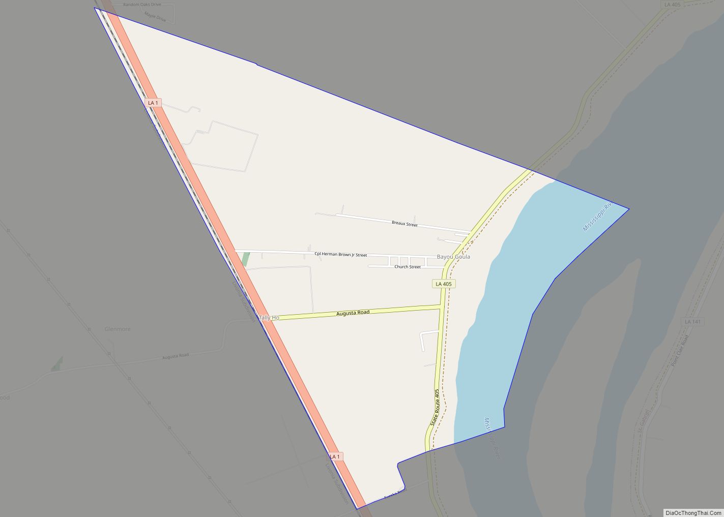
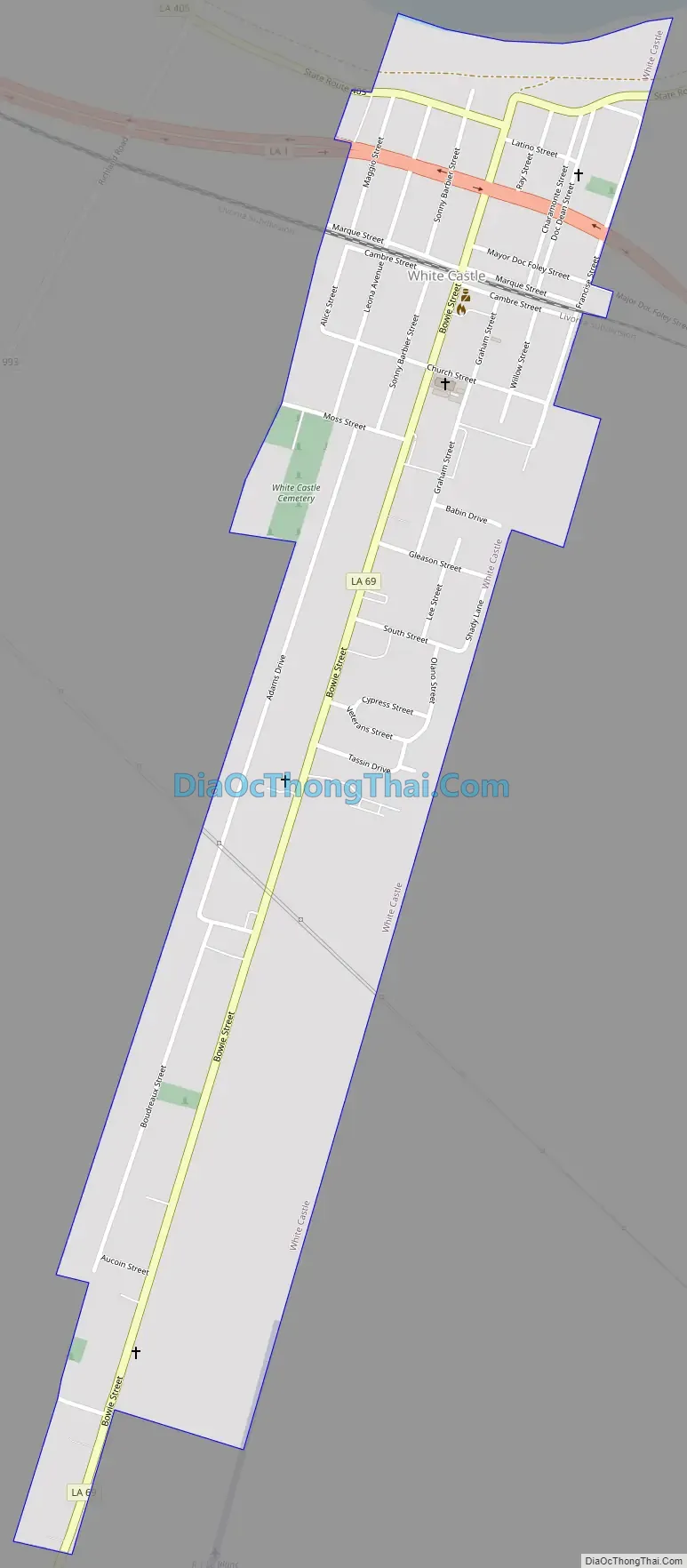
White Castle Road Map
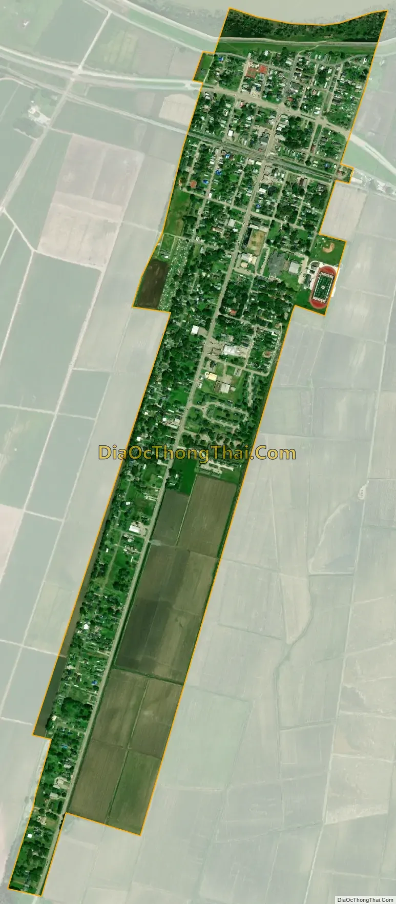
White Castle city Satellite Map
Geography
White Castle is located in southeastern Iberville Parish at 30°10′7″N 91°8′48″W / 30.16861°N 91.14667°W / 30.16861; -91.14667 (30.168503, −91.146708), on the south bank of the Mississippi River. Louisiana Highway 1 passes through the town, leading northwest 10 miles (16 km) to Plaquemine, the Iberville Parish seat and southeast the same distance to Donaldsonville, the seat of Ascension Parish.
According to the United States Census Bureau, the town of White Castle has a total area of 0.73 square miles (1.9 km), of which 1.9 acres (7,876 m), or 0.41%, are water.
See also
Map of Louisiana State and its subdivision:- Acadia
- Allen
- Ascension
- Assumption
- Avoyelles
- Beauregard
- Bienville
- Bossier
- Caddo
- Calcasieu
- Caldwell
- Cameron
- Catahoula
- Claiborne
- Concordia
- De Soto
- East Baton Rouge
- East Carroll
- East Feliciana
- Evangeline
- Franklin
- Grant
- Iberia
- Iberville
- Jackson
- Jefferson
- Jefferson Davis
- La Salle
- Lafayette
- Lafourche
- Lincoln
- Livingston
- Madison
- Morehouse
- Natchitoches
- Orleans
- Ouachita
- Plaquemines
- Pointe Coupee
- Rapides
- Red River
- Richland
- Sabine
- Saint Bernard
- Saint Charles
- Saint Helena
- Saint James
- Saint John the Baptist
- Saint Landry
- Saint Martin
- Saint Mary
- Saint Tammany
- Tangipahoa
- Tensas
- Terrebonne
- Union
- Vermilion
- Vernon
- Washington
- Webster
- West Baton Rouge
- West Carroll
- West Feliciana
- Winn
- Alabama
- Alaska
- Arizona
- Arkansas
- California
- Colorado
- Connecticut
- Delaware
- District of Columbia
- Florida
- Georgia
- Hawaii
- Idaho
- Illinois
- Indiana
- Iowa
- Kansas
- Kentucky
- Louisiana
- Maine
- Maryland
- Massachusetts
- Michigan
- Minnesota
- Mississippi
- Missouri
- Montana
- Nebraska
- Nevada
- New Hampshire
- New Jersey
- New Mexico
- New York
- North Carolina
- North Dakota
- Ohio
- Oklahoma
- Oregon
- Pennsylvania
- Rhode Island
- South Carolina
- South Dakota
- Tennessee
- Texas
- Utah
- Vermont
- Virginia
- Washington
- West Virginia
- Wisconsin
- Wyoming