Wisner is a town in Franklin Parish, Louisiana, United States. The population was 964 at the 2010 census, down from 1,140 in 2000.
| Name: | Wisner town |
|---|---|
| LSAD Code: | 43 |
| LSAD Description: | town (suffix) |
| State: | Louisiana |
| County: | Franklin Parish |
| Elevation: | 75 ft (23 m) |
| Total Area: | 0.80 sq mi (2.06 km²) |
| Land Area: | 0.80 sq mi (2.06 km²) |
| Water Area: | 0.00 sq mi (0.00 km²) |
| Total Population: | 771 |
| Population Density: | 968.59/sq mi (373.85/km²) |
| Area code: | 318 |
| FIPS code: | 2282565 |
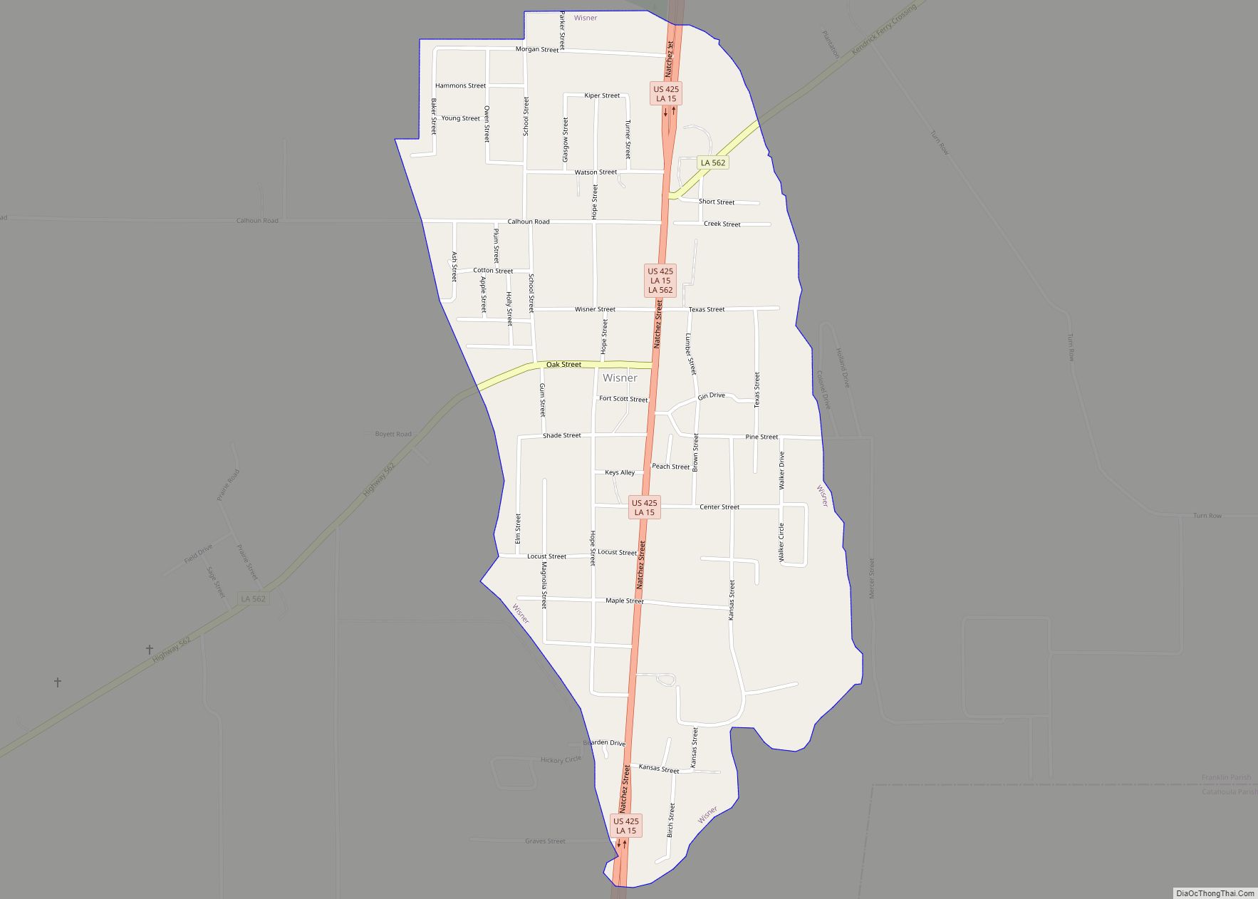
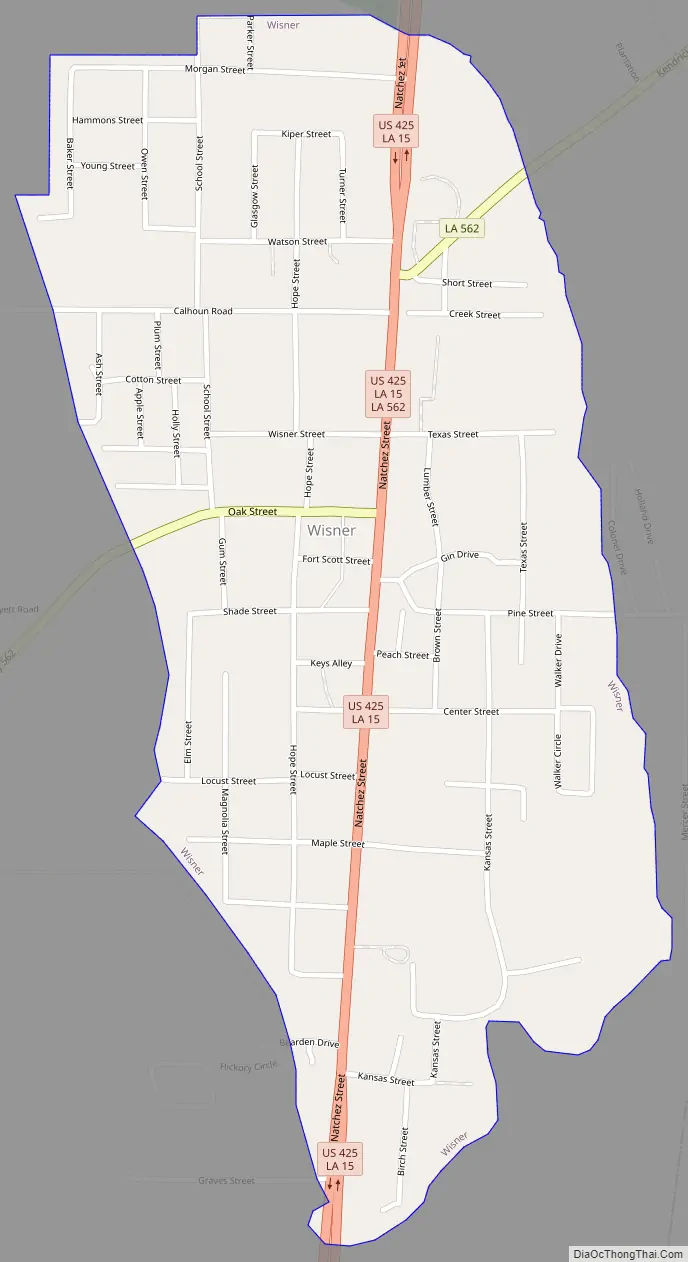
Online Interactive Map
Click on ![]() to view map in "full screen" mode.
to view map in "full screen" mode.
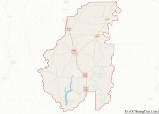
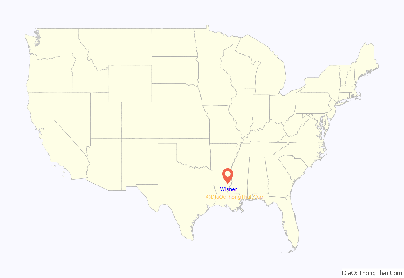
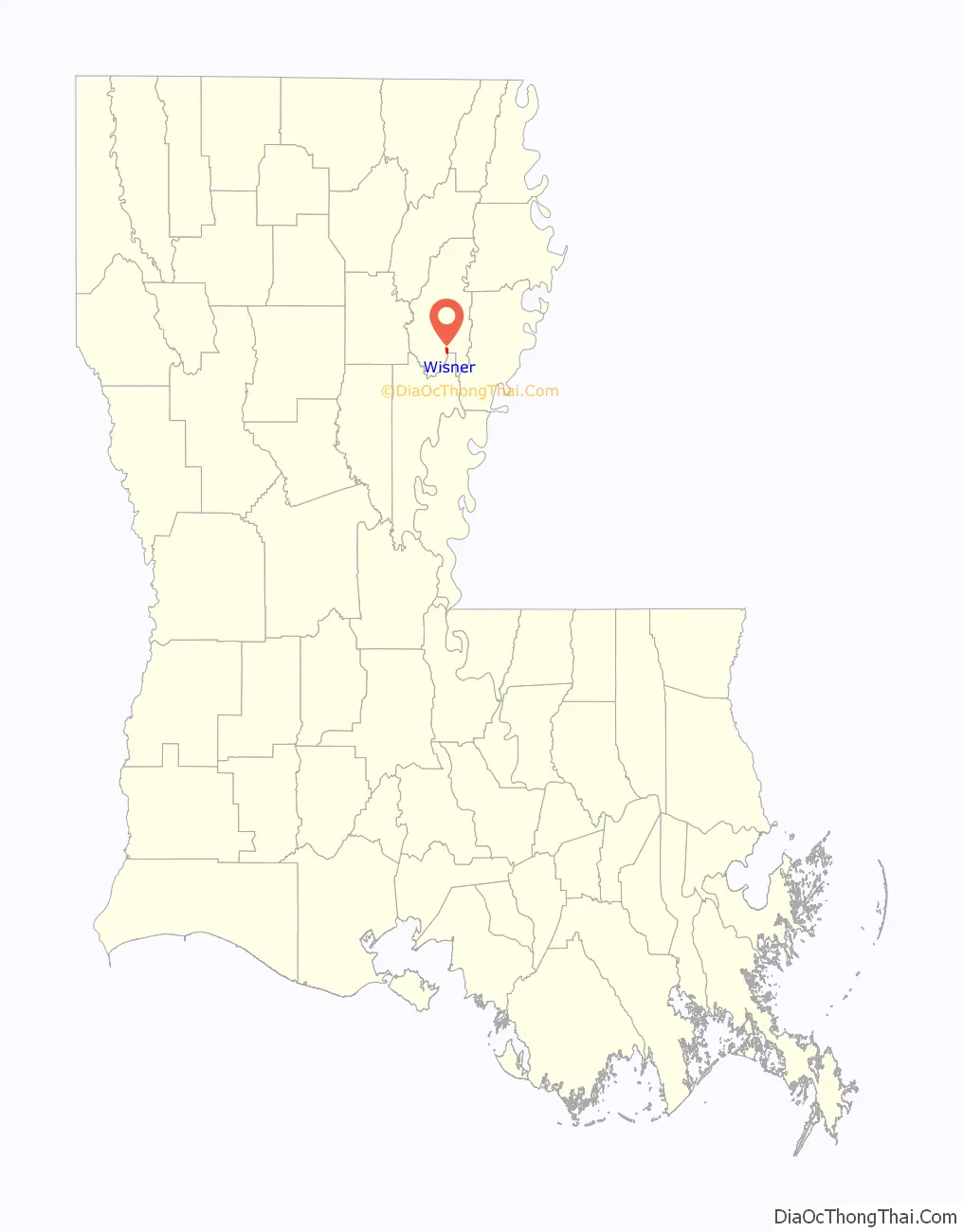
Wisner location map. Where is Wisner town?
History
Wisner was founded by Edward Wisner, a native of Athens, Michigan, whose family came from Switzerland and originally settled in Orange County, New York, in the early 1700s.
The Holly Grove Colored Baptist Church in Wisner was established in the post-slavery period after the Civil War through the work of pastor Eldridge King David Swayzer. One of Swayzer’s descendants, Frances Swayzer Conley, an English professor at Bossier Parish Community College in Bossier City and a resident of Shreveport, has written a pictorial family history entitled Home to Holly Grove: Cherishing Our Rich Heritage.
Wisner Road Map
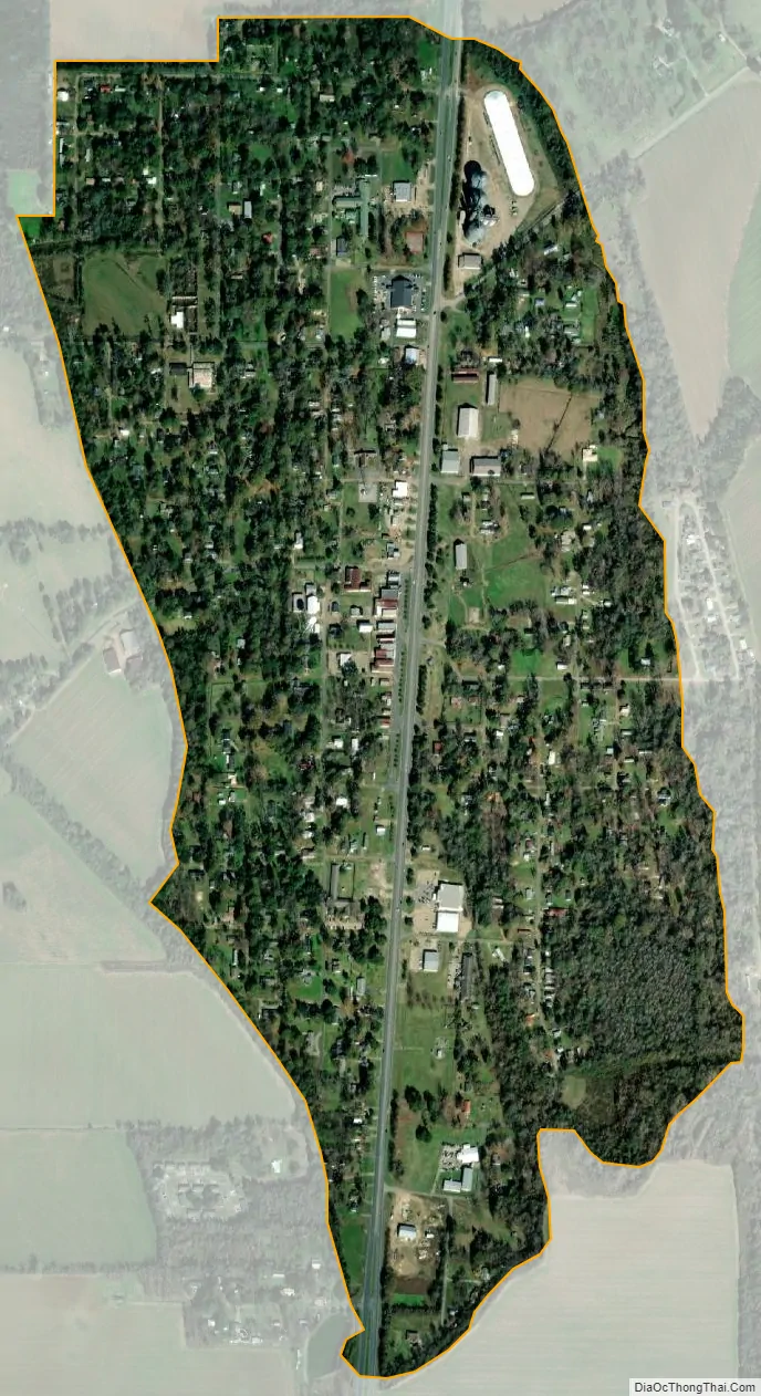
Wisner city Satellite Map
Geography
Wisner is located in southern Franklin Parish along U.S. Route 425, which leads north 14 miles (23 km) to Winnsboro, the parish seat, and south 9 miles (14 km) to Sicily Island.
According to the United States Census Bureau, the town of Wisner has a total area of 0.80 square miles (2.06 km), all land.
See also
Map of Louisiana State and its subdivision:- Acadia
- Allen
- Ascension
- Assumption
- Avoyelles
- Beauregard
- Bienville
- Bossier
- Caddo
- Calcasieu
- Caldwell
- Cameron
- Catahoula
- Claiborne
- Concordia
- De Soto
- East Baton Rouge
- East Carroll
- East Feliciana
- Evangeline
- Franklin
- Grant
- Iberia
- Iberville
- Jackson
- Jefferson
- Jefferson Davis
- La Salle
- Lafayette
- Lafourche
- Lincoln
- Livingston
- Madison
- Morehouse
- Natchitoches
- Orleans
- Ouachita
- Plaquemines
- Pointe Coupee
- Rapides
- Red River
- Richland
- Sabine
- Saint Bernard
- Saint Charles
- Saint Helena
- Saint James
- Saint John the Baptist
- Saint Landry
- Saint Martin
- Saint Mary
- Saint Tammany
- Tangipahoa
- Tensas
- Terrebonne
- Union
- Vermilion
- Vernon
- Washington
- Webster
- West Baton Rouge
- West Carroll
- West Feliciana
- Winn
- Alabama
- Alaska
- Arizona
- Arkansas
- California
- Colorado
- Connecticut
- Delaware
- District of Columbia
- Florida
- Georgia
- Hawaii
- Idaho
- Illinois
- Indiana
- Iowa
- Kansas
- Kentucky
- Louisiana
- Maine
- Maryland
- Massachusetts
- Michigan
- Minnesota
- Mississippi
- Missouri
- Montana
- Nebraska
- Nevada
- New Hampshire
- New Jersey
- New Mexico
- New York
- North Carolina
- North Dakota
- Ohio
- Oklahoma
- Oregon
- Pennsylvania
- Rhode Island
- South Carolina
- South Dakota
- Tennessee
- Texas
- Utah
- Vermont
- Virginia
- Washington
- West Virginia
- Wisconsin
- Wyoming