Baker is a city in and the county seat of Fallon County, Montana, United States. The population was 1,802 at the 2020 census.
It was named after A. G. Baker, an engineer with the Chicago, Milwaukee, St. Paul and Pacific Railroad.
| Name: | Baker city |
|---|---|
| LSAD Code: | 25 |
| LSAD Description: | city (suffix) |
| State: | Montana |
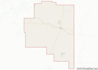
| County: | Fallon County |
| Elevation: | 2,920 ft (890 m) |
| Total Area: | 1.23 sq mi (3.18 km²) |
| Land Area: | 1.13 sq mi (2.93 km²) |
| Water Area: | 0.10 sq mi (0.26 km²) |
| Total Population: | 1,802 |
| Population Density: | 1,594.69/sq mi (615.96/km²) |
| ZIP code: | 59313, 59354 |
| Area code: | 406 |
| FIPS code: | 3003475 |
| GNISfeature ID: | 0802008 |
| Website: | https://www.bakermontana.us/ |
Online Interactive Map
Click on ![]() to view map in "full screen" mode.
to view map in "full screen" mode.
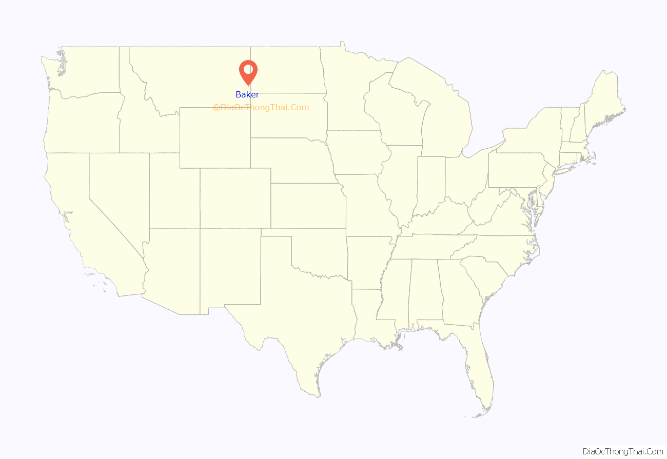
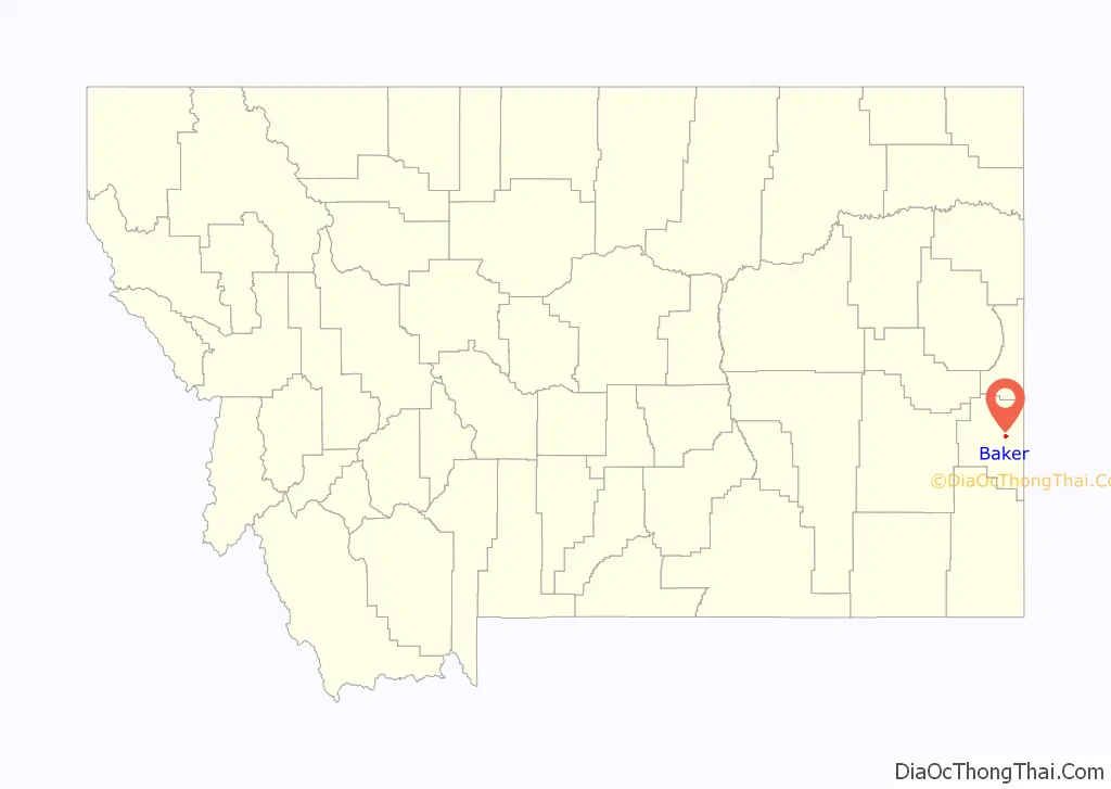
Baker location map. Where is Baker city?
History
Baker was built along the transcontinental rail line of the Milwaukee Road near where the railroad created a lake to supply water to its steam locomotives. The city was known as Lorraine for a brief time before being renamed in honor of Milwaukee Road engineer A.G. Baker. A successful Milwaukee Land Company campaign to attract homesteaders to the area allowed the city to grow and serve a large community of dryland farmers. Additional growth occurred following the 1912 discovery of oil and natural gas deposits nearby.
In 2014, Baker was described as “a busy, noisy, traffic-jammed, bursting-at-the-seams boomtown on the edge of the oil fields.” On June 11, 2016 an EF-3 Tornado struck Baker destroying several houses and damaging dozens more, killing multiple horses in the area and injuring six people.
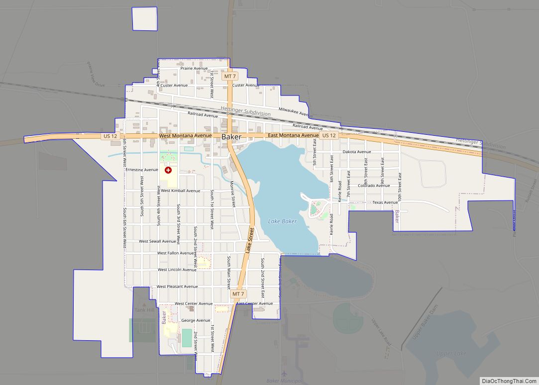
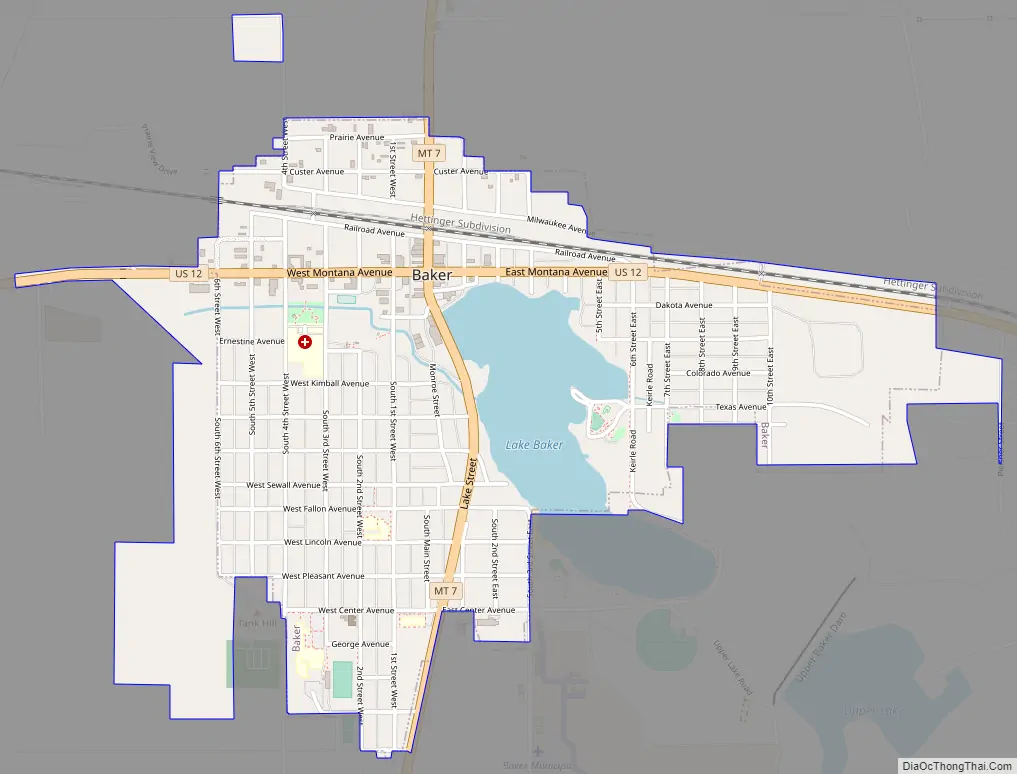
Baker Road Map
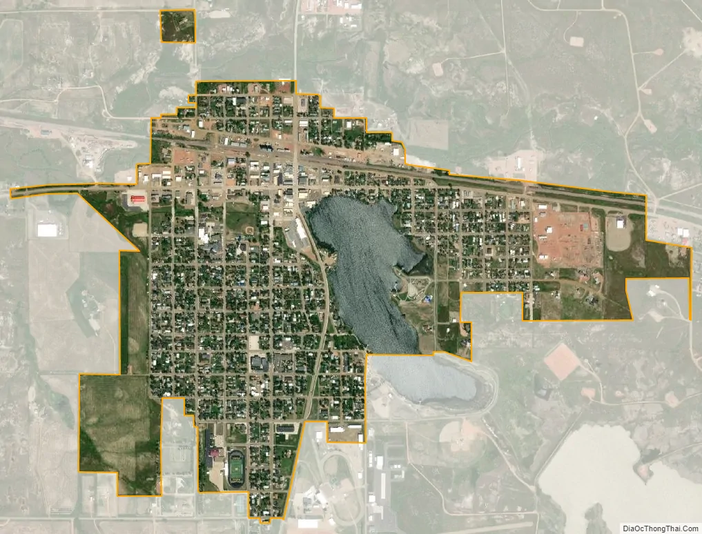
Baker city Satellite Map
Geography
Baker is located at 46°21′53″N 104°16′30″W / 46.36472°N 104.27500°W / 46.36472; -104.27500 (46.364817, −104.275089). U.S. Route 12 passes through town.
According to the United States Census Bureau, the city has a total area of 1.07 square miles (2.77 km), of which 0.97 square miles (2.51 km) is land and 0.10 square miles (0.26 km) is water.
Sandstone rock is the predominant feature. Nearby Medicine Rocks State Park has many unusual sandstone rock formations.
See also
Map of Montana State and its subdivision:- Beaverhead
- Big Horn
- Blaine
- Broadwater
- Carbon
- Carter
- Cascade
- Chouteau
- Custer
- Daniels
- Dawson
- Deer Lodge
- Fallon
- Fergus
- Flathead
- Gallatin
- Garfield
- Glacier
- Golden Valley
- Granite
- Hill
- Jefferson
- Judith Basin
- Lake
- Lewis and Clark
- Liberty
- Lincoln
- Madison
- McCone
- Meagher
- Mineral
- Missoula
- Musselshell
- Park
- Petroleum
- Phillips
- Pondera
- Powder River
- Powell
- Prairie
- Ravalli
- Richland
- Roosevelt
- Rosebud
- Sanders
- Sheridan
- Silver Bow
- Stillwater
- Sweet Grass
- Teton
- Toole
- Treasure
- Valley
- Wheatland
- Wibaux
- Yellowstone
- Alabama
- Alaska
- Arizona
- Arkansas
- California
- Colorado
- Connecticut
- Delaware
- District of Columbia
- Florida
- Georgia
- Hawaii
- Idaho
- Illinois
- Indiana
- Iowa
- Kansas
- Kentucky
- Louisiana
- Maine
- Maryland
- Massachusetts
- Michigan
- Minnesota
- Mississippi
- Missouri
- Montana
- Nebraska
- Nevada
- New Hampshire
- New Jersey
- New Mexico
- New York
- North Carolina
- North Dakota
- Ohio
- Oklahoma
- Oregon
- Pennsylvania
- Rhode Island
- South Carolina
- South Dakota
- Tennessee
- Texas
- Utah
- Vermont
- Virginia
- Washington
- West Virginia
- Wisconsin
- Wyoming