Belgrade is a city in Gallatin County, Montana, United States. The population was 10,460 at the 2020 census. It is the largest city in Montana that is not a county seat.
Belgrade and surrounding areas are experiencing significant population growth. The 59714 ZIP Code that includes the city and surrounding commercial and residential developments had an estimated population of 22,560 as of 2020.
The original townsite of Belgrade was established in 1883 when the Northern Pacific Railroad was constructed through the Gallatin Valley. The original town plat was filed in the Gallatin County Clerk and Recorder’s Office by Thomas B. Quaw, a businessman from the midwest, in July 1891. According to Quaw, the townsite was an unmanned railroad siding 9.7 miles west of Bozeman, and was named Belgrade after the capital of Serbia, as an expression of appreciation to the Serbian investors who helped finance a portion of the Northern Pacific Railroad. Quaw and William O. Tracy created the Belgrade Grain and Produce Company and marketed Belgrade as the “Princess of the Prairies.” Belgrade is part of the Bozeman, MT Micropolitan Statistical Area.
The post office was established in 1887 with Quaw as postmaster. Belgrade was incorporated in 1906.
Bozeman Yellowstone International Airport is located adjacent to the city boundaries.
| Name: | Belgrade city |
|---|---|
| LSAD Code: | 25 |
| LSAD Description: | city (suffix) |
| State: | Montana |
| County: | Gallatin County |
| Elevation: | 4,459 ft (1,359 m) |
| Total Area: | 4.31 sq mi (11.17 km²) |
| Land Area: | 4.31 sq mi (11.17 km²) |
| Water Area: | 0.00 sq mi (0.00 km²) |
| Total Population: | 10,460 |
| Population Density: | 2,425.23/sq mi (936.46/km²) |
| ZIP code: | 59714 |
| Area code: | 406 |
| FIPS code: | 3004975 |
| GNISfeature ID: | 0768673 |
| Website: | www.ci.belgrade.mt.us |
Online Interactive Map
Click on ![]() to view map in "full screen" mode.
to view map in "full screen" mode.
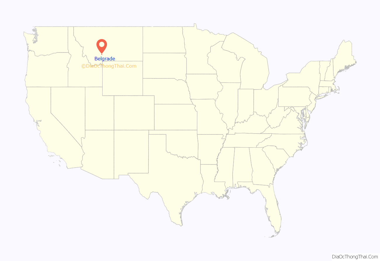
Belgrade location map. Where is Belgrade city?
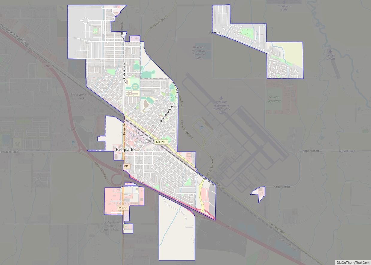
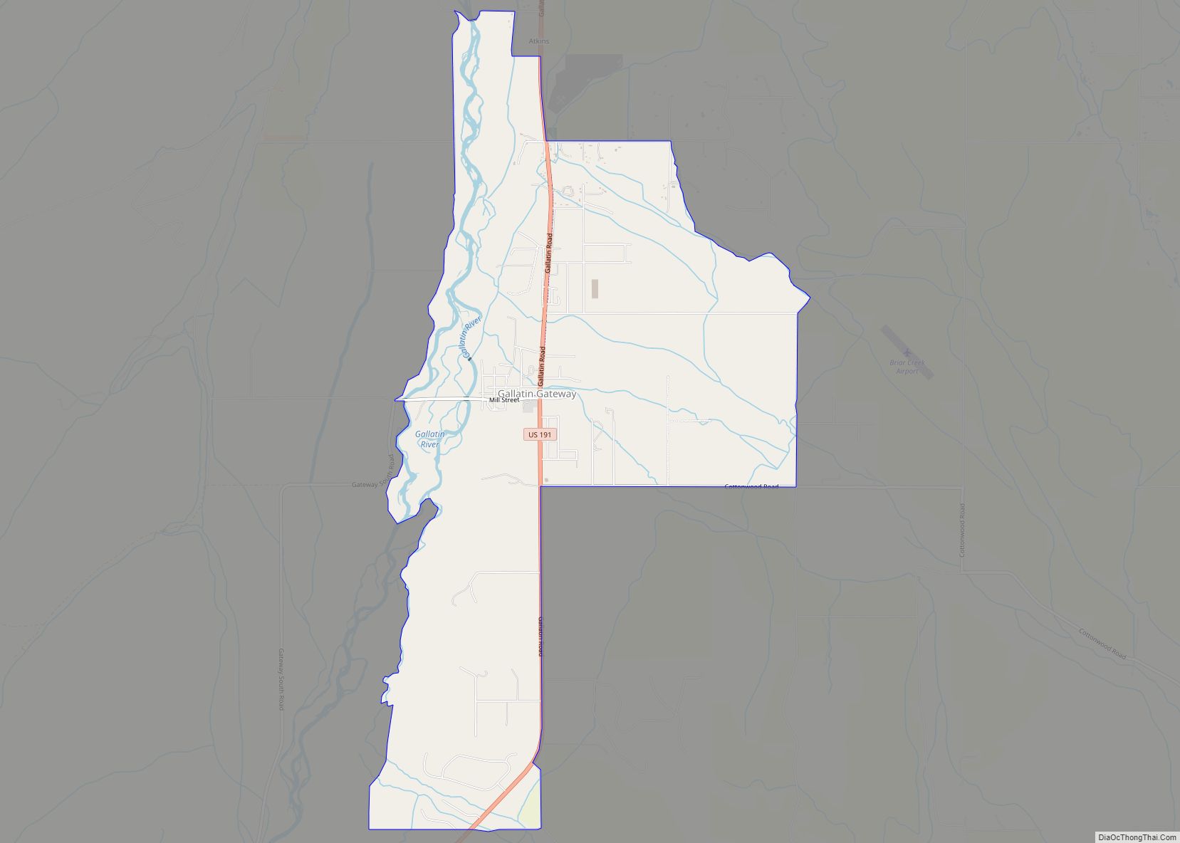
Belgrade Road Map
Belgrade city Satellite Map
Geography
Belgrade is located at 45°47′N 111°11′W / 45.783°N 111.183°W / 45.783; -111.183 (45.7785, -111.1790).
According to the United States Census Bureau, the city has a total area of 3.99 square miles (10.33 km), all land.
See also
Map of Montana State and its subdivision:- Beaverhead
- Big Horn
- Blaine
- Broadwater
- Carbon
- Carter
- Cascade
- Chouteau
- Custer
- Daniels
- Dawson
- Deer Lodge
- Fallon
- Fergus
- Flathead
- Gallatin
- Garfield
- Glacier
- Golden Valley
- Granite
- Hill
- Jefferson
- Judith Basin
- Lake
- Lewis and Clark
- Liberty
- Lincoln
- Madison
- McCone
- Meagher
- Mineral
- Missoula
- Musselshell
- Park
- Petroleum
- Phillips
- Pondera
- Powder River
- Powell
- Prairie
- Ravalli
- Richland
- Roosevelt
- Rosebud
- Sanders
- Sheridan
- Silver Bow
- Stillwater
- Sweet Grass
- Teton
- Toole
- Treasure
- Valley
- Wheatland
- Wibaux
- Yellowstone
- Alabama
- Alaska
- Arizona
- Arkansas
- California
- Colorado
- Connecticut
- Delaware
- District of Columbia
- Florida
- Georgia
- Hawaii
- Idaho
- Illinois
- Indiana
- Iowa
- Kansas
- Kentucky
- Louisiana
- Maine
- Maryland
- Massachusetts
- Michigan
- Minnesota
- Mississippi
- Missouri
- Montana
- Nebraska
- Nevada
- New Hampshire
- New Jersey
- New Mexico
- New York
- North Carolina
- North Dakota
- Ohio
- Oklahoma
- Oregon
- Pennsylvania
- Rhode Island
- South Carolina
- South Dakota
- Tennessee
- Texas
- Utah
- Vermont
- Virginia
- Washington
- West Virginia
- Wisconsin
- Wyoming
