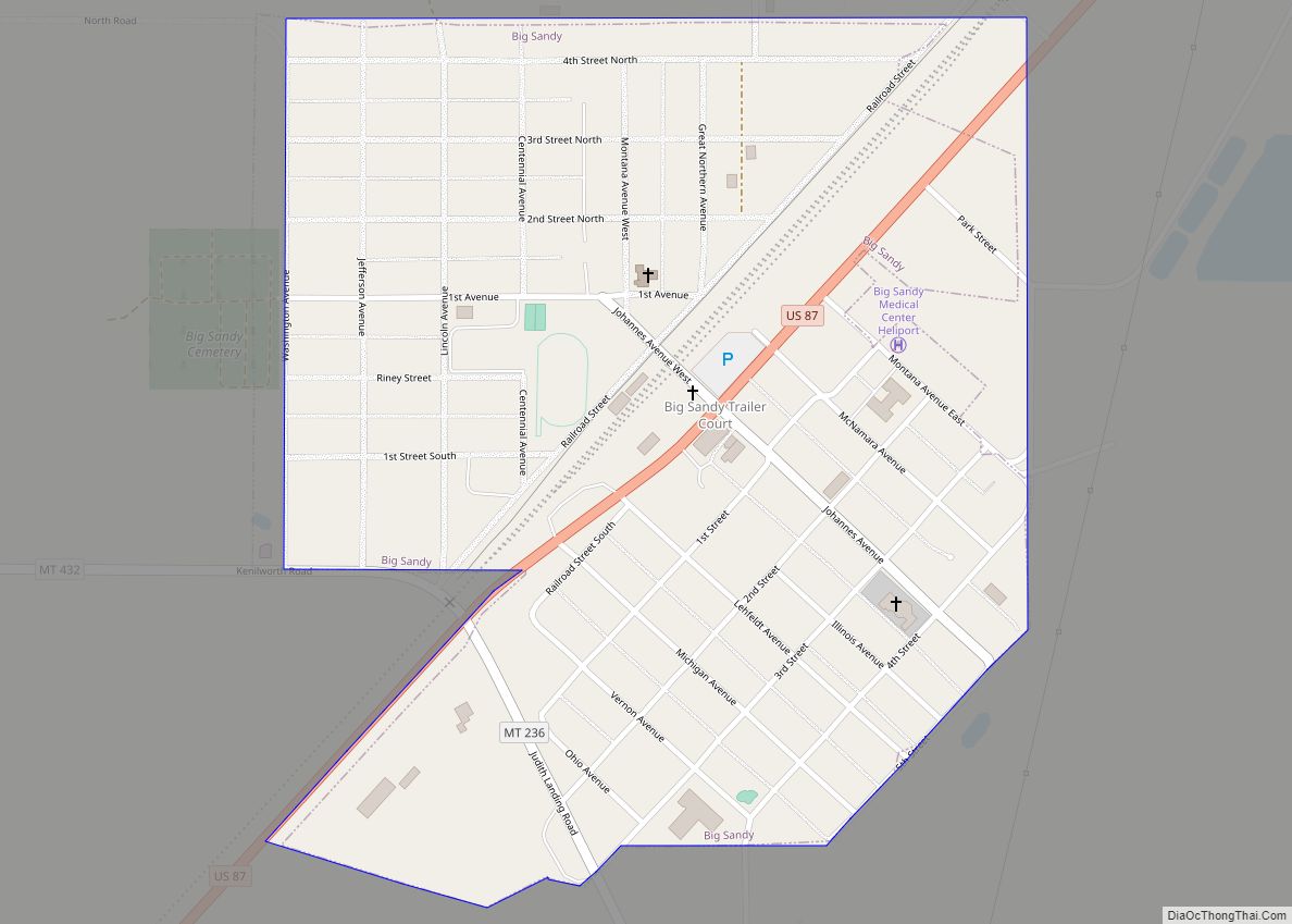
Big Sandy is a town in Chouteau County, Montana, United States. The population was 605 at the 2020 census. Big Bud 747, the largest farm tractor in the world, was located here from 1997 until 2009, and returned in 2020. The Lewis and Clark Trail, following U.S. Route 87, goes through Big Sandy and in 2011 the town was named in a list of “Most Livable Small Towns” by Montana Outdoors magazine. Big Sandy, Montana also was the home of Pearl Jam bassist Jeff Ament, who built Big Sandy a skatepark.
| Name: | Big Sandy town |
|---|---|
| LSAD Code: | 43 |
| LSAD Description: | town (suffix) |
| State: | Montana |
| County: | Chouteau County |
| Elevation: | 2,700 ft (823 m) |
| Total Area: | 0.48 sq mi (1.23 km²) |
| Land Area: | 0.48 sq mi (1.23 km²) |
| Water Area: | 0.00 sq mi (0.00 km²) |
| Total Population: | 605 |
| Population Density: | 1,268.34/sq mi (490.11/km²) |
| ZIP code: | 59520 |
| Area code: | 406 |
| FIPS code: | 3006250 |
| GNISfeature ID: | 0768824 |
| Website: | http://townofbigsandy.com/ |
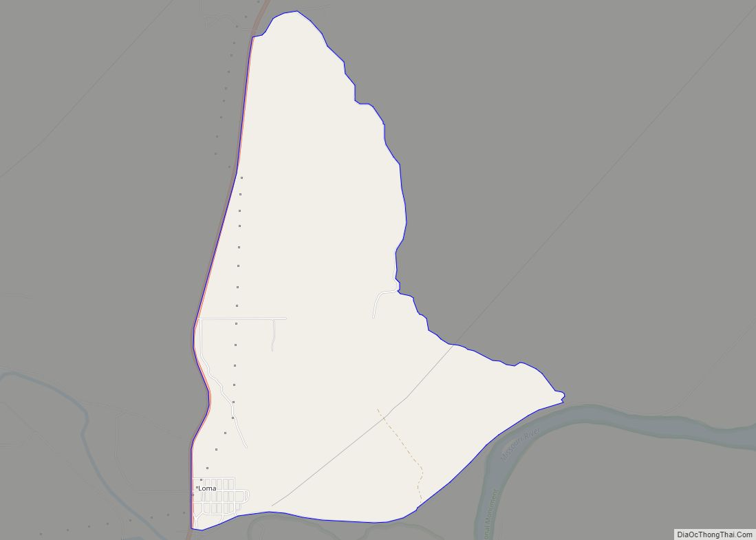
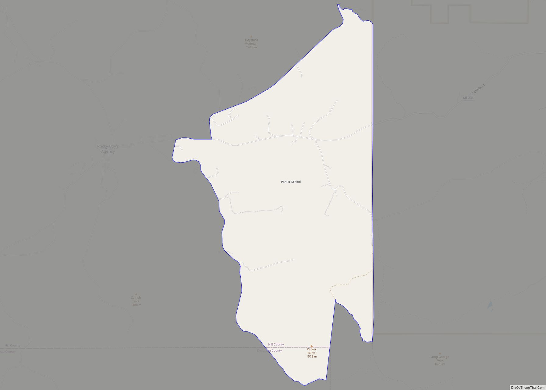
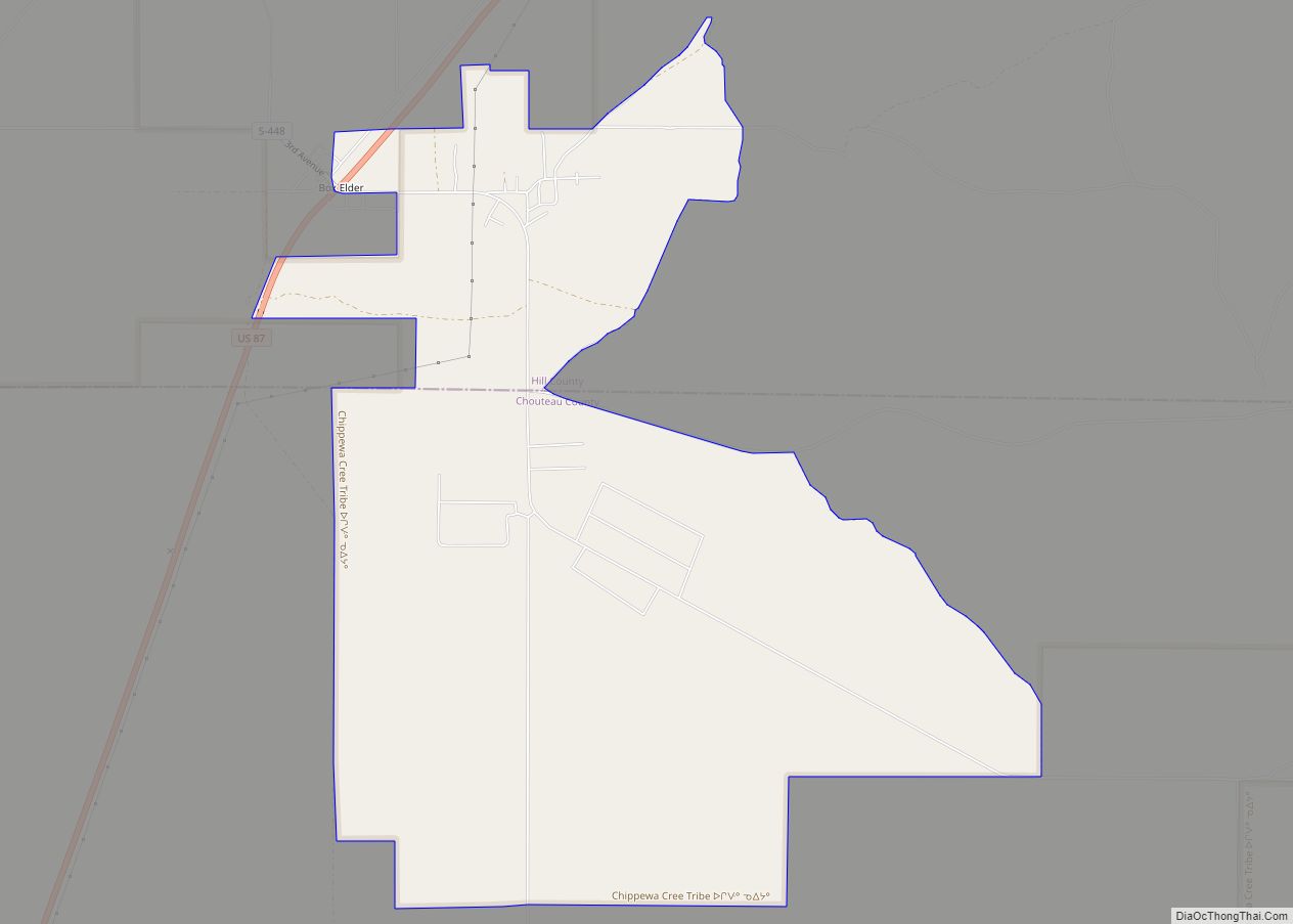
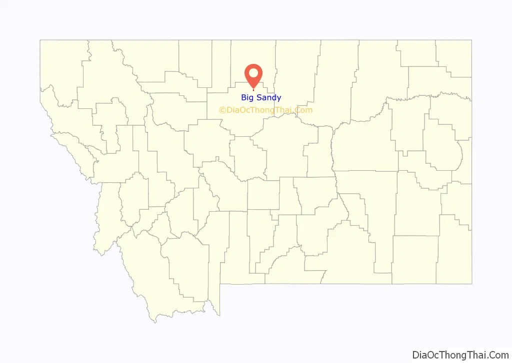
Online Interactive Map
Click on ![]() to view map in "full screen" mode.
to view map in "full screen" mode.
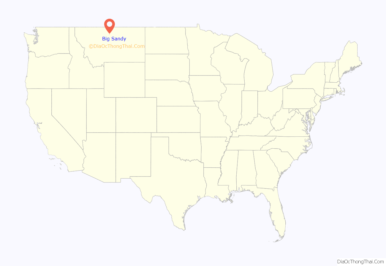
Big Sandy location map. Where is Big Sandy town?
History
At one time the site of a saloon that served Missouri River freighters, the community of Big Sandy is named for nearby Big Sandy Creek. The town began in 1887 with the arrival of the St. Paul, Minneapolis & Manitoba Railway (later the Great Northern Railway). By early 1900, Cornelius J. McNamara and Thomas A. Marlow, owners of the McNamara Cattle Company, had opened the town’s first store. Homesteaders began arriving in Big Sandy in 1909, and an influx continued for a decade. Several stories explain the creek’s name. The most colorful involves a muleskinner, “Big Sandy” Lane, who arrived one day near the present townsite and, to his dismay, discovered the creek at flood stage. He cursed the uncooperative weather, his bad luck, and the flooded creek crossing so fluently that the offending stream dried up immediately and he was able to cross. For decades Big Sandy’s primary landmark was the town water tower, which was visible for many miles. The water tower was dismantled in 1993. As of 2019 some local and former residents have banded together to establish a particularly charismatic and recurring puddle on Main Street (which has been dubbed, simply, “Puddle”) as a new and recognizable landmark of the municipality. Two of the higher profile natives of Big Sandy, Craig Edwards and Steve Sibra, are among those who actively promote “Puddle” as a body of water of consequence.
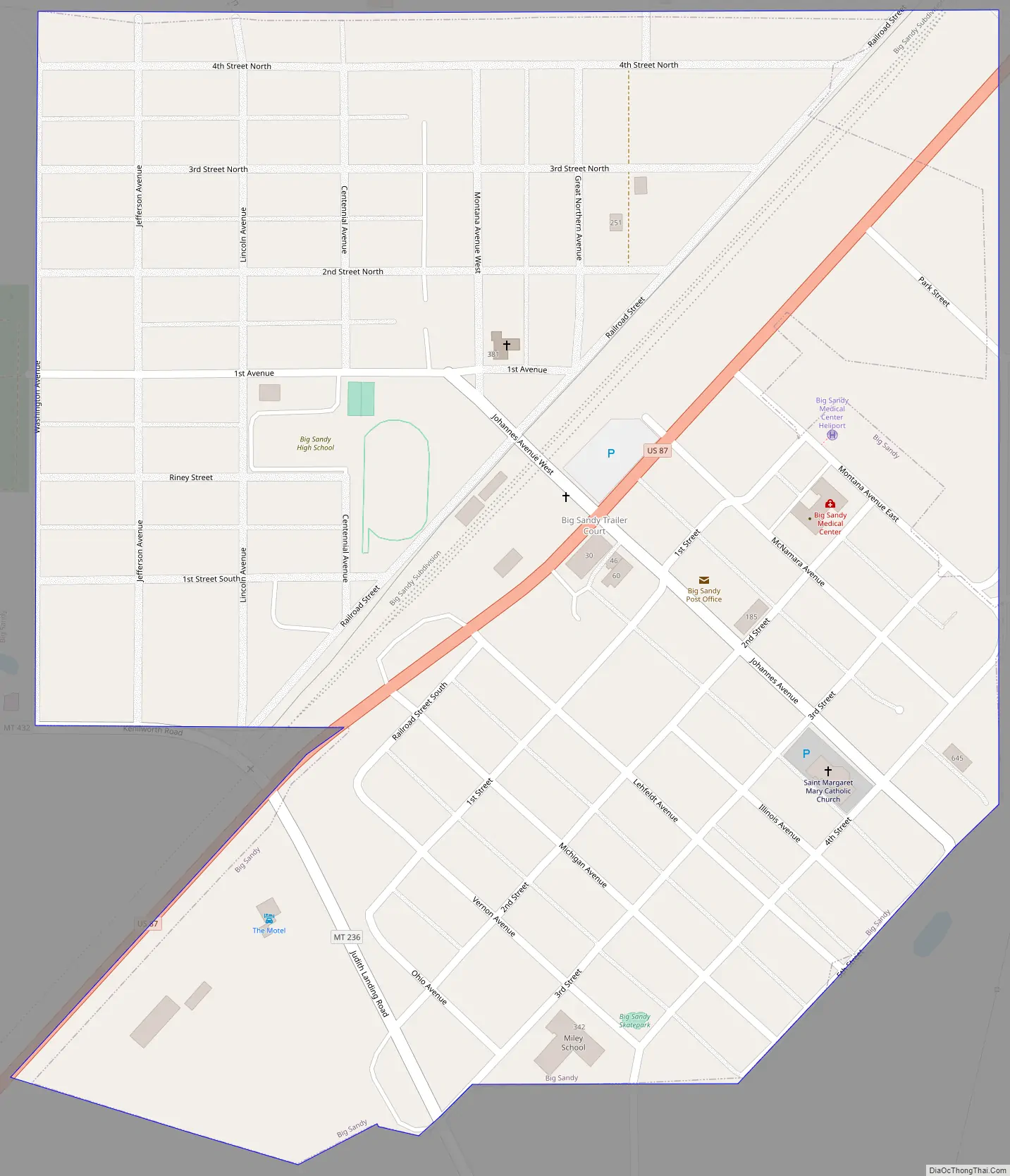
Big Sandy Road Map
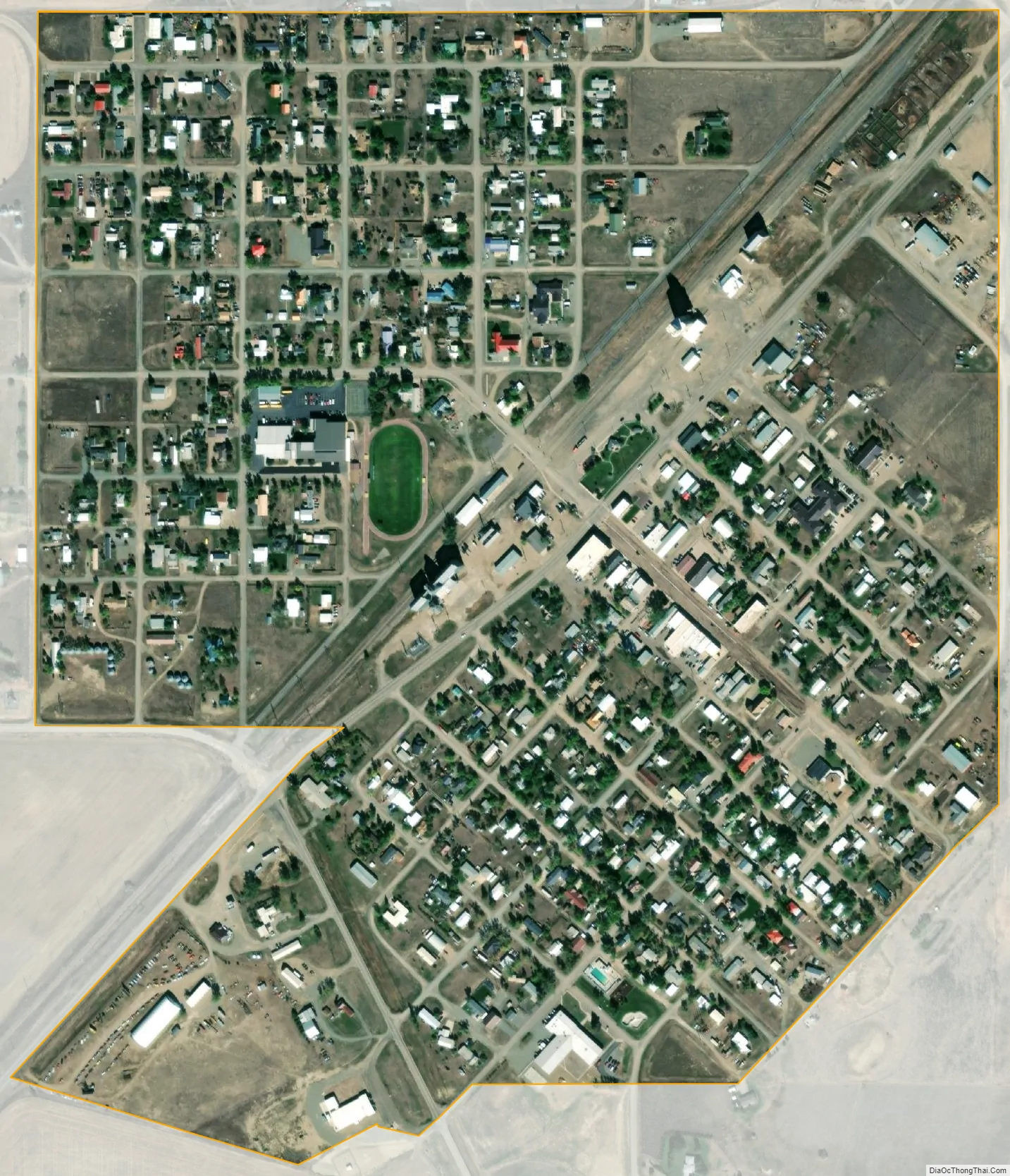
Big Sandy city Satellite Map
Geography
Big Sandy is located at 48°10′40″N 110°6′53″W / 48.17778°N 110.11472°W / 48.17778; -110.11472 (48.177872, -110.114630). U.S. Route 87 cuts through town.
According to the United States Census Bureau, the town has a total area of 0.48 square miles (1.24 km), all land.
Climate
According to the Köppen Climate Classification system, Big Sandy has a semi-arid climate, abbreviated “BSk” on climate maps.
See also
Map of Montana State and its subdivision:- Beaverhead
- Big Horn
- Blaine
- Broadwater
- Carbon
- Carter
- Cascade
- Chouteau
- Custer
- Daniels
- Dawson
- Deer Lodge
- Fallon
- Fergus
- Flathead
- Gallatin
- Garfield
- Glacier
- Golden Valley
- Granite
- Hill
- Jefferson
- Judith Basin
- Lake
- Lewis and Clark
- Liberty
- Lincoln
- Madison
- McCone
- Meagher
- Mineral
- Missoula
- Musselshell
- Park
- Petroleum
- Phillips
- Pondera
- Powder River
- Powell
- Prairie
- Ravalli
- Richland
- Roosevelt
- Rosebud
- Sanders
- Sheridan
- Silver Bow
- Stillwater
- Sweet Grass
- Teton
- Toole
- Treasure
- Valley
- Wheatland
- Wibaux
- Yellowstone
- Alabama
- Alaska
- Arizona
- Arkansas
- California
- Colorado
- Connecticut
- Delaware
- District of Columbia
- Florida
- Georgia
- Hawaii
- Idaho
- Illinois
- Indiana
- Iowa
- Kansas
- Kentucky
- Louisiana
- Maine
- Maryland
- Massachusetts
- Michigan
- Minnesota
- Mississippi
- Missouri
- Montana
- Nebraska
- Nevada
- New Hampshire
- New Jersey
- New Mexico
- New York
- North Carolina
- North Dakota
- Ohio
- Oklahoma
- Oregon
- Pennsylvania
- Rhode Island
- South Carolina
- South Dakota
- Tennessee
- Texas
- Utah
- Vermont
- Virginia
- Washington
- West Virginia
- Wisconsin
- Wyoming