Box Elder is an unincorporated community and census-designated place (CDP) in Hill County in the U.S. state of Montana. The population was 87 at the 2010 census. The population was 794 at the 2000 census, but before 2010 the Box Elder CDP was split into the current much-smaller Box Elder CDP, while most of the former CDP area went into the new Rocky Boy West CDP. Box Elder is the headquarters of the Chippewa-Cree tribe.
The post office was established in 1889. The town was first called “Bremer”, the name of an early homesteader. Eventually it was changed to “Box Elder”, for the nearby creek lined with box elder trees.
| Name: | Box Elder CDP |
|---|---|
| LSAD Code: | 57 |
| LSAD Description: | CDP (suffix) |
| State: | Montana |
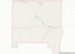
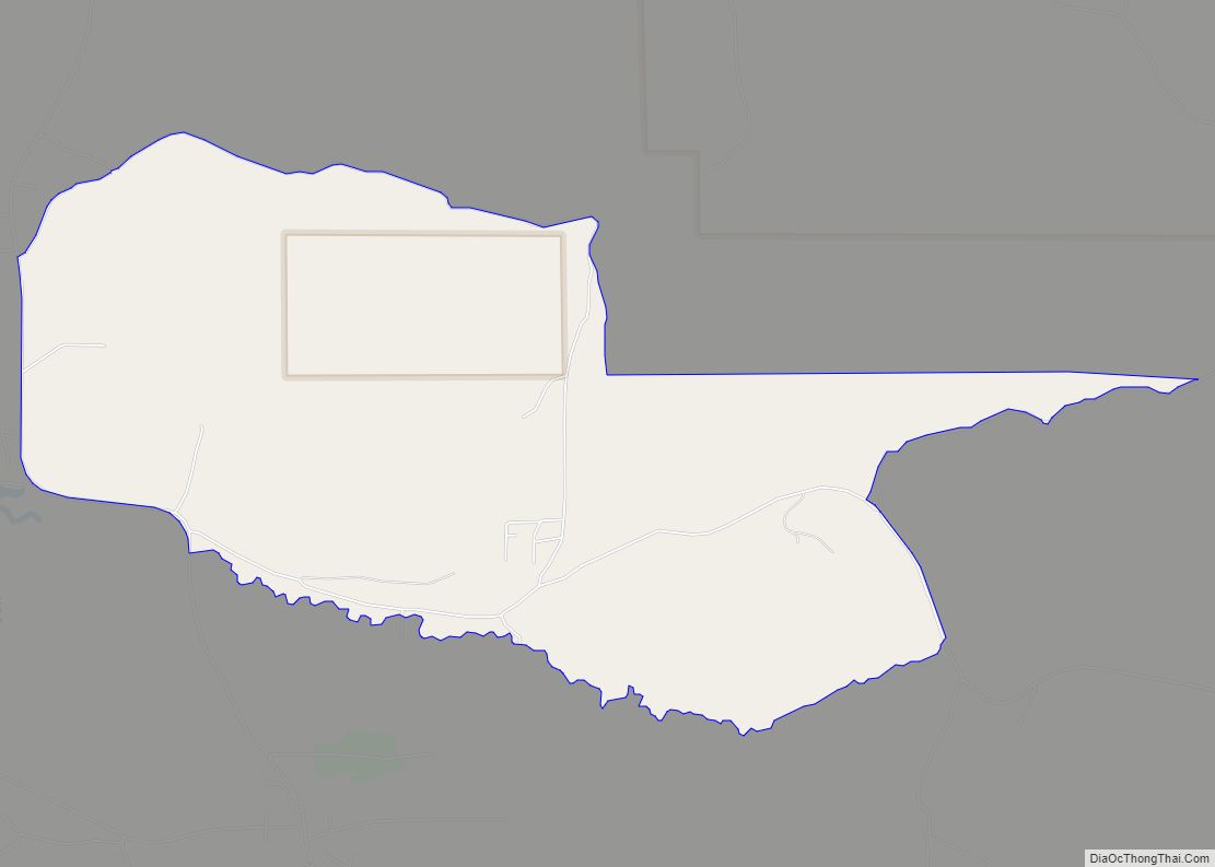
| County: | Hill County |
| Elevation: | 2,677 ft (816 m) |
| Total Area: | 0.79 sq mi (2.04 km²) |
| Land Area: | 0.79 sq mi (2.04 km²) |
| Water Area: | 0.00 sq mi (0.00 km²) |
| Total Population: | 85 |
| Population Density: | 108.14/sq mi (41.74/km²) |
| ZIP code: | 59521 |
| Area code: | 406 |
| FIPS code: | 3008725 |
| GNISfeature ID: | 0802050 |
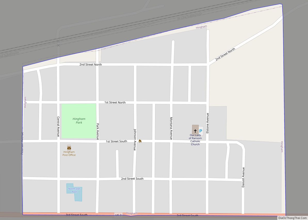
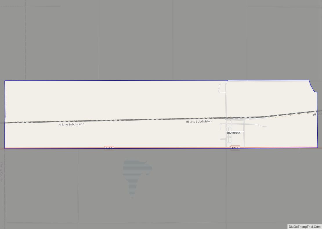
Online Interactive Map
Click on ![]() to view map in "full screen" mode.
to view map in "full screen" mode.
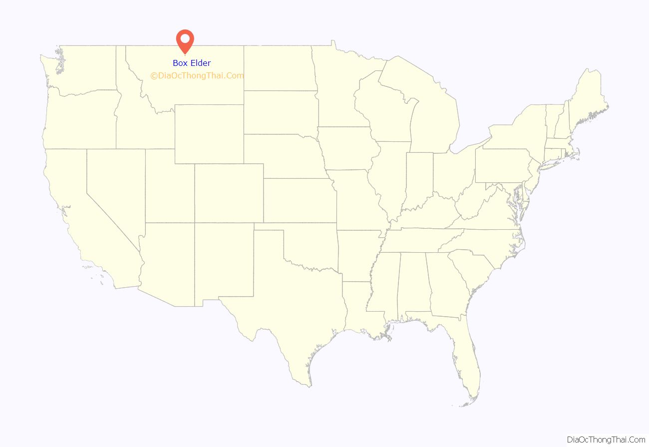
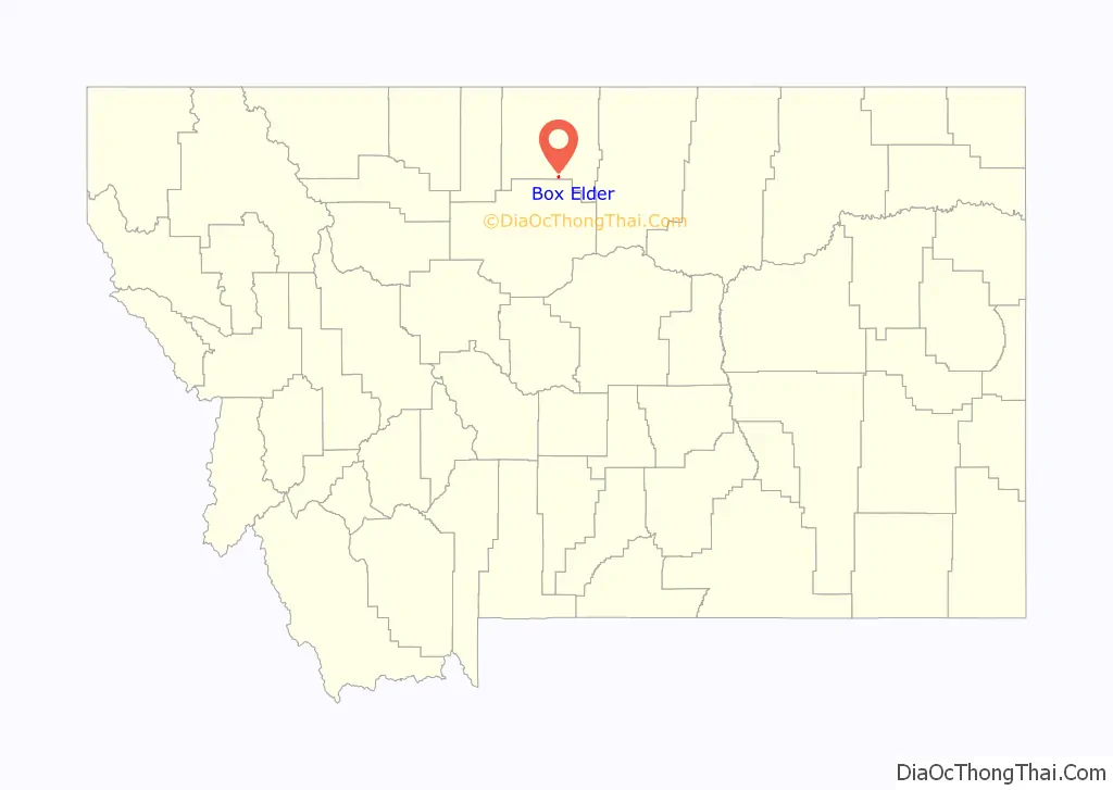
Box Elder location map. Where is Box Elder CDP?
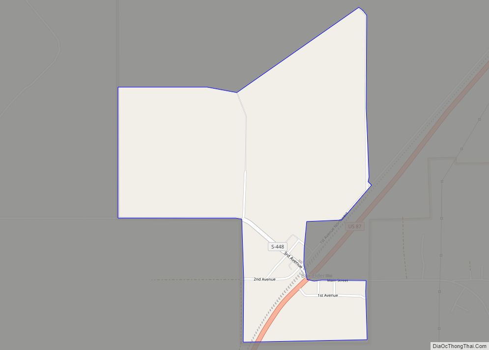
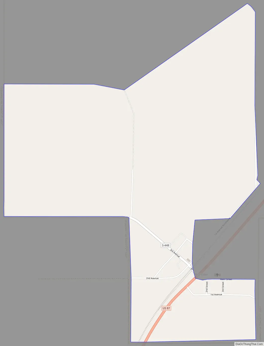
Box Elder Road Map
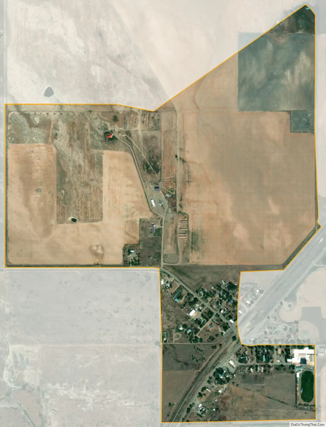
Box Elder city Satellite Map
Geography
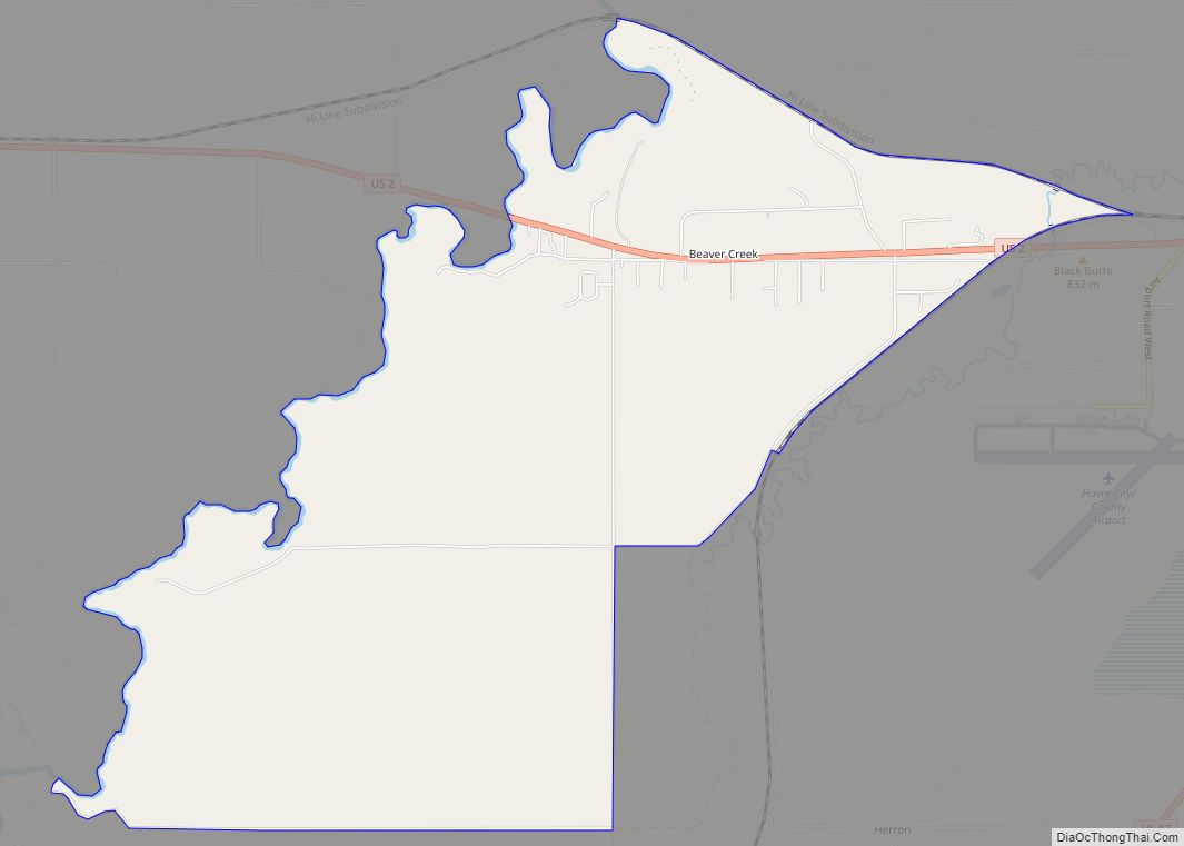
Box Elder is located near the southern border of Hill County at 48°18′26″N 110°0′10″W / 48.30722°N 110.00278°W / 48.30722; -110.00278 (48.307210, -110.002873). It is bordered to the south and east by the Rocky Boy West CDP. U.S. Route 87 passes through Box Elder, leading northeast 24 miles (39 km) to Havre, the Hill County seat, and southwest 10 miles (16 km) to Big Sandy.
According to the United States Census Bureau, the Box Elder CDP has a total area of 0.77 square miles (2.0 km), all land.
Climate
According to the Köppen Climate Classification system, Box Elder has a semi-arid climate, abbreviated “BSk” on climate maps.
See also
Map of Montana State and its subdivision:- Beaverhead
- Big Horn
- Blaine
- Broadwater
- Carbon
- Carter
- Cascade
- Chouteau
- Custer
- Daniels
- Dawson
- Deer Lodge
- Fallon
- Fergus
- Flathead
- Gallatin
- Garfield
- Glacier
- Golden Valley
- Granite
- Hill
- Jefferson
- Judith Basin
- Lake
- Lewis and Clark
- Liberty
- Lincoln
- Madison
- McCone
- Meagher
- Mineral
- Missoula
- Musselshell
- Park
- Petroleum
- Phillips
- Pondera
- Powder River
- Powell
- Prairie
- Ravalli
- Richland
- Roosevelt
- Rosebud
- Sanders
- Sheridan
- Silver Bow
- Stillwater
- Sweet Grass
- Teton
- Toole
- Treasure
- Valley
- Wheatland
- Wibaux
- Yellowstone
- Alabama
- Alaska
- Arizona
- Arkansas
- California
- Colorado
- Connecticut
- Delaware
- District of Columbia
- Florida
- Georgia
- Hawaii
- Idaho
- Illinois
- Indiana
- Iowa
- Kansas
- Kentucky
- Louisiana
- Maine
- Maryland
- Massachusetts
- Michigan
- Minnesota
- Mississippi
- Missouri
- Montana
- Nebraska
- Nevada
- New Hampshire
- New Jersey
- New Mexico
- New York
- North Carolina
- North Dakota
- Ohio
- Oklahoma
- Oregon
- Pennsylvania
- Rhode Island
- South Carolina
- South Dakota
- Tennessee
- Texas
- Utah
- Vermont
- Virginia
- Washington
- West Virginia
- Wisconsin
- Wyoming