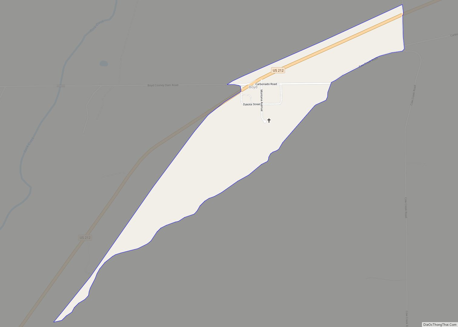
Boyd is a census-designated place and unincorporated community in Carbon County, Montana, United States. As of the 2010 census it had a population of 35. Boyd was a stop on the Northern Pacific Railway en route to Red Lodge. A post office was first established at Boyd on March 12, 1909 with Roland N. Doughty as the town’s first postmaster. Since December 3, 1965, the office has operated as a rural station or a CPO of Roberts with the ZIP code of 59013.
As a station for the Northern Pacific Railway, Boyd prospered. Once travel by automobile became common, the town’s economy declined.
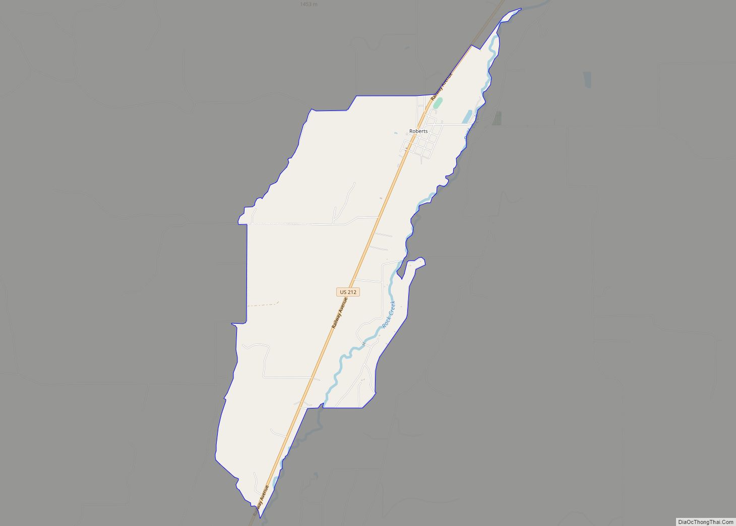
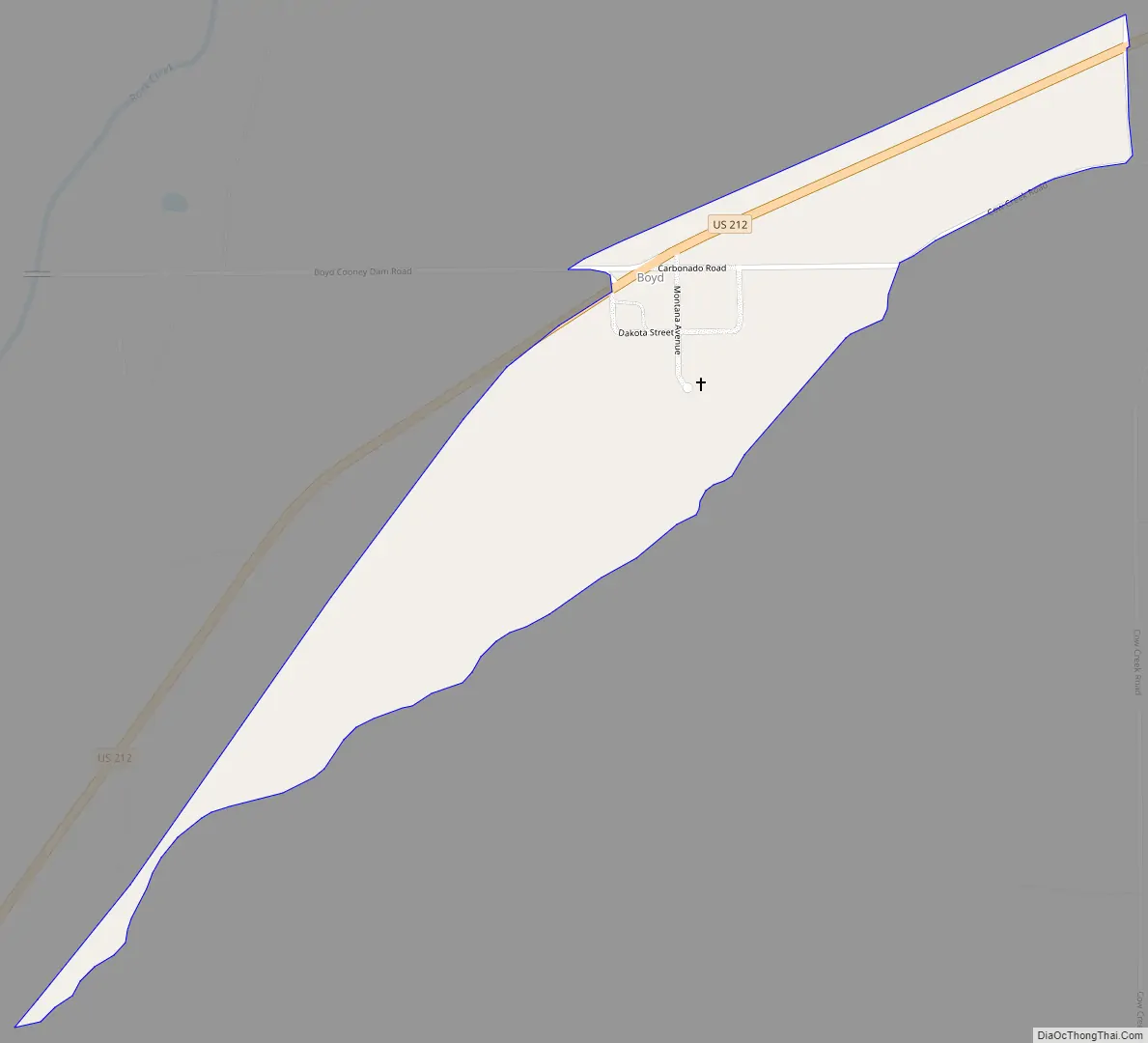
Situated on U.S. Route 212, Boyd is about 21 miles from Red Lodge. The turnoff to Cooney Reservoir is in town.
| Name: | Boyd CDP |
|---|---|
| LSAD Code: | 57 |
| LSAD Description: | CDP (suffix) |
| State: | Montana |
| County: | Carbon County |
| Elevation: | 4,036 ft (1,230 m) |
| Total Area: | 0.28 sq mi (0.71 km²) |
| Land Area: | 0.28 sq mi (0.71 km²) |
| Water Area: | 0.00 sq mi (0.00 km²) |
| Total Population: | 19 |
| Population Density: | 69.09/sq mi (26.69/km²) |
| ZIP code: | 59013 |
| Area code: | 406 |
| FIPS code: | 3008800 |
| GNISfeature ID: | 802051 |
Online Interactive Map
Click on ![]() to view map in "full screen" mode.
to view map in "full screen" mode.
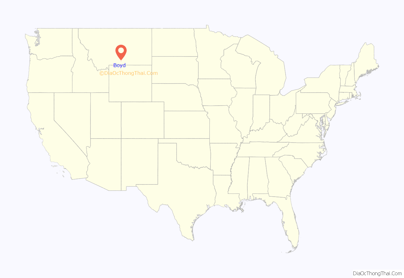
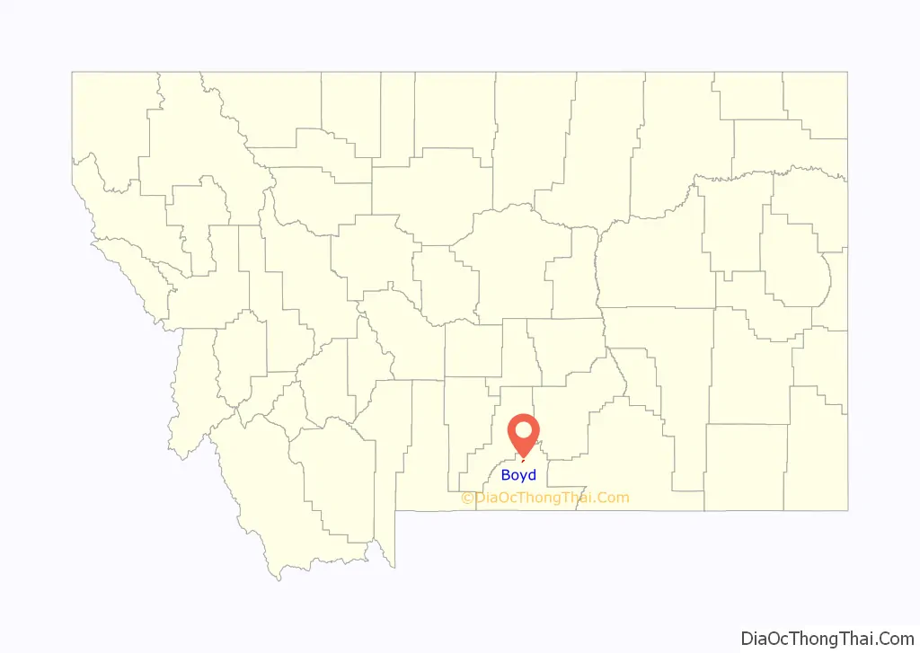
Boyd location map. Where is Boyd CDP?
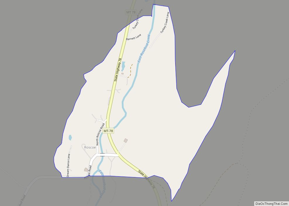
Boyd Road Map
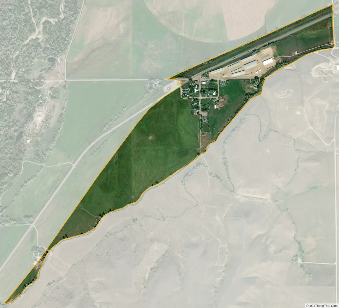
Boyd city Satellite Map
See also
Map of Montana State and its subdivision:- Beaverhead
- Big Horn
- Blaine
- Broadwater
- Carbon
- Carter
- Cascade
- Chouteau
- Custer
- Daniels
- Dawson
- Deer Lodge
- Fallon
- Fergus
- Flathead
- Gallatin
- Garfield
- Glacier
- Golden Valley
- Granite
- Hill
- Jefferson
- Judith Basin
- Lake
- Lewis and Clark
- Liberty
- Lincoln
- Madison
- McCone
- Meagher
- Mineral
- Missoula
- Musselshell
- Park
- Petroleum
- Phillips
- Pondera
- Powder River
- Powell
- Prairie
- Ravalli
- Richland
- Roosevelt
- Rosebud
- Sanders
- Sheridan
- Silver Bow
- Stillwater
- Sweet Grass
- Teton
- Toole
- Treasure
- Valley
- Wheatland
- Wibaux
- Yellowstone
- Alabama
- Alaska
- Arizona
- Arkansas
- California
- Colorado
- Connecticut
- Delaware
- District of Columbia
- Florida
- Georgia
- Hawaii
- Idaho
- Illinois
- Indiana
- Iowa
- Kansas
- Kentucky
- Louisiana
- Maine
- Maryland
- Massachusetts
- Michigan
- Minnesota
- Mississippi
- Missouri
- Montana
- Nebraska
- Nevada
- New Hampshire
- New Jersey
- New Mexico
- New York
- North Carolina
- North Dakota
- Ohio
- Oklahoma
- Oregon
- Pennsylvania
- Rhode Island
- South Carolina
- South Dakota
- Tennessee
- Texas
- Utah
- Vermont
- Virginia
- Washington
- West Virginia
- Wisconsin
- Wyoming