Columbia Falls is a city along the Flathead River in Flathead County, Montana, United States. The population was 5,308 at the 2020 census. Columbia Falls has been ranked as one of the best and safest places to live in Montana.
| Name: | Columbia Falls city |
|---|---|
| LSAD Code: | 25 |
| LSAD Description: | city (suffix) |
| State: | Montana |
| County: | Flathead County |
| Elevation: | 3,081 ft (939 m) |
| Total Area: | 2.25 sq mi (5.82 km²) |
| Land Area: | 2.24 sq mi (5.81 km²) |
| Water Area: | 0.00 sq mi (0.01 km²) |
| Total Population: | 5,308 |
| Population Density: | 2,366.47/sq mi (913.55/km²) |
| ZIP code: | 59912 |
| Area code: | 406 |
| FIPS code: | 3016600 |
| GNISfeature ID: | 0806934 |
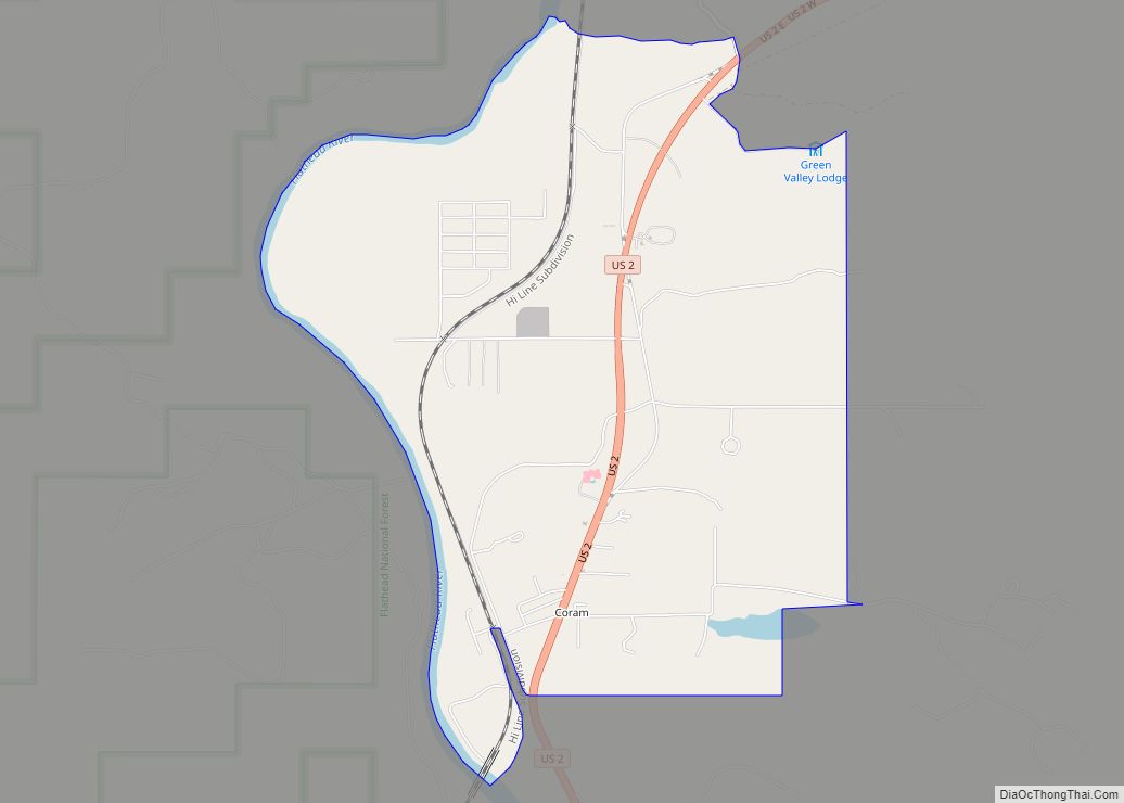
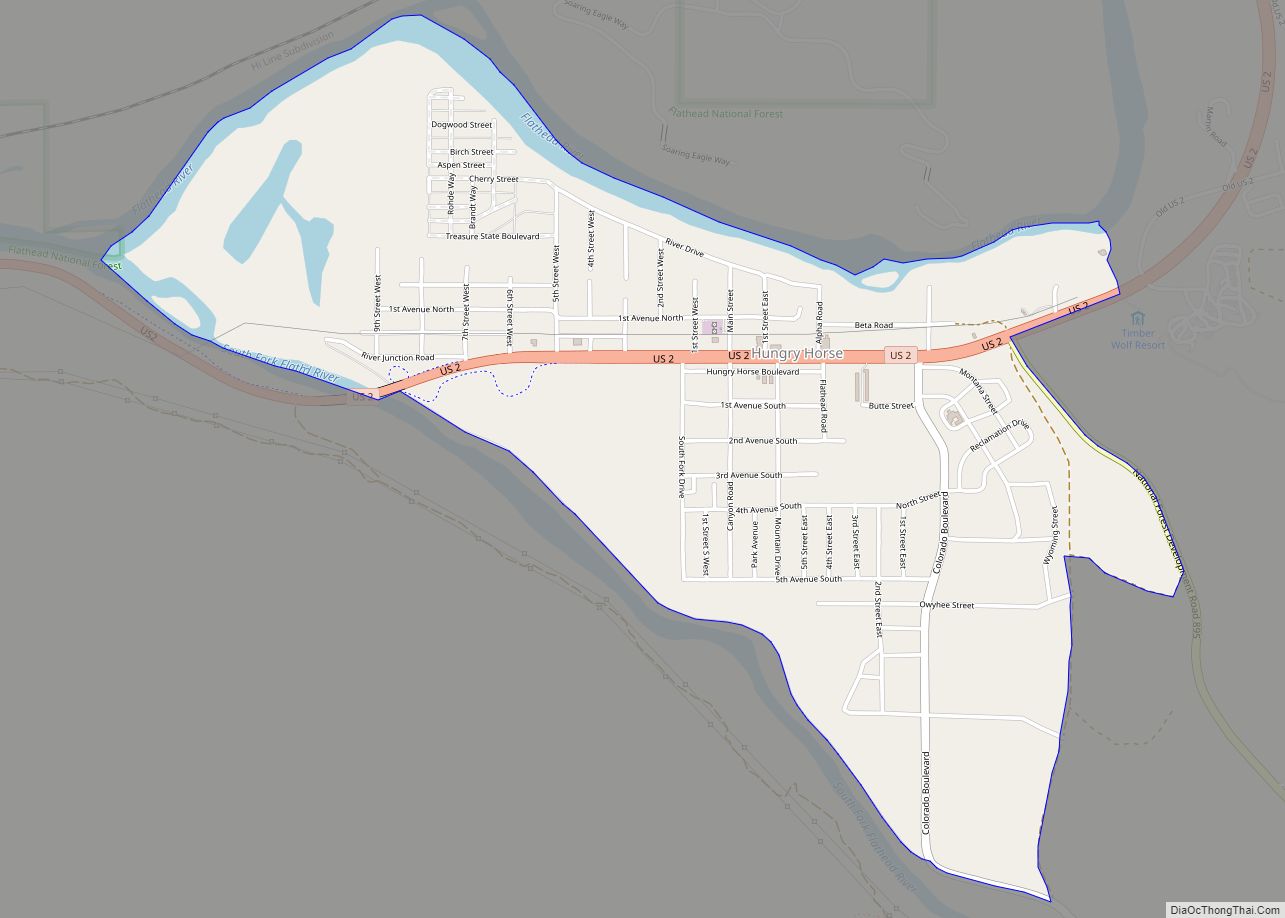
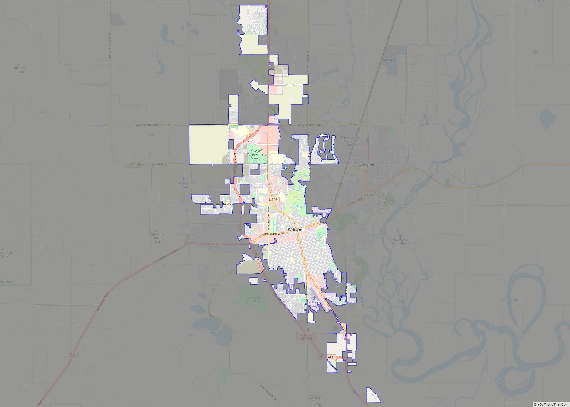
Online Interactive Map
Click on ![]() to view map in "full screen" mode.
to view map in "full screen" mode.
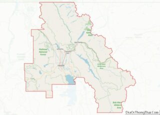
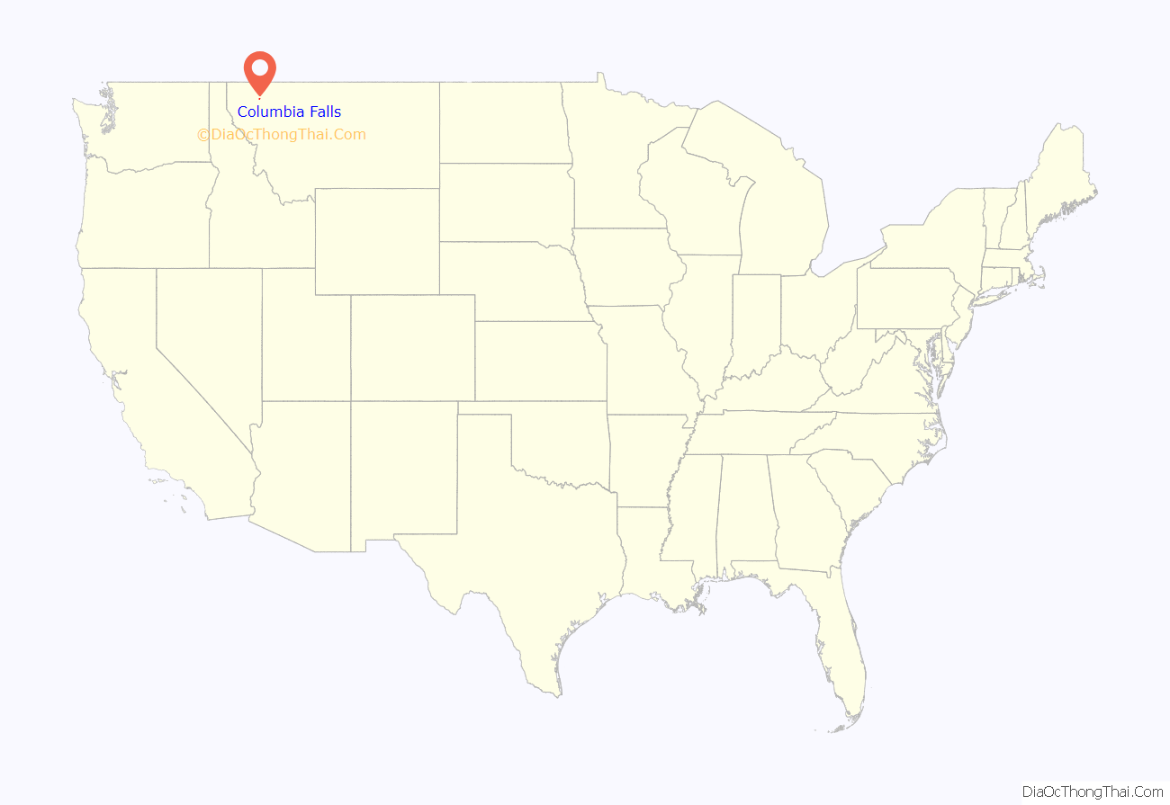
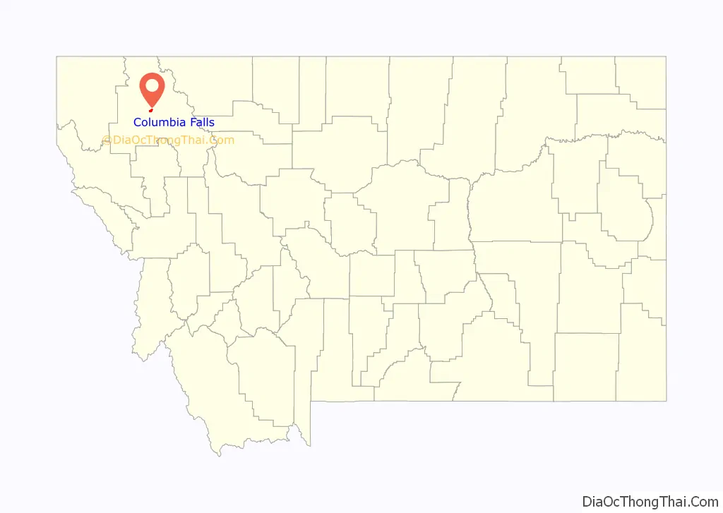
Columbia Falls location map. Where is Columbia Falls city?
History
The area that would become the city of Columbia Falls was first settled in 1891, in anticipation of the arrival of the Great Northern Railway. On April 26, 1909, the city of Columbia Falls was officially incorporated.
The first residents requested the name “Columbia” for the U.S. Post Office, but the element “Falls” was ultimately tacked onto the name in order to avoid any confusion with the already-named Columbus, Montana.
The Montana Veterans Home in Columbia Falls has served veterans since 1896. Its current housing facility was opened by Montana Governor Forrest H. Anderson at an official dedication ceremony in 1970. An E. M. Viquesney statue of a World War I doughboy was moved to the front of the Veterans’ Home in 1972. The statue “originally stood in Kalispell in the Main Street median in front of the Flathead County Courthouse.”
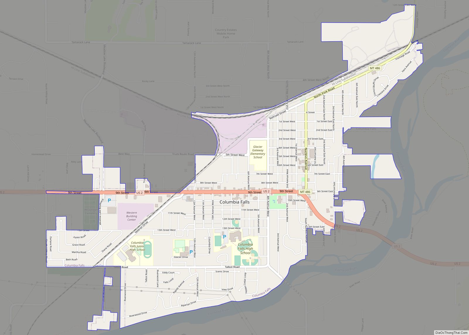
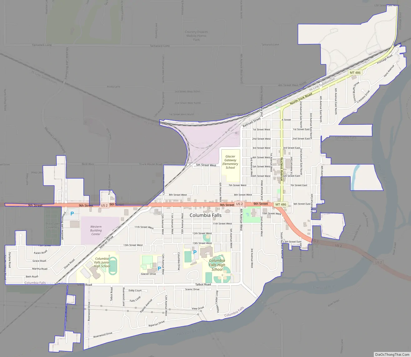
Columbia Falls Road Map
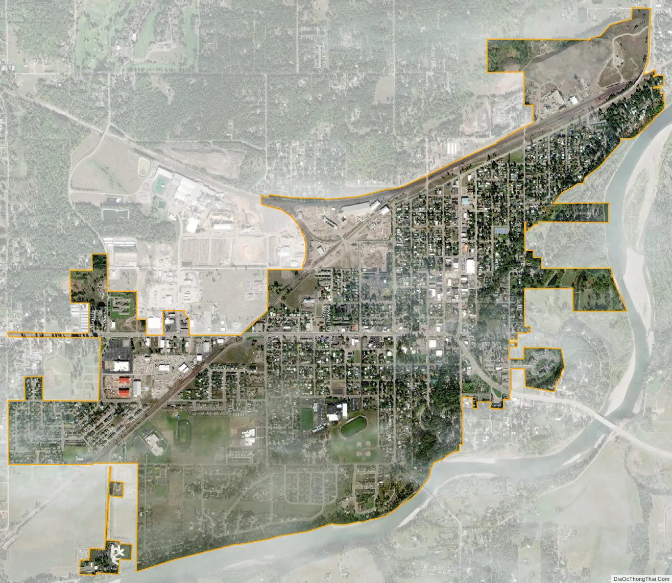
Columbia Falls city Satellite Map
Geography
The City of Columbia Falls is located about a mile from the Flathead National Forest boundary, 15 miles from Kalispell, MT and 17 miles from Glacier National Park.
According to the United States Census Bureau, the city has a total area of 2.05 square miles (5.31 km), all land.
See also
Map of Montana State and its subdivision:- Beaverhead
- Big Horn
- Blaine
- Broadwater
- Carbon
- Carter
- Cascade
- Chouteau
- Custer
- Daniels
- Dawson
- Deer Lodge
- Fallon
- Fergus
- Flathead
- Gallatin
- Garfield
- Glacier
- Golden Valley
- Granite
- Hill
- Jefferson
- Judith Basin
- Lake
- Lewis and Clark
- Liberty
- Lincoln
- Madison
- McCone
- Meagher
- Mineral
- Missoula
- Musselshell
- Park
- Petroleum
- Phillips
- Pondera
- Powder River
- Powell
- Prairie
- Ravalli
- Richland
- Roosevelt
- Rosebud
- Sanders
- Sheridan
- Silver Bow
- Stillwater
- Sweet Grass
- Teton
- Toole
- Treasure
- Valley
- Wheatland
- Wibaux
- Yellowstone
- Alabama
- Alaska
- Arizona
- Arkansas
- California
- Colorado
- Connecticut
- Delaware
- District of Columbia
- Florida
- Georgia
- Hawaii
- Idaho
- Illinois
- Indiana
- Iowa
- Kansas
- Kentucky
- Louisiana
- Maine
- Maryland
- Massachusetts
- Michigan
- Minnesota
- Mississippi
- Missouri
- Montana
- Nebraska
- Nevada
- New Hampshire
- New Jersey
- New Mexico
- New York
- North Carolina
- North Dakota
- Ohio
- Oklahoma
- Oregon
- Pennsylvania
- Rhode Island
- South Carolina
- South Dakota
- Tennessee
- Texas
- Utah
- Vermont
- Virginia
- Washington
- West Virginia
- Wisconsin
- Wyoming