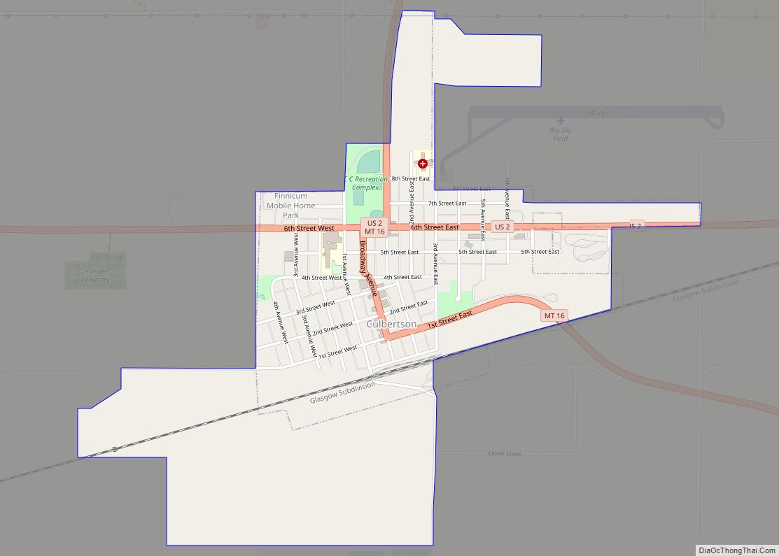
Culbertson is a town in Roosevelt County, Montana, United States. The population was 753 at the 2020 census.
| Name: | Culbertson town |
|---|---|
| LSAD Code: | 43 |
| LSAD Description: | town (suffix) |
| State: | Montana |
| County: | Roosevelt County |
| Elevation: | 1,932 ft (589 m) |
| Total Area: | 1.02 sq mi (2.65 km²) |
| Land Area: | 1.02 sq mi (2.65 km²) |
| Water Area: | 0.00 sq mi (0.00 km²) |
| Total Population: | 753 |
| Population Density: | 735.35/sq mi (283.84/km²) |
| ZIP code: | 59218 |
| Area code: | 406 |
| FIPS code: | 3018475 |
| GNISfeature ID: | 0770366 |
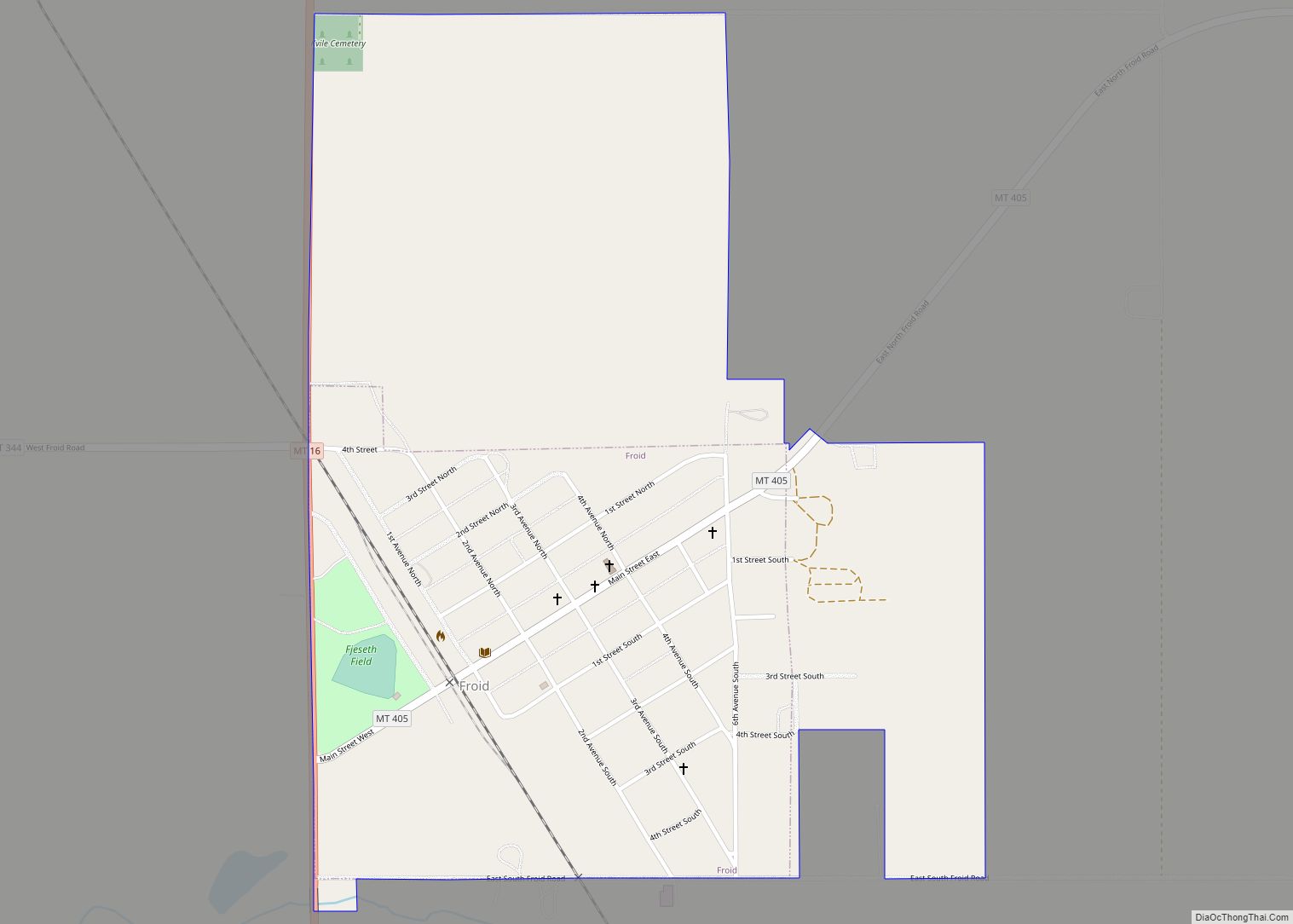
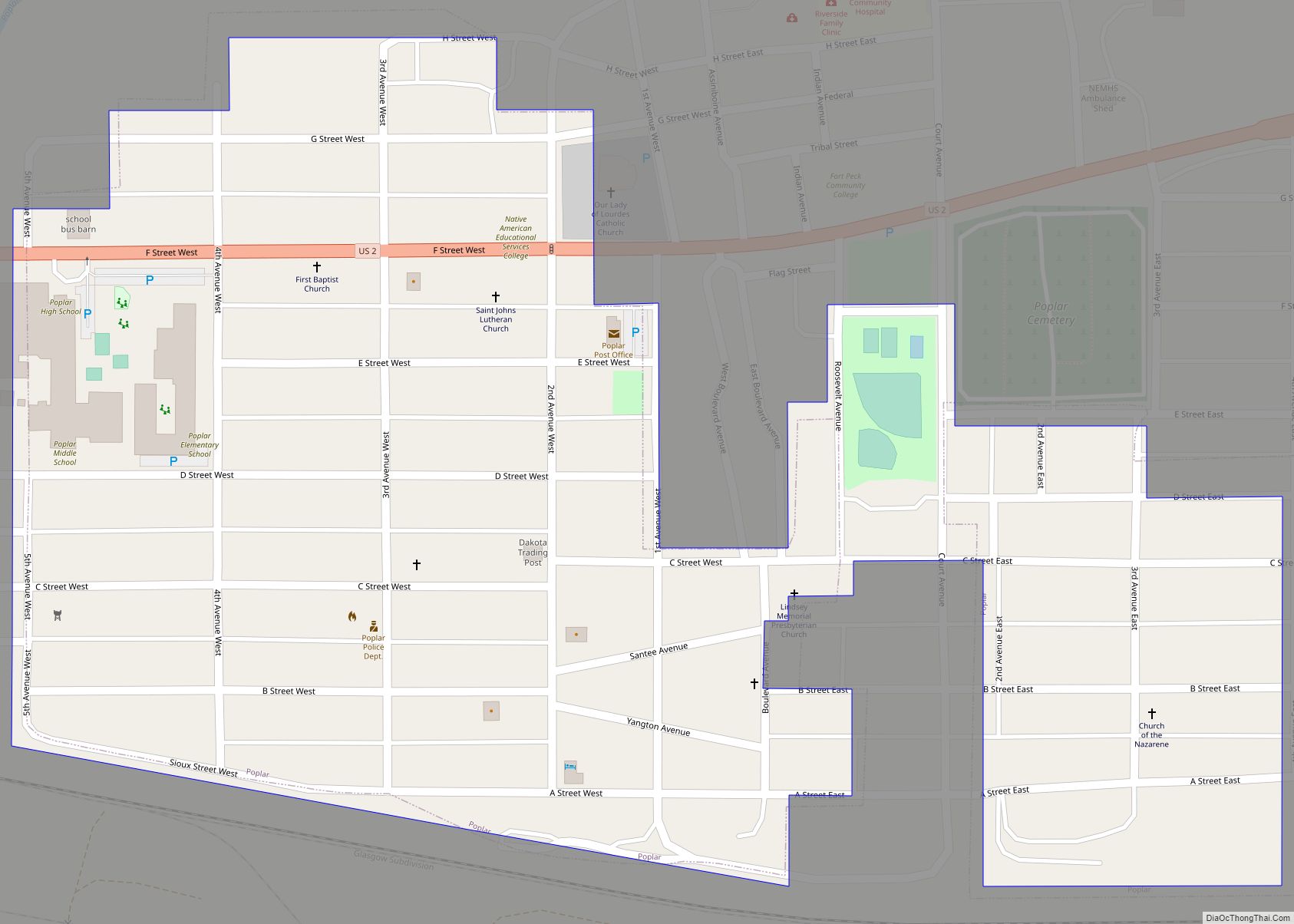
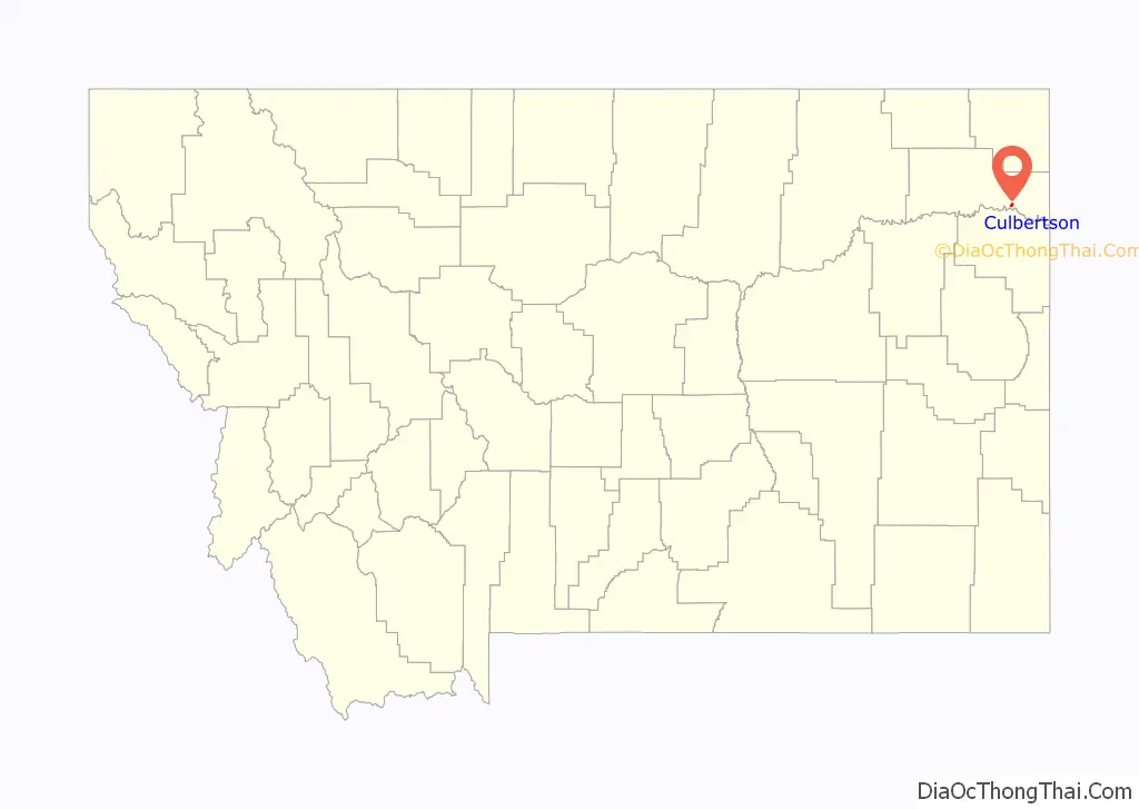
Online Interactive Map
Click on ![]() to view map in "full screen" mode.
to view map in "full screen" mode.
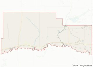
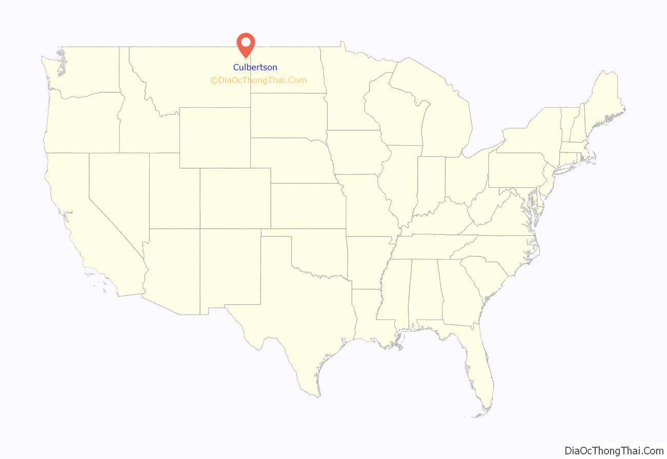
Culbertson location map. Where is Culbertson town?
History
Culbertson was created in June 1887 following the arrival of the Great Northern Railway, then known as the St. Paul, Minneapolis & Manitoba Railway. The town was named after Major Alexander Culbertson, former head of the American Fur Company’s Fort Union, 23 miles (37 km) to the east.
The settlement of Culbertson followed hard on the heels of the 1886-87 watershed years for the early cattle industry. As a result, the first settlers in the area raised horses for the US Cavalry’s various Montana and Dakota posts. As cattle prices slowly rebounded, the range was once again stocked with cattle, though the second wave of cattlemen utilized hardy English breeds instead of the Texas longhorns of the earlier outfits.
With the passage of new homestead laws in 1909 enabling homesteaders to take out larger acreages, the area saw an influx of dryland farmers. With its railroad connection, Culbertson became the center of the area’s agricultural trade. When the agricultural boom went bust after World War II and never resumed its former glory, Culbertson saw a gradual decline in businesses and population. This was somewhat ameliorated by a heavy railroad presence in the community.
Culbertson also became a surviving center as smaller adjacent communities dried up in the agricultural depression of the 1920s and 1930s. With better automobiles and better roads, farmers and ranchers could live farther from centers of trade.
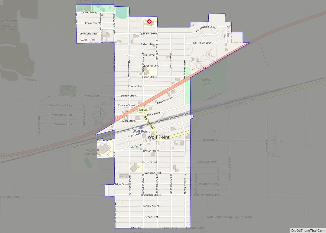
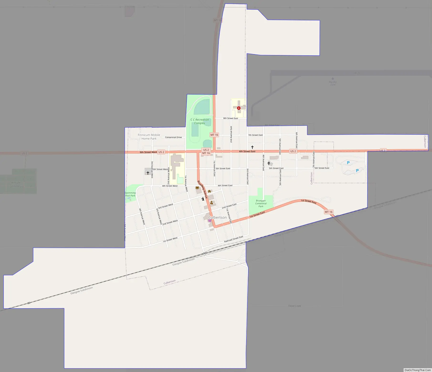
Culbertson Road Map
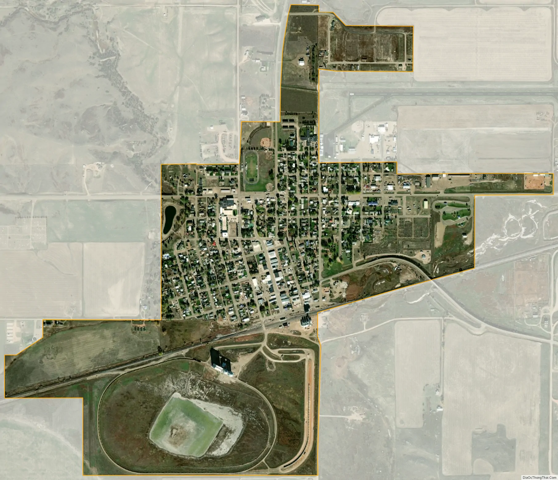
Culbertson city Satellite Map
Geography
According to the United States Census Bureau, the town has a total area of 0.60 square miles (1.55 km), all land.
Climate
According to the Köppen Climate Classification system, Culbertson has a semi-arid climate, abbreviated “BSk” on climate maps.
See also
Map of Montana State and its subdivision:- Beaverhead
- Big Horn
- Blaine
- Broadwater
- Carbon
- Carter
- Cascade
- Chouteau
- Custer
- Daniels
- Dawson
- Deer Lodge
- Fallon
- Fergus
- Flathead
- Gallatin
- Garfield
- Glacier
- Golden Valley
- Granite
- Hill
- Jefferson
- Judith Basin
- Lake
- Lewis and Clark
- Liberty
- Lincoln
- Madison
- McCone
- Meagher
- Mineral
- Missoula
- Musselshell
- Park
- Petroleum
- Phillips
- Pondera
- Powder River
- Powell
- Prairie
- Ravalli
- Richland
- Roosevelt
- Rosebud
- Sanders
- Sheridan
- Silver Bow
- Stillwater
- Sweet Grass
- Teton
- Toole
- Treasure
- Valley
- Wheatland
- Wibaux
- Yellowstone
- Alabama
- Alaska
- Arizona
- Arkansas
- California
- Colorado
- Connecticut
- Delaware
- District of Columbia
- Florida
- Georgia
- Hawaii
- Idaho
- Illinois
- Indiana
- Iowa
- Kansas
- Kentucky
- Louisiana
- Maine
- Maryland
- Massachusetts
- Michigan
- Minnesota
- Mississippi
- Missouri
- Montana
- Nebraska
- Nevada
- New Hampshire
- New Jersey
- New Mexico
- New York
- North Carolina
- North Dakota
- Ohio
- Oklahoma
- Oregon
- Pennsylvania
- Rhode Island
- South Carolina
- South Dakota
- Tennessee
- Texas
- Utah
- Vermont
- Virginia
- Washington
- West Virginia
- Wisconsin
- Wyoming