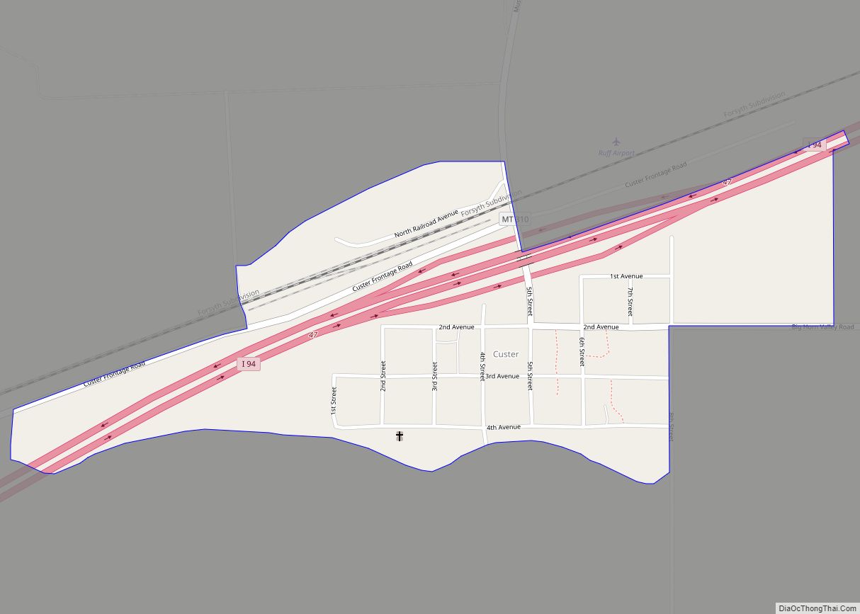
Custer is a village in Yellowstone County, Montana, United States. The population was 145 at the 2000 census.
This community bears the name of U.S. Army General George Armstrong Custer who was defeated and killed at the Battle of Little Big Horn, which took place nearby in 1876. Originally a Northern Pacific Railroad station established in 1882, the post office began in 1905.
Custer is also the focal point of a CDP of the same name.
| Name: | Custer CDP |
|---|---|
| LSAD Code: | 57 |
| LSAD Description: | CDP (suffix) |
| State: | Montana |
| County: | Yellowstone County |
| Elevation: | 2,746 ft (837 m) |
| Total Area: | 0.32 sq mi (0.81 km²) |
| Land Area: | 0.32 sq mi (0.81 km²) |
| Water Area: | 0.00 sq mi (0.00 km²) |
| Total Population: | 119 |
| Population Density: | 377.78/sq mi (146.07/km²) |
| ZIP code: | 59024 |
| Area code: | 406 |
| FIPS code: | 3018700 |
| GNISfeature ID: | 0770386 |
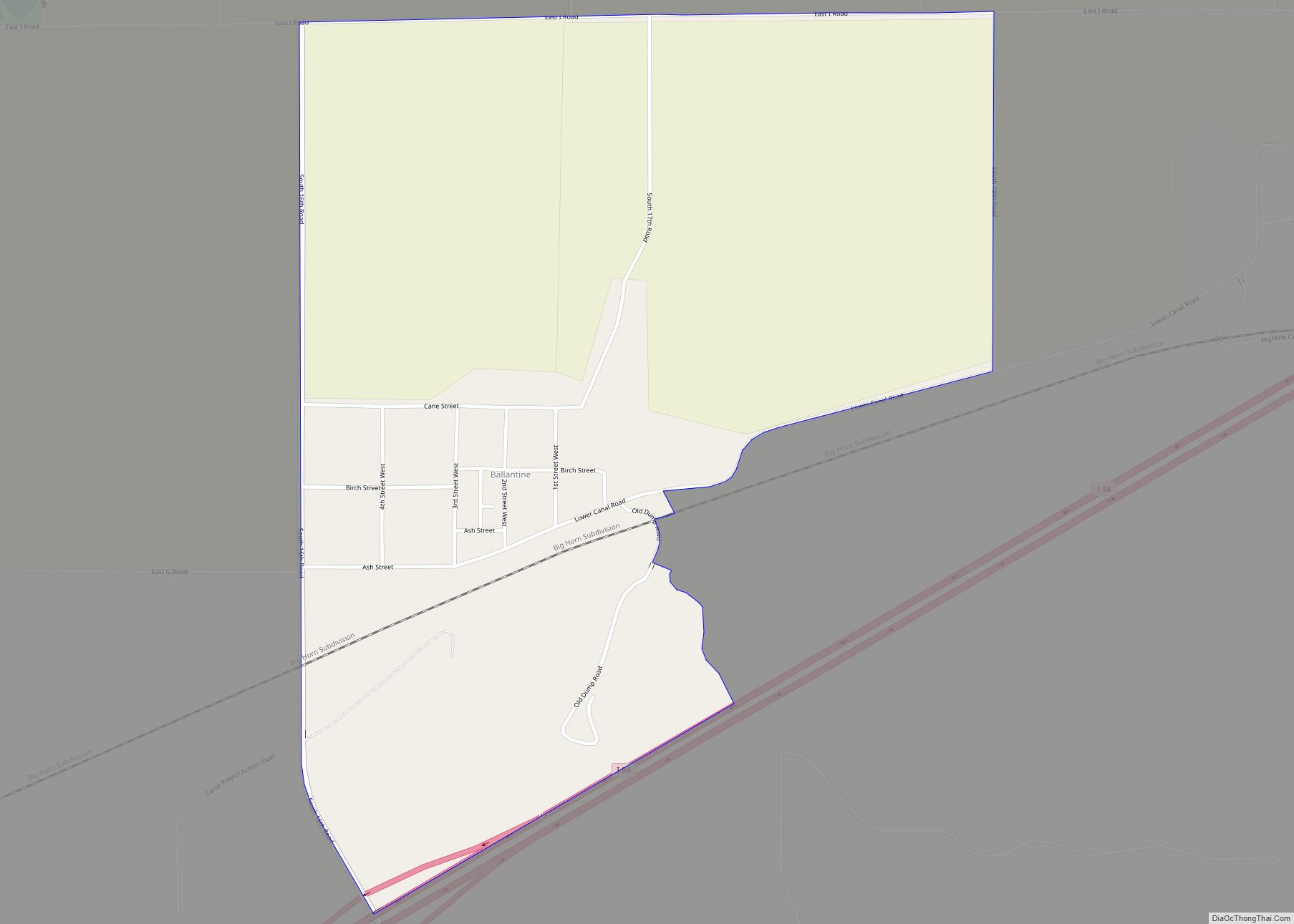
Online Interactive Map
Click on ![]() to view map in "full screen" mode.
to view map in "full screen" mode.
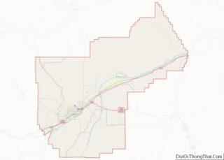
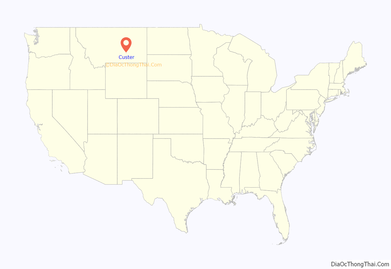
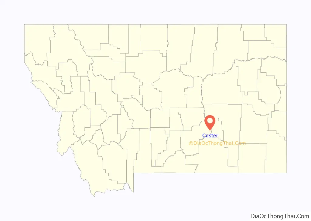
Custer location map. Where is Custer CDP?
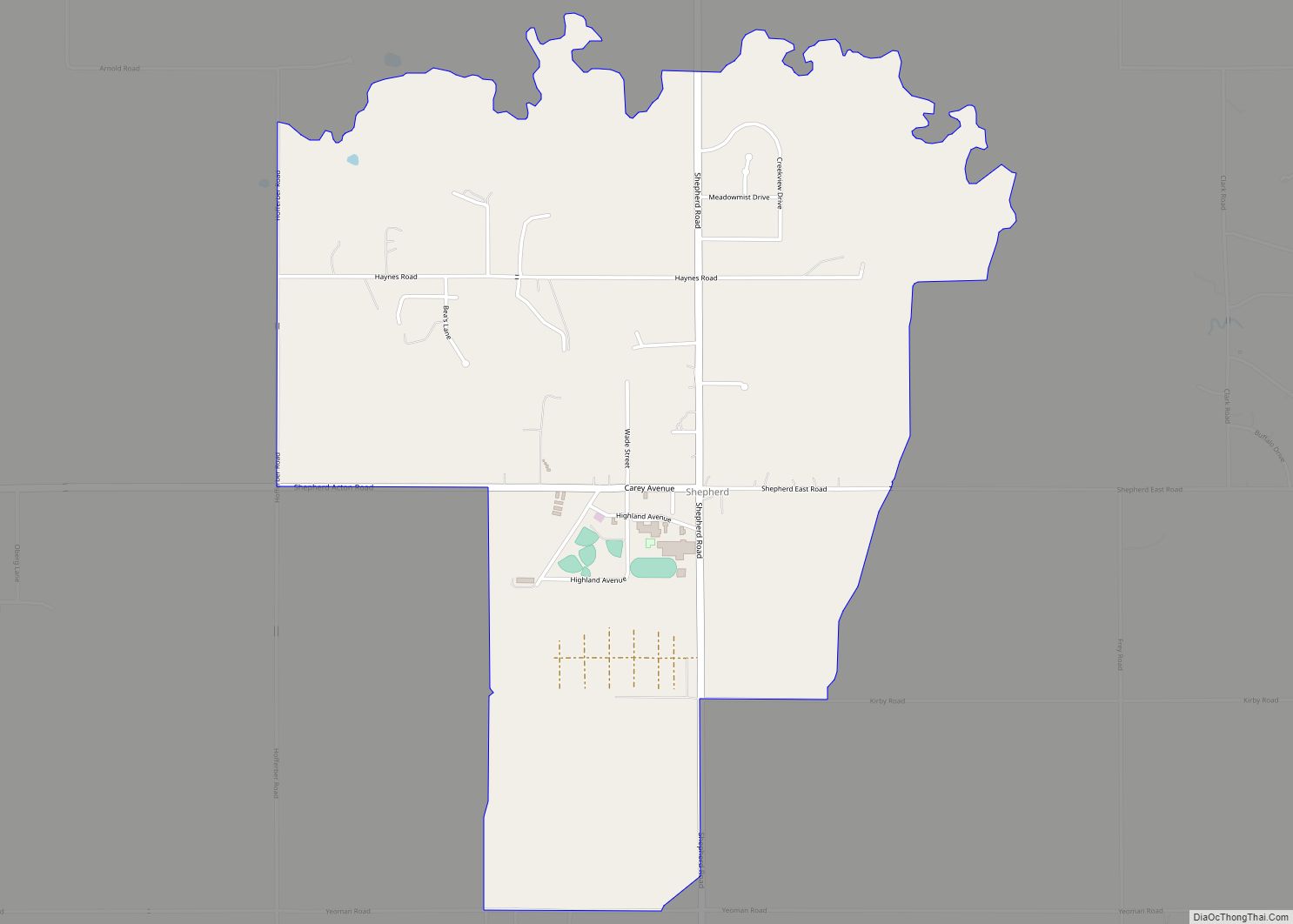
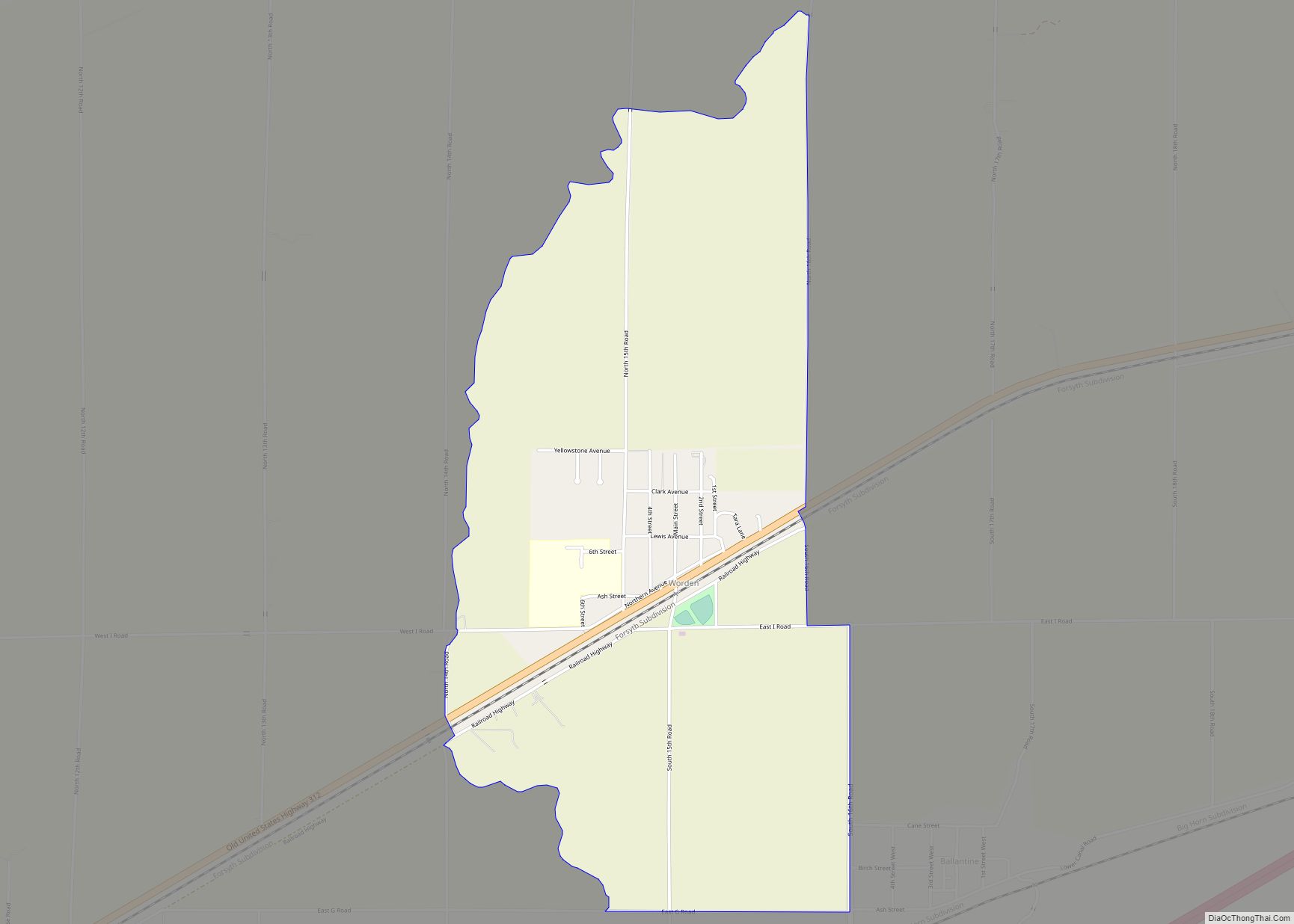
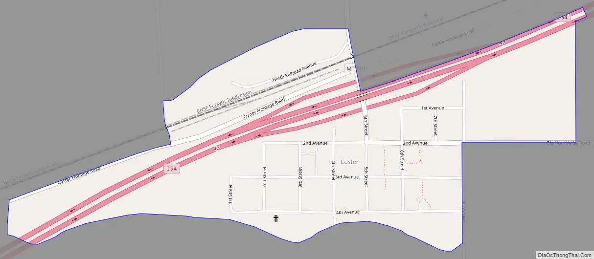
Custer Road Map
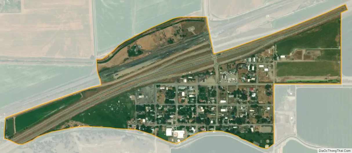
Custer city Satellite Map
Geography
Custer is located at 46°7′44″N 107°33′23″W / 46.12889°N 107.55639°W / 46.12889; -107.55639 (46.128870, -107.556302).
According to the United States Census Bureau, the CDP has a total area of 0.3 square miles (0.78 km), all land.
Climate
According to the Köppen Climate Classification system, Custer has a semi-arid climate, abbreviated “BSk” on climate maps.
See also
Map of Montana State and its subdivision:- Beaverhead
- Big Horn
- Blaine
- Broadwater
- Carbon
- Carter
- Cascade
- Chouteau
- Custer
- Daniels
- Dawson
- Deer Lodge
- Fallon
- Fergus
- Flathead
- Gallatin
- Garfield
- Glacier
- Golden Valley
- Granite
- Hill
- Jefferson
- Judith Basin
- Lake
- Lewis and Clark
- Liberty
- Lincoln
- Madison
- McCone
- Meagher
- Mineral
- Missoula
- Musselshell
- Park
- Petroleum
- Phillips
- Pondera
- Powder River
- Powell
- Prairie
- Ravalli
- Richland
- Roosevelt
- Rosebud
- Sanders
- Sheridan
- Silver Bow
- Stillwater
- Sweet Grass
- Teton
- Toole
- Treasure
- Valley
- Wheatland
- Wibaux
- Yellowstone
- Alabama
- Alaska
- Arizona
- Arkansas
- California
- Colorado
- Connecticut
- Delaware
- District of Columbia
- Florida
- Georgia
- Hawaii
- Idaho
- Illinois
- Indiana
- Iowa
- Kansas
- Kentucky
- Louisiana
- Maine
- Maryland
- Massachusetts
- Michigan
- Minnesota
- Mississippi
- Missouri
- Montana
- Nebraska
- Nevada
- New Hampshire
- New Jersey
- New Mexico
- New York
- North Carolina
- North Dakota
- Ohio
- Oklahoma
- Oregon
- Pennsylvania
- Rhode Island
- South Carolina
- South Dakota
- Tennessee
- Texas
- Utah
- Vermont
- Virginia
- Washington
- West Virginia
- Wisconsin
- Wyoming