Denton is a town in Fergus County, Montana, United States. The population was 205 at the 2020 census.
Central Montana Rail, Inc. is headquartered in Denton.
| Name: | Denton town |
|---|---|
| LSAD Code: | 43 |
| LSAD Description: | town (suffix) |
| State: | Montana |
| County: | Fergus County |
| Elevation: | 3,599 ft (1,097 m) |
| Total Area: | 0.71 sq mi (1.85 km²) |
| Land Area: | 0.71 sq mi (1.85 km²) |
| Water Area: | 0.00 sq mi (0.00 km²) |
| Total Population: | 205 |
| Population Density: | 287.52/sq mi (110.96/km²) |
| ZIP code: | 59430 |
| Area code: | 406 |
| FIPS code: | 3020425 |
| GNISfeature ID: | 0770605 |
Online Interactive Map
Click on ![]() to view map in "full screen" mode.
to view map in "full screen" mode.
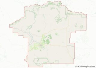
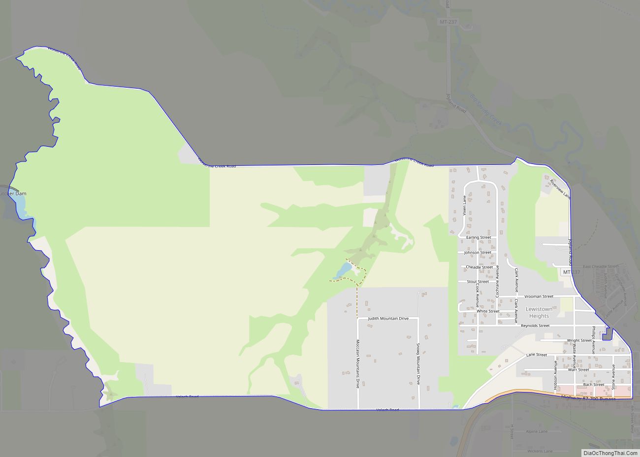
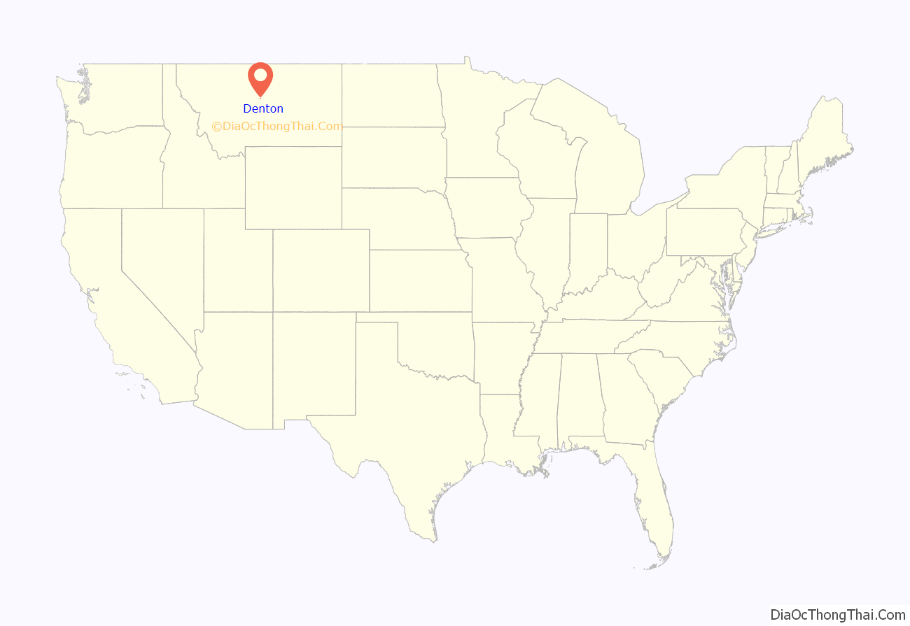
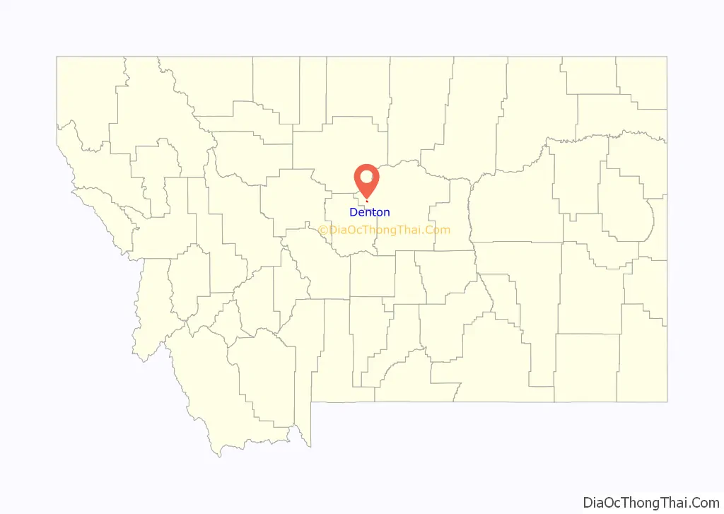
Denton location map. Where is Denton town?
History
A post office called Denton has been in operation since 1888. It was named after the Missouri county where the postmaster previously lived. The town was established at its present site when the railroad was extended to that point.
The fast-moving West Wind Fire swept through the town in December 2021. Twelve families lost their homes. The wildfire destroyed or damaged many structures including garages, barns and grain elevators. There were no serious injuries as the town was evacuated minutes before the fire, which burned 10,000 acres (4,000 ha), reached the town.
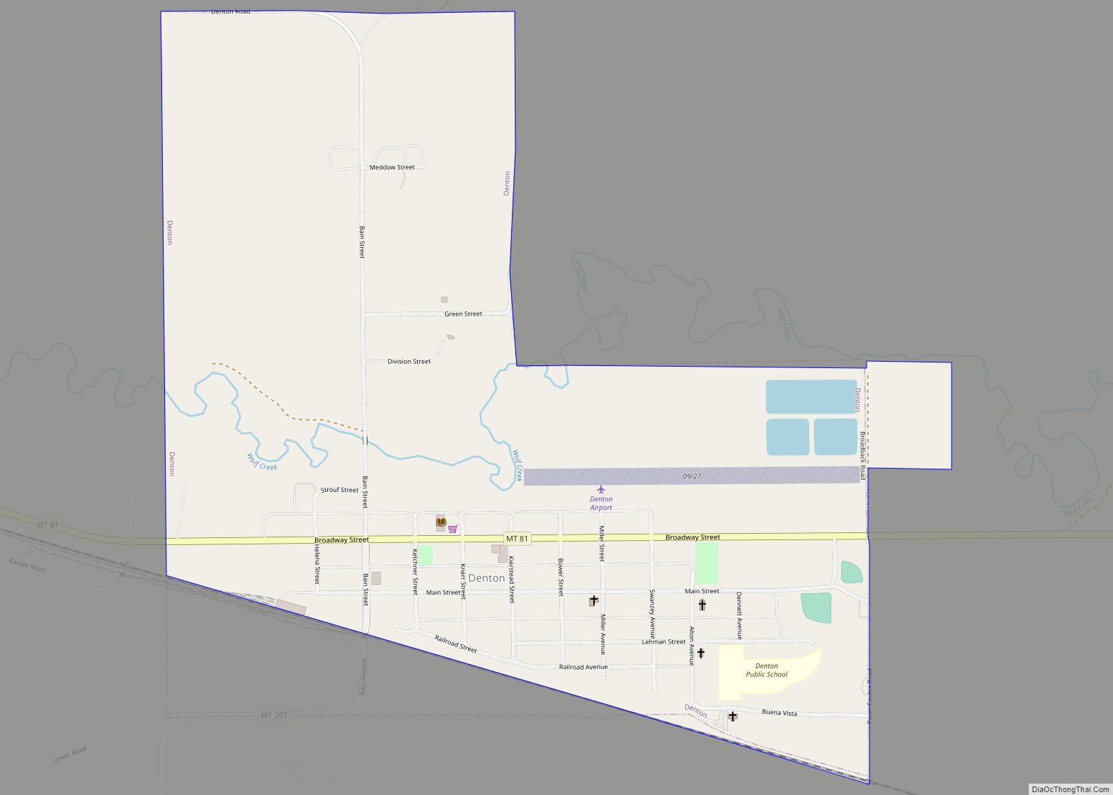
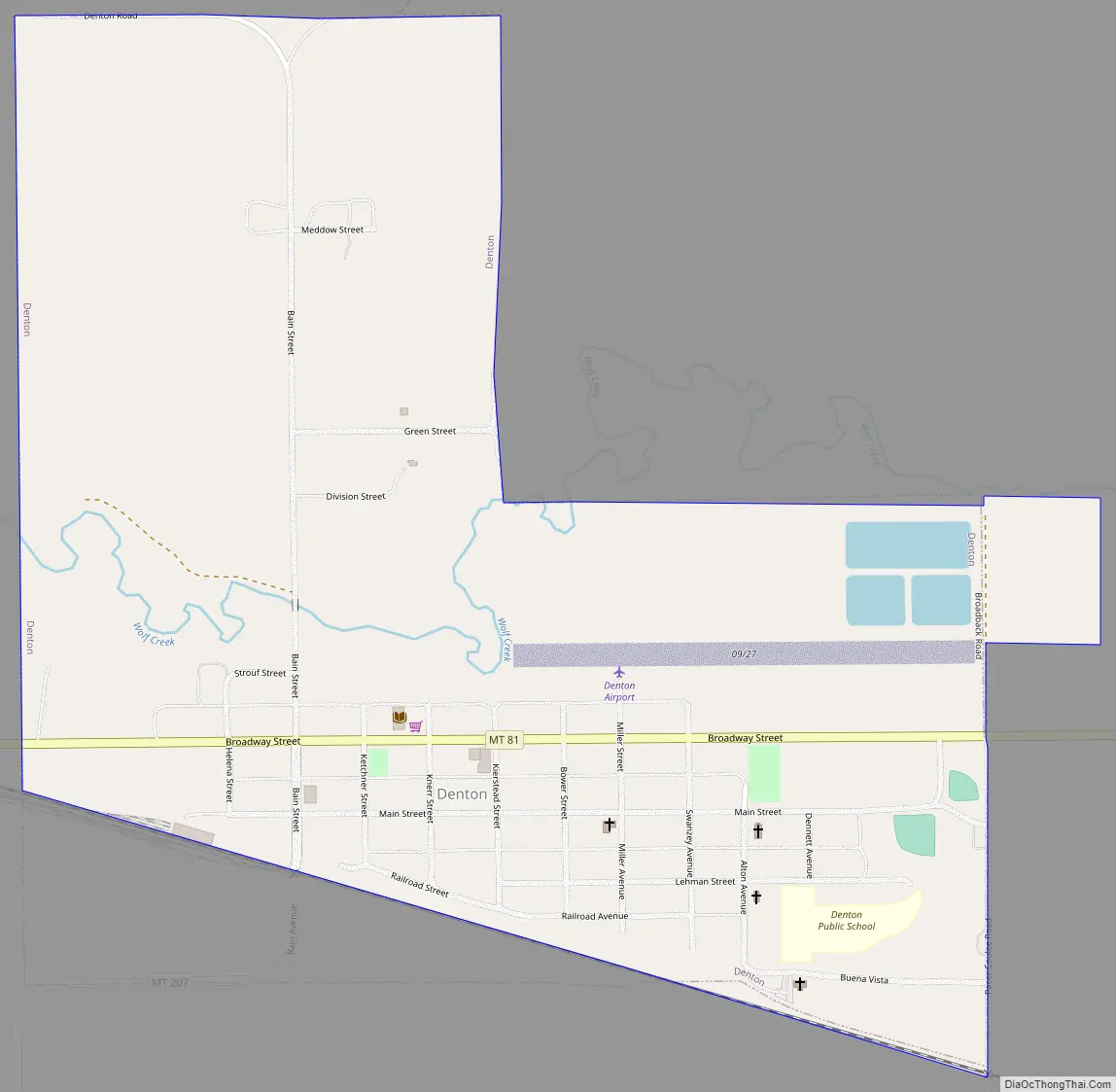
Denton Road Map
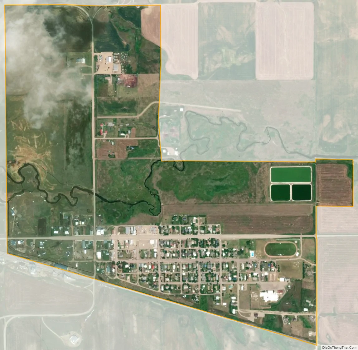
Denton city Satellite Map
Geography
Montana Highway 81 passes through town. According to the United States Census Bureau, the town has a total area of 0.76 square miles (1.97 km), all land.
See also
Map of Montana State and its subdivision:- Beaverhead
- Big Horn
- Blaine
- Broadwater
- Carbon
- Carter
- Cascade
- Chouteau
- Custer
- Daniels
- Dawson
- Deer Lodge
- Fallon
- Fergus
- Flathead
- Gallatin
- Garfield
- Glacier
- Golden Valley
- Granite
- Hill
- Jefferson
- Judith Basin
- Lake
- Lewis and Clark
- Liberty
- Lincoln
- Madison
- McCone
- Meagher
- Mineral
- Missoula
- Musselshell
- Park
- Petroleum
- Phillips
- Pondera
- Powder River
- Powell
- Prairie
- Ravalli
- Richland
- Roosevelt
- Rosebud
- Sanders
- Sheridan
- Silver Bow
- Stillwater
- Sweet Grass
- Teton
- Toole
- Treasure
- Valley
- Wheatland
- Wibaux
- Yellowstone
- Alabama
- Alaska
- Arizona
- Arkansas
- California
- Colorado
- Connecticut
- Delaware
- District of Columbia
- Florida
- Georgia
- Hawaii
- Idaho
- Illinois
- Indiana
- Iowa
- Kansas
- Kentucky
- Louisiana
- Maine
- Maryland
- Massachusetts
- Michigan
- Minnesota
- Mississippi
- Missouri
- Montana
- Nebraska
- Nevada
- New Hampshire
- New Jersey
- New Mexico
- New York
- North Carolina
- North Dakota
- Ohio
- Oklahoma
- Oregon
- Pennsylvania
- Rhode Island
- South Carolina
- South Dakota
- Tennessee
- Texas
- Utah
- Vermont
- Virginia
- Washington
- West Virginia
- Wisconsin
- Wyoming