Finley Point (Salish: sčc̓méple ) is a census-designated place (CDP) in Lake County, Montana, United States. As of the 2010 census the population was 480.
| Name: | Finley Point CDP |
|---|---|
| LSAD Code: | 57 |
| LSAD Description: | CDP (suffix) |
| State: | Montana |
| County: | Lake County |
| Elevation: | 2,927 ft (892 m) |
| Total Area: | 11.39 sq mi (29.51 km²) |
| Land Area: | 4.27 sq mi (11.05 km²) |
| Water Area: | 7.13 sq mi (18.46 km²) |
| Total Population: | 532 |
| Population Density: | 124.68/sq mi (48.14/km²) |
| Area code: | 406 |
| FIPS code: | 3026226 |
| GNISfeature ID: | 1867337 |
Online Interactive Map
Click on ![]() to view map in "full screen" mode.
to view map in "full screen" mode.
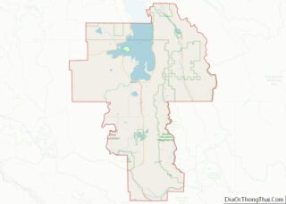
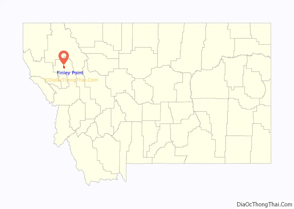
Finley Point location map. Where is Finley Point CDP?

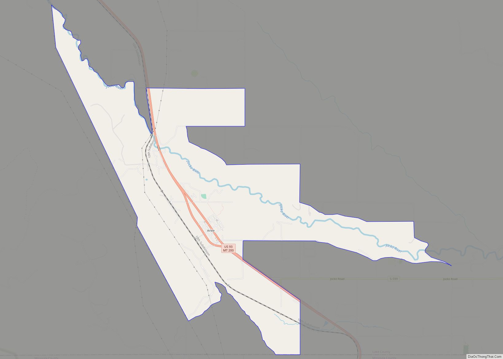
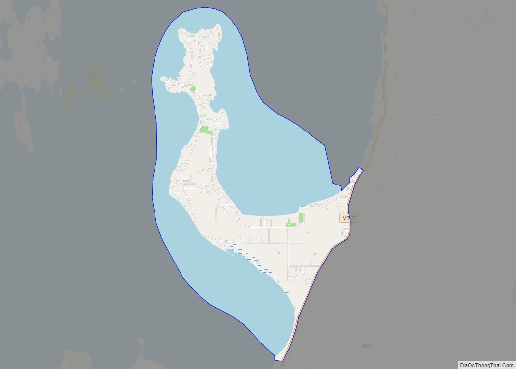
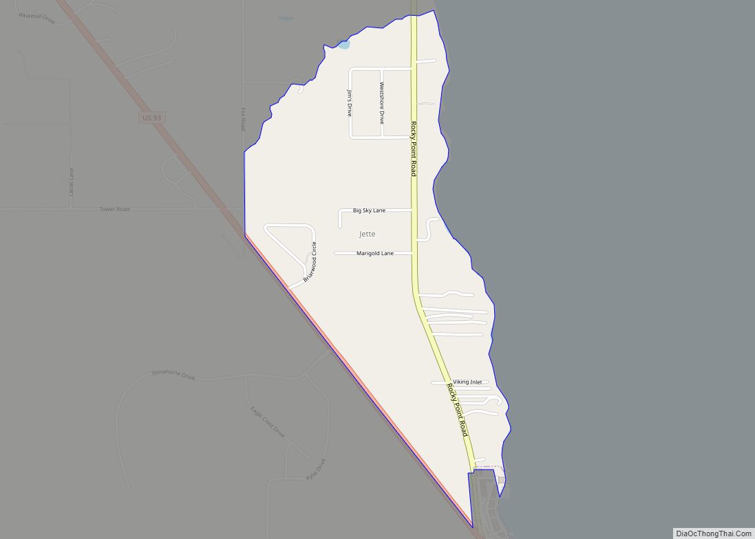
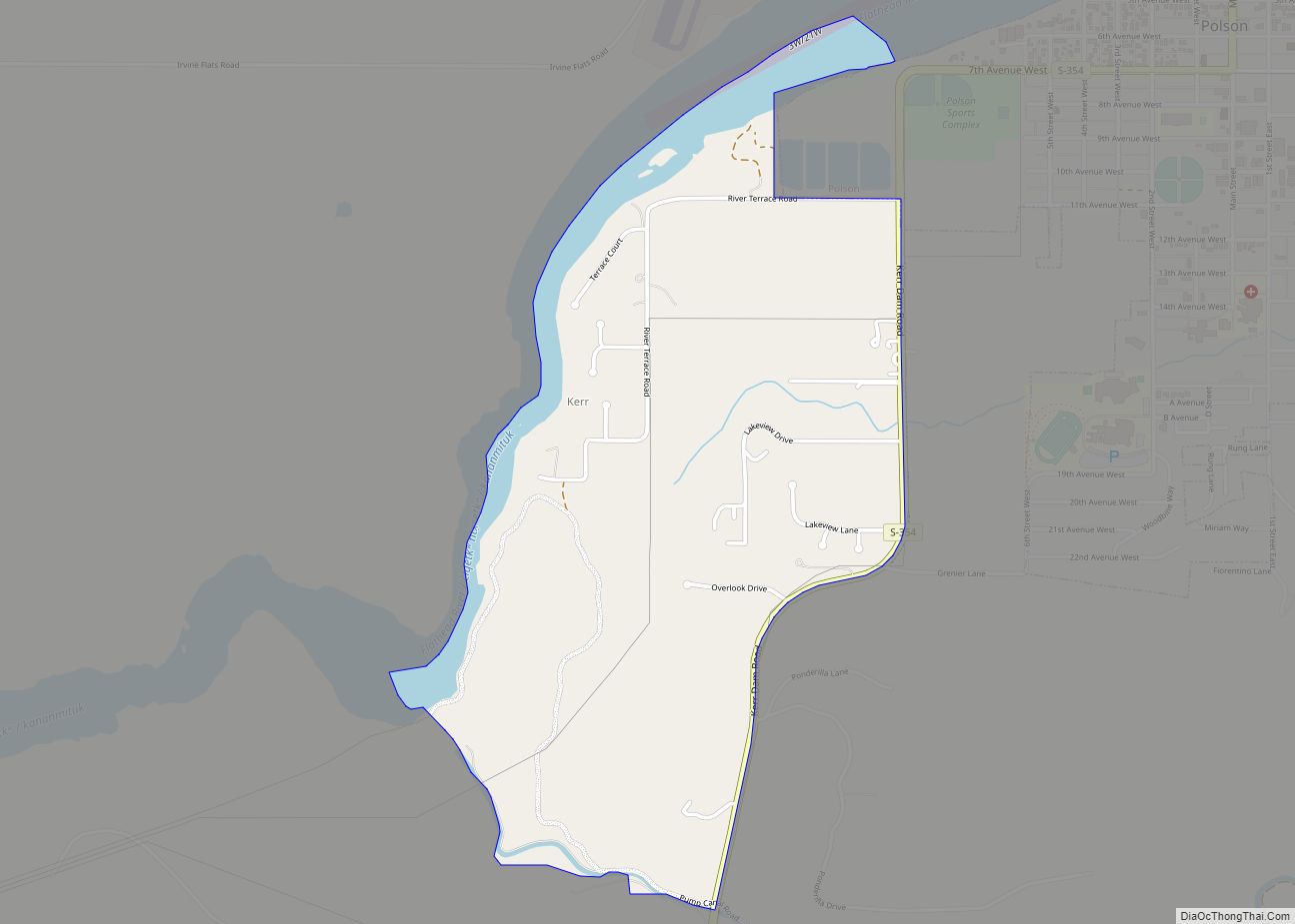
Finley Point Road Map
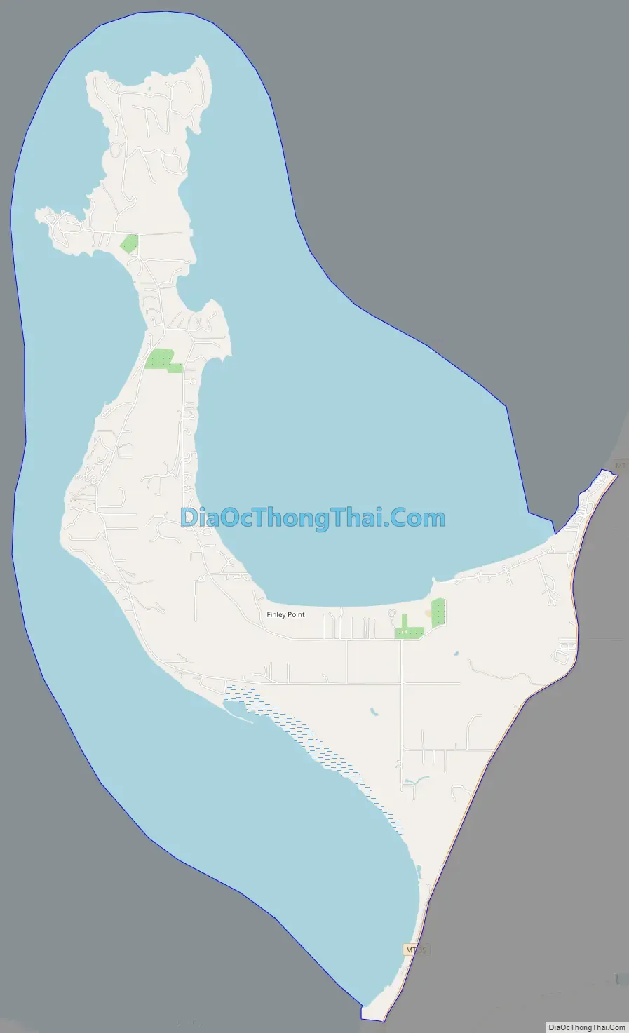
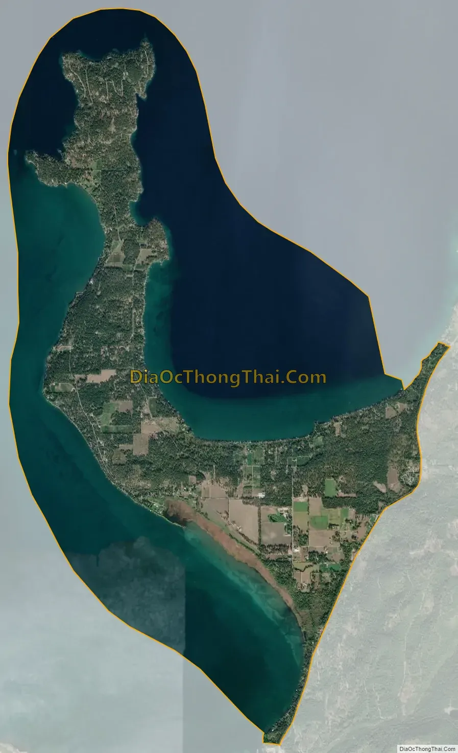
Finley Point city Satellite Map
Geography
The Finley Point CDP is located in north-central Lake County at 47°45′3″N 114°4′30″W / 47.75083°N 114.07500°W / 47.75083; -114.07500 (47.750877, -114.074974). It occupies a peninsula named Finley Point that extends into Flathead Lake from the southeast, separating Skidoo Bay to the north from East Bay to the south. The CDP is bordered to the east by Montana Highway 35, which follows the eastern shore of Flathead Lake, leading north 25 miles (40 km) to Bigfork and southwest 8 miles (13 km) to Polson, the Lake county seat.
According to the United States Census Bureau, the CDP has a total area of 11.4 square miles (29.5 km), of which 4.3 square miles (11.1 km) are land and 7.1 square miles (18.5 km), or 62.56%, are water.
Near Finley Point is nccm̓esšn, “place with small rocks.”
See also
Map of Montana State and its subdivision:- Beaverhead
- Big Horn
- Blaine
- Broadwater
- Carbon
- Carter
- Cascade
- Chouteau
- Custer
- Daniels
- Dawson
- Deer Lodge
- Fallon
- Fergus
- Flathead
- Gallatin
- Garfield
- Glacier
- Golden Valley
- Granite
- Hill
- Jefferson
- Judith Basin
- Lake
- Lewis and Clark
- Liberty
- Lincoln
- Madison
- McCone
- Meagher
- Mineral
- Missoula
- Musselshell
- Park
- Petroleum
- Phillips
- Pondera
- Powder River
- Powell
- Prairie
- Ravalli
- Richland
- Roosevelt
- Rosebud
- Sanders
- Sheridan
- Silver Bow
- Stillwater
- Sweet Grass
- Teton
- Toole
- Treasure
- Valley
- Wheatland
- Wibaux
- Yellowstone
- Alabama
- Alaska
- Arizona
- Arkansas
- California
- Colorado
- Connecticut
- Delaware
- District of Columbia
- Florida
- Georgia
- Hawaii
- Idaho
- Illinois
- Indiana
- Iowa
- Kansas
- Kentucky
- Louisiana
- Maine
- Maryland
- Massachusetts
- Michigan
- Minnesota
- Mississippi
- Missouri
- Montana
- Nebraska
- Nevada
- New Hampshire
- New Jersey
- New Mexico
- New York
- North Carolina
- North Dakota
- Ohio
- Oklahoma
- Oregon
- Pennsylvania
- Rhode Island
- South Carolina
- South Dakota
- Tennessee
- Texas
- Utah
- Vermont
- Virginia
- Washington
- West Virginia
- Wisconsin
- Wyoming