Flaxville is a town in Daniels County, Montana, United States. The population was 63 at the 2020 census.
| Name: | Flaxville town |
|---|---|
| LSAD Code: | 43 |
| LSAD Description: | town (suffix) |
| State: | Montana |
| County: | Daniels County |
| Elevation: | 2,782 ft (848 m) |
| Total Area: | 0.08 sq mi (0.20 km²) |
| Land Area: | 0.08 sq mi (0.20 km²) |
| Water Area: | 0.00 sq mi (0.00 km²) |
| Total Population: | 63 |
| Population Density: | 807.69/sq mi (310.45/km²) |
| ZIP code: | 59222 |
| Area code: | 406 |
| FIPS code: | 3026800 |
| GNISfeature ID: | 0771463 |
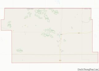
Online Interactive Map
Click on ![]() to view map in "full screen" mode.
to view map in "full screen" mode.
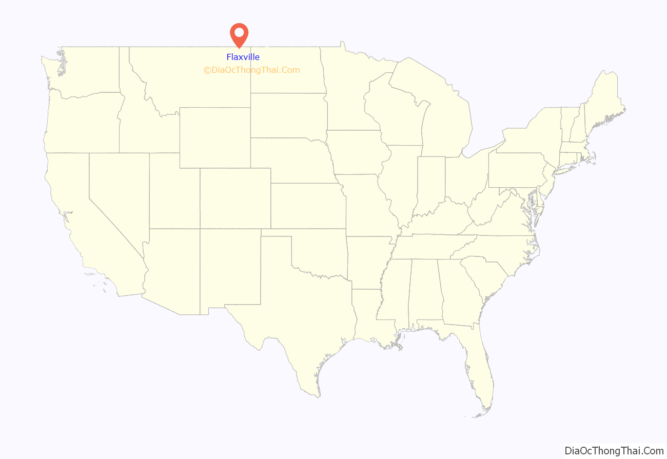
Flaxville location map. Where is Flaxville town?
History
“Flaxville was originally founded as Boyer, about 2.5 miles southwest of where the town is now.” It was named after “the Henry Boyer family at whose home the early railroad construction workers were fed.” The current town was founded in 1913 following the arrival of a Great Northern Railway branch line that eventually ran from Bainville to Opheim. “The first post office was established in 1914 with Martha Bledsoe as postmaster.”
The name refers to the abundance of flax grown in the area. There are grain elevators beside the railroad tracks running through town.
The town was incorporated in 1955. It is home to the Daniels County Chapter of Pheasants Forever, The Barn Theater, Country Roads Mini Horses, and the R-Y Trail Bar.
Printmaker Don Bunse (1934 – 1994), who taught at University of Montana and developed collagraphy with a group of artists, was born in Flaxville. “He was a delegate for the University of Montana in the first academic art exchange between the United States and the People’s Republic of China.”
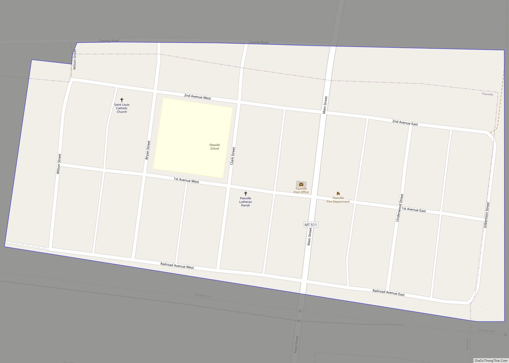
Flaxville Road Map
Flaxville city Satellite Map
Geography
Flaxville is located at 48°48′13″N 105°10′25″W / 48.80361°N 105.17361°W / 48.80361; -105.17361 (48.803733, -105.173704), just south of the Canada–US border, at the junction of Highway 251 and Montana Highway 5.
According to the United States Census Bureau, the town has a total area of 0.10 square miles (0.26 km), all land.
Whitetail Reservoir, a state fishing access site, is located “7 miles north of Flaxville on Highway 511.” The town’s K-Y Trail Bar is named after a historic route. Merv Blevins, who farms in Bengough, Saskatchewan and Flaxville, Montana, describes the K-Y Trail as follows:
See also
Map of Montana State and its subdivision:- Beaverhead
- Big Horn
- Blaine
- Broadwater
- Carbon
- Carter
- Cascade
- Chouteau
- Custer
- Daniels
- Dawson
- Deer Lodge
- Fallon
- Fergus
- Flathead
- Gallatin
- Garfield
- Glacier
- Golden Valley
- Granite
- Hill
- Jefferson
- Judith Basin
- Lake
- Lewis and Clark
- Liberty
- Lincoln
- Madison
- McCone
- Meagher
- Mineral
- Missoula
- Musselshell
- Park
- Petroleum
- Phillips
- Pondera
- Powder River
- Powell
- Prairie
- Ravalli
- Richland
- Roosevelt
- Rosebud
- Sanders
- Sheridan
- Silver Bow
- Stillwater
- Sweet Grass
- Teton
- Toole
- Treasure
- Valley
- Wheatland
- Wibaux
- Yellowstone
- Alabama
- Alaska
- Arizona
- Arkansas
- California
- Colorado
- Connecticut
- Delaware
- District of Columbia
- Florida
- Georgia
- Hawaii
- Idaho
- Illinois
- Indiana
- Iowa
- Kansas
- Kentucky
- Louisiana
- Maine
- Maryland
- Massachusetts
- Michigan
- Minnesota
- Mississippi
- Missouri
- Montana
- Nebraska
- Nevada
- New Hampshire
- New Jersey
- New Mexico
- New York
- North Carolina
- North Dakota
- Ohio
- Oklahoma
- Oregon
- Pennsylvania
- Rhode Island
- South Carolina
- South Dakota
- Tennessee
- Texas
- Utah
- Vermont
- Virginia
- Washington
- West Virginia
- Wisconsin
- Wyoming


