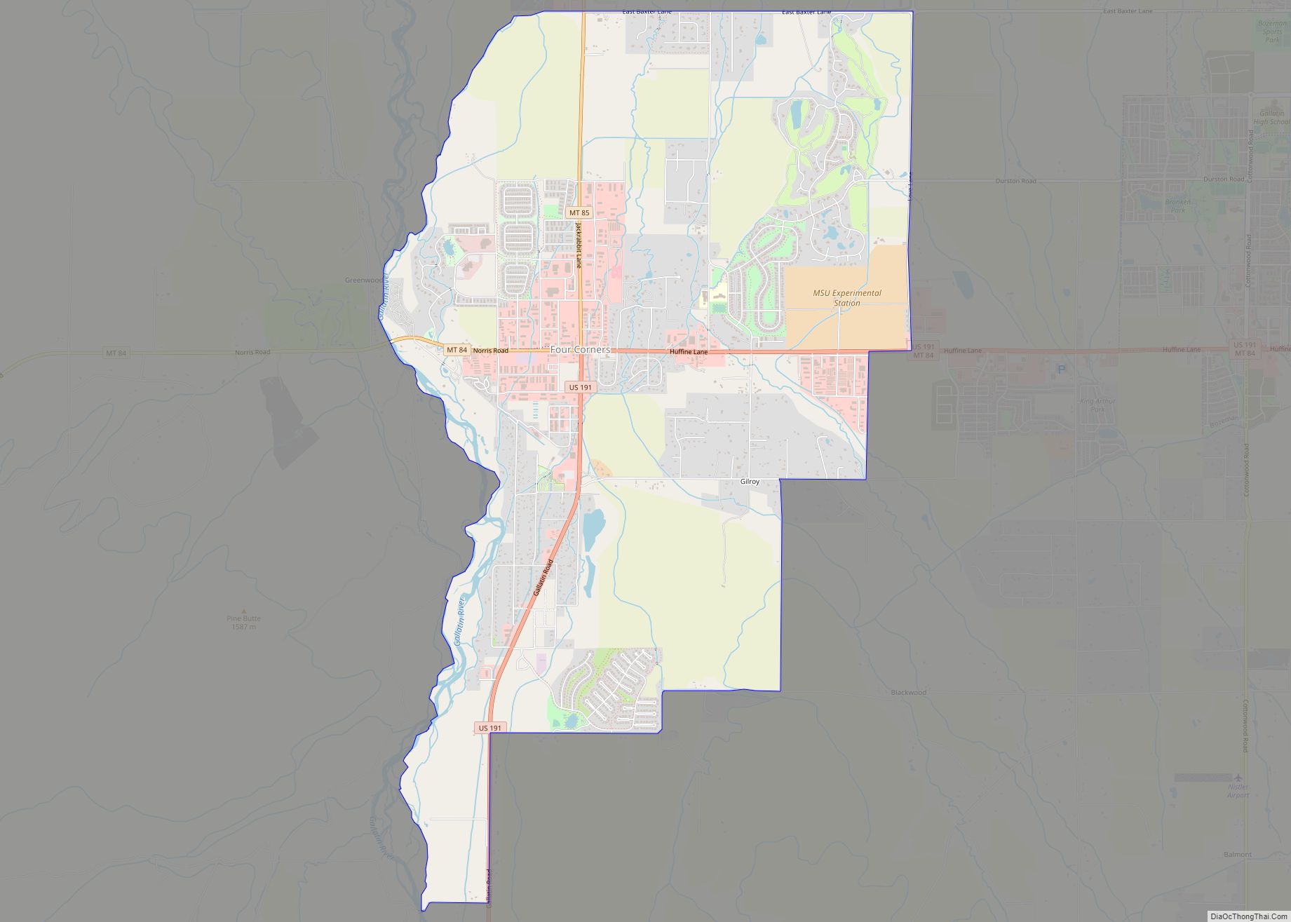
Four Corners is a census-designated place (CDP) in Gallatin County, Montana, United States. The population was 5,901 at the 2020 census, up from 3,146 in 2010. It is part of the Bozeman, MT Micropolitan Statistical Area.
| Name: | Four Corners CDP |
|---|---|
| LSAD Code: | 57 |
| LSAD Description: | CDP (suffix) |
| State: | Montana |
| County: | Gallatin County |
| Elevation: | 4,718 ft (1,438 m) |
| Total Area: | 10.91 sq mi (28.25 km²) |
| Land Area: | 10.84 sq mi (28.08 km²) |
| Water Area: | 0.07 sq mi (0.17 km²) |
| Total Population: | 5,901 |
| Population Density: | 544.22/sq mi (210.12/km²) |
| Area code: | 406 |
| FIPS code: | 3028862 |
| GNISfeature ID: | 2408250 |
Online Interactive Map
Click on ![]() to view map in "full screen" mode.
to view map in "full screen" mode.
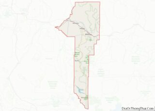
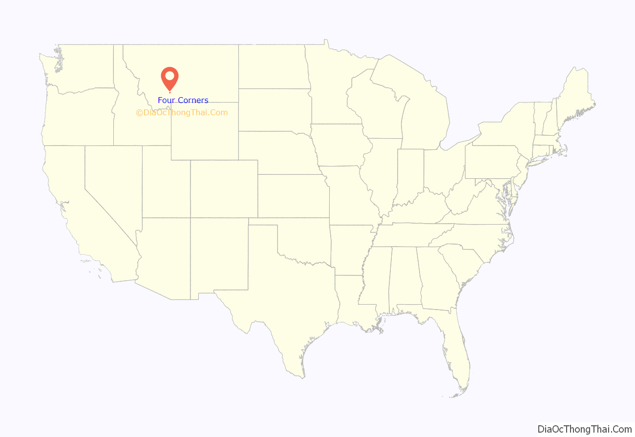
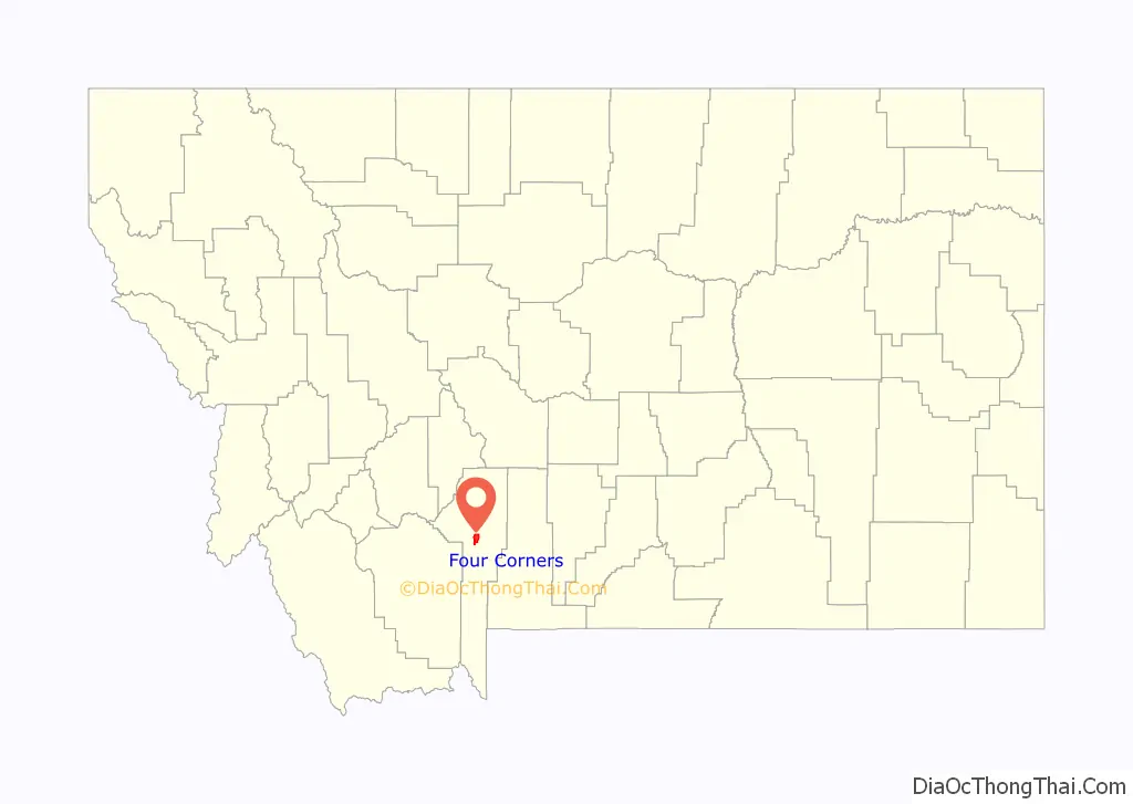
Four Corners location map. Where is Four Corners CDP?
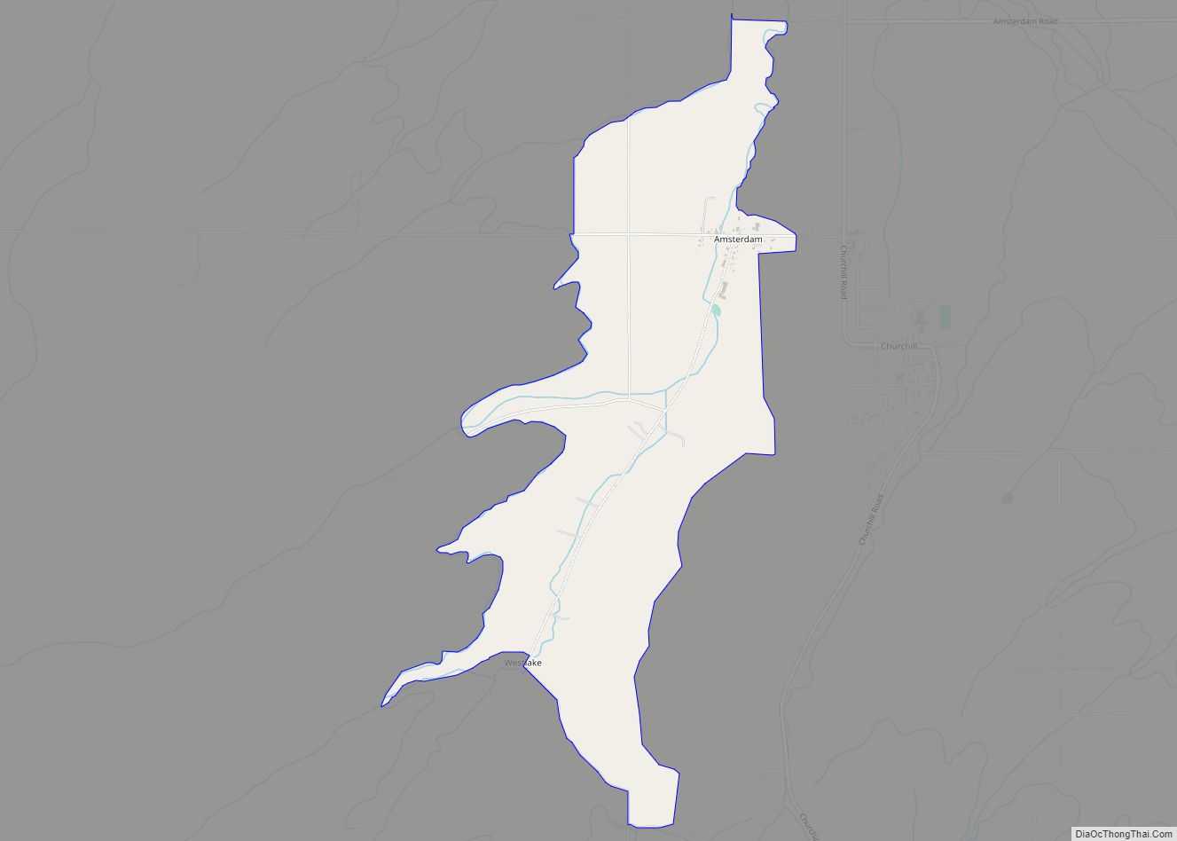
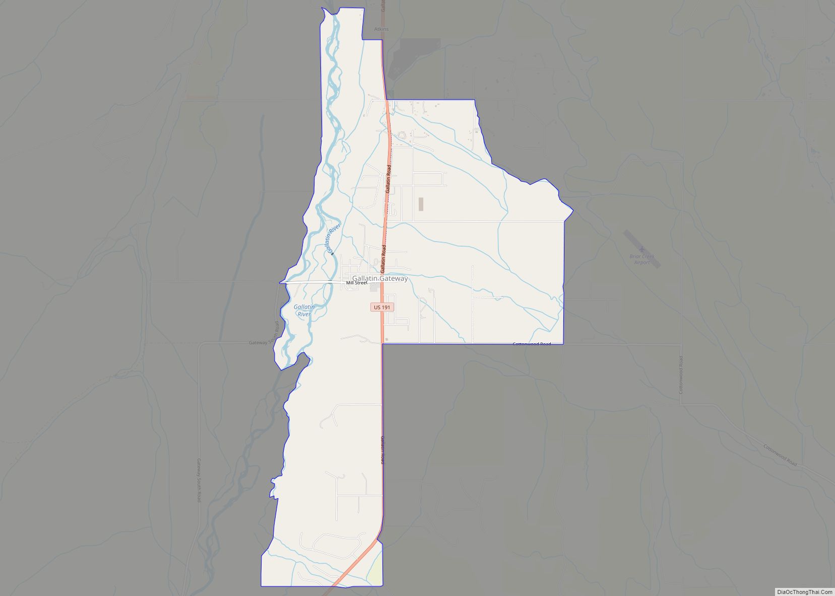
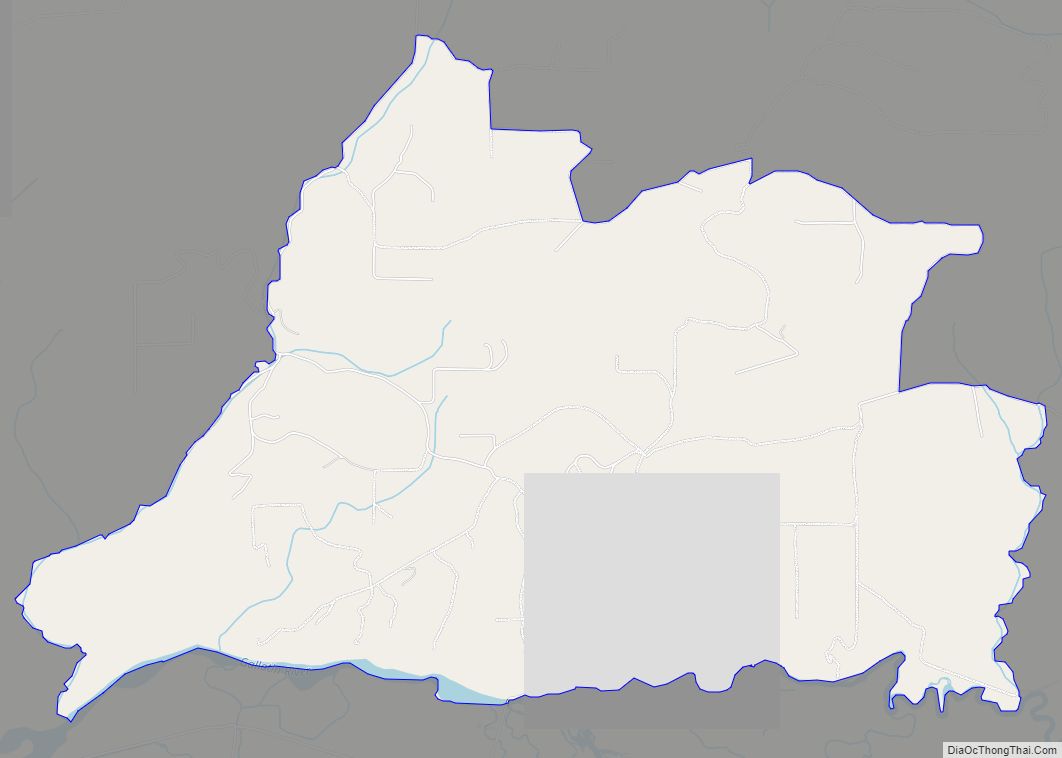
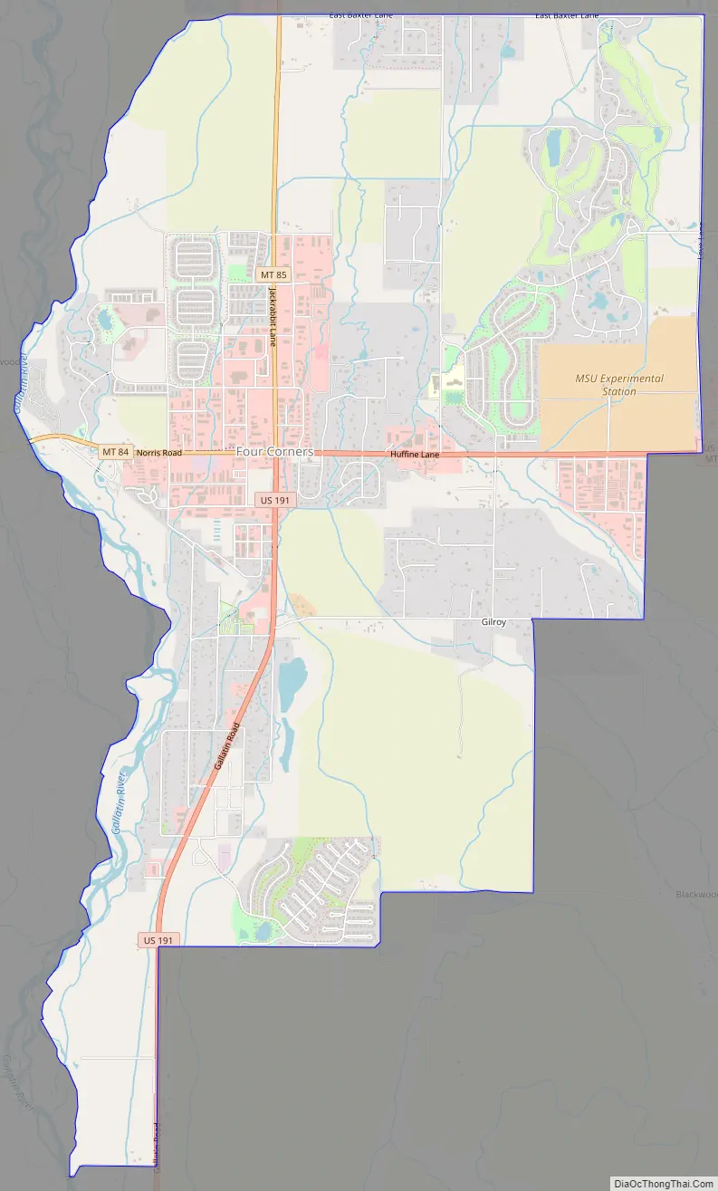
Four Corners Road Map
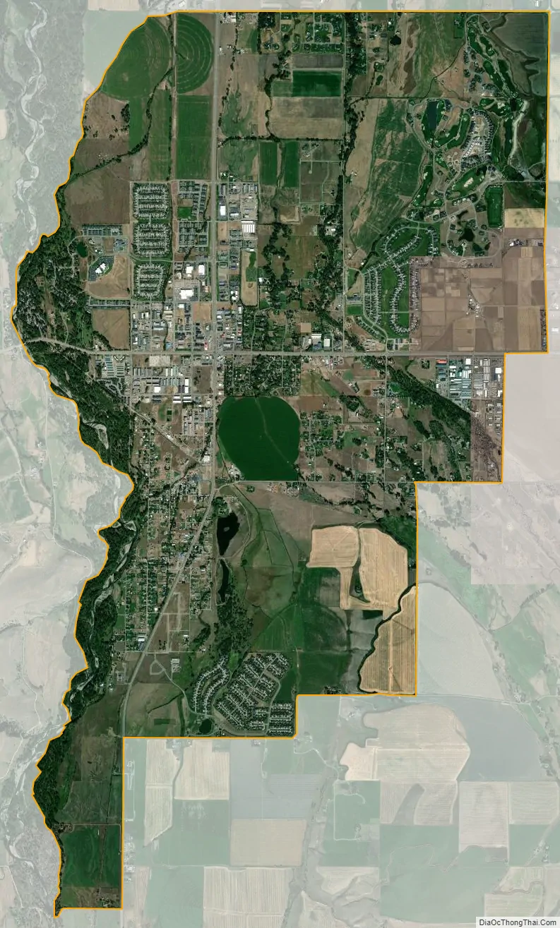
Four Corners city Satellite Map
Geography
Four Corners is located in central Gallatin County at 45°40′4″N 111°10′57″W / 45.66778°N 111.18250°W / 45.66778; -111.18250 (45.667876, -111.182530), 7 miles (11 km) west of Bozeman. The “Four Corners” refers to the intersection of U.S. Route 191, Montana Highway 84 and Montana Highway 85. US 191 leads east to Bozeman and south 82 miles (132 km) to West Yellowstone, MT 84 leads west 29 miles (47 km) to Norris, and MT 85 leads north 9 miles (14 km) to Belgrade and Interstate 90.
According to the United States Census Bureau, the Four Corners CDP has a total area of 10.84 square miles (28.07 km). The Gallatin River, a north-flowing tributary of the Missouri River, forms the western edge of the CDP.
See also
Map of Montana State and its subdivision:- Beaverhead
- Big Horn
- Blaine
- Broadwater
- Carbon
- Carter
- Cascade
- Chouteau
- Custer
- Daniels
- Dawson
- Deer Lodge
- Fallon
- Fergus
- Flathead
- Gallatin
- Garfield
- Glacier
- Golden Valley
- Granite
- Hill
- Jefferson
- Judith Basin
- Lake
- Lewis and Clark
- Liberty
- Lincoln
- Madison
- McCone
- Meagher
- Mineral
- Missoula
- Musselshell
- Park
- Petroleum
- Phillips
- Pondera
- Powder River
- Powell
- Prairie
- Ravalli
- Richland
- Roosevelt
- Rosebud
- Sanders
- Sheridan
- Silver Bow
- Stillwater
- Sweet Grass
- Teton
- Toole
- Treasure
- Valley
- Wheatland
- Wibaux
- Yellowstone
- Alabama
- Alaska
- Arizona
- Arkansas
- California
- Colorado
- Connecticut
- Delaware
- District of Columbia
- Florida
- Georgia
- Hawaii
- Idaho
- Illinois
- Indiana
- Iowa
- Kansas
- Kentucky
- Louisiana
- Maine
- Maryland
- Massachusetts
- Michigan
- Minnesota
- Mississippi
- Missouri
- Montana
- Nebraska
- Nevada
- New Hampshire
- New Jersey
- New Mexico
- New York
- North Carolina
- North Dakota
- Ohio
- Oklahoma
- Oregon
- Pennsylvania
- Rhode Island
- South Carolina
- South Dakota
- Tennessee
- Texas
- Utah
- Vermont
- Virginia
- Washington
- West Virginia
- Wisconsin
- Wyoming