Fox Lake is a census-designated place (CDP) in Richland County, Montana, United States. The population was 158 at the 2010 census.
| Name: | Fox Lake CDP |
|---|---|
| LSAD Code: | 57 |
| LSAD Description: | CDP (suffix) |
| State: | Montana |
| County: | Richland County |
| Elevation: | 2,372 ft (723 m) |
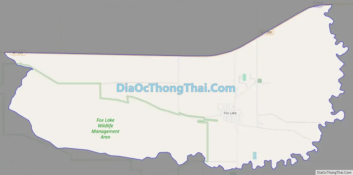
| Total Area: | 5.66 sq mi (14.67 km²) |
| Land Area: | 4.17 sq mi (10.81 km²) |
| Water Area: | 1.49 sq mi (3.86 km²) |
| Total Population: | 231 |
| Population Density: | 55.33/sq mi (21.36/km²) |
| Area code: | 406 |
| FIPS code: | 3029087 |
| GNISfeature ID: | U.S. Geological Survey Geographic Names Information System: Fox Lake |
Online Interactive Map
Click on ![]() to view map in "full screen" mode.
to view map in "full screen" mode.
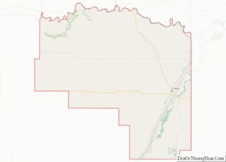
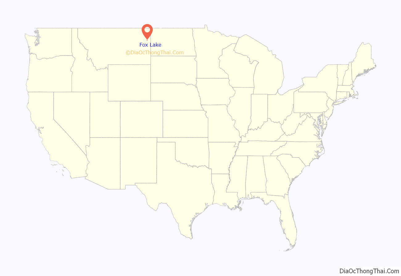
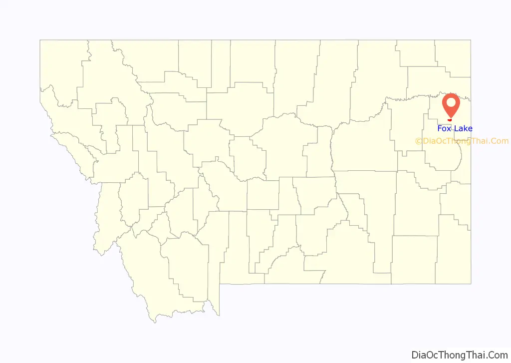
Fox Lake location map. Where is Fox Lake CDP?
History
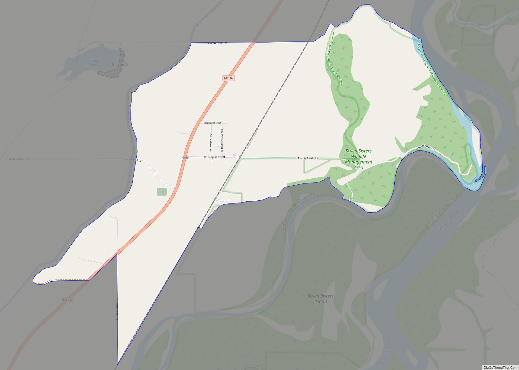
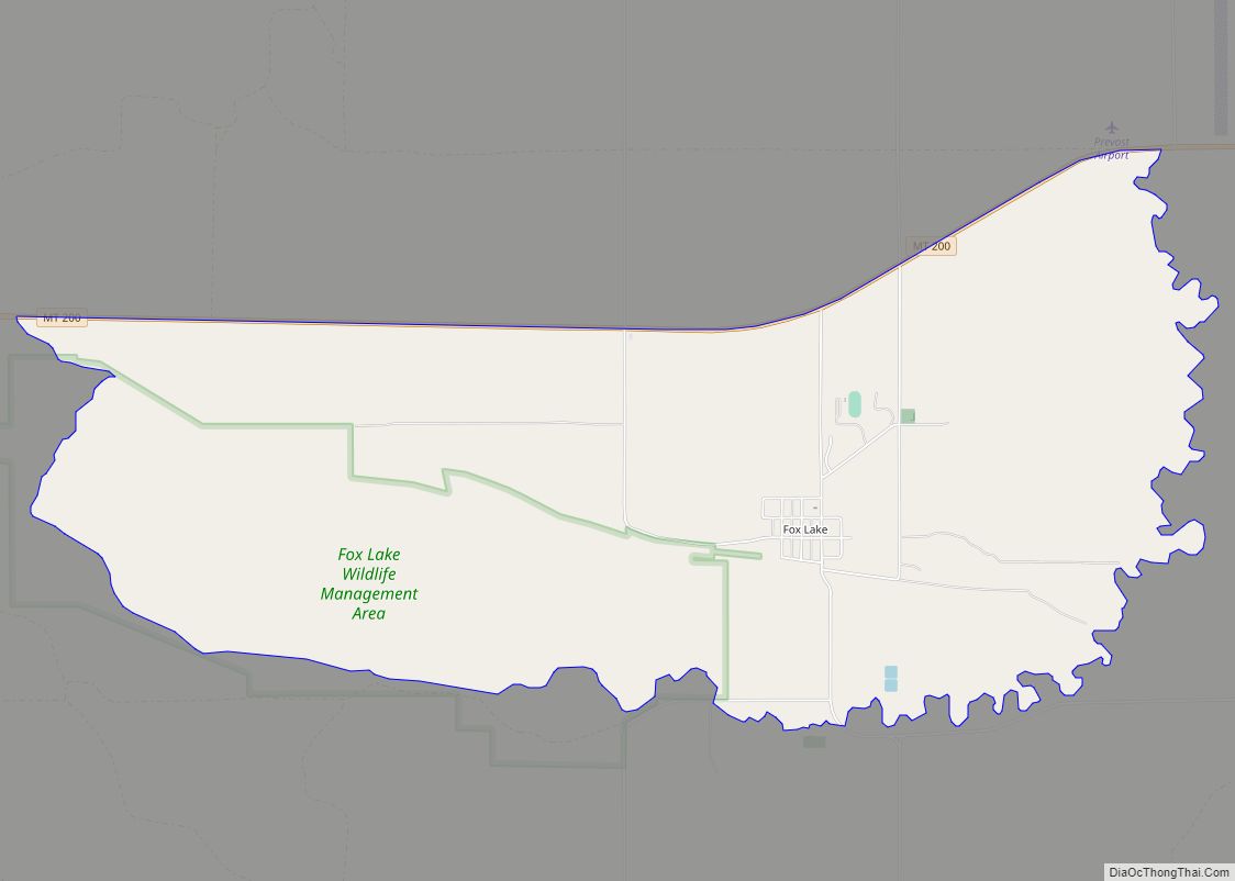
Within the CDP, as well as the settlement of Fox Lake, is located the settlement of Lambert. Lambert was built as a station stop along the Great Northern Railway branch line extending west from Sidney, Montana. Due to the station’s proximity to Fox Lake, the post office was originally named Fox Lake. The Lambert post office was established in 1914 with Edmund Bronson as the local postmaster.
Fox Lake Road Map
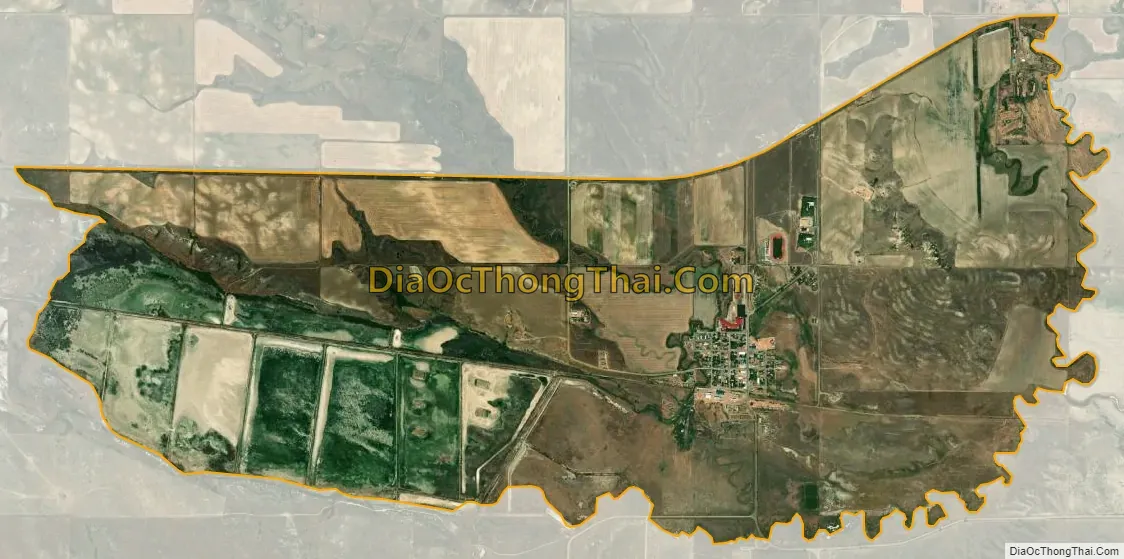
Fox Lake city Satellite Map
Geography
Fox Lake is located at 47°41′3″N 104°37′30″W / 47.68417°N 104.62500°W / 47.68417; -104.62500 (47.684208, -104.625103), 21 miles (34 km) west of Sidney on Montana Highway 200 near the Fox Lake Wildlife Management Area.
According to the United States Census Bureau, the CDP has a total area of 5.7 square miles (14.8 km), of which 4.2 square miles (10.9 km) is land and 1.5 square miles (3.9 km) (26.14%) is water.
See also
Map of Montana State and its subdivision:- Beaverhead
- Big Horn
- Blaine
- Broadwater
- Carbon
- Carter
- Cascade
- Chouteau
- Custer
- Daniels
- Dawson
- Deer Lodge
- Fallon
- Fergus
- Flathead
- Gallatin
- Garfield
- Glacier
- Golden Valley
- Granite
- Hill
- Jefferson
- Judith Basin
- Lake
- Lewis and Clark
- Liberty
- Lincoln
- Madison
- McCone
- Meagher
- Mineral
- Missoula
- Musselshell
- Park
- Petroleum
- Phillips
- Pondera
- Powder River
- Powell
- Prairie
- Ravalli
- Richland
- Roosevelt
- Rosebud
- Sanders
- Sheridan
- Silver Bow
- Stillwater
- Sweet Grass
- Teton
- Toole
- Treasure
- Valley
- Wheatland
- Wibaux
- Yellowstone
- Alabama
- Alaska
- Arizona
- Arkansas
- California
- Colorado
- Connecticut
- Delaware
- District of Columbia
- Florida
- Georgia
- Hawaii
- Idaho
- Illinois
- Indiana
- Iowa
- Kansas
- Kentucky
- Louisiana
- Maine
- Maryland
- Massachusetts
- Michigan
- Minnesota
- Mississippi
- Missouri
- Montana
- Nebraska
- Nevada
- New Hampshire
- New Jersey
- New Mexico
- New York
- North Carolina
- North Dakota
- Ohio
- Oklahoma
- Oregon
- Pennsylvania
- Rhode Island
- South Carolina
- South Dakota
- Tennessee
- Texas
- Utah
- Vermont
- Virginia
- Washington
- West Virginia
- Wisconsin
- Wyoming