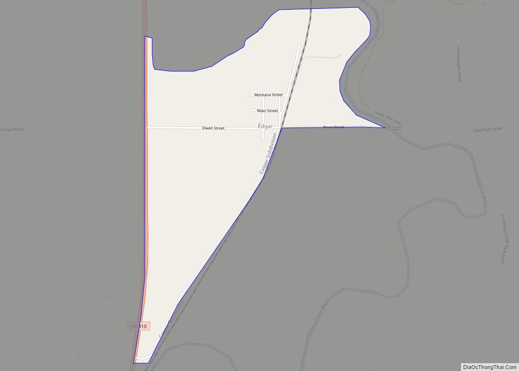
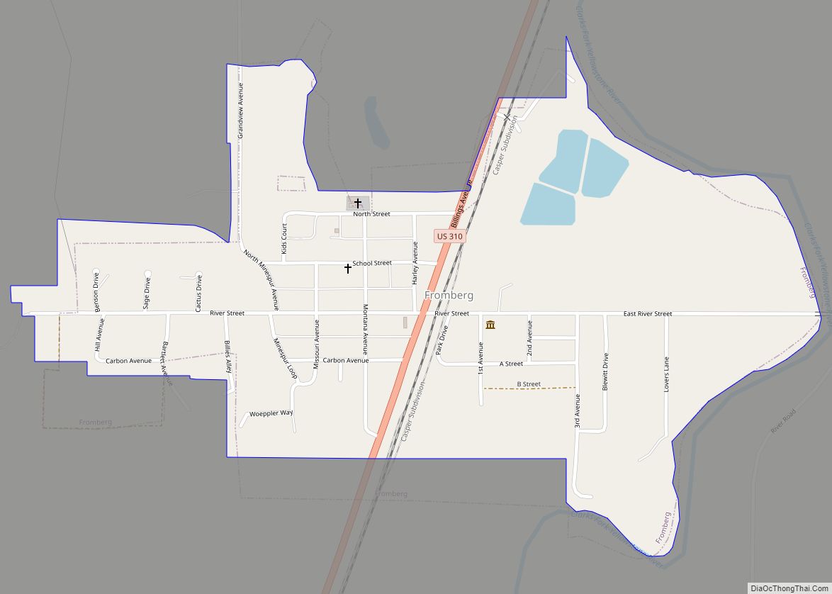
Fromberg is a town in Carbon County, Montana, United States. As of the 2020 census, the population of the town was 392.
| Name: | Fromberg town |
|---|---|
| LSAD Code: | 43 |
| LSAD Description: | town (suffix) |
| State: | Montana |
| County: | Carbon County |
| Elevation: | 3,534 ft (1,077 m) |
| Total Area: | 0.45 sq mi (1.16 km²) |
| Land Area: | 0.44 sq mi (1.15 km²) |
| Water Area: | 0.00 sq mi (0.01 km²) |
| Total Population: | 392 |
| Population Density: | 882.88/sq mi (341.21/km²) |
| ZIP code: | 59029 |
| Area code: | 406 |
| FIPS code: | 3029575 |
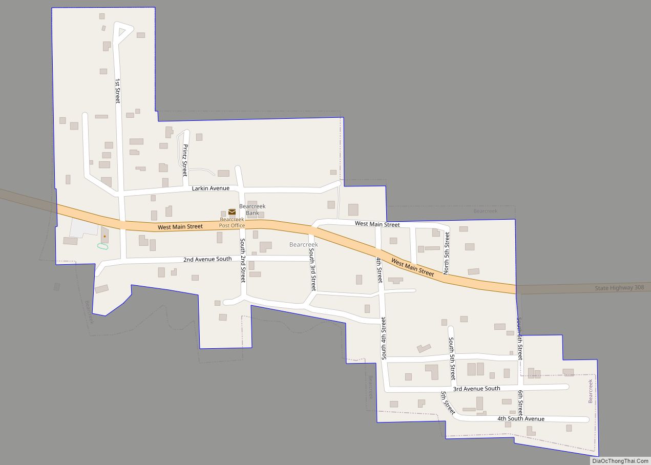
Online Interactive Map
Click on ![]() to view map in "full screen" mode.
to view map in "full screen" mode.
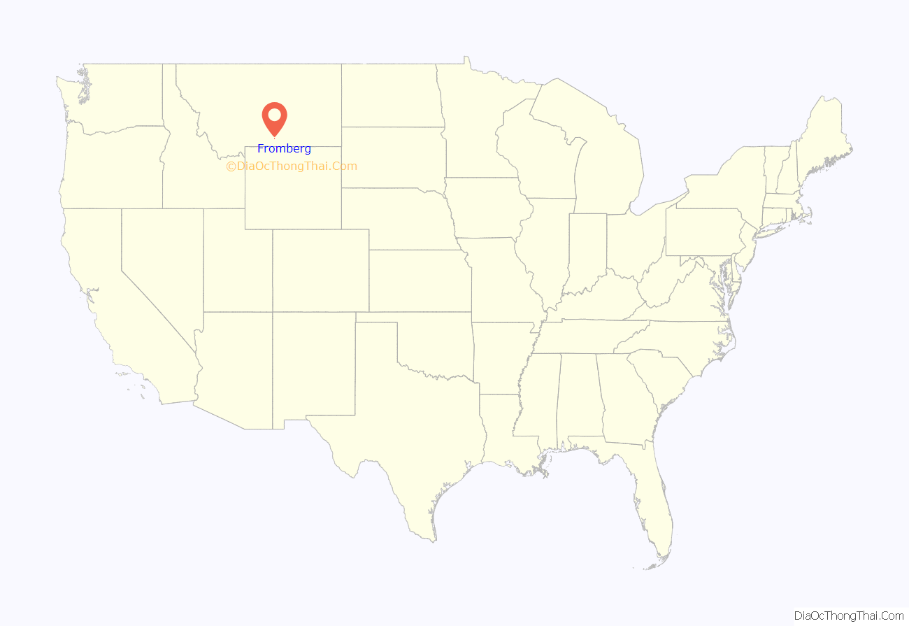
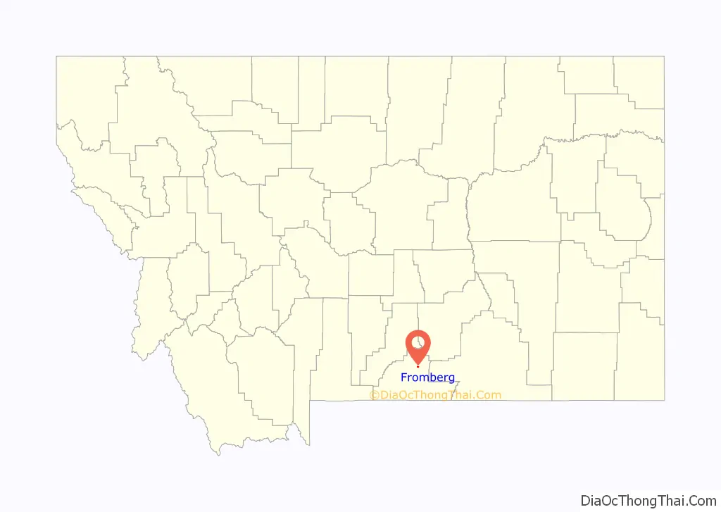
Fromberg location map. Where is Fromberg town?
History
The community is near the Gebo Mine, developed by Samuel Gebo, a coal mine nearby. Coalville, Montana, also known as Gebo, Montana was the community closer to the coal mine itself.
The Fromberg Post Office was established on March 21, 1903, with Abraham Pierson as the town’s first postmaster. The town was named after Northern Pacific stockholder Conrad Fromberg.
The Gebo Barn, 2.5 miles to the south on Gebo Ranch, was completed in 1909 and is listed on the National Register of Historic Places.
Fromberg was heavily affected by the 2022 Montana floods.
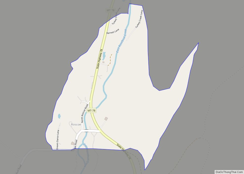
Fromberg Road Map
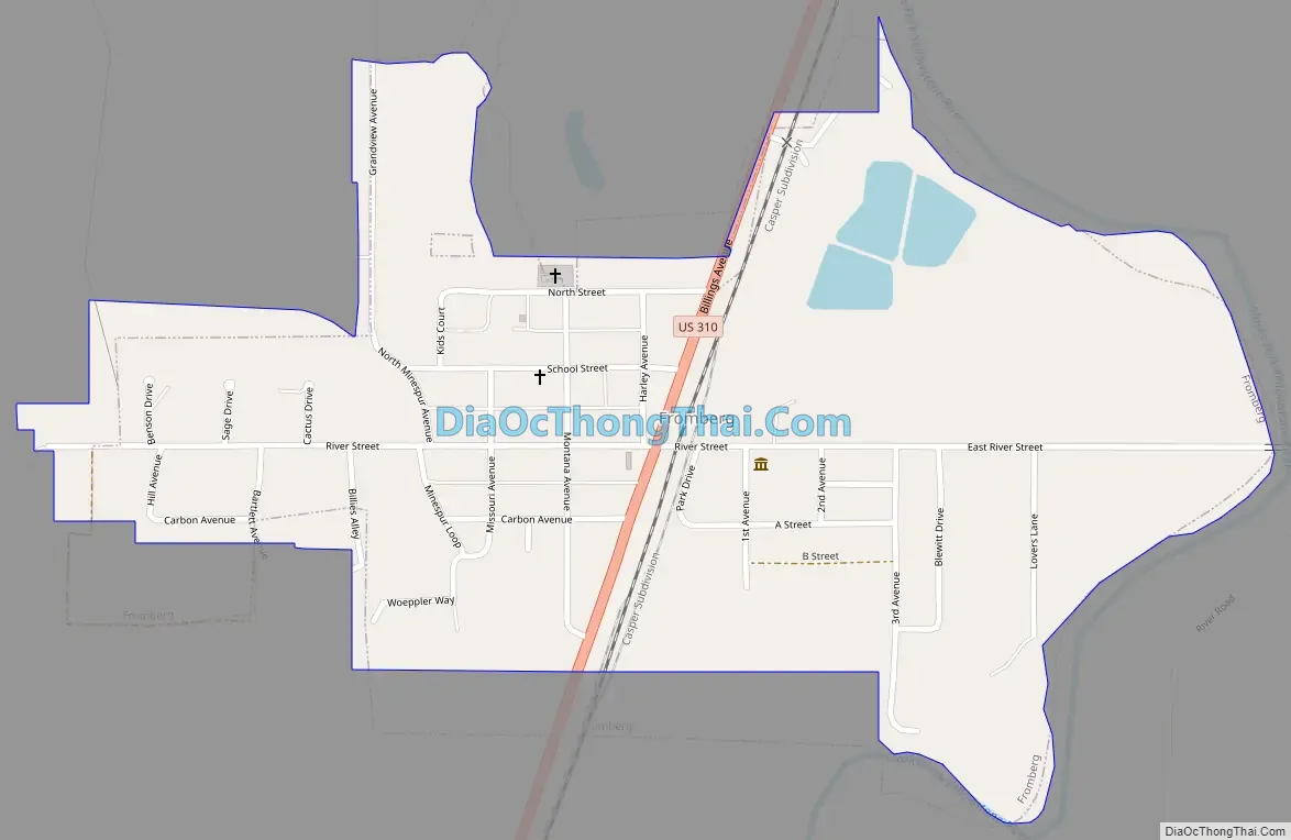
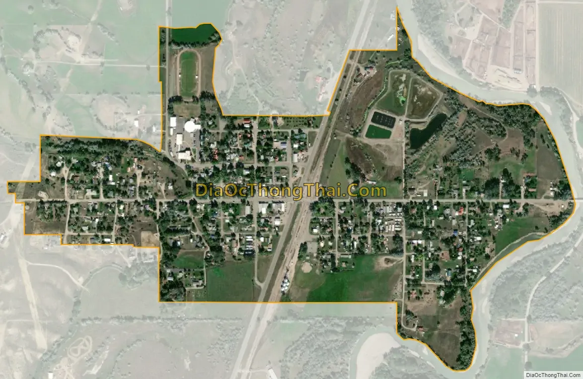
Fromberg city Satellite Map
Geography
Fromberg is located at 45°23′30″N 108°54′31″W / 45.39167°N 108.90861°W / 45.39167; -108.90861 (45.391656, -108.908650). Montana Secondary Highway 310 and the Chicago, Burlington and Quincy Railroad run through town. The Clarks Fork Yellowstone River flows past the east side of the community.
According to the United States Census Bureau, the town has a total area of 0.48 square miles (1.24 km), all land.
Climate
The Köppen Climate Classification subtype for this climate is “BSk” (Tropical and Subtropical Steppe Climate).
See also
Map of Montana State and its subdivision:- Beaverhead
- Big Horn
- Blaine
- Broadwater
- Carbon
- Carter
- Cascade
- Chouteau
- Custer
- Daniels
- Dawson
- Deer Lodge
- Fallon
- Fergus
- Flathead
- Gallatin
- Garfield
- Glacier
- Golden Valley
- Granite
- Hill
- Jefferson
- Judith Basin
- Lake
- Lewis and Clark
- Liberty
- Lincoln
- Madison
- McCone
- Meagher
- Mineral
- Missoula
- Musselshell
- Park
- Petroleum
- Phillips
- Pondera
- Powder River
- Powell
- Prairie
- Ravalli
- Richland
- Roosevelt
- Rosebud
- Sanders
- Sheridan
- Silver Bow
- Stillwater
- Sweet Grass
- Teton
- Toole
- Treasure
- Valley
- Wheatland
- Wibaux
- Yellowstone
- Alabama
- Alaska
- Arizona
- Arkansas
- California
- Colorado
- Connecticut
- Delaware
- District of Columbia
- Florida
- Georgia
- Hawaii
- Idaho
- Illinois
- Indiana
- Iowa
- Kansas
- Kentucky
- Louisiana
- Maine
- Maryland
- Massachusetts
- Michigan
- Minnesota
- Mississippi
- Missouri
- Montana
- Nebraska
- Nevada
- New Hampshire
- New Jersey
- New Mexico
- New York
- North Carolina
- North Dakota
- Ohio
- Oklahoma
- Oregon
- Pennsylvania
- Rhode Island
- South Carolina
- South Dakota
- Tennessee
- Texas
- Utah
- Vermont
- Virginia
- Washington
- West Virginia
- Wisconsin
- Wyoming