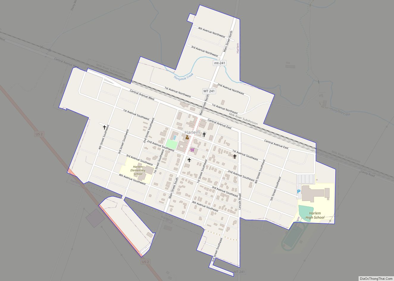
Harlem is a city in Blaine County, Montana, United States. The population was 769 at the 2020 census.
The Fort Belknap Indian Reservation is just south of the town, across the Milk River.
Like other towns along the Hi-Line, Great Northern Railway officials chose the name of a European city for this new town. In this case it was Haarlem, in the Netherlands. A. A. Cecil platted the townsite in 1889.
| Name: | Harlem city |
|---|---|
| LSAD Code: | 25 |
| LSAD Description: | city (suffix) |
| State: | Montana |
| County: | Blaine County |
| Elevation: | 2,365 ft (721 m) |
| Total Area: | 0.42 sq mi (1.08 km²) |
| Land Area: | 0.42 sq mi (1.08 km²) |
| Water Area: | 0.00 sq mi (0.00 km²) |
| Total Population: | 769 |
| Population Density: | 1,839.71/sq mi (709.82/km²) |
| ZIP code: | 59526 |
| Area code: | 406 |
| FIPS code: | 3034375 |
| GNISfeature ID: | 0772152 |
| Website: | www.cityofharlemmontana.com |
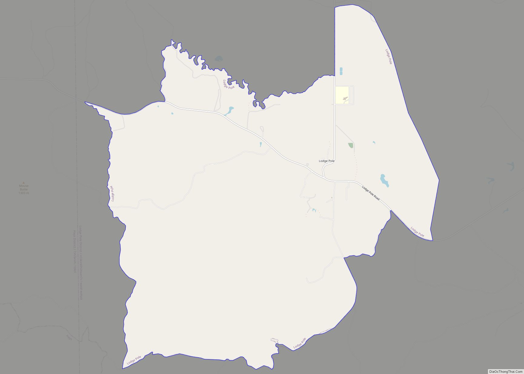
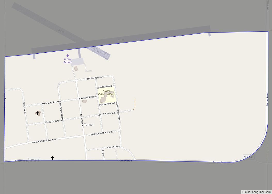
Online Interactive Map
Click on ![]() to view map in "full screen" mode.
to view map in "full screen" mode.
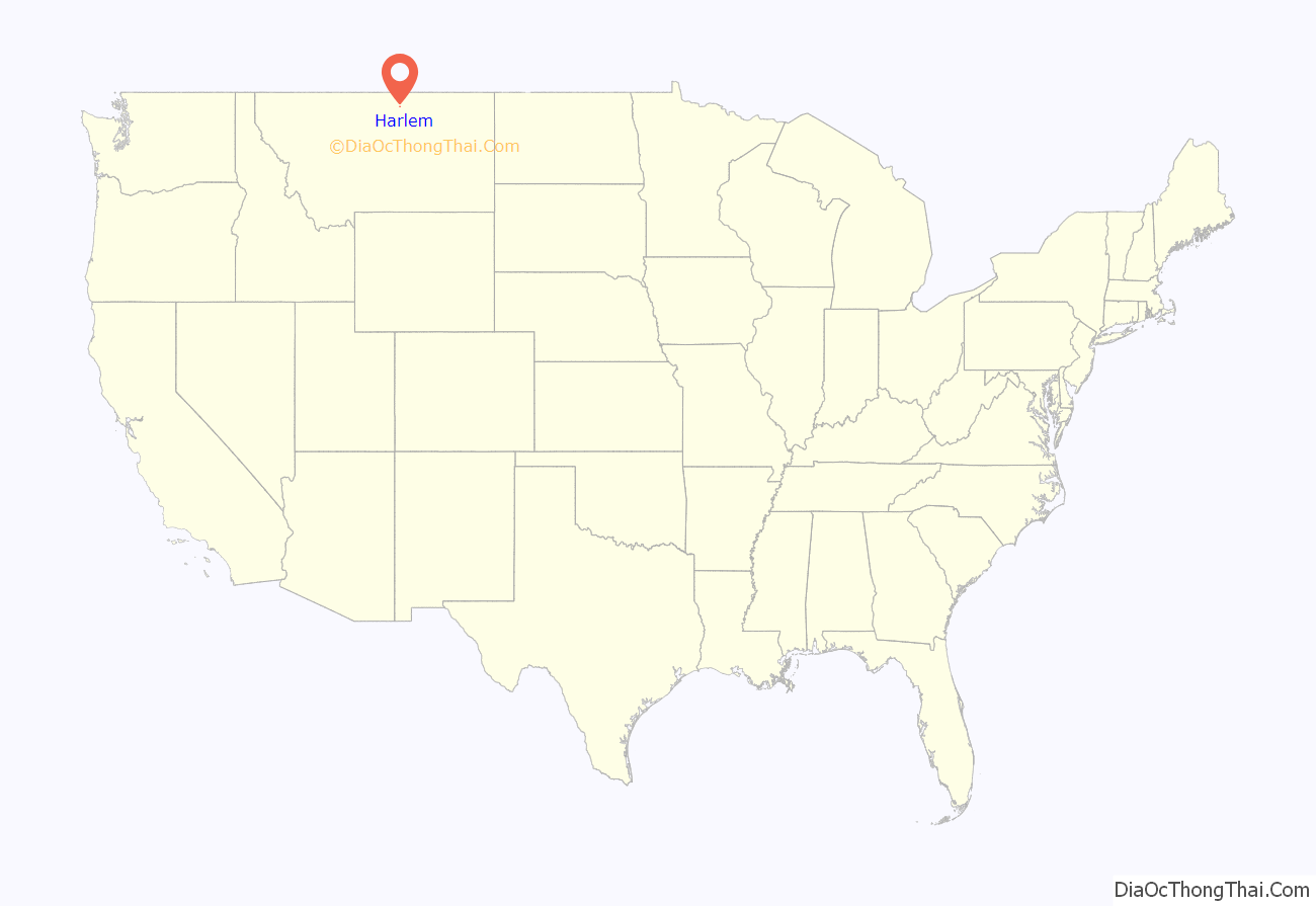
Harlem location map. Where is Harlem city?
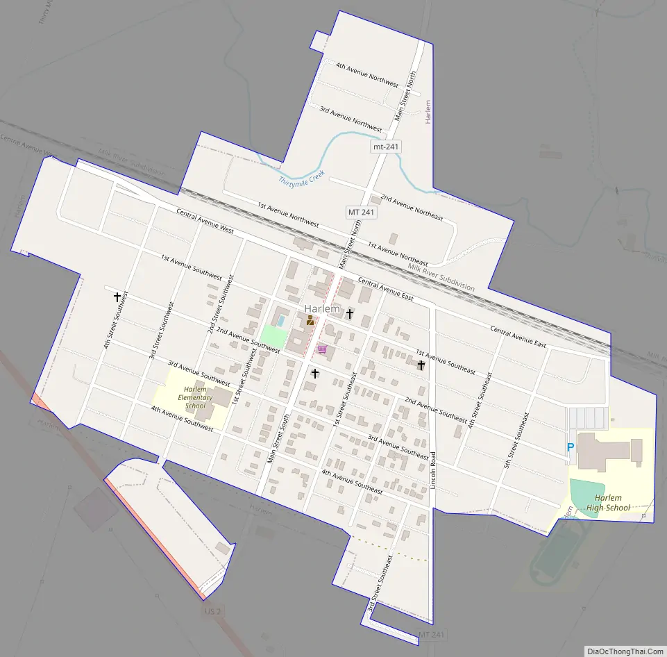
Harlem Road Map
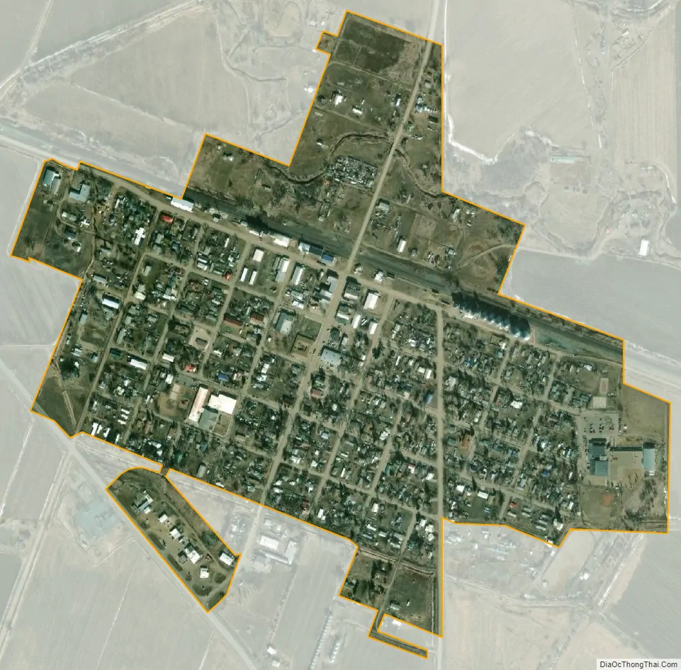
Harlem city Satellite Map
Geography
Harlem is located at 48°31′54″N 108°47′4″W / 48.53167°N 108.78444°W / 48.53167; -108.78444 (48.531752, -108.784407). It is located along U.S. Route 2.
According to the United States Census Bureau, the city has a total area of 0.43 square miles (1.11 km), all land.
See also
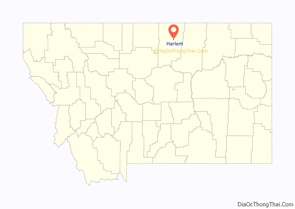
Map of Montana State and its subdivision:- Beaverhead
- Big Horn
- Blaine
- Broadwater
- Carbon
- Carter
- Cascade
- Chouteau
- Custer
- Daniels
- Dawson
- Deer Lodge
- Fallon
- Fergus
- Flathead
- Gallatin
- Garfield
- Glacier
- Golden Valley
- Granite
- Hill
- Jefferson
- Judith Basin
- Lake
- Lewis and Clark
- Liberty
- Lincoln
- Madison
- McCone
- Meagher
- Mineral
- Missoula
- Musselshell
- Park
- Petroleum
- Phillips
- Pondera
- Powder River
- Powell
- Prairie
- Ravalli
- Richland
- Roosevelt
- Rosebud
- Sanders
- Sheridan
- Silver Bow
- Stillwater
- Sweet Grass
- Teton
- Toole
- Treasure
- Valley
- Wheatland
- Wibaux
- Yellowstone
- Alabama
- Alaska
- Arizona
- Arkansas
- California
- Colorado
- Connecticut
- Delaware
- District of Columbia
- Florida
- Georgia
- Hawaii
- Idaho
- Illinois
- Indiana
- Iowa
- Kansas
- Kentucky
- Louisiana
- Maine
- Maryland
- Massachusetts
- Michigan
- Minnesota
- Mississippi
- Missouri
- Montana
- Nebraska
- Nevada
- New Hampshire
- New Jersey
- New Mexico
- New York
- North Carolina
- North Dakota
- Ohio
- Oklahoma
- Oregon
- Pennsylvania
- Rhode Island
- South Carolina
- South Dakota
- Tennessee
- Texas
- Utah
- Vermont
- Virginia
- Washington
- West Virginia
- Wisconsin
- Wyoming