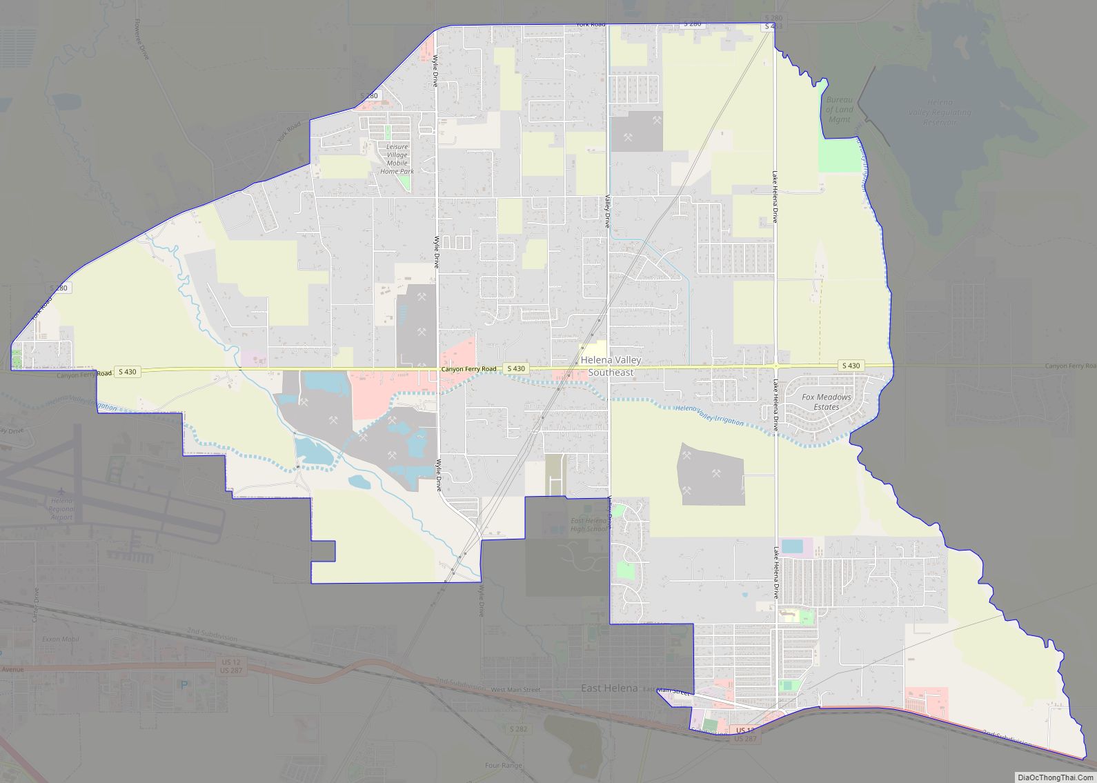
Helena Valley Southeast is a census-designated place (CDP) in Lewis and Clark County, Montana, United States. The population was 8,227 at the 2010 census. It is part of the Helena Micropolitan Statistical Area.
| Name: | Helena Valley Southeast CDP |
|---|---|
| LSAD Code: | 57 |
| LSAD Description: | CDP (suffix) |
| State: | Montana |
| County: | Lewis and Clark County |
| Elevation: | 3,810 ft (1,160 m) |
| Total Area: | 22.41 sq mi (58.04 km²) |
| Land Area: | 21.47 sq mi (55.61 km²) |
| Water Area: | 0.94 sq mi (2.44 km²) |
| Total Population: | 9,168 |
| Population Density: | 427.01/sq mi (164.87/km²) |
| Area code: | 406 |
| FIPS code: | 3035634 |
Online Interactive Map
Click on ![]() to view map in "full screen" mode.
to view map in "full screen" mode.
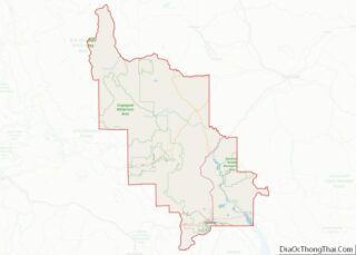
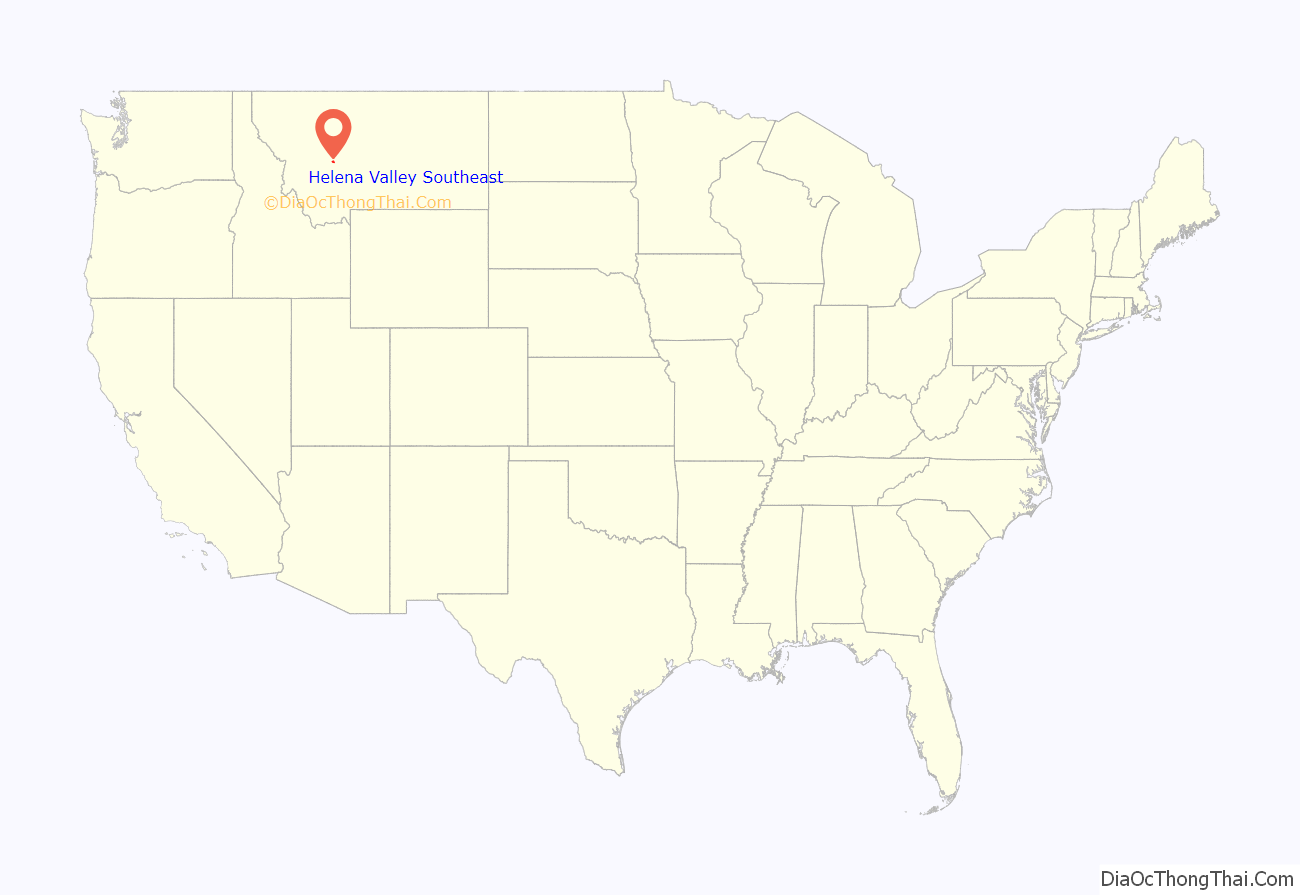
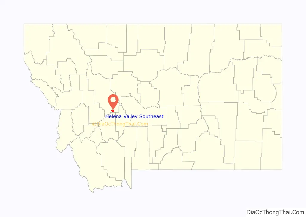
Helena Valley Southeast location map. Where is Helena Valley Southeast CDP?
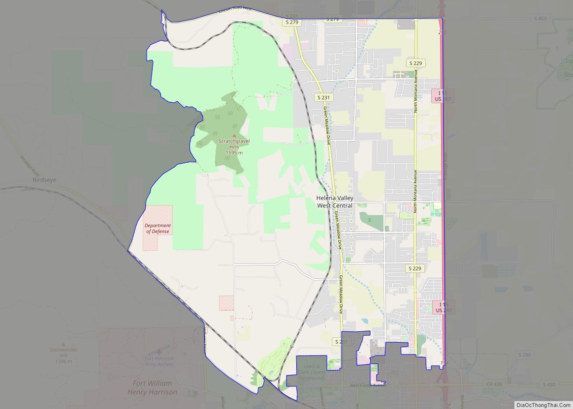
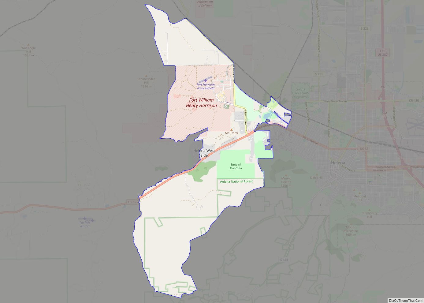
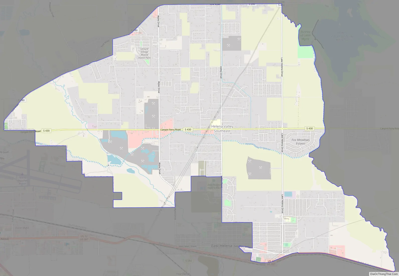
Helena Valley Southeast Road Map
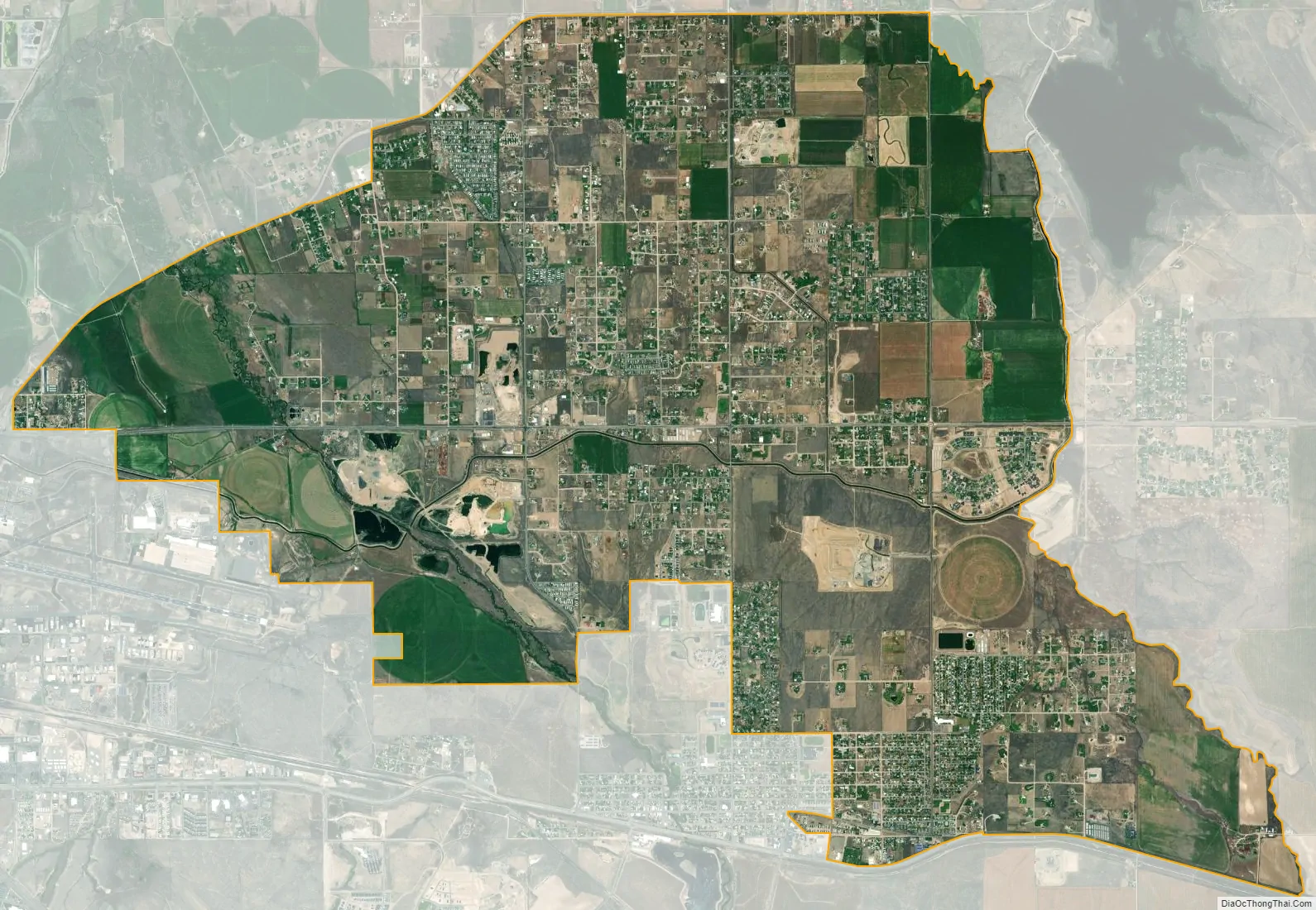
Helena Valley Southeast city Satellite Map
Geography
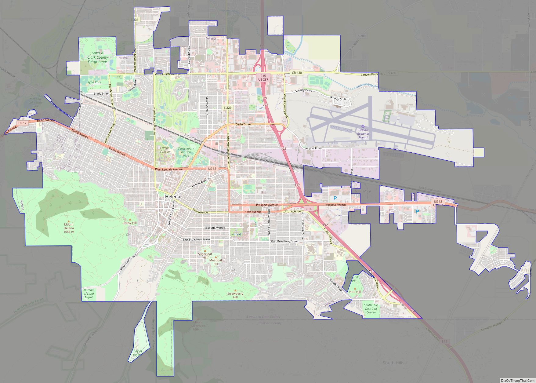
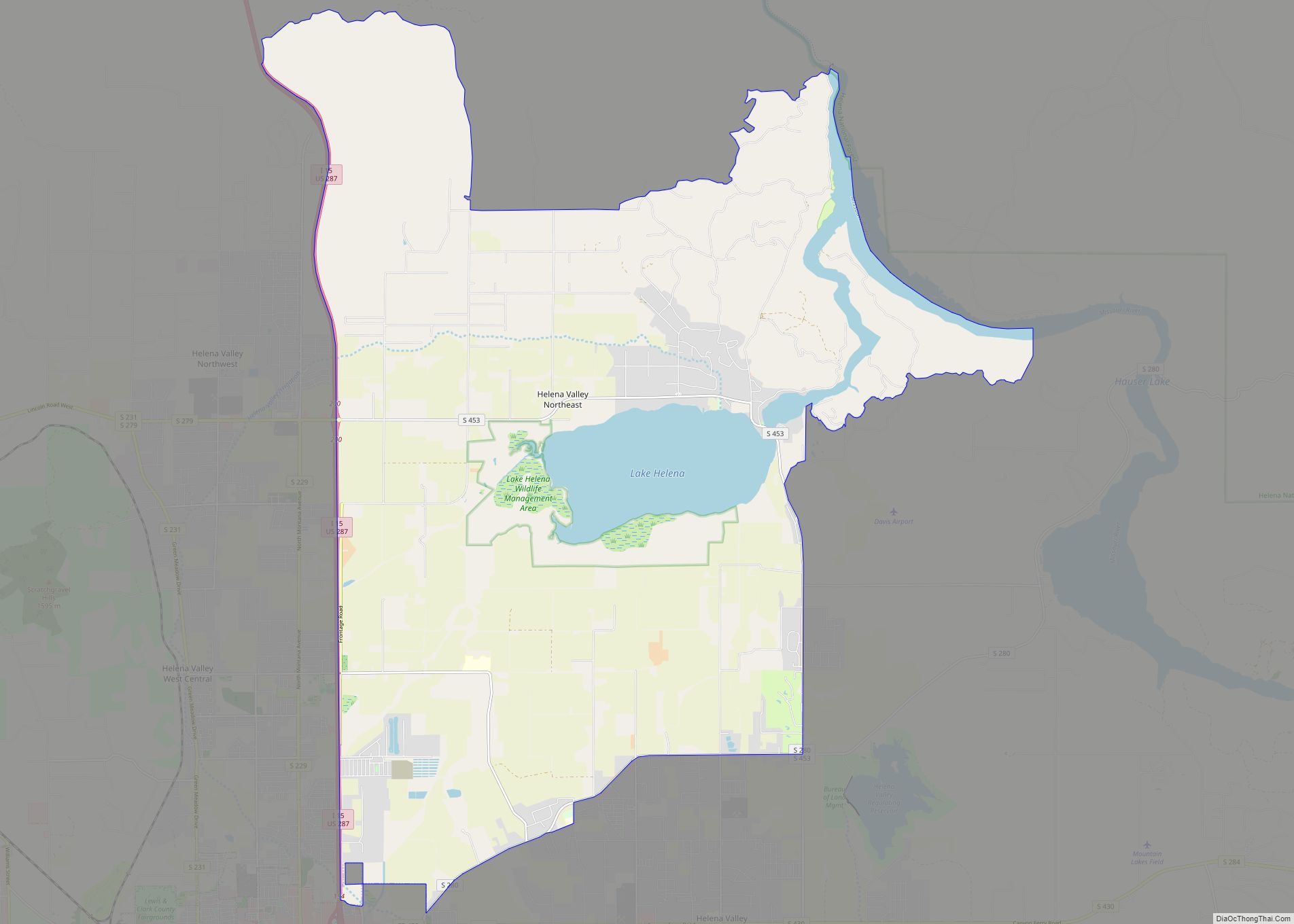
Helena Valley Southeast is located in southern Lewis and Clark County at 46°36′41″N 111°55′24″W / 46.61139°N 111.92333°W / 46.61139; -111.92333 (46.611392, -111.923425). It is bordered to the southwest by the city of Helena, the state capital, and to the south by the city of East Helena. To the north it is bordered by the Helena Valley Northeast CDP.
Canyon Ferry Road is the main east-west street through the community. Downtown Helena is approximately 7 miles (11 km) southwest of the center of the CDP.
According to the United States Census Bureau, the CDP has a total area of 14.4 square miles (37.2 km), of which 0.04 square miles (0.1 km), or 0.37%, is water.
See also
Map of Montana State and its subdivision:- Beaverhead
- Big Horn
- Blaine
- Broadwater
- Carbon
- Carter
- Cascade
- Chouteau
- Custer
- Daniels
- Dawson
- Deer Lodge
- Fallon
- Fergus
- Flathead
- Gallatin
- Garfield
- Glacier
- Golden Valley
- Granite
- Hill
- Jefferson
- Judith Basin
- Lake
- Lewis and Clark
- Liberty
- Lincoln
- Madison
- McCone
- Meagher
- Mineral
- Missoula
- Musselshell
- Park
- Petroleum
- Phillips
- Pondera
- Powder River
- Powell
- Prairie
- Ravalli
- Richland
- Roosevelt
- Rosebud
- Sanders
- Sheridan
- Silver Bow
- Stillwater
- Sweet Grass
- Teton
- Toole
- Treasure
- Valley
- Wheatland
- Wibaux
- Yellowstone
- Alabama
- Alaska
- Arizona
- Arkansas
- California
- Colorado
- Connecticut
- Delaware
- District of Columbia
- Florida
- Georgia
- Hawaii
- Idaho
- Illinois
- Indiana
- Iowa
- Kansas
- Kentucky
- Louisiana
- Maine
- Maryland
- Massachusetts
- Michigan
- Minnesota
- Mississippi
- Missouri
- Montana
- Nebraska
- Nevada
- New Hampshire
- New Jersey
- New Mexico
- New York
- North Carolina
- North Dakota
- Ohio
- Oklahoma
- Oregon
- Pennsylvania
- Rhode Island
- South Carolina
- South Dakota
- Tennessee
- Texas
- Utah
- Vermont
- Virginia
- Washington
- West Virginia
- Wisconsin
- Wyoming