Hingham is a town in Hill County, Montana, United States. Its economy is largely agricultural. The population was 131 at the 2020 census.
| Name: | Hingham town |
|---|---|
| LSAD Code: | 43 |
| LSAD Description: | town (suffix) |
| State: | Montana |
| County: | Hill County |
| Elevation: | 3,031 ft (924 m) |
| Total Area: | 0.17 sq mi (0.44 km²) |
| Land Area: | 0.17 sq mi (0.44 km²) |
| Water Area: | 0.00 sq mi (0.00 km²) |
| Total Population: | 131 |
| Population Density: | 761.63/sq mi (294.49/km²) |
| ZIP code: | 59528 |
| Area code: | 406 |
| FIPS code: | 3036400 |
| GNISfeature ID: | 0772428 |
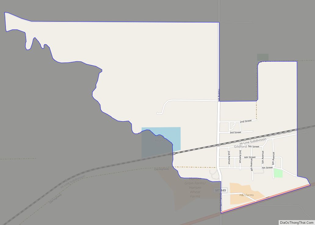
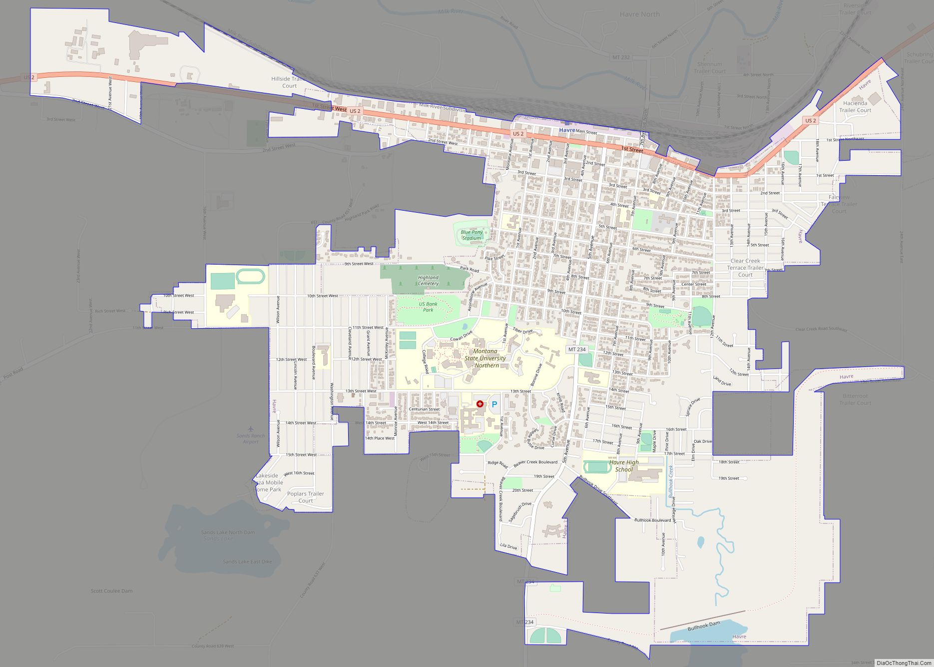
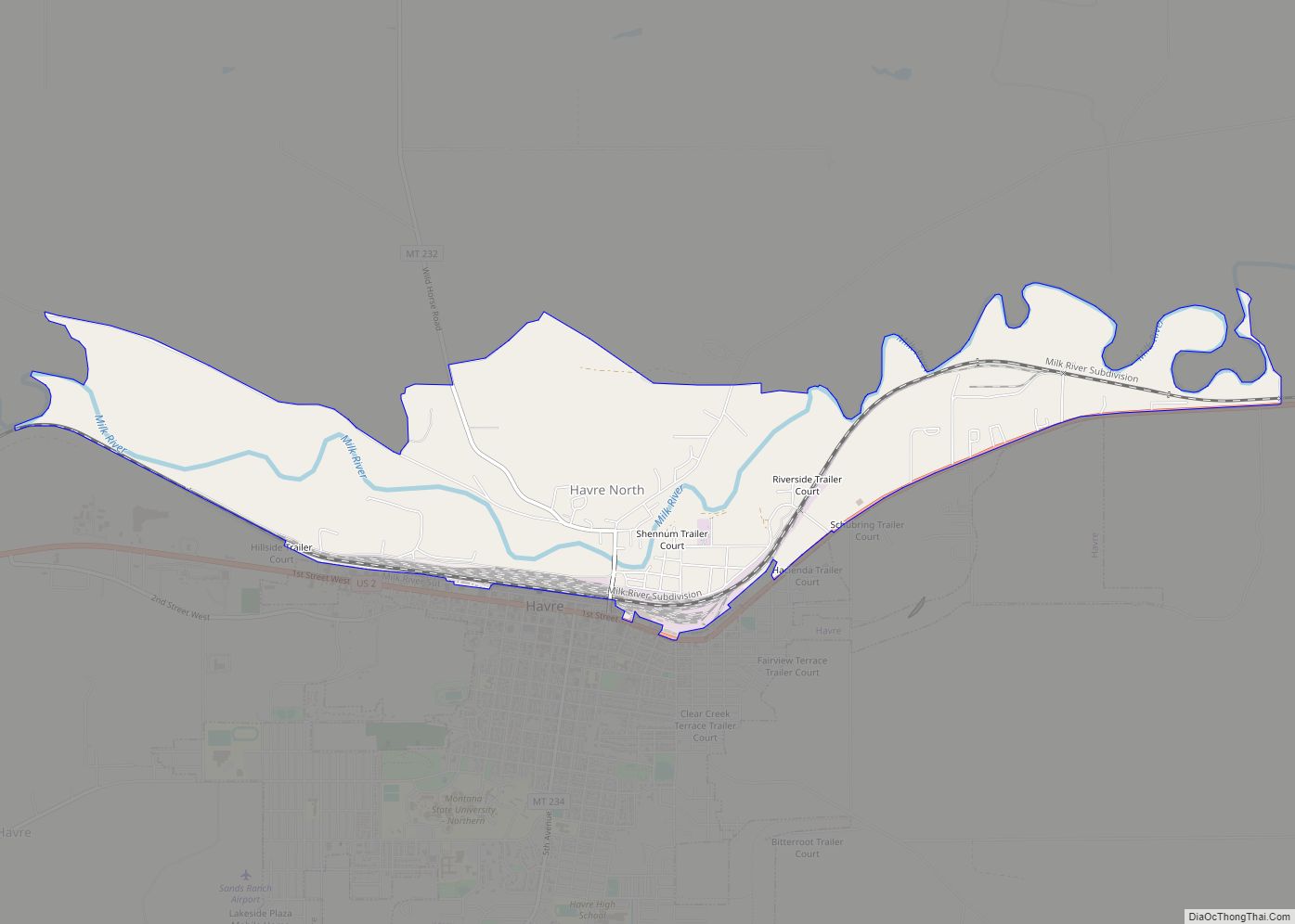
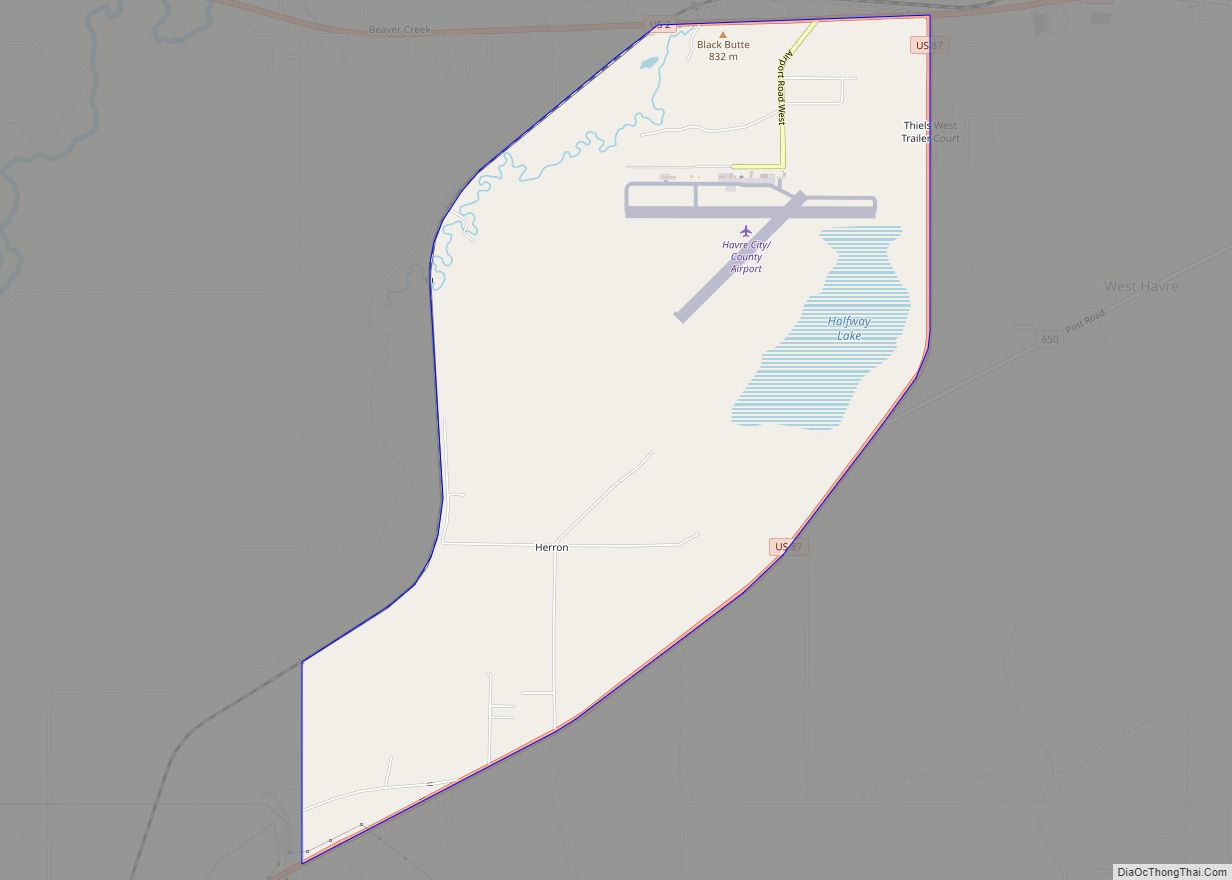
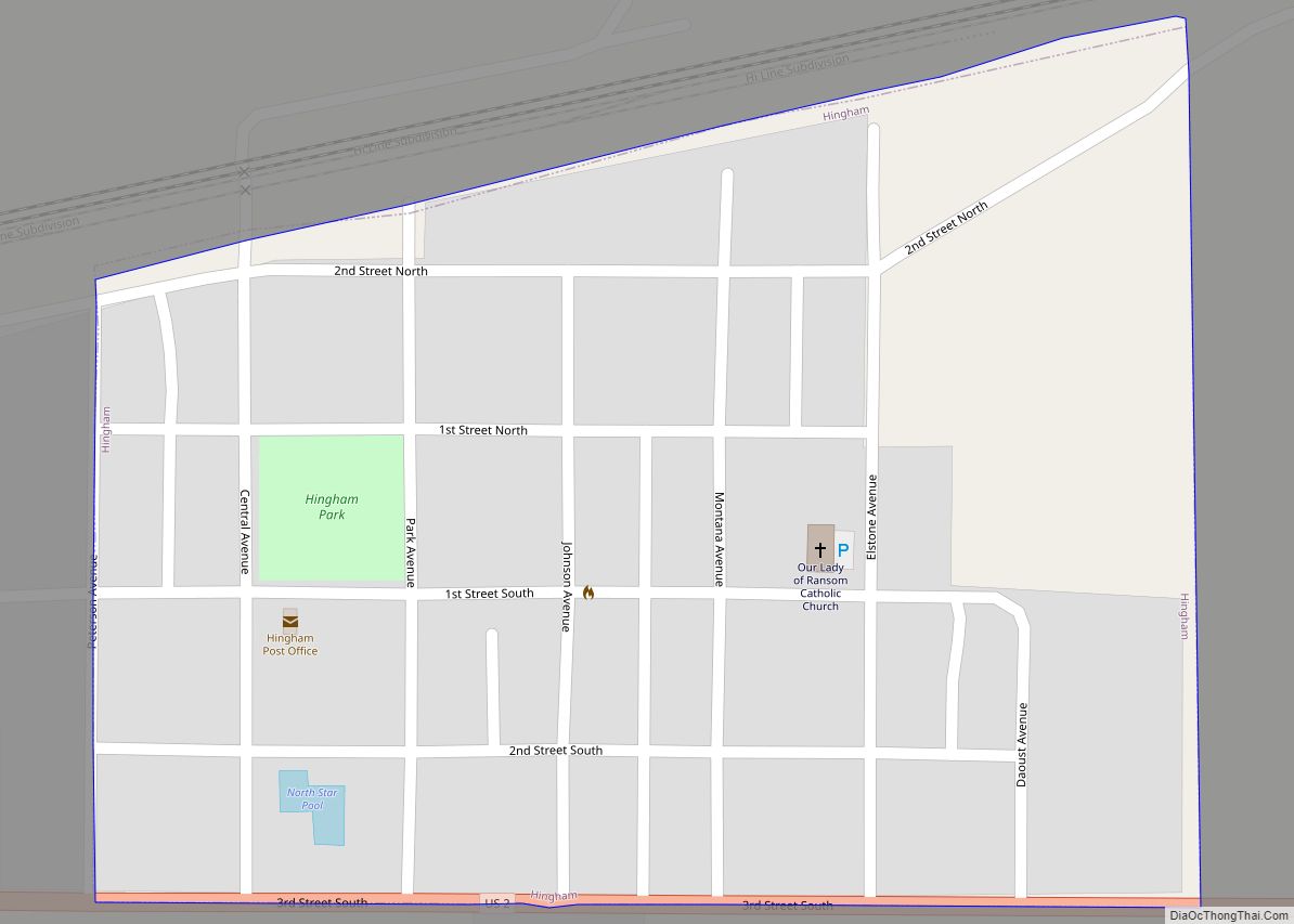
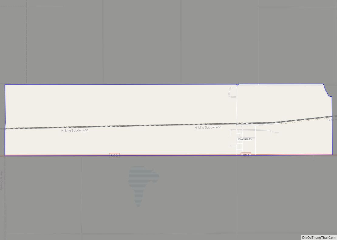
Online Interactive Map
Click on ![]() to view map in "full screen" mode.
to view map in "full screen" mode.
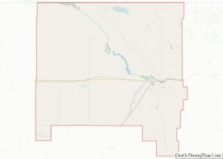
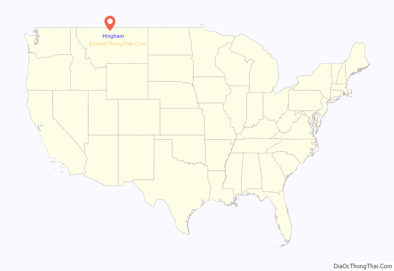
Hingham location map. Where is Hingham town?
History
Hingham is a small agricultural community in northern Montana. Hingham, like many Hi-Line towns, developed as a grain storage and shipping center along the Great Northern Railway (BNSF Railway) and U.S. Route 2. In 1909, homesteaders purchased a relinquishment for the town site, and by early 1910 they had a town established. The community was planned on a broad grid with a central town square as its dominant feature. Hingham prospered in its early years with the opening of a school, hospital, several churches and over forty businesses. In 1917 Hingham incorporated with an elected mayor/council style government.
Community members have developed the town square into one of the best parks on the Hi-Line, much of it through volunteer work and donations. A popular landmark of the town is the water tower which can be seen for miles. The Hingham School was established in 1910 with the Rangers as their mascot and red, white and black as their colors. The school operated until the early 1980s when it consolidated with the neighboring Rudyard School to form Blue Sky Schools. Once again in 2005, Blue Sky Schools consolidated with KG Schools (Kremlin-Gildford) to form North Star Schools. In recent decades Hingham’s population has declined due to lack of economic opportunity. In 2010 Hingham celebrated its Centennial. Hingham shares its name with towns in Wisconsin, Massachusetts and Norfolk, England.
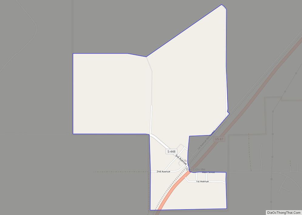
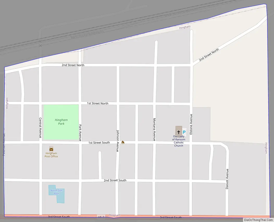
Hingham Road Map
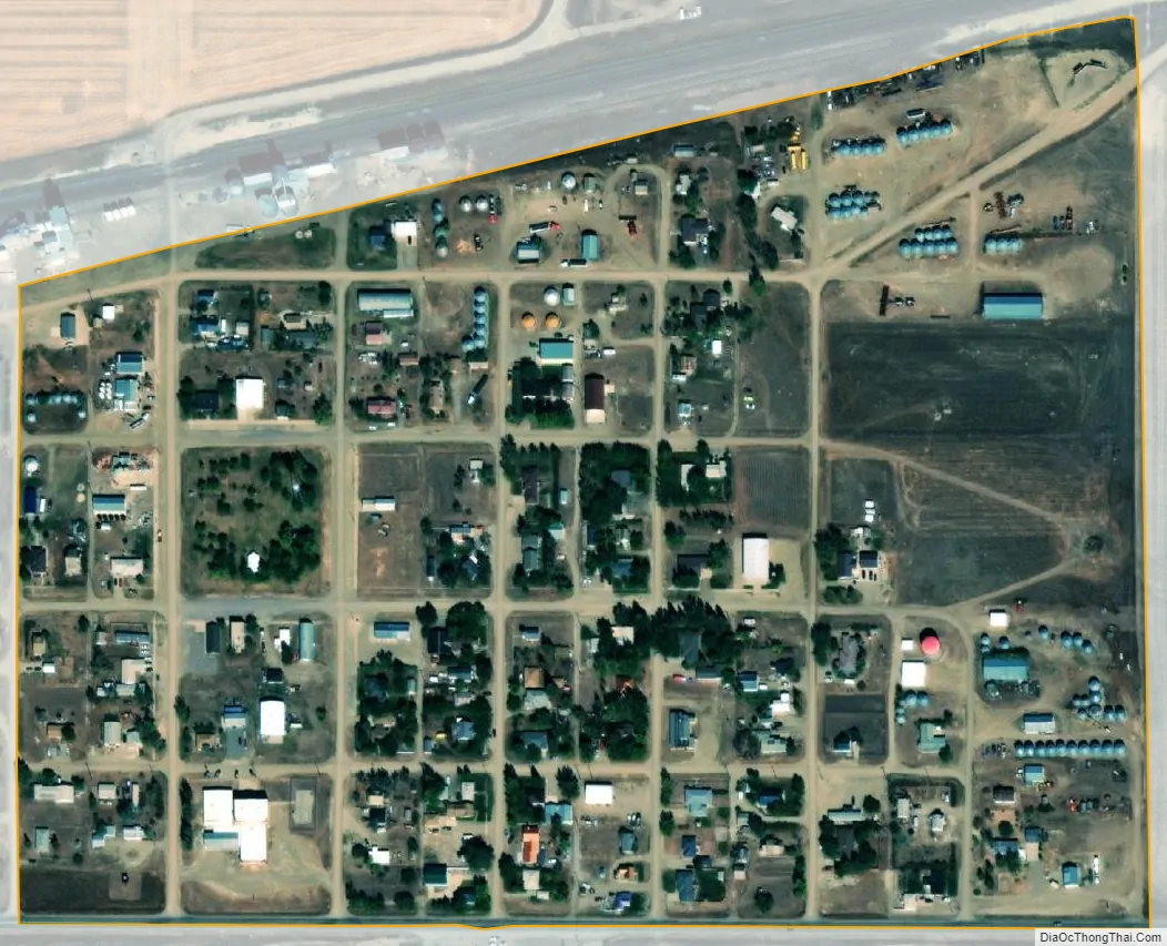
Hingham city Satellite Map
Geography
Hingham is located at 48°33′20″N 110°25′23″W / 48.55556°N 110.42306°W / 48.55556; -110.42306 (48.555641, -110.422951). Located on U.S. Route 2, it is 35 miles to Havre. It is near Fresno Reservoir.
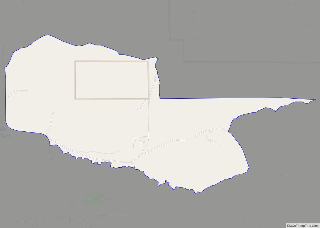
According to the United States Census Bureau, the town has a total area of 0.17 square miles (0.44 km), all land.
See also
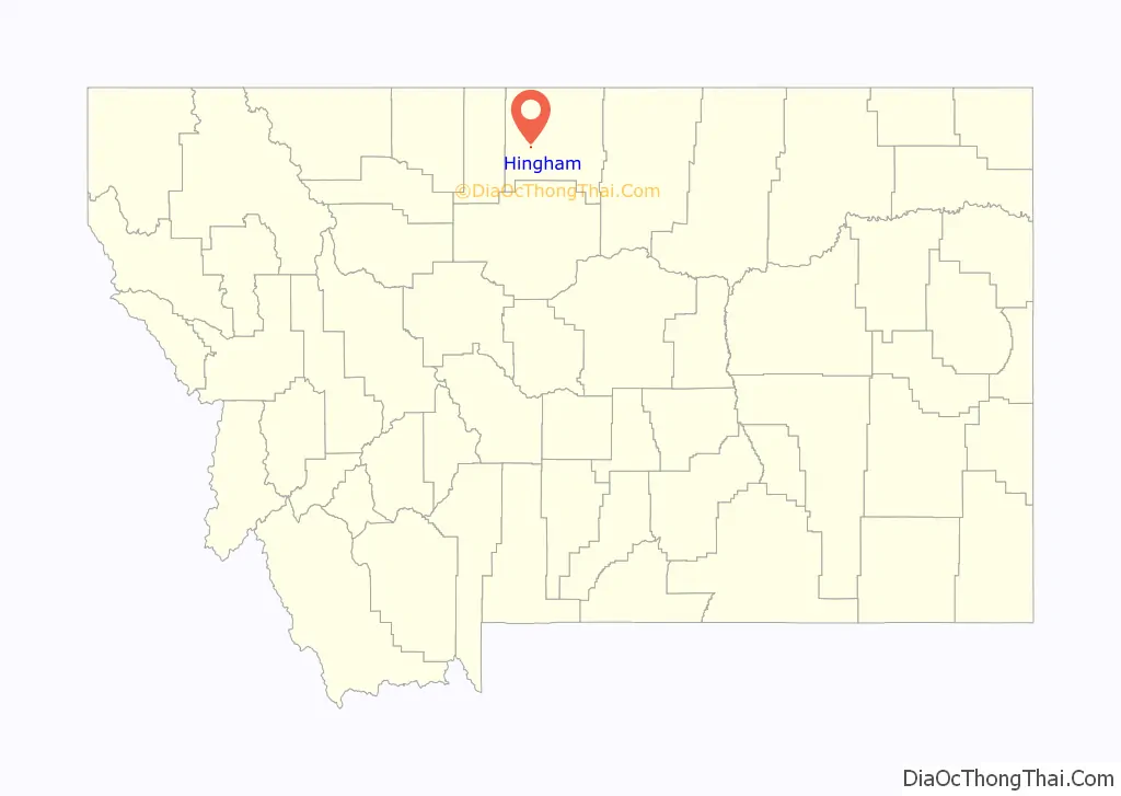
Map of Montana State and its subdivision:- Beaverhead
- Big Horn
- Blaine
- Broadwater
- Carbon
- Carter
- Cascade
- Chouteau
- Custer
- Daniels
- Dawson
- Deer Lodge
- Fallon
- Fergus
- Flathead
- Gallatin
- Garfield
- Glacier
- Golden Valley
- Granite
- Hill
- Jefferson
- Judith Basin
- Lake
- Lewis and Clark
- Liberty
- Lincoln
- Madison
- McCone
- Meagher
- Mineral
- Missoula
- Musselshell
- Park
- Petroleum
- Phillips
- Pondera
- Powder River
- Powell
- Prairie
- Ravalli
- Richland
- Roosevelt
- Rosebud
- Sanders
- Sheridan
- Silver Bow
- Stillwater
- Sweet Grass
- Teton
- Toole
- Treasure
- Valley
- Wheatland
- Wibaux
- Yellowstone
- Alabama
- Alaska
- Arizona
- Arkansas
- California
- Colorado
- Connecticut
- Delaware
- District of Columbia
- Florida
- Georgia
- Hawaii
- Idaho
- Illinois
- Indiana
- Iowa
- Kansas
- Kentucky
- Louisiana
- Maine
- Maryland
- Massachusetts
- Michigan
- Minnesota
- Mississippi
- Missouri
- Montana
- Nebraska
- Nevada
- New Hampshire
- New Jersey
- New Mexico
- New York
- North Carolina
- North Dakota
- Ohio
- Oklahoma
- Oregon
- Pennsylvania
- Rhode Island
- South Carolina
- South Dakota
- Tennessee
- Texas
- Utah
- Vermont
- Virginia
- Washington
- West Virginia
- Wisconsin
- Wyoming