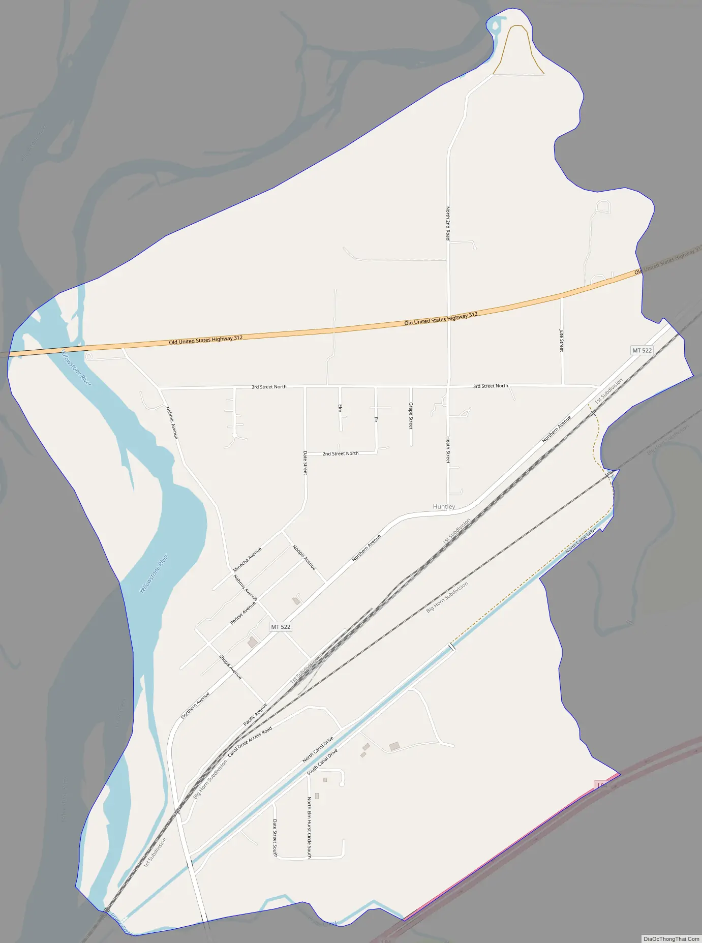
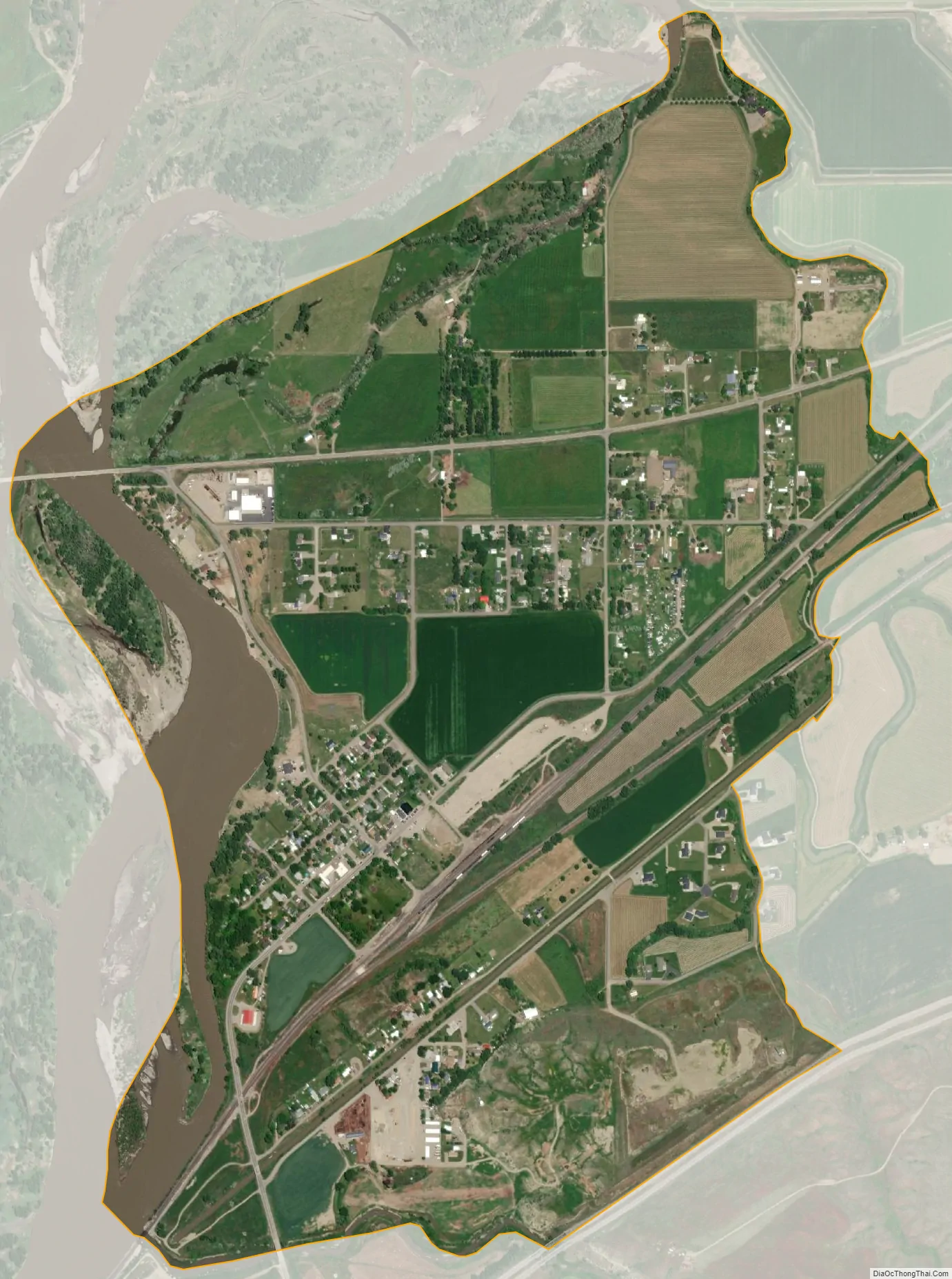
Huntley is a census-designated place (CDP) in Yellowstone County, Montana, United States. The population was 411 at the 2000 census. Huntley lent its name to the Huntley Project, a federal irrigation project that began delivering water to the arid district in 1907. Today, Huntley is an eastern suburb of Billings and is located east of Shepherd and west of Worden.
| Name: | Huntley CDP |
|---|---|
| LSAD Code: | 57 |
| LSAD Description: | CDP (suffix) |
| State: | Montana |
| County: | Yellowstone County |
| Elevation: | 3,019 ft (920 m) |
| Total Area: | 1.60 sq mi (4.15 km²) |
| Land Area: | 1.52 sq mi (3.94 km²) |
| Water Area: | 0.08 sq mi (0.21 km²) |
| Total Population: | 442 |
| Population Density: | 290.79/sq mi (112.30/km²) |
| ZIP code: | 59037 |
| Area code: | 406 |
| FIPS code: | 3038200 |
| GNISfeature ID: | 2408411 |
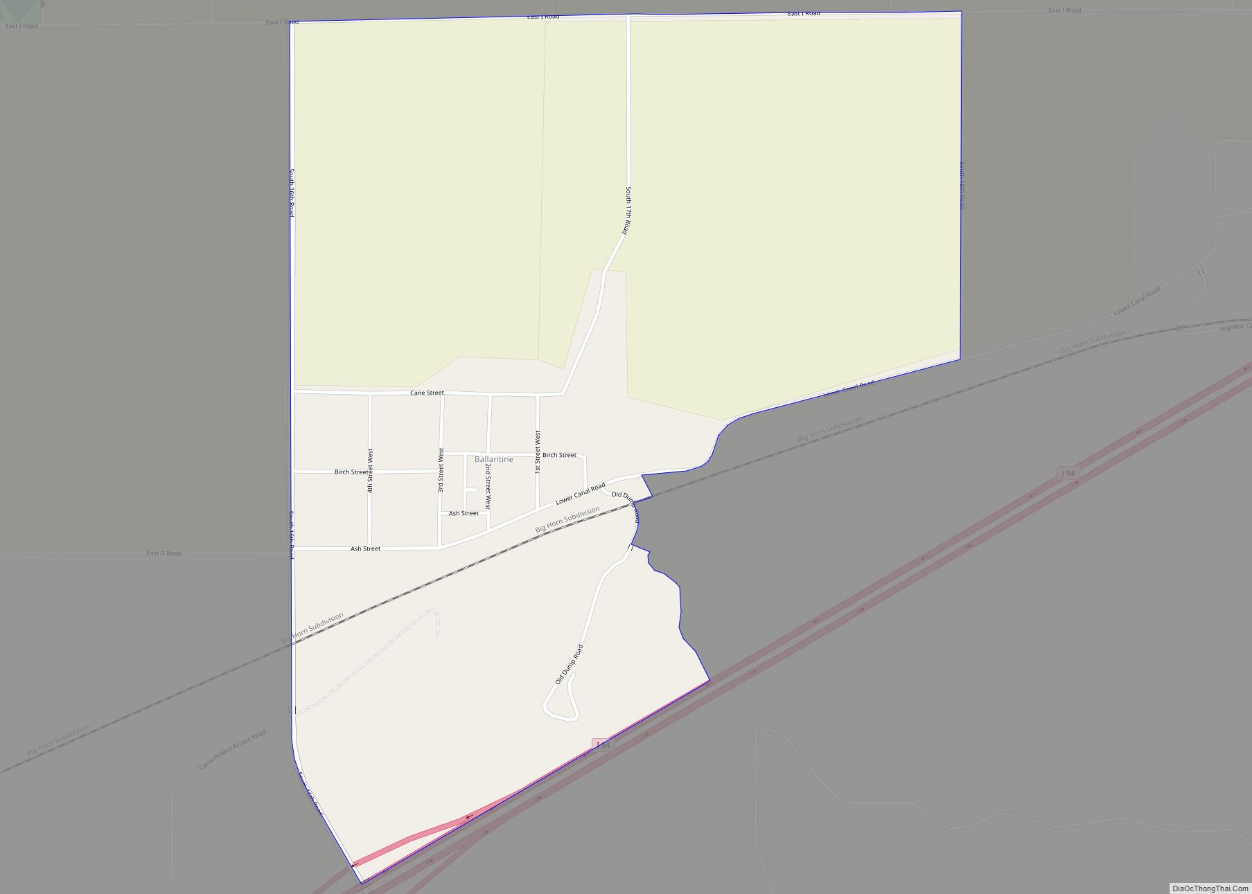
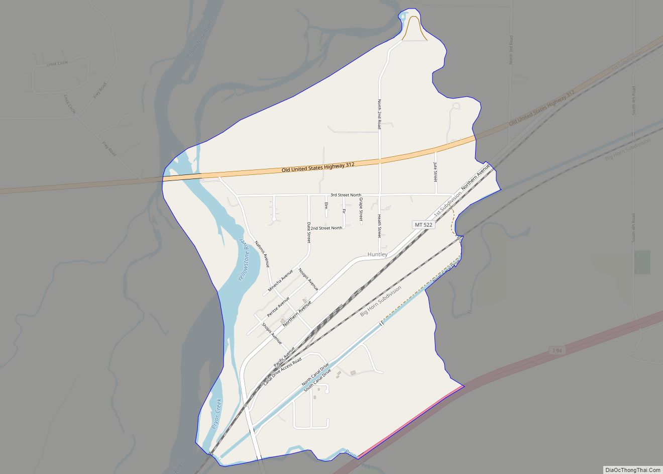
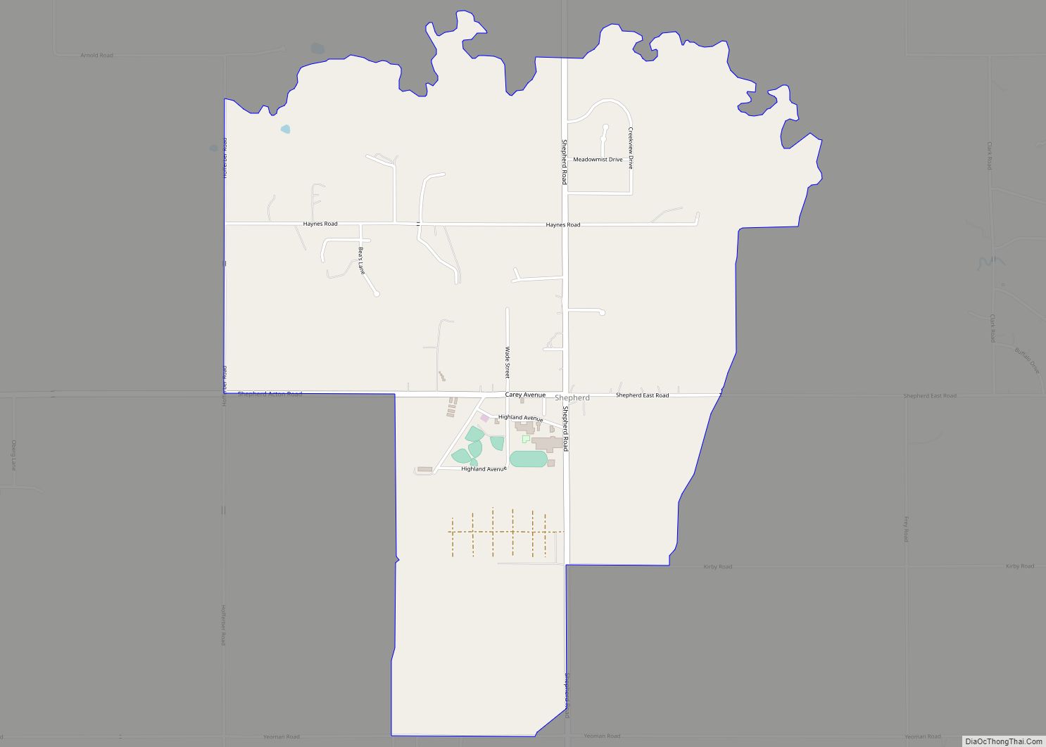
Online Interactive Map
Click on ![]() to view map in "full screen" mode.
to view map in "full screen" mode.
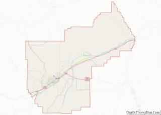
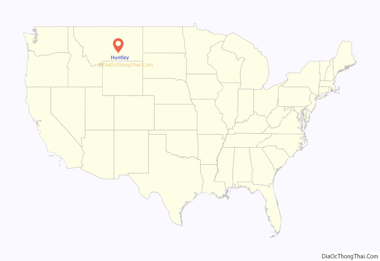
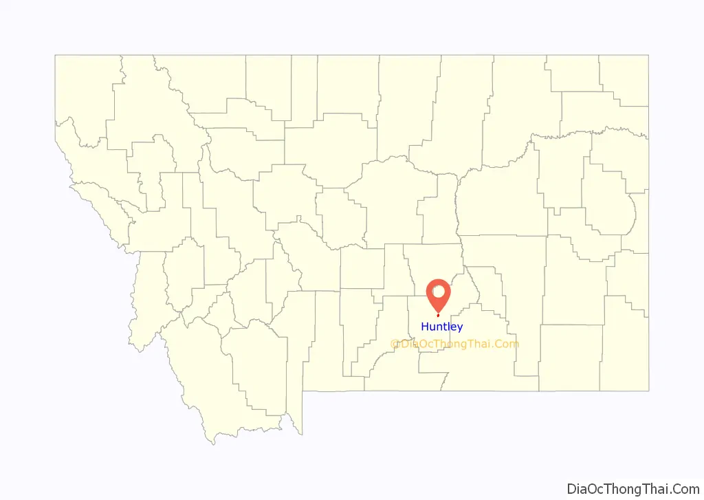
Huntley location map. Where is Huntley CDP?
History
This settlement in arid Crow Indian country was named for S.O. Huntley, a partner in the stagecoach firm of Clark & Huntley. It was located at the head of navigation on the Yellowstone River. The first steamboat, the packet Josephine, arrived June 6, 1875, but river trade was infrequent. A U.S. post office was established in March 1878. The 1880 Census found only 37 people living in Huntley.
Surveying for a railroad led to the so-called “Baker Battle” between Sioux Indians and Army engineers in 1872. The Northern Pacific Railroad arrived in 1882, connecting the town to the new city of Billings. Three years later the town called “Huntley Station” had two stores, a hotel, and a blacksmith. German immigrants were prominent among the new settlers, who established Lutheran and German Methodist churches.
In 1905 the United States Bureau of Reclamation began an irrigation project, called the Huntley Project, on lands that had been part of the Crow Indian Reservation until 1904. The town of Huntley was incorporated into the project along with the new railroad towns of Ballantine, Worden, and Pompey’s Pillar, all founded in 1907.
During the Yellowstone Flood of 1937, the damage to Huntley was more extensive, percentage-wise, than in any other community in the region. Much of the original town of Huntley was destroyed and significant portions of the land it occupied was claimed or compromised by the Yellowstone River. The flood damage included washing away the suspension bridge that allowed adjacent Highway 312 to cross the river. After the flood, the site of the town was relocated from the north side of the river to the higher elevation on the south bank.
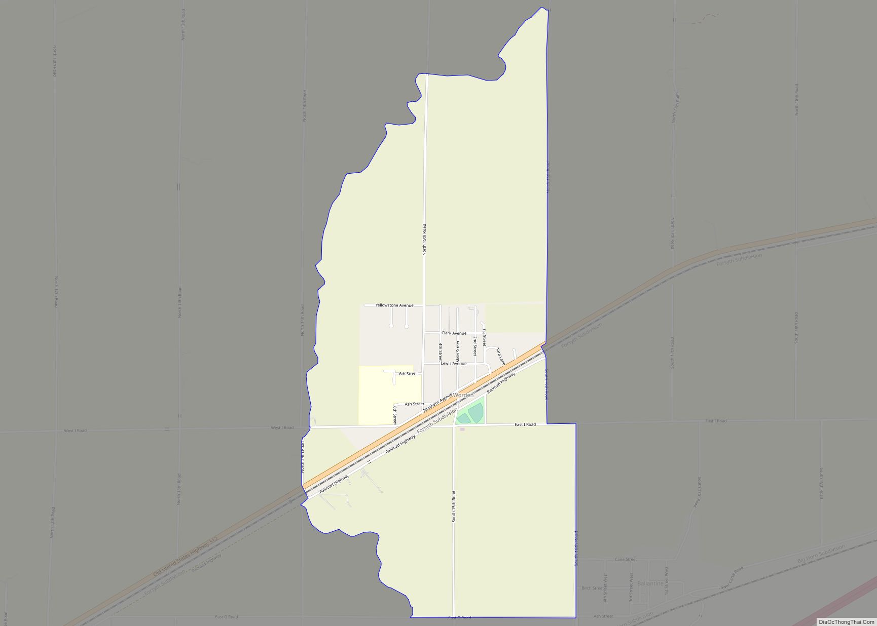
Huntley Road Map
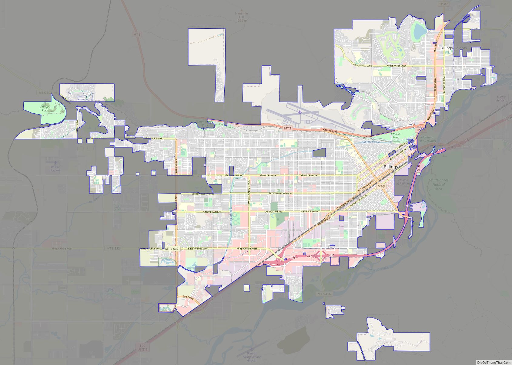
Huntley city Satellite Map
Geography
Huntley is located at 45°53′59″N 108°18′16″W / 45.89972°N 108.30444°W / 45.89972; -108.30444 (45.899722, -108.304491).
According to the United States Census Bureau, the CDP has a total area of 1.3 square miles (3.4 km), all land.
See also
Map of Montana State and its subdivision:- Beaverhead
- Big Horn
- Blaine
- Broadwater
- Carbon
- Carter
- Cascade
- Chouteau
- Custer
- Daniels
- Dawson
- Deer Lodge
- Fallon
- Fergus
- Flathead
- Gallatin
- Garfield
- Glacier
- Golden Valley
- Granite
- Hill
- Jefferson
- Judith Basin
- Lake
- Lewis and Clark
- Liberty
- Lincoln
- Madison
- McCone
- Meagher
- Mineral
- Missoula
- Musselshell
- Park
- Petroleum
- Phillips
- Pondera
- Powder River
- Powell
- Prairie
- Ravalli
- Richland
- Roosevelt
- Rosebud
- Sanders
- Sheridan
- Silver Bow
- Stillwater
- Sweet Grass
- Teton
- Toole
- Treasure
- Valley
- Wheatland
- Wibaux
- Yellowstone
- Alabama
- Alaska
- Arizona
- Arkansas
- California
- Colorado
- Connecticut
- Delaware
- District of Columbia
- Florida
- Georgia
- Hawaii
- Idaho
- Illinois
- Indiana
- Iowa
- Kansas
- Kentucky
- Louisiana
- Maine
- Maryland
- Massachusetts
- Michigan
- Minnesota
- Mississippi
- Missouri
- Montana
- Nebraska
- Nevada
- New Hampshire
- New Jersey
- New Mexico
- New York
- North Carolina
- North Dakota
- Ohio
- Oklahoma
- Oregon
- Pennsylvania
- Rhode Island
- South Carolina
- South Dakota
- Tennessee
- Texas
- Utah
- Vermont
- Virginia
- Washington
- West Virginia
- Wisconsin
- Wyoming