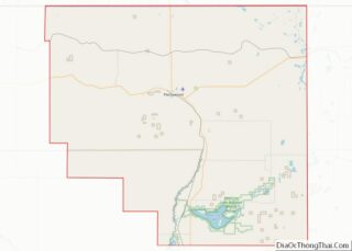
Medicine Lake is a town in Sheridan County, Montana, United States. The population was 244 at the 2020 census.
On July 5, 1937, Medicine Lake recorded a temperature of 117 °F (47 °C), setting the record for the highest temperature ever recorded in Montana.
| Name: | Medicine Lake town |
|---|---|
| LSAD Code: | 43 |
| LSAD Description: | town (suffix) |
| State: | Montana |
| County: | Sheridan County |
| Elevation: | 1,959 ft (597 m) |
| Total Area: | 0.40 sq mi (1.02 km²) |
| Land Area: | 0.40 sq mi (1.02 km²) |
| Water Area: | 0.00 sq mi (0.00 km²) |
| Total Population: | 244 |
| Population Density: | 617.72/sq mi (238.42/km²) |
| ZIP code: | 59247 |
| Area code: | 406 |
| FIPS code: | 3048775 |
| GNISfeature ID: | 0774077 |
| Website: | www.medicinelakemt.com |
Online Interactive Map
Click on ![]() to view map in "full screen" mode.
to view map in "full screen" mode.
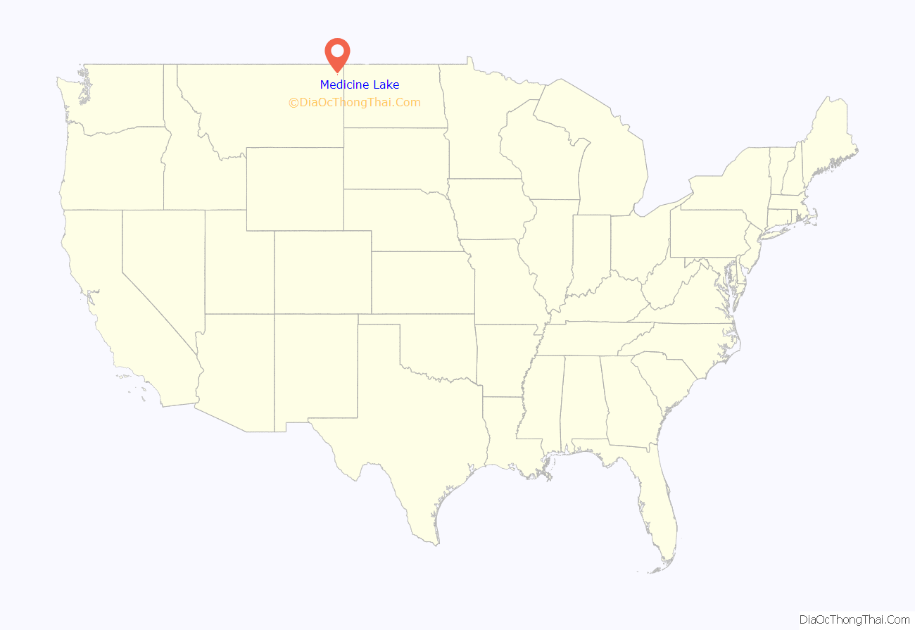
Medicine Lake location map. Where is Medicine Lake town?
History
Edward Stubban named this place Flandrem for his home town in Norway and established a post office and store in 1906. The town moved about 2 miles with the construction of the Great Northern Railway in 1910. They changed the name to Medicine Lake after the nearby lake the Assiniboine referred to as Bda wauka, “Medicine water.”
On November 14, 2020, the high school football team, which co-ops with Froid, known as the RedHawks, won the 6-man State Championship. They defeated White Sulphur Springs 44-19 to finish the season 10-0. It was the first football state title for the school, which had finished 2nd in 1952, 1985 and 2000, when they were known as the Honkers.
On November 20, 2021 the undefeated RedHawks won back to back state titles with a 43-0 defeat of the Power-Dutton-Brady Titans on the road in Dutton, Montana. The win concluded the RedHawks’ season with a 13-0 record and extended their winning streak to 23 games.
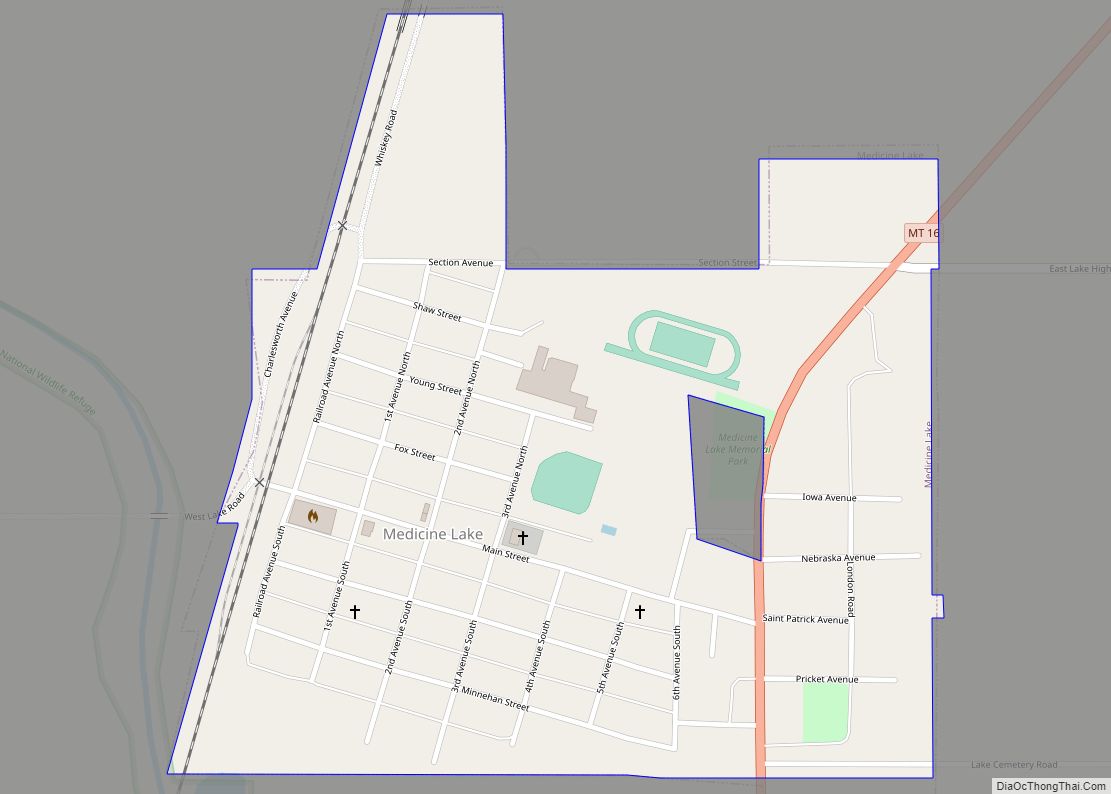
Medicine Lake Road Map
Medicine Lake city Satellite Map
Geography
Medicine Lake is located at 48°30′2″N 104°30′11″W / 48.50056°N 104.50306°W / 48.50056; -104.50306 (48.500438, -104.503079).
According to the United States Census Bureau, the town has a total area of 0.40 square miles (1.04 km), all land.
Climate
According to the Köppen Climate Classification system, Medicine Lake has a semi-arid climate, abbreviated “BSk” on climate maps.
See also
Map of Montana State and its subdivision:- Beaverhead
- Big Horn
- Blaine
- Broadwater
- Carbon
- Carter
- Cascade
- Chouteau
- Custer
- Daniels
- Dawson
- Deer Lodge
- Fallon
- Fergus
- Flathead
- Gallatin
- Garfield
- Glacier
- Golden Valley
- Granite
- Hill
- Jefferson
- Judith Basin
- Lake
- Lewis and Clark
- Liberty
- Lincoln
- Madison
- McCone
- Meagher
- Mineral
- Missoula
- Musselshell
- Park
- Petroleum
- Phillips
- Pondera
- Powder River
- Powell
- Prairie
- Ravalli
- Richland
- Roosevelt
- Rosebud
- Sanders
- Sheridan
- Silver Bow
- Stillwater
- Sweet Grass
- Teton
- Toole
- Treasure
- Valley
- Wheatland
- Wibaux
- Yellowstone
- Alabama
- Alaska
- Arizona
- Arkansas
- California
- Colorado
- Connecticut
- Delaware
- District of Columbia
- Florida
- Georgia
- Hawaii
- Idaho
- Illinois
- Indiana
- Iowa
- Kansas
- Kentucky
- Louisiana
- Maine
- Maryland
- Massachusetts
- Michigan
- Minnesota
- Mississippi
- Missouri
- Montana
- Nebraska
- Nevada
- New Hampshire
- New Jersey
- New Mexico
- New York
- North Carolina
- North Dakota
- Ohio
- Oklahoma
- Oregon
- Pennsylvania
- Rhode Island
- South Carolina
- South Dakota
- Tennessee
- Texas
- Utah
- Vermont
- Virginia
- Washington
- West Virginia
- Wisconsin
- Wyoming
