Melstone is a rural small town in far eastern Musselshell County, Montana, United States, along U.S. Route 12. The population was 126 at the 2020 census. The town was established in 1908 as a base for operating crews on the Chicago, Milwaukee, St. Paul and Pacific Railroad, then under construction in Montana. Although the railroad was abandoned in 1980, Melstone survives as a community center for farmers and ranchers in the lower Musselshell River valley. It has a K-12 school with a staff of 16, which in the Fall of 2017 successfully began a 4-day school week.
The Melstone Oil Field west of town developed in the 1950s and saw renewed production in the 1990s.
| Name: | Melstone town |
|---|---|
| LSAD Code: | 43 |
| LSAD Description: | town (suffix) |
| State: | Montana |
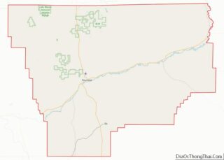
| County: | Musselshell County |
| Elevation: | 2,940 ft (896 m) |
| Total Area: | 0.61 sq mi (1.59 km²) |
| Land Area: | 0.61 sq mi (1.59 km²) |
| Water Area: | 0.00 sq mi (0.00 km²) |
| Total Population: | 126 |
| Population Density: | 204.88/sq mi (79.13/km²) |
| ZIP code: | 59054 |
| Area code: | 406 |
| FIPS code: | 3049000 |
| GNISfeature ID: | 0774093 |
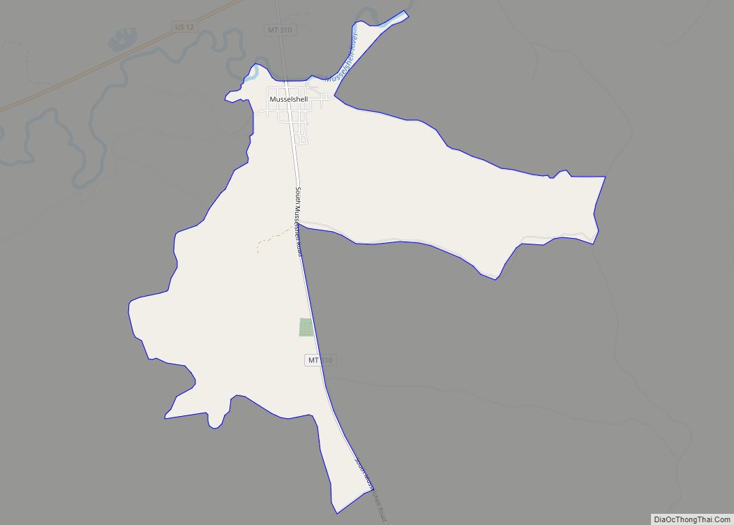
Online Interactive Map
Click on ![]() to view map in "full screen" mode.
to view map in "full screen" mode.
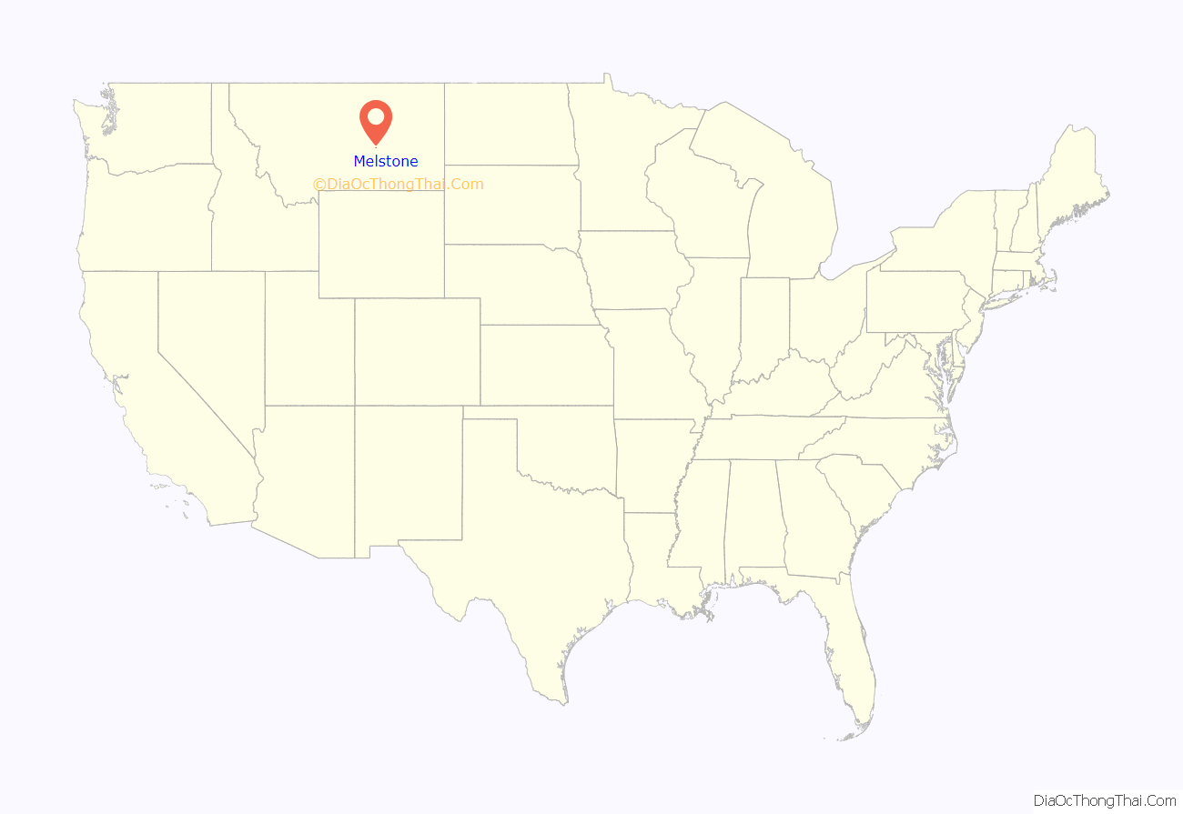
Melstone location map. Where is Melstone town?
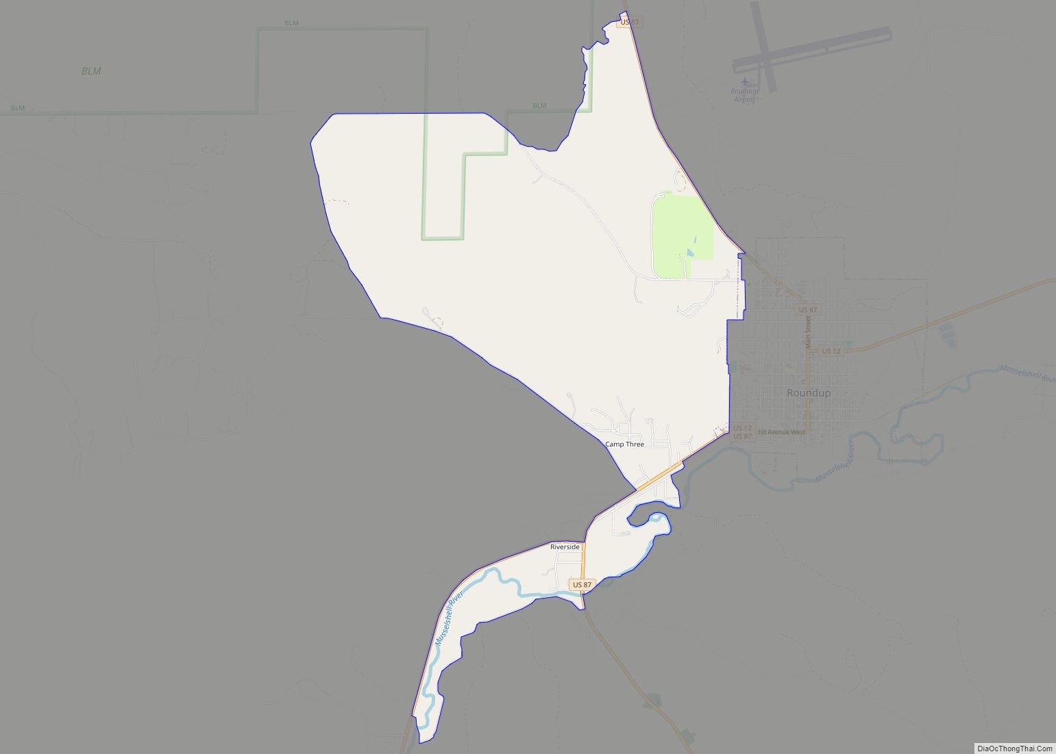
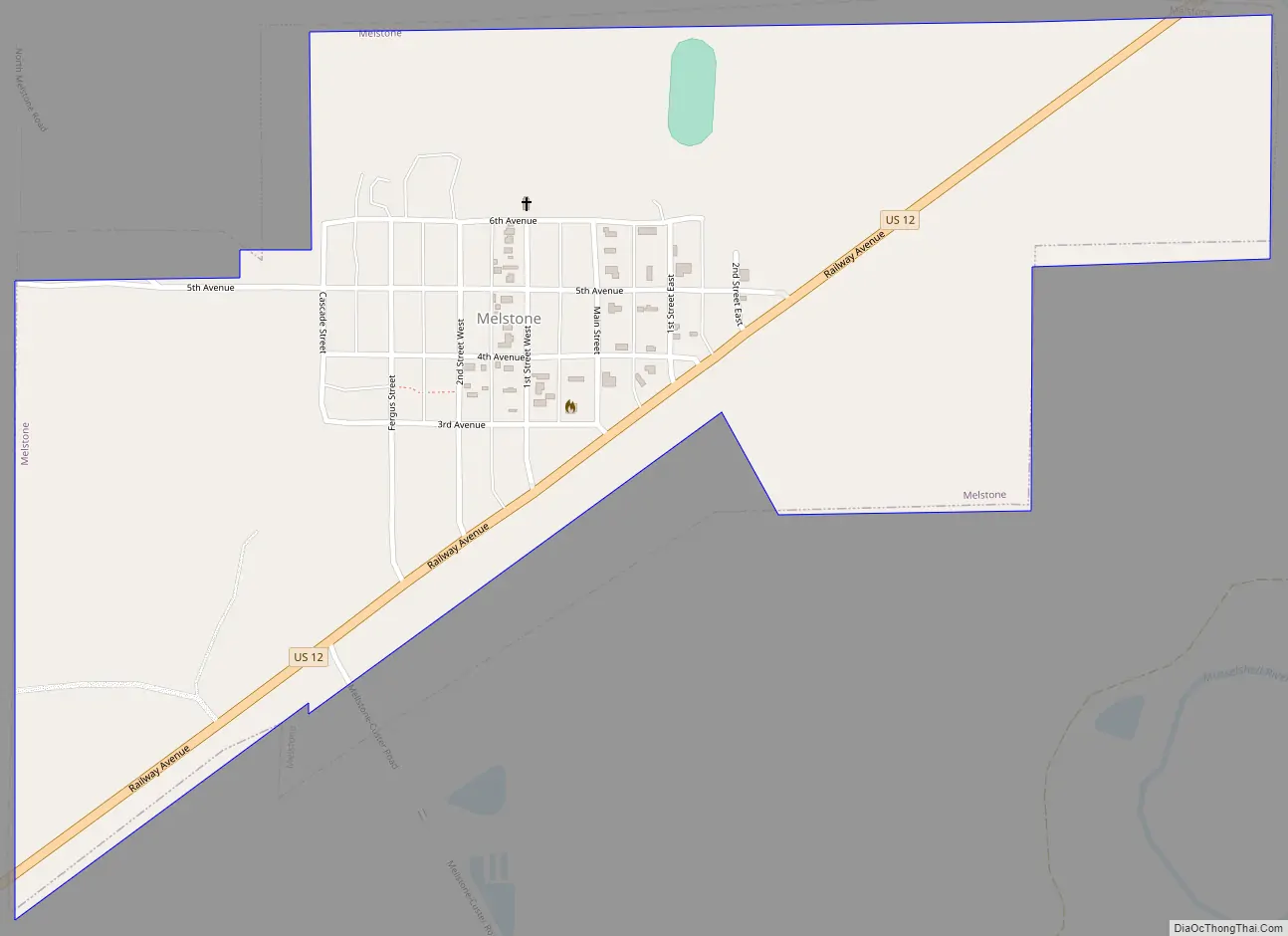
Melstone Road Map
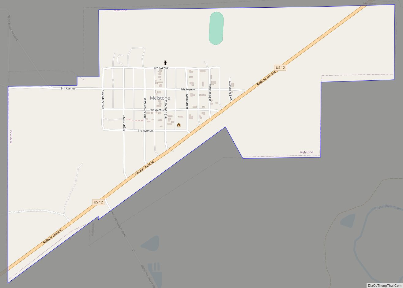
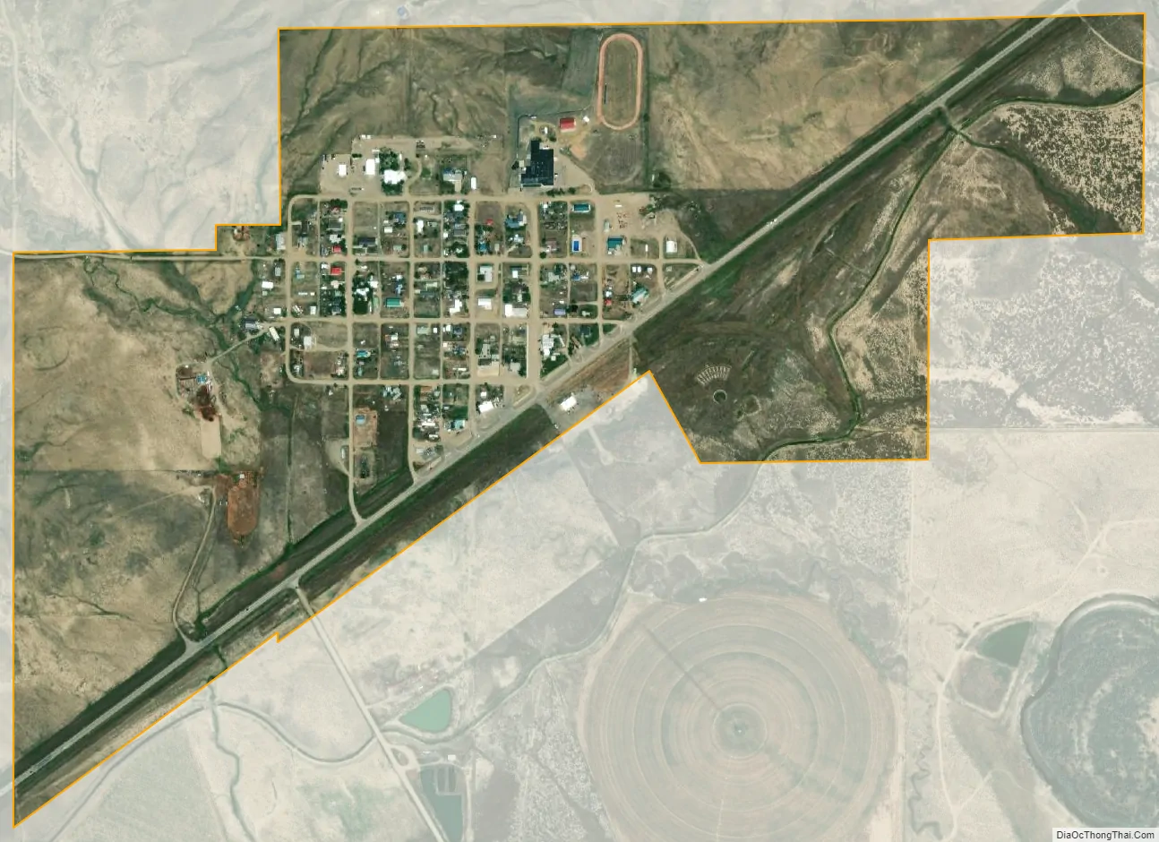
Melstone city Satellite Map
Geography
Melstone is located at 46°35′57″N 107°52′11″W / 46.59917°N 107.86972°W / 46.59917; -107.86972 (46.599081, -107.869851).
According to the United States Census Bureau, the town has a total area of 0.69 square miles (1.79 km), all of it land.
Climate
According to the Köppen Climate Classification system, Melstone has a semi-arid climate, abbreviated “BSk” on climate maps.
See also
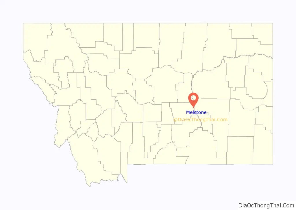
Map of Montana State and its subdivision:- Beaverhead
- Big Horn
- Blaine
- Broadwater
- Carbon
- Carter
- Cascade
- Chouteau
- Custer
- Daniels
- Dawson
- Deer Lodge
- Fallon
- Fergus
- Flathead
- Gallatin
- Garfield
- Glacier
- Golden Valley
- Granite
- Hill
- Jefferson
- Judith Basin
- Lake
- Lewis and Clark
- Liberty
- Lincoln
- Madison
- McCone
- Meagher
- Mineral
- Missoula
- Musselshell
- Park
- Petroleum
- Phillips
- Pondera
- Powder River
- Powell
- Prairie
- Ravalli
- Richland
- Roosevelt
- Rosebud
- Sanders
- Sheridan
- Silver Bow
- Stillwater
- Sweet Grass
- Teton
- Toole
- Treasure
- Valley
- Wheatland
- Wibaux
- Yellowstone
- Alabama
- Alaska
- Arizona
- Arkansas
- California
- Colorado
- Connecticut
- Delaware
- District of Columbia
- Florida
- Georgia
- Hawaii
- Idaho
- Illinois
- Indiana
- Iowa
- Kansas
- Kentucky
- Louisiana
- Maine
- Maryland
- Massachusetts
- Michigan
- Minnesota
- Mississippi
- Missouri
- Montana
- Nebraska
- Nevada
- New Hampshire
- New Jersey
- New Mexico
- New York
- North Carolina
- North Dakota
- Ohio
- Oklahoma
- Oregon
- Pennsylvania
- Rhode Island
- South Carolina
- South Dakota
- Tennessee
- Texas
- Utah
- Vermont
- Virginia
- Washington
- West Virginia
- Wisconsin
- Wyoming