Plentywood is a city in and the county seat of Sheridan County, Montana, United States. The population was 1,669 at the 2020 census.
| Name: | Plentywood city |
|---|---|
| LSAD Code: | 25 |
| LSAD Description: | city (suffix) |
| State: | Montana |
| County: | Sheridan County |
| Elevation: | 2,047 ft (624 m) |
| Total Area: | 1.36 sq mi (3.51 km²) |
| Land Area: | 1.36 sq mi (3.51 km²) |
| Water Area: | 0.00 sq mi (0.00 km²) |
| Total Population: | 1,669 |
| Population Density: | 1,229.92/sq mi (474.91/km²) |
| ZIP code: | 59254 |
| Area code: | 406 |
| FIPS code: | 3058375 |
| GNISfeature ID: | 0775295 |
Online Interactive Map
Click on ![]() to view map in "full screen" mode.
to view map in "full screen" mode.
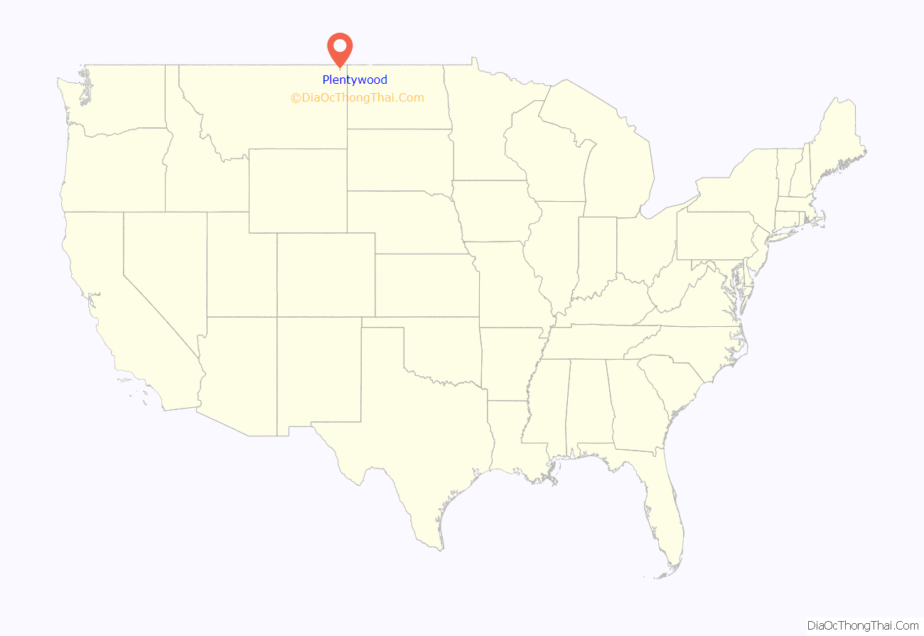
Plentywood location map. Where is Plentywood city?
History
The first business in Plentywood opened in 1900, and a post office was established two years later. The city incorporated in 1912, following the arrival of a Great Northern Railway branch line that eventually ran from Bainville to Opheim. Local folklore suggests that the name of the nearby Plentywood Creek, after which the city was named, comes from a search for firewood. One day, according to the story, a group of cowboys watched in exasperation as the chuck wagon cook attempted to start a fire with damp buffalo chips. Finally, in frustration, Dutch Henry said, “If you’ll go two miles up this creek, you’ll find plenty wood.”
Plentywood has been a center for purchase of pulse crops since 2005.
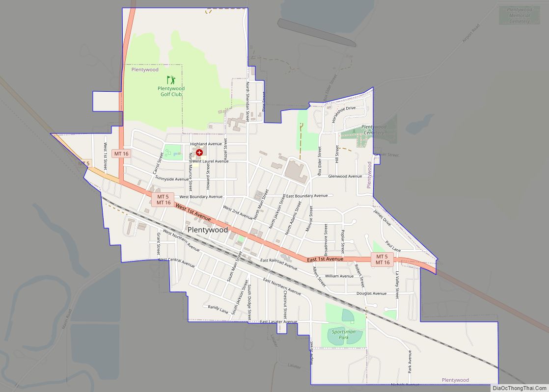
Plentywood Road Map
Plentywood city Satellite Map
Geography
According to the United States Census Bureau, the city has a total area of 1.17 square miles (3.03 km), all land.
Climate
According to the Köppen Climate Classification system, Plentywood has a semi-arid climate, abbreviated “BSk” on climate maps.
See also
Map of Montana State and its subdivision:- Beaverhead
- Big Horn
- Blaine
- Broadwater
- Carbon
- Carter
- Cascade
- Chouteau
- Custer
- Daniels
- Dawson
- Deer Lodge
- Fallon
- Fergus
- Flathead
- Gallatin
- Garfield
- Glacier
- Golden Valley
- Granite
- Hill
- Jefferson
- Judith Basin
- Lake
- Lewis and Clark
- Liberty
- Lincoln
- Madison
- McCone
- Meagher
- Mineral
- Missoula
- Musselshell
- Park
- Petroleum
- Phillips
- Pondera
- Powder River
- Powell
- Prairie
- Ravalli
- Richland
- Roosevelt
- Rosebud
- Sanders
- Sheridan
- Silver Bow
- Stillwater
- Sweet Grass
- Teton
- Toole
- Treasure
- Valley
- Wheatland
- Wibaux
- Yellowstone
- Alabama
- Alaska
- Arizona
- Arkansas
- California
- Colorado
- Connecticut
- Delaware
- District of Columbia
- Florida
- Georgia
- Hawaii
- Idaho
- Illinois
- Indiana
- Iowa
- Kansas
- Kentucky
- Louisiana
- Maine
- Maryland
- Massachusetts
- Michigan
- Minnesota
- Mississippi
- Missouri
- Montana
- Nebraska
- Nevada
- New Hampshire
- New Jersey
- New Mexico
- New York
- North Carolina
- North Dakota
- Ohio
- Oklahoma
- Oregon
- Pennsylvania
- Rhode Island
- South Carolina
- South Dakota
- Tennessee
- Texas
- Utah
- Vermont
- Virginia
- Washington
- West Virginia
- Wisconsin
- Wyoming
