Richey is a town in Dawson County, Montana, United States. It is located to the north of Glendive, the county seat. The population was 164 at the 2020 census. The town has a strong agriculture economy with wheat, oats and barley as the main crops as well as significant cattle and sheep ranches.
Clyde Richey opened a post office in 1911.
| Name: | Richey town |
|---|---|
| LSAD Code: | 43 |
| LSAD Description: | town (suffix) |
| State: | Montana |
| County: | Dawson County |
| Elevation: | 2,503 ft (763 m) |
| Total Area: | 0.26 sq mi (0.67 km²) |
| Land Area: | 0.26 sq mi (0.67 km²) |
| Water Area: | 0.00 sq mi (0.00 km²) |
| Total Population: | 164 |
| Population Density: | 635.66/sq mi (245.78/km²) |
| ZIP code: | 59259 |
| Area code: | 406 |
| FIPS code: | 3062275 |
| GNISfeature ID: | 0775750 |
Online Interactive Map
Click on ![]() to view map in "full screen" mode.
to view map in "full screen" mode.
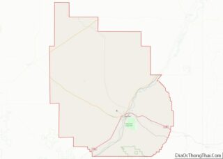
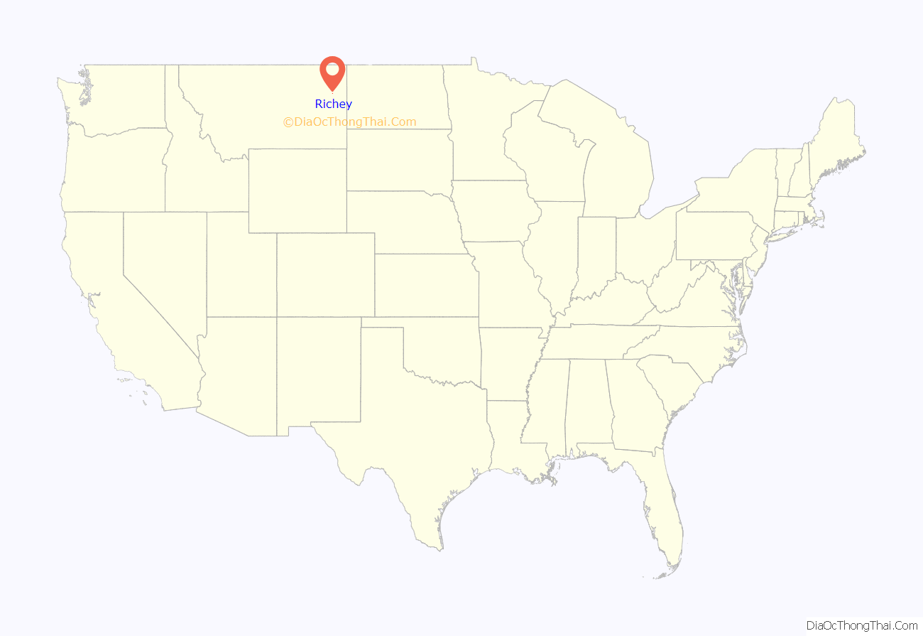
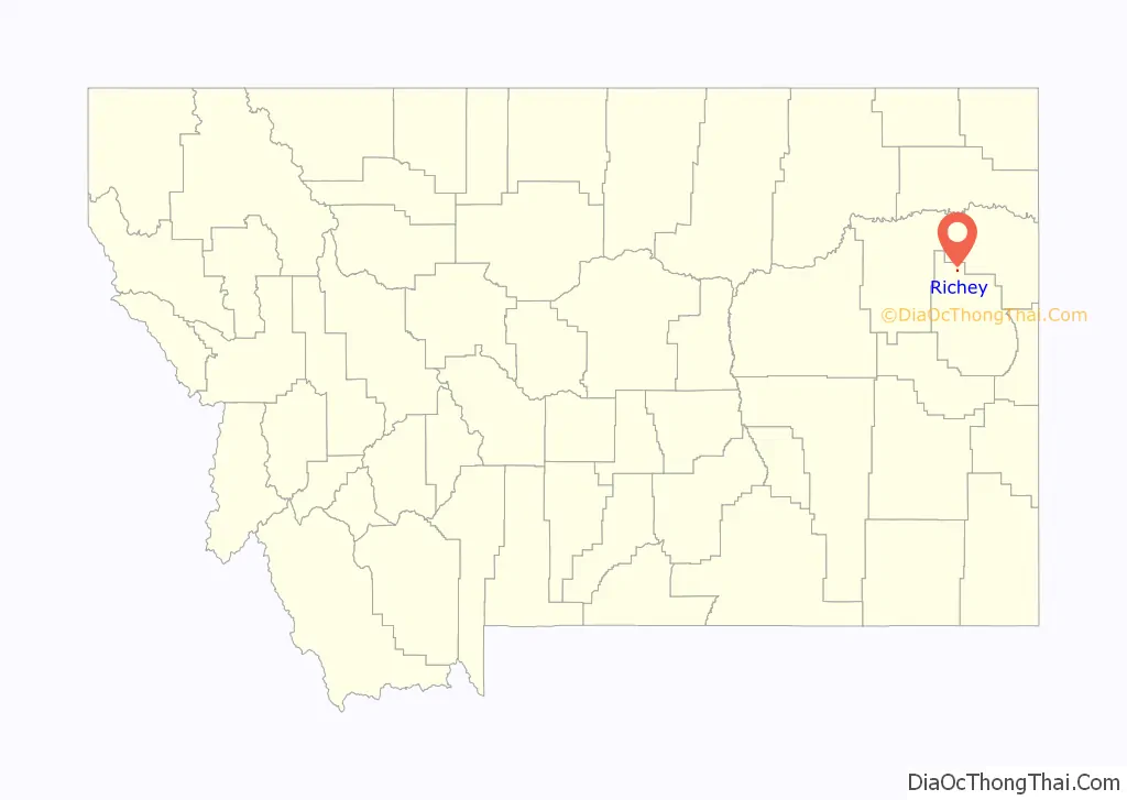
Richey location map. Where is Richey town?
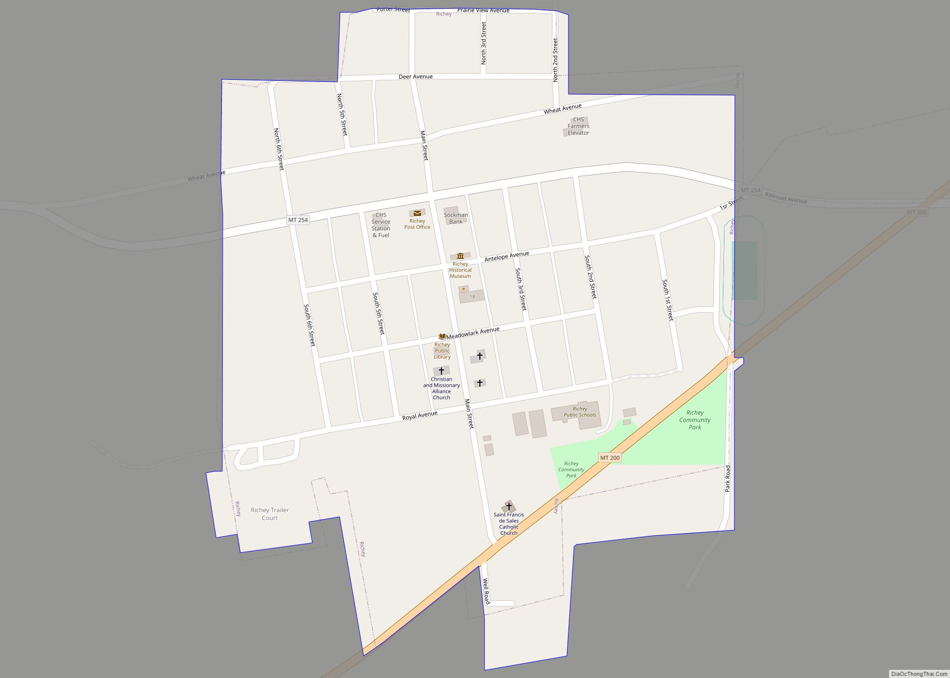
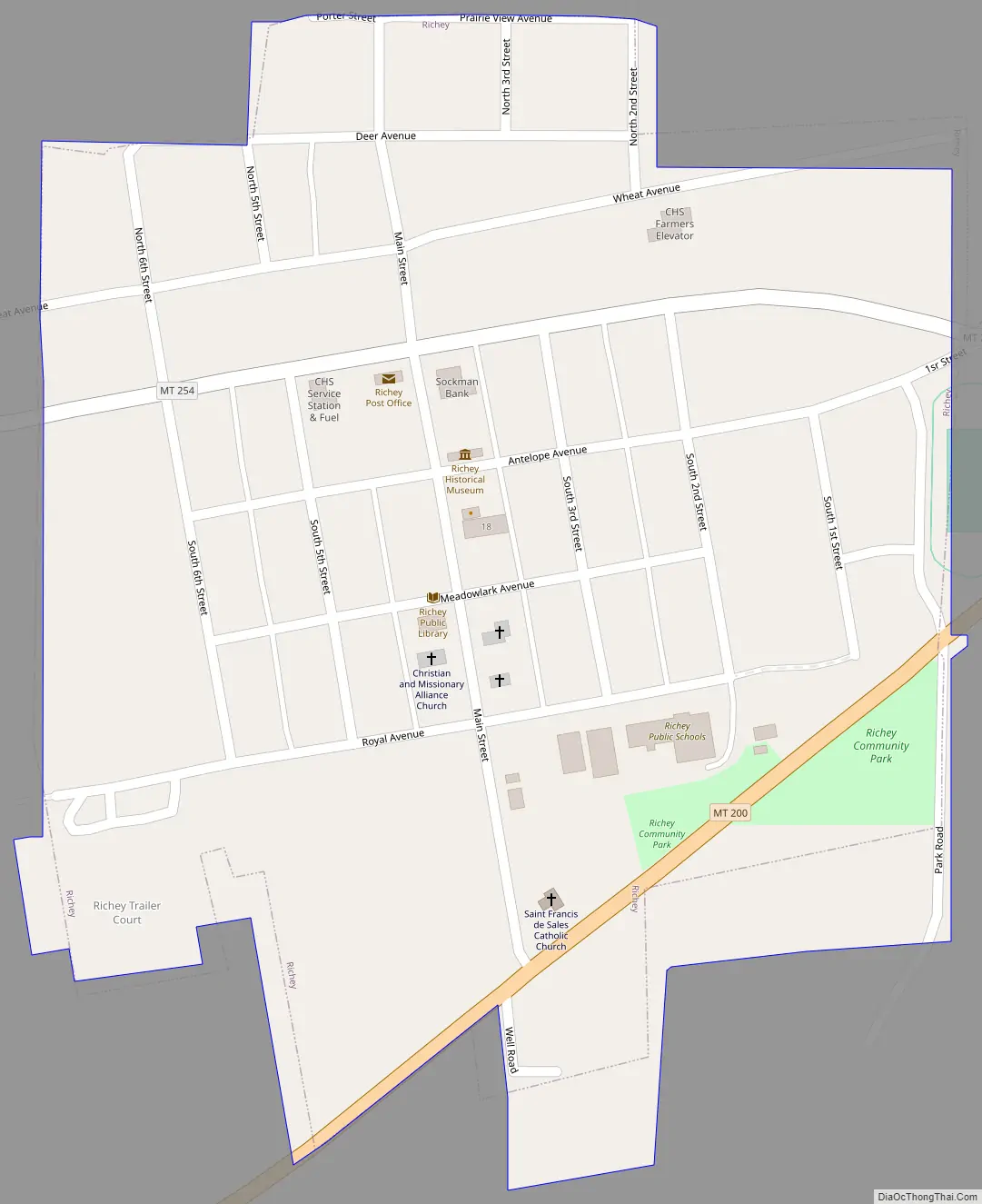
Richey Road Map
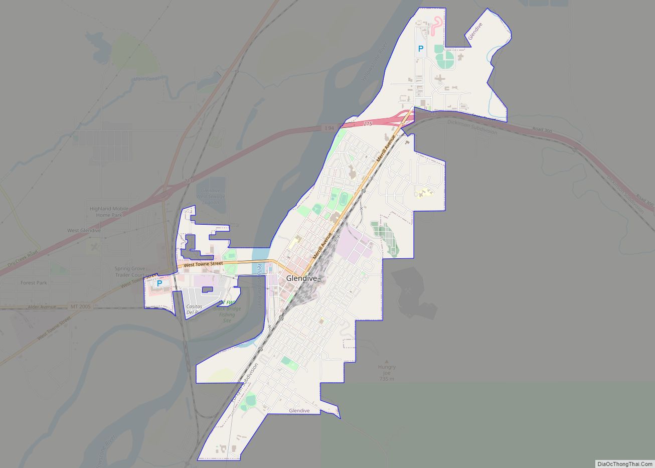
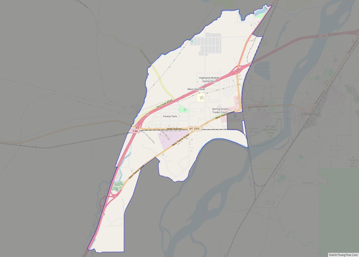
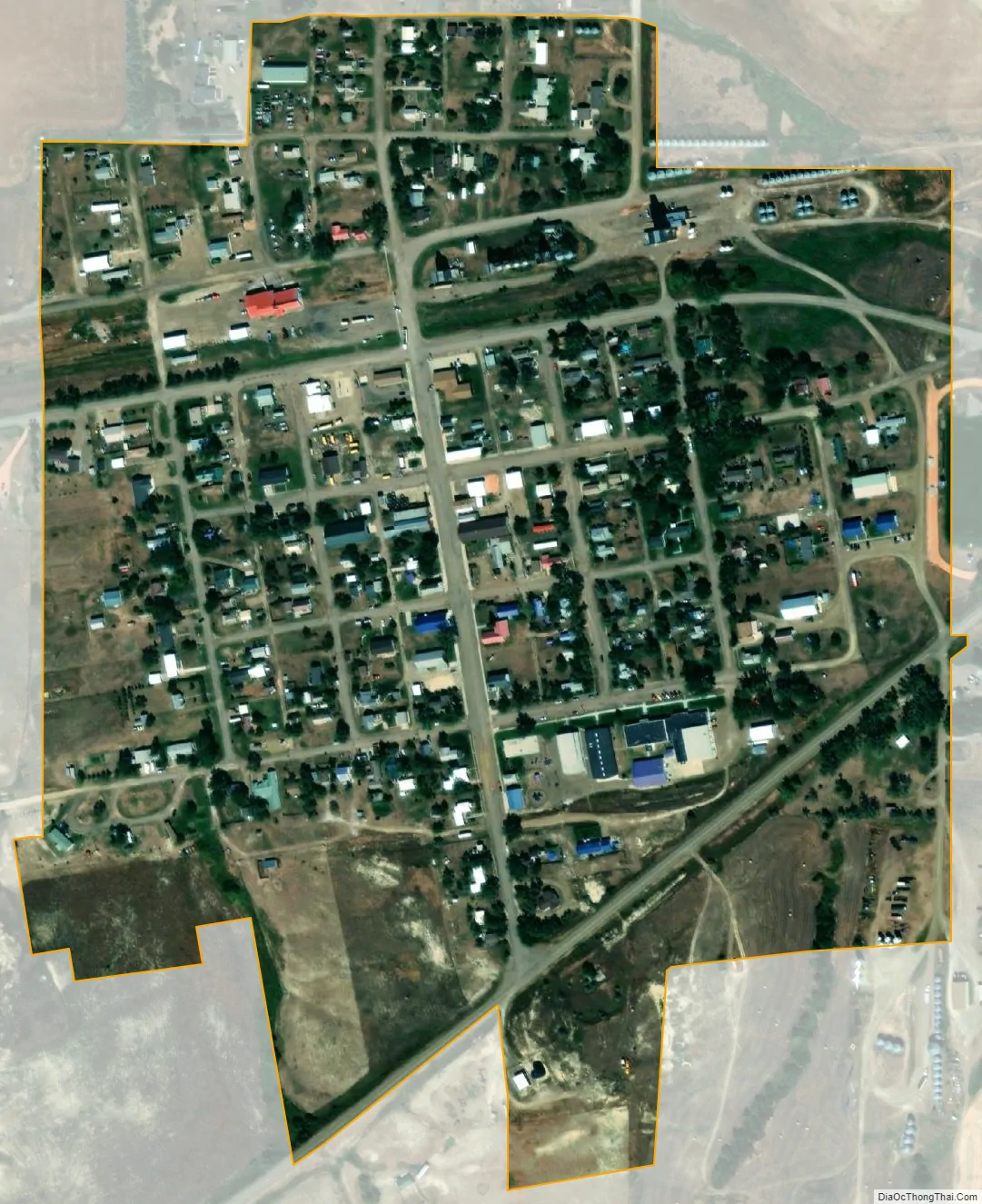
Richey city Satellite Map
Geography
Richey is located at 47°38′42″N 105°4′10″W / 47.64500°N 105.06944°W / 47.64500; -105.06944 (47.644958, -105.069380). Montana Highway 200 passes through town. Longs Reservoir and Wold Reservoir are nearby.
According to the United States Census Bureau, the town has a total area of 0.25 square miles (0.65 km), all land.
Climate
According to the Köppen Climate Classification system, Richey has a semi-arid climate, abbreviated “BSk” on climate maps.
See also
Map of Montana State and its subdivision:- Beaverhead
- Big Horn
- Blaine
- Broadwater
- Carbon
- Carter
- Cascade
- Chouteau
- Custer
- Daniels
- Dawson
- Deer Lodge
- Fallon
- Fergus
- Flathead
- Gallatin
- Garfield
- Glacier
- Golden Valley
- Granite
- Hill
- Jefferson
- Judith Basin
- Lake
- Lewis and Clark
- Liberty
- Lincoln
- Madison
- McCone
- Meagher
- Mineral
- Missoula
- Musselshell
- Park
- Petroleum
- Phillips
- Pondera
- Powder River
- Powell
- Prairie
- Ravalli
- Richland
- Roosevelt
- Rosebud
- Sanders
- Sheridan
- Silver Bow
- Stillwater
- Sweet Grass
- Teton
- Toole
- Treasure
- Valley
- Wheatland
- Wibaux
- Yellowstone
- Alabama
- Alaska
- Arizona
- Arkansas
- California
- Colorado
- Connecticut
- Delaware
- District of Columbia
- Florida
- Georgia
- Hawaii
- Idaho
- Illinois
- Indiana
- Iowa
- Kansas
- Kentucky
- Louisiana
- Maine
- Maryland
- Massachusetts
- Michigan
- Minnesota
- Mississippi
- Missouri
- Montana
- Nebraska
- Nevada
- New Hampshire
- New Jersey
- New Mexico
- New York
- North Carolina
- North Dakota
- Ohio
- Oklahoma
- Oregon
- Pennsylvania
- Rhode Island
- South Carolina
- South Dakota
- Tennessee
- Texas
- Utah
- Vermont
- Virginia
- Washington
- West Virginia
- Wisconsin
- Wyoming