Roscoe is a census-designated place and unincorporated community in Carbon County, Montana, United States. As of the 2010 census it had a population of 15. Roscoe depends on light tourism and features a guest ranch, the Pioneer Pottery, and the Grizzly Bar & Grill.
Situated on Montana Highway 78, Roscoe is 20 miles from Red Lodge and 13 miles from Absarokee.
| Name: | Roscoe CDP |
|---|---|
| LSAD Code: | 57 |
| LSAD Description: | CDP (suffix) |
| State: | Montana |
| County: | Carbon County |
| Elevation: | 5,006 ft (1,526 m) |
| Total Area: | 0.23 sq mi (0.59 km²) |
| Land Area: | 0.23 sq mi (0.59 km²) |
| Water Area: | 0.00 sq mi (0.00 km²) |
| Total Population: | 16 |
| Population Density: | 70.18/sq mi (27.11/km²) |
| ZIP code: | 59001 |
| Area code: | 406 |
| FIPS code: | 3064300 |
| GNISfeature ID: | 789770 |
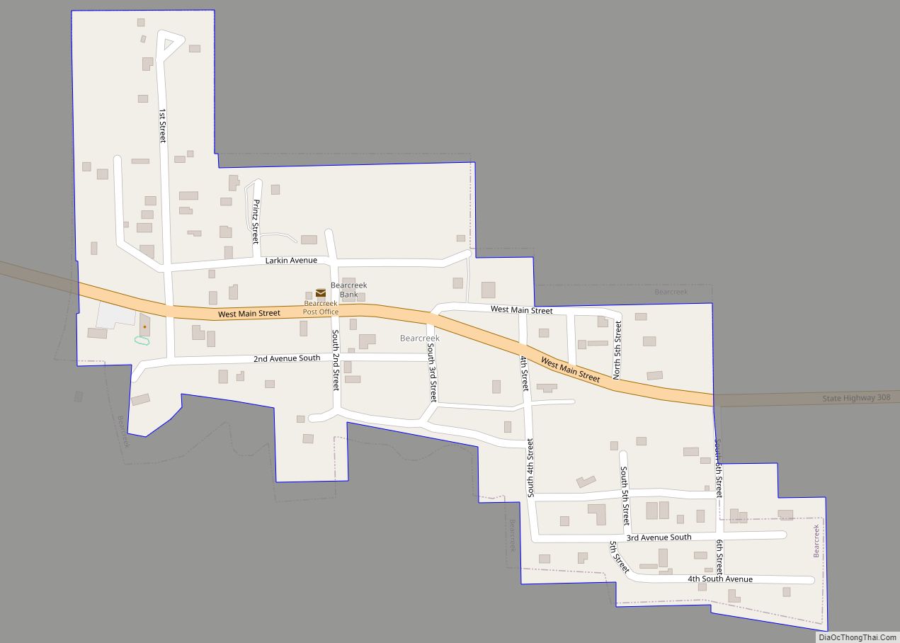
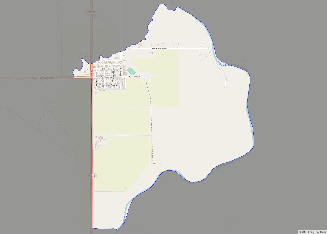
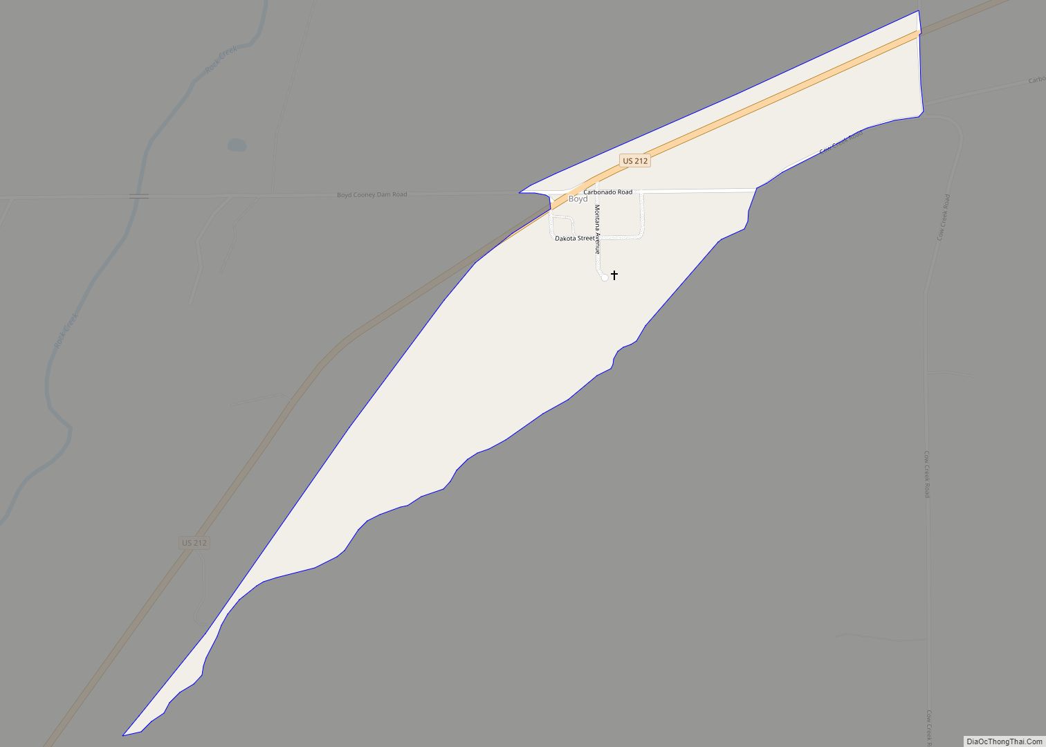
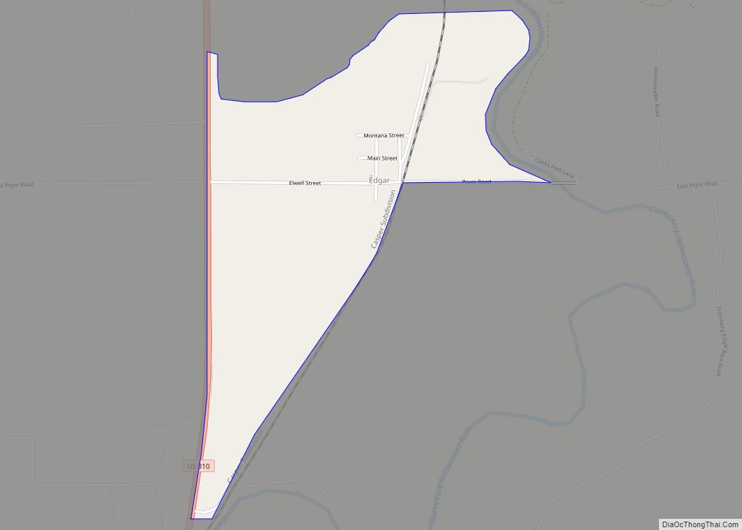
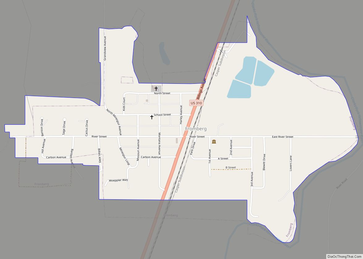
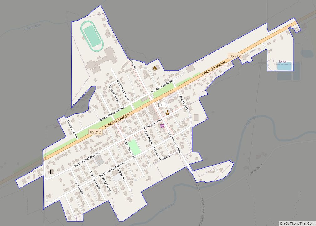
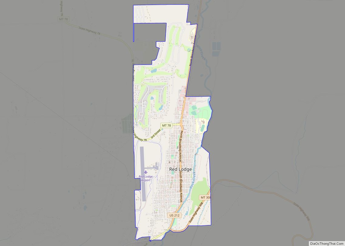
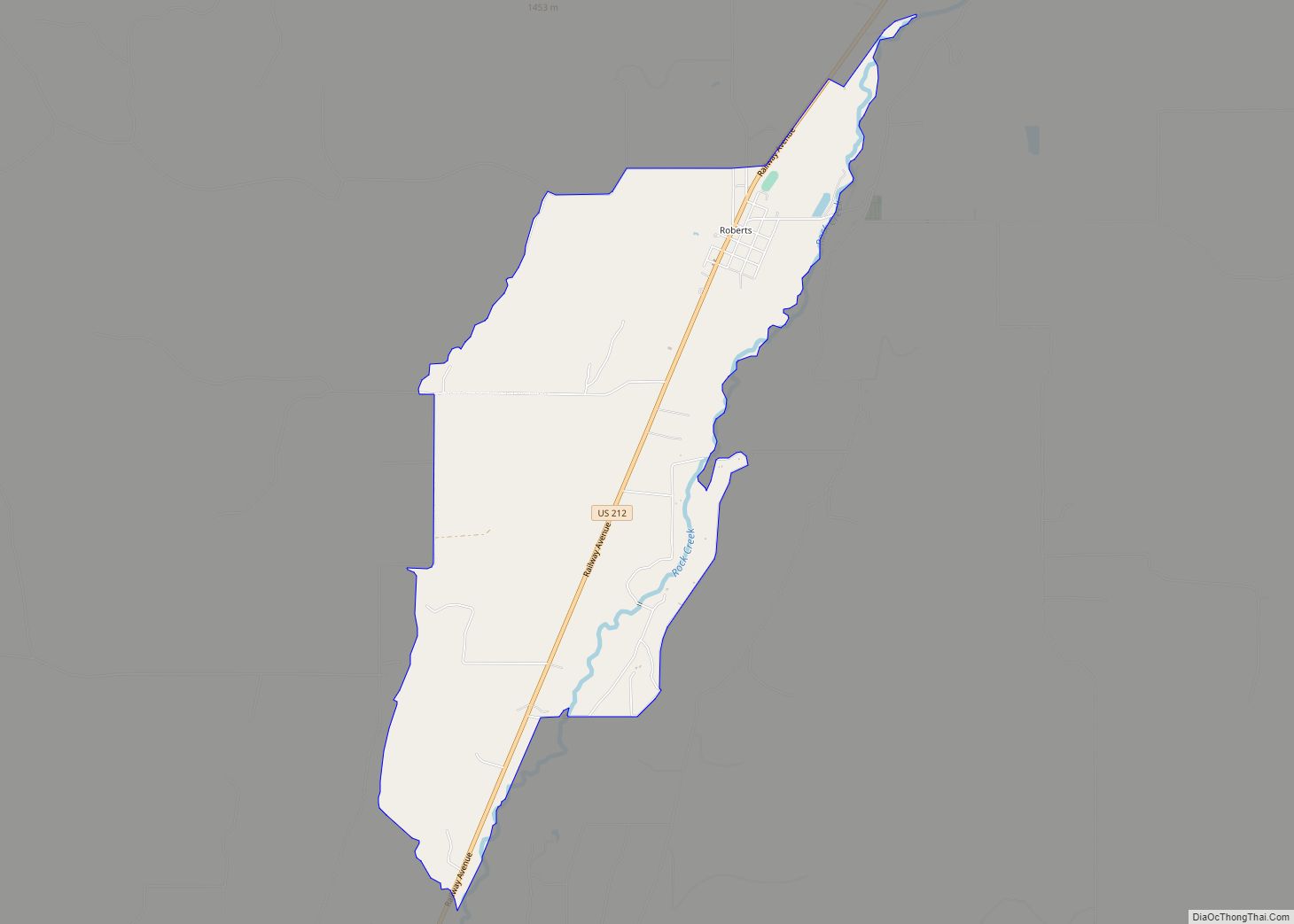
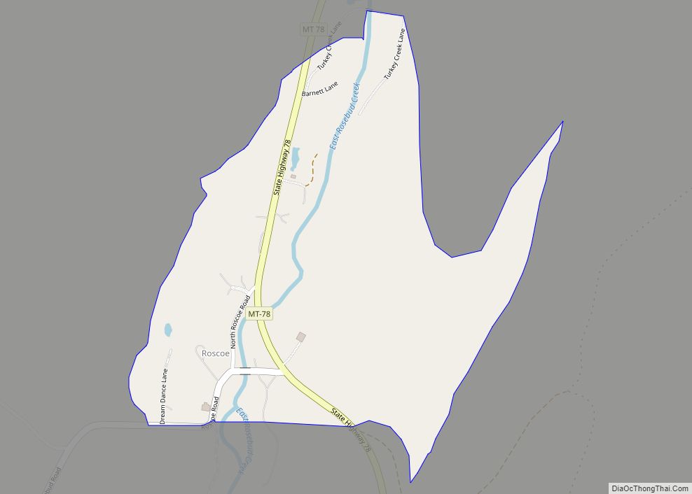
Online Interactive Map
Click on ![]() to view map in "full screen" mode.
to view map in "full screen" mode.
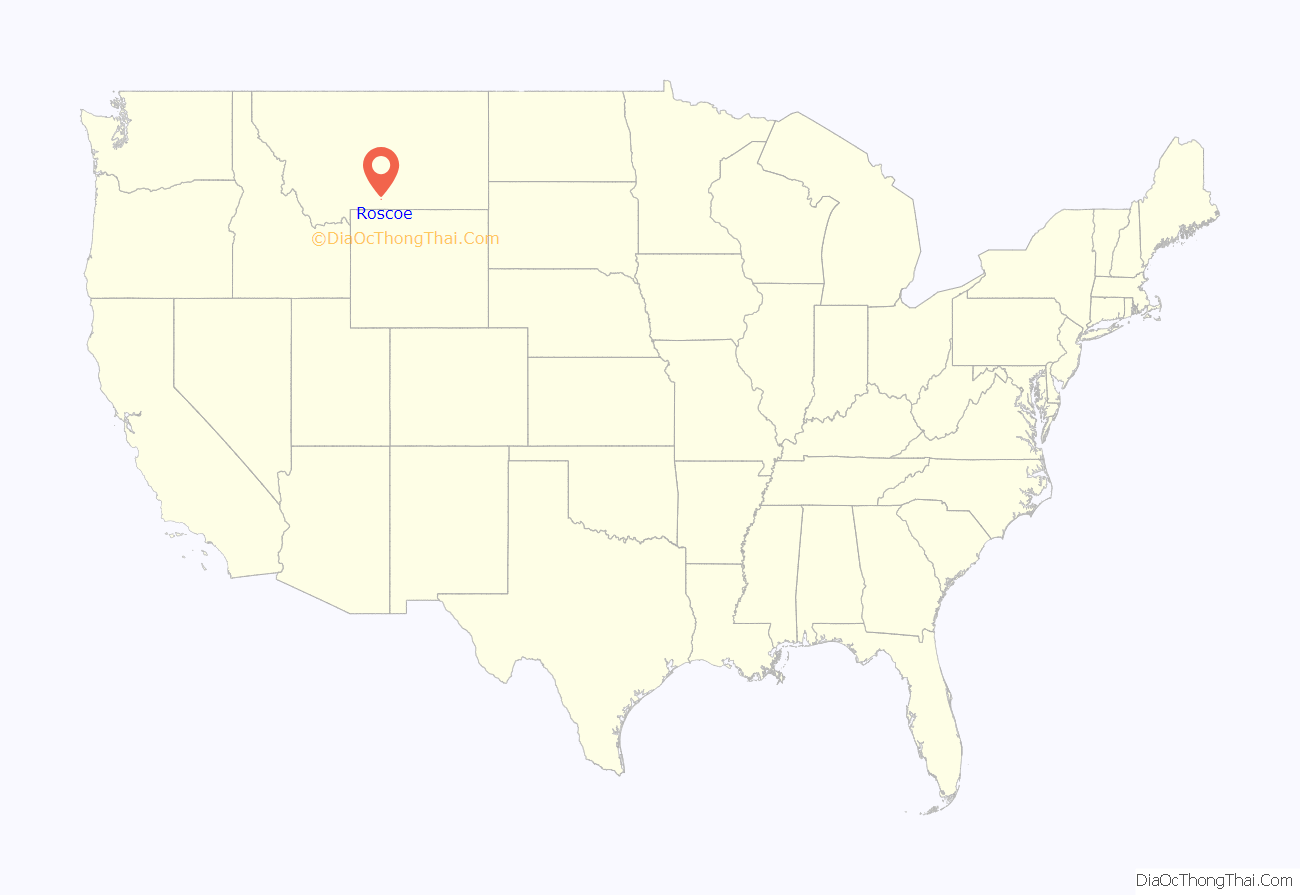
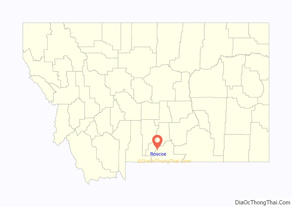
Roscoe location map. Where is Roscoe CDP?
History
Roscoe was originally called Morris. Its post office was established on July 6, 1901, with Timothy F. George at its first postmaster. The post office officially changed the name from Morris to Roscoe on February 14, 1905. This was to alleviate confusion with mail going to Norris, Montana.
Roscoe Road Map
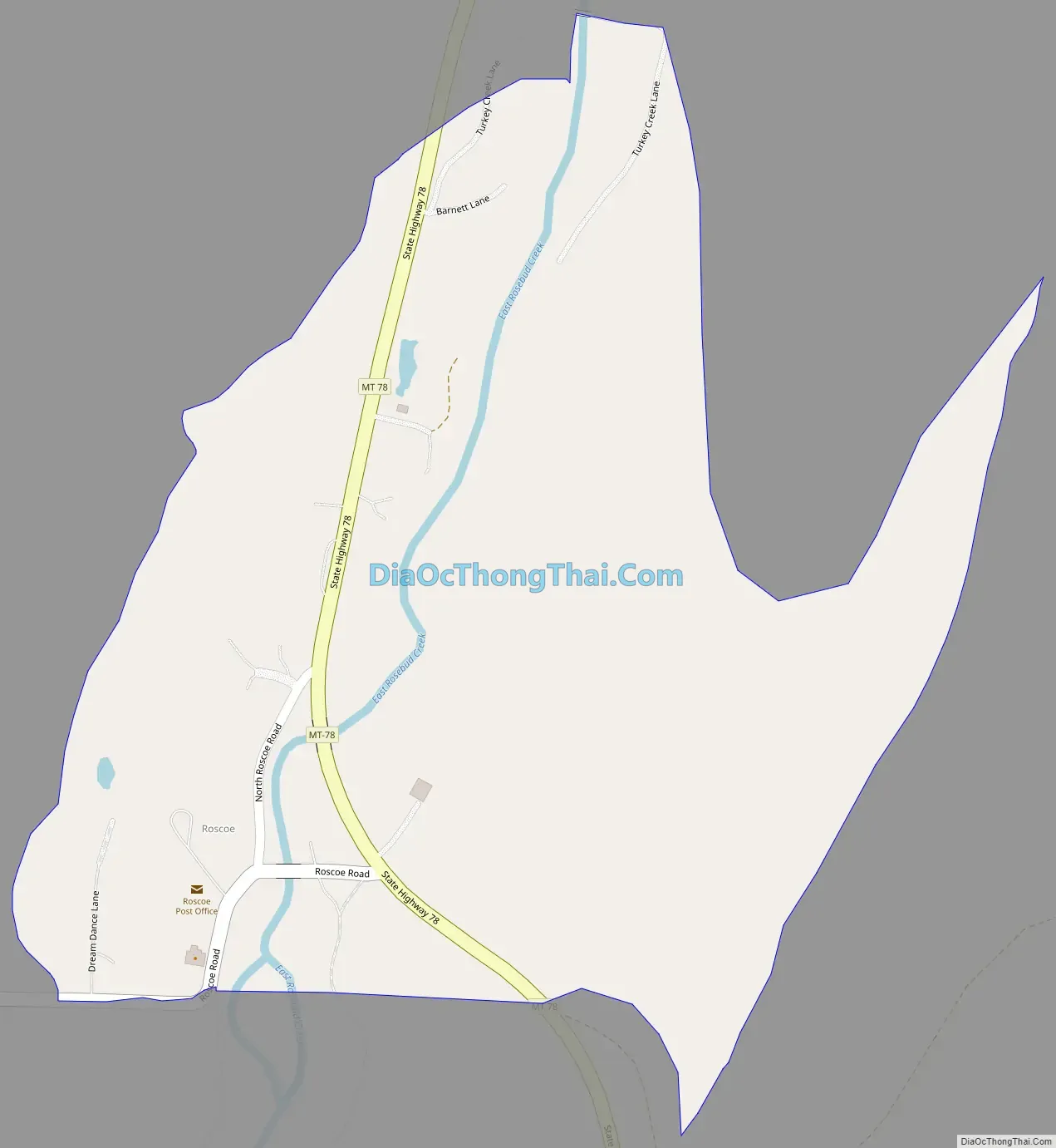
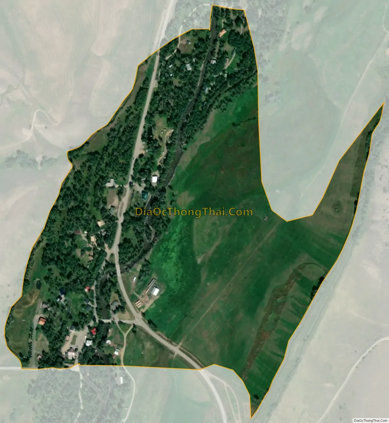
Roscoe city Satellite Map
See also
Map of Montana State and its subdivision:- Beaverhead
- Big Horn
- Blaine
- Broadwater
- Carbon
- Carter
- Cascade
- Chouteau
- Custer
- Daniels
- Dawson
- Deer Lodge
- Fallon
- Fergus
- Flathead
- Gallatin
- Garfield
- Glacier
- Golden Valley
- Granite
- Hill
- Jefferson
- Judith Basin
- Lake
- Lewis and Clark
- Liberty
- Lincoln
- Madison
- McCone
- Meagher
- Mineral
- Missoula
- Musselshell
- Park
- Petroleum
- Phillips
- Pondera
- Powder River
- Powell
- Prairie
- Ravalli
- Richland
- Roosevelt
- Rosebud
- Sanders
- Sheridan
- Silver Bow
- Stillwater
- Sweet Grass
- Teton
- Toole
- Treasure
- Valley
- Wheatland
- Wibaux
- Yellowstone
- Alabama
- Alaska
- Arizona
- Arkansas
- California
- Colorado
- Connecticut
- Delaware
- District of Columbia
- Florida
- Georgia
- Hawaii
- Idaho
- Illinois
- Indiana
- Iowa
- Kansas
- Kentucky
- Louisiana
- Maine
- Maryland
- Massachusetts
- Michigan
- Minnesota
- Mississippi
- Missouri
- Montana
- Nebraska
- Nevada
- New Hampshire
- New Jersey
- New Mexico
- New York
- North Carolina
- North Dakota
- Ohio
- Oklahoma
- Oregon
- Pennsylvania
- Rhode Island
- South Carolina
- South Dakota
- Tennessee
- Texas
- Utah
- Vermont
- Virginia
- Washington
- West Virginia
- Wisconsin
- Wyoming