Silesia is a census-designated place and unincorporated community in Carbon County, Montana, United States. As of the 2010 census it had a population of 96.
Clarks Fork Yellowstone River flows to the east of town. It is about 10 miles from Laurel.
| Name: | Silesia CDP |
|---|---|
| LSAD Code: | 57 |
| LSAD Description: | CDP (suffix) |
| State: | Montana |
| County: | Carbon County |
| Elevation: | 3,396 ft (1,035 m) |
| Total Area: | 1.93 sq mi (4.99 km²) |
| Land Area: | 1.87 sq mi (4.83 km²) |
| Water Area: | 0.06 sq mi (0.16 km²) |
| Total Population: | 103 |
| Population Density: | 55.17/sq mi (21.30/km²) |
| ZIP code: | 59041 |
| Area code: | 406 |
| FIPS code: | 3068050 |
| GNISfeature ID: | 776548 |
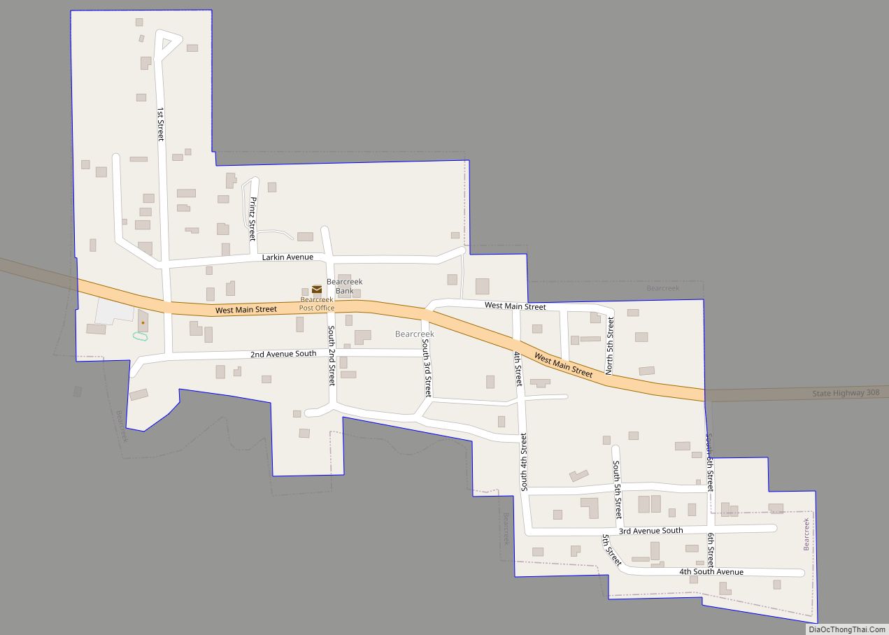
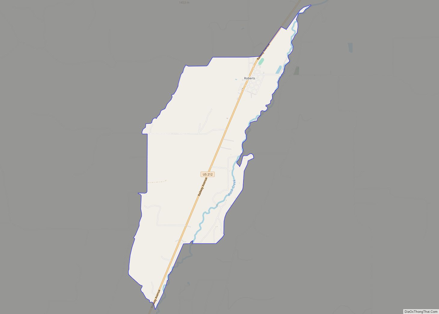
Online Interactive Map
Click on ![]() to view map in "full screen" mode.
to view map in "full screen" mode.
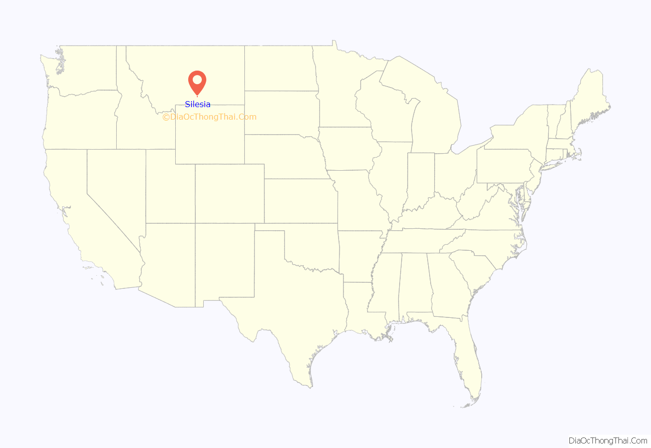
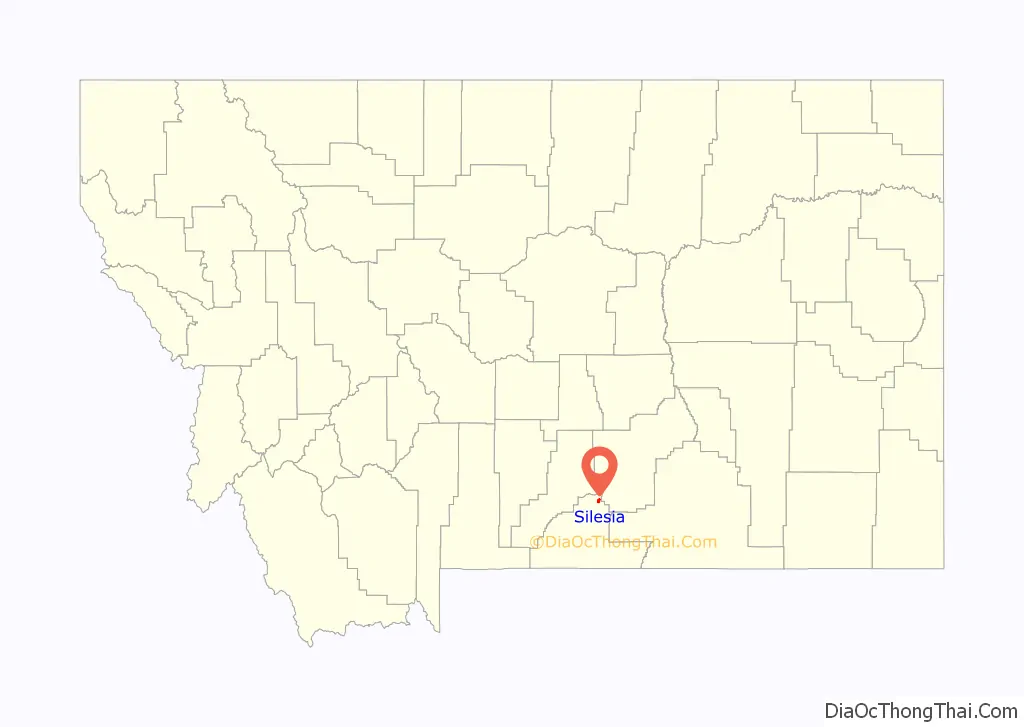
Silesia location map. Where is Silesia CDP?
History
The town was named after the region of Silesia in Central Europe by Julius Lehrkind, an immigrant from Silesia. Silesia’s post office was established on May 18, 1900, with Charles Buzzetti as its first postmaster.
Silesia Road Map
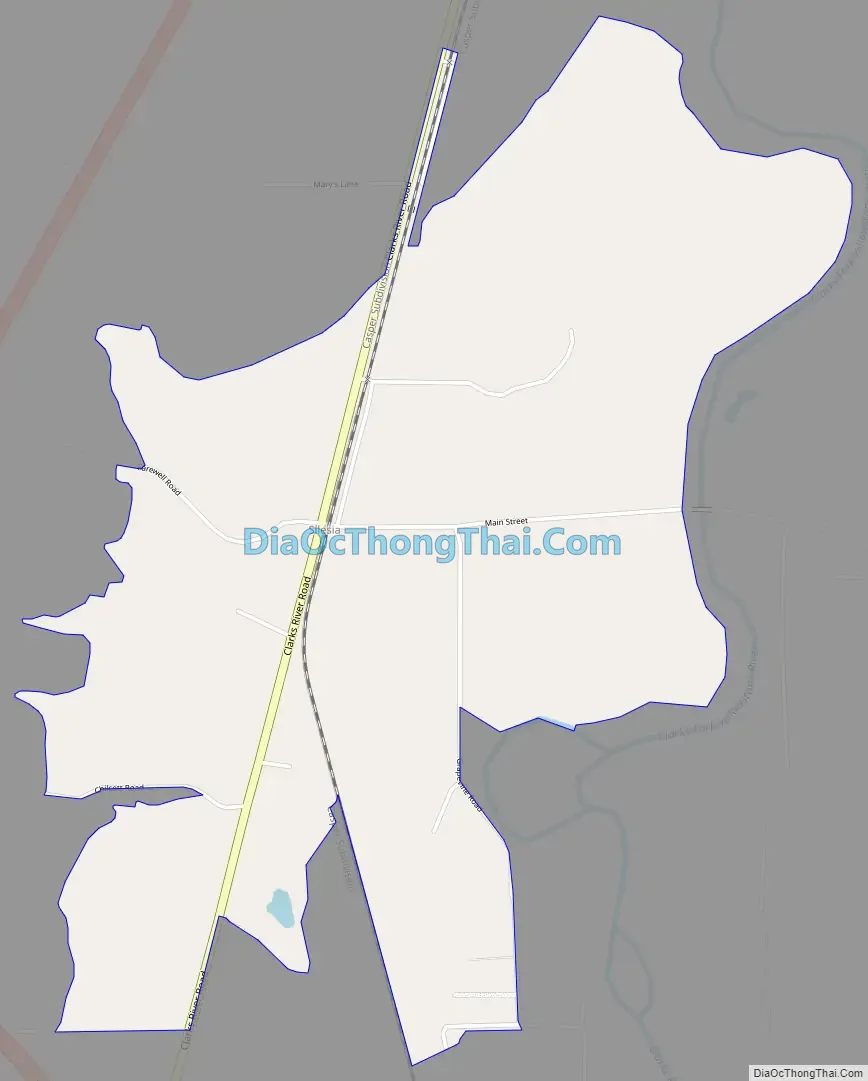
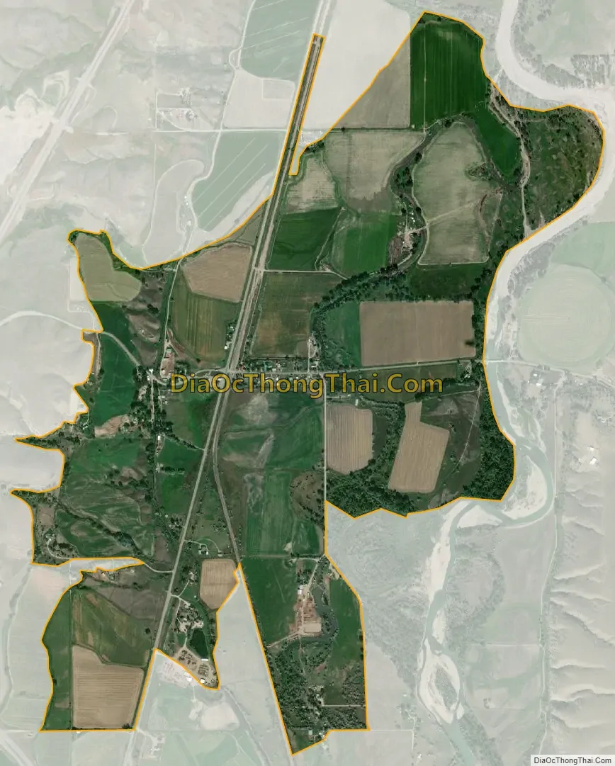
Silesia city Satellite Map
See also
Map of Montana State and its subdivision:- Beaverhead
- Big Horn
- Blaine
- Broadwater
- Carbon
- Carter
- Cascade
- Chouteau
- Custer
- Daniels
- Dawson
- Deer Lodge
- Fallon
- Fergus
- Flathead
- Gallatin
- Garfield
- Glacier
- Golden Valley
- Granite
- Hill
- Jefferson
- Judith Basin
- Lake
- Lewis and Clark
- Liberty
- Lincoln
- Madison
- McCone
- Meagher
- Mineral
- Missoula
- Musselshell
- Park
- Petroleum
- Phillips
- Pondera
- Powder River
- Powell
- Prairie
- Ravalli
- Richland
- Roosevelt
- Rosebud
- Sanders
- Sheridan
- Silver Bow
- Stillwater
- Sweet Grass
- Teton
- Toole
- Treasure
- Valley
- Wheatland
- Wibaux
- Yellowstone
- Alabama
- Alaska
- Arizona
- Arkansas
- California
- Colorado
- Connecticut
- Delaware
- District of Columbia
- Florida
- Georgia
- Hawaii
- Idaho
- Illinois
- Indiana
- Iowa
- Kansas
- Kentucky
- Louisiana
- Maine
- Maryland
- Massachusetts
- Michigan
- Minnesota
- Mississippi
- Missouri
- Montana
- Nebraska
- Nevada
- New Hampshire
- New Jersey
- New Mexico
- New York
- North Carolina
- North Dakota
- Ohio
- Oklahoma
- Oregon
- Pennsylvania
- Rhode Island
- South Carolina
- South Dakota
- Tennessee
- Texas
- Utah
- Vermont
- Virginia
- Washington
- West Virginia
- Wisconsin
- Wyoming