Terry, incorporated in 1910, is a town in and the county seat of Prairie County, Montana, United States. The population was 562 at the 2020 census.
| Name: | Terry town |
|---|---|
| LSAD Code: | 43 |
| LSAD Description: | town (suffix) |
| State: | Montana |
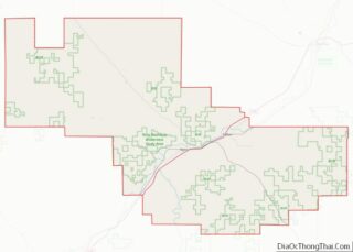
| County: | Prairie County |
| Elevation: | 2,251 ft (686 m) |
| Total Area: | 0.78 sq mi (2.02 km²) |
| Land Area: | 0.78 sq mi (2.02 km²) |
| Water Area: | 0.00 sq mi (0.00 km²) |
| Total Population: | 562 |
| Population Density: | 719.59/sq mi (277.75/km²) |
| ZIP code: | 59349 |
| Area code: | 406 |
| FIPS code: | 3073675 |
| GNISfeature ID: | 0777474 |
| Website: | townofterry.com |
Online Interactive Map
Click on ![]() to view map in "full screen" mode.
to view map in "full screen" mode.
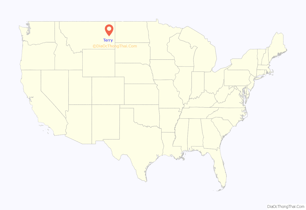
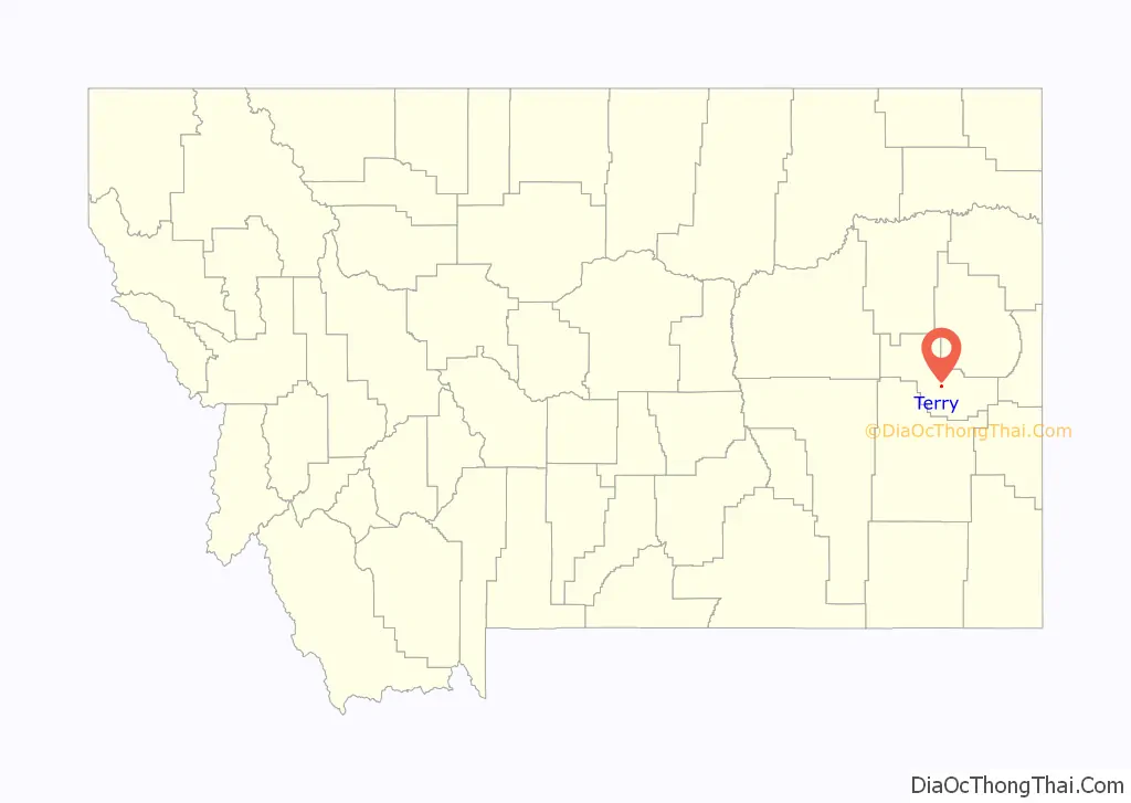
Terry location map. Where is Terry town?
History
The site where Terry is located was first called Joubert’s Landing, in recognition of the man who built a supply point along the Yellowstone River for freighters traveling from Bismarck, Dakota Territory, to Miles City, Montana Territory. When the Northern Pacific Railway’s transcontinental rail line arrived in 1881, the town was renamed for Alfred Howe Terry, a General in the Union Army who commanded an 1876 expedition in connection with George Armstrong Custer’s campaign against Native Americans, specifically in the west.
Terry became a two-railroad town when the Milwaukee Road constructed a transcontinental line known as the Pacific Extension through the town in the early 20th century. The Custer Creek train wreck, the worst rail disaster in Montana history, occurred near Terry along this line in 1938.
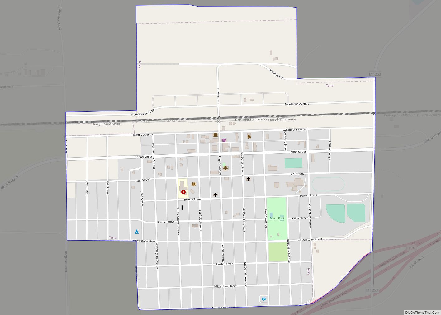
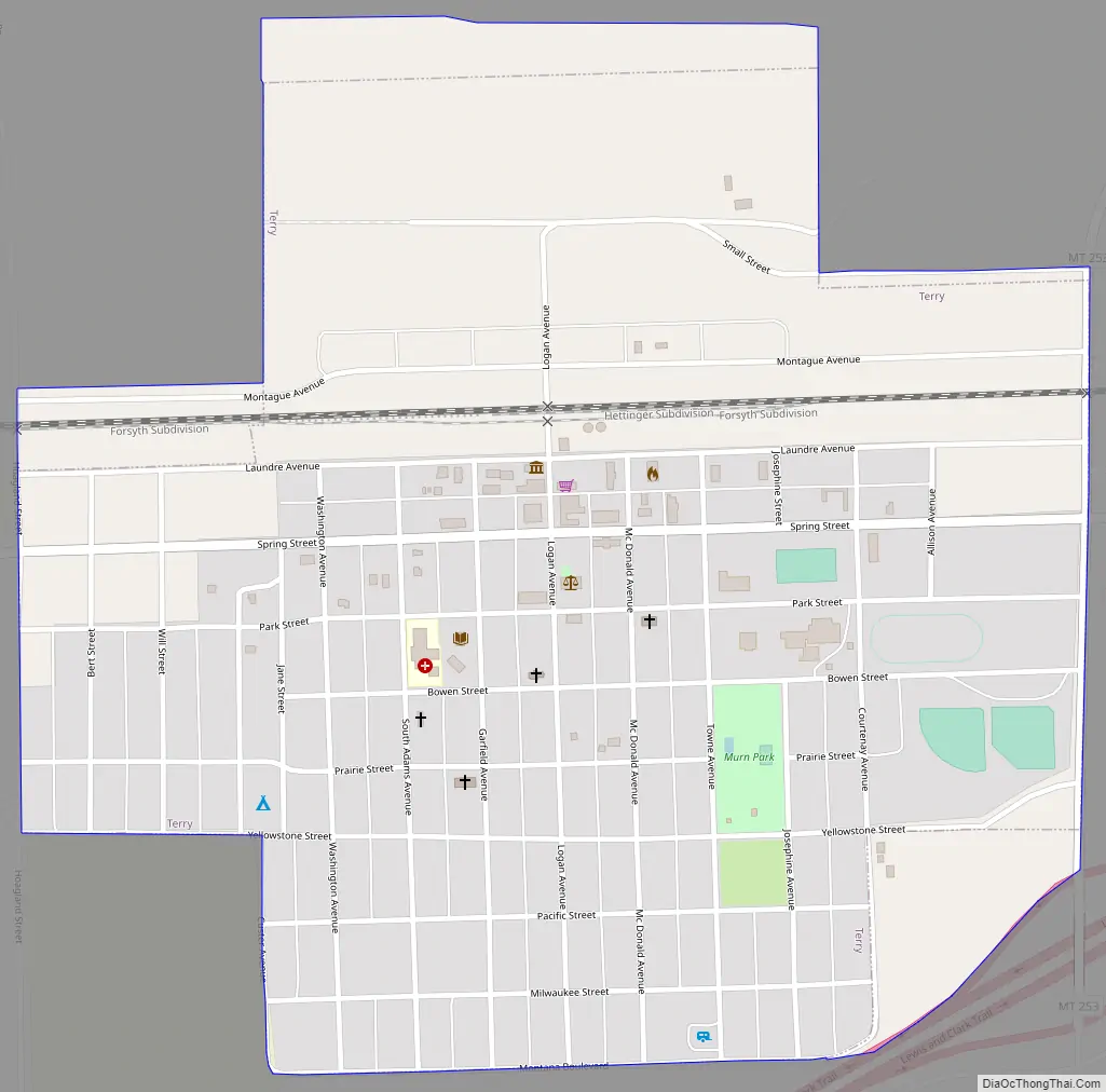
Terry Road Map
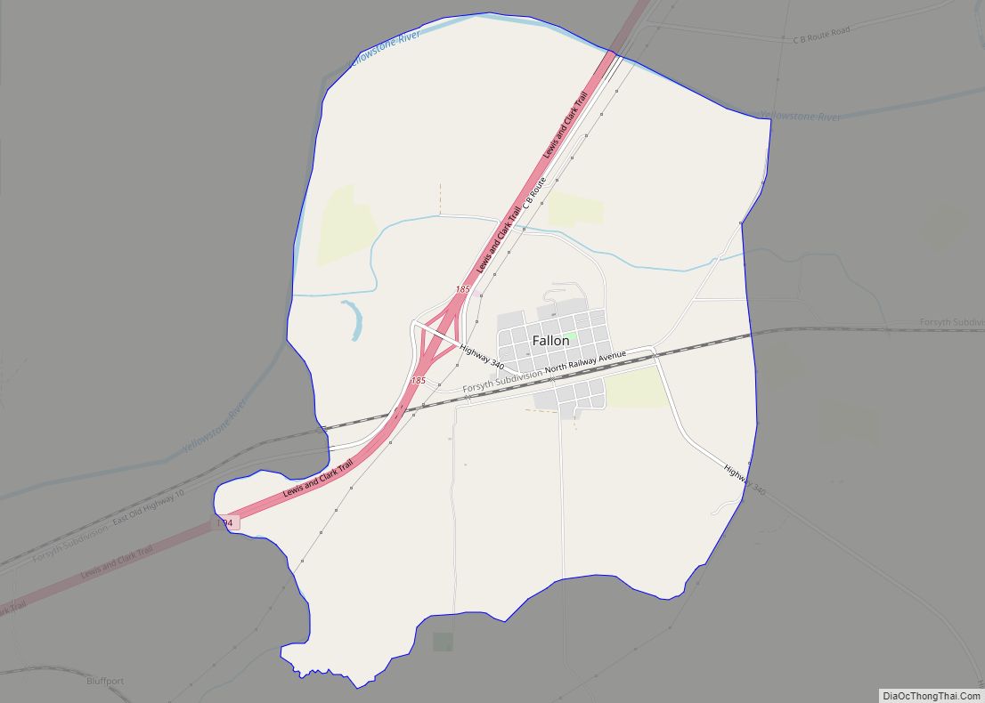
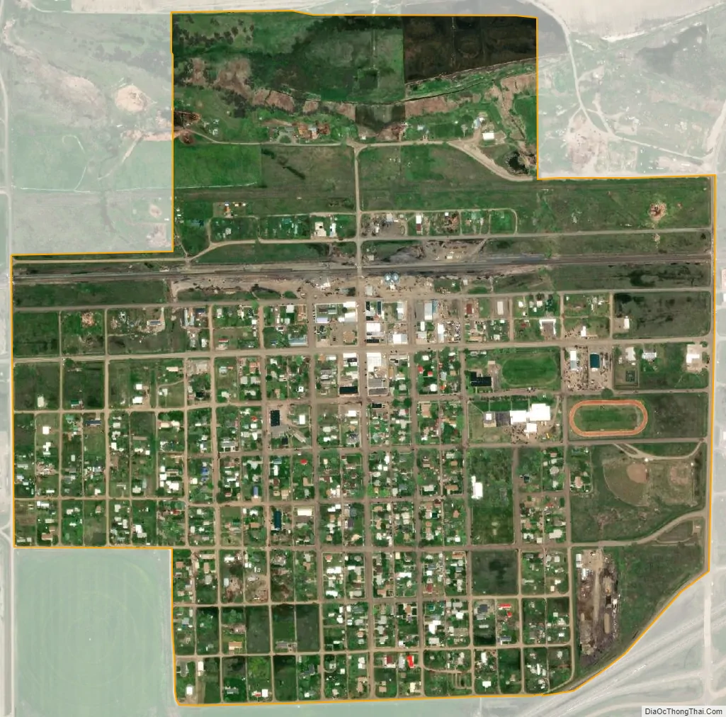
Terry city Satellite Map
Geography
Terry is located at 46°47′24″N 105°18′48″W / 46.79000°N 105.31333°W / 46.79000; -105.31333 (46.790099, −105.313431), in Eastern Montana, approximately 1 km (0.62 mi) south of the Yellowstone River.
According to the United States Census Bureau, the town has a total area of 0.71 square miles (1.84 km), all land. It is located just north of Interstate 94, at the cross roads of old highway 10 and highway 253.
The town on average has over 200 days of sunshine a year.
The average annual snowfall is 17.6 inches a year.
The Terry Badlands lie just north of the Yellowstone River, and is one of the wilderness study areas in Montana.
See also
Map of Montana State and its subdivision:- Beaverhead
- Big Horn
- Blaine
- Broadwater
- Carbon
- Carter
- Cascade
- Chouteau
- Custer
- Daniels
- Dawson
- Deer Lodge
- Fallon
- Fergus
- Flathead
- Gallatin
- Garfield
- Glacier
- Golden Valley
- Granite
- Hill
- Jefferson
- Judith Basin
- Lake
- Lewis and Clark
- Liberty
- Lincoln
- Madison
- McCone
- Meagher
- Mineral
- Missoula
- Musselshell
- Park
- Petroleum
- Phillips
- Pondera
- Powder River
- Powell
- Prairie
- Ravalli
- Richland
- Roosevelt
- Rosebud
- Sanders
- Sheridan
- Silver Bow
- Stillwater
- Sweet Grass
- Teton
- Toole
- Treasure
- Valley
- Wheatland
- Wibaux
- Yellowstone
- Alabama
- Alaska
- Arizona
- Arkansas
- California
- Colorado
- Connecticut
- Delaware
- District of Columbia
- Florida
- Georgia
- Hawaii
- Idaho
- Illinois
- Indiana
- Iowa
- Kansas
- Kentucky
- Louisiana
- Maine
- Maryland
- Massachusetts
- Michigan
- Minnesota
- Mississippi
- Missouri
- Montana
- Nebraska
- Nevada
- New Hampshire
- New Jersey
- New Mexico
- New York
- North Carolina
- North Dakota
- Ohio
- Oklahoma
- Oregon
- Pennsylvania
- Rhode Island
- South Carolina
- South Dakota
- Tennessee
- Texas
- Utah
- Vermont
- Virginia
- Washington
- West Virginia
- Wisconsin
- Wyoming