Three Forks is a city in Gallatin County, Montana, United States and is located within the watershed valley system of both the Missouri and Mississippi rivers drainage basins — and is historically considered the birthplace or start of the Missouri River. The population was 1,989 at the 2020 census. The city of Three Forks is named so because it lies geographically near the point, in nearby Missouri Headwaters State Park, where the Jefferson, Madison, and Gallatin rivers converge to form the Missouri River — the longest single river in North America, as well as the major portion of the Missouri–Mississippi River System from the headwaters near Three Forks to its discharge into the Gulf of Mexico. Three Forks is part of the Bozeman, MT Micropolitan Statistical Area of approximately 100,000 people and located thirty miles west of Bozeman.
| Name: | Three Forks city |
|---|---|
| LSAD Code: | 25 |
| LSAD Description: | city (suffix) |
| State: | Montana |
| County: | Gallatin County |
| Elevation: | 4,075 ft (1,242 m) |
| Total Area: | 1.50 sq mi (3.88 km²) |
| Land Area: | 1.44 sq mi (3.73 km²) |
| Water Area: | 0.06 sq mi (0.15 km²) |
| Total Population: | 1,989 |
| Population Density: | 1,382.21/sq mi (533.74/km²) |
| ZIP code: | 59752 |
| Area code: | 406 |
| FIPS code: | 3073975 |
| GNISfeature ID: | 0777603 |
| Website: | http://www.threeforksmontana.us |
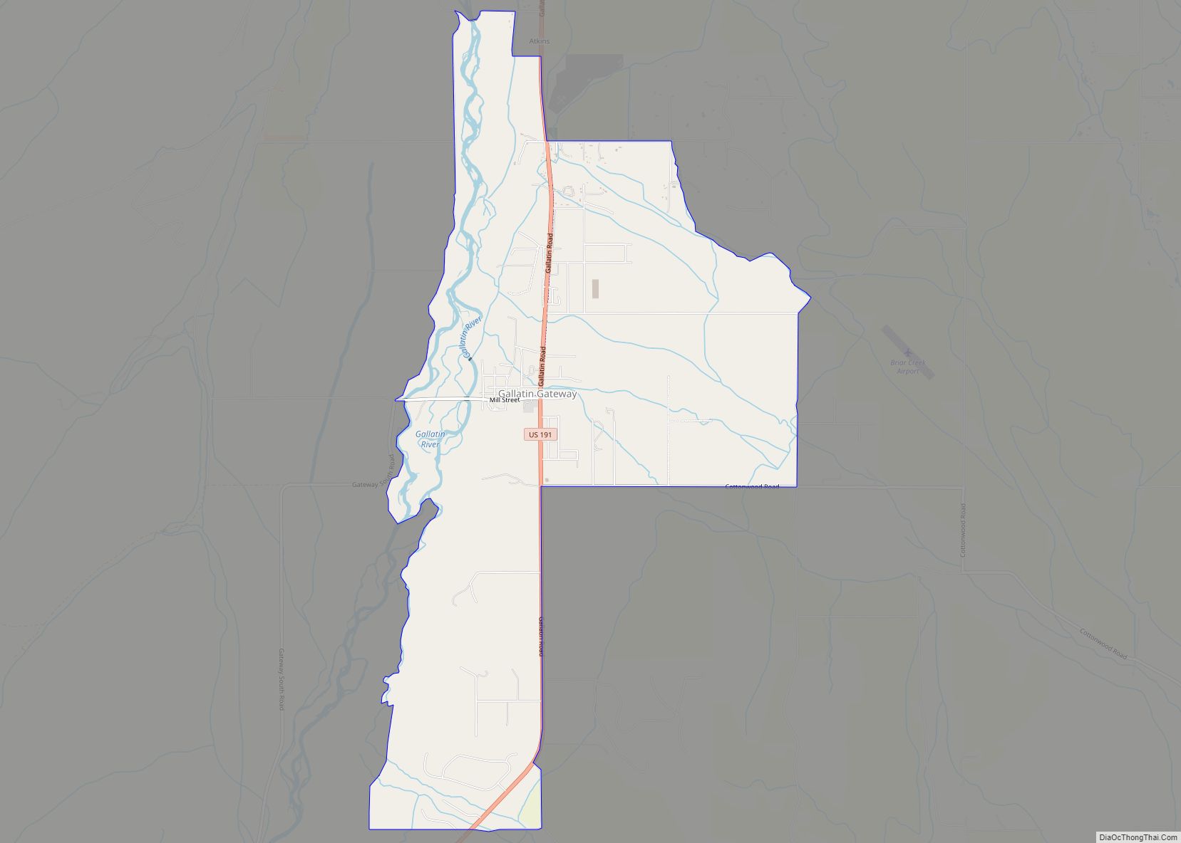
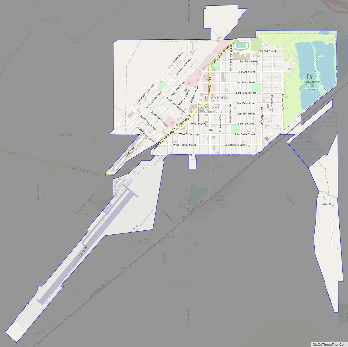
Online Interactive Map
Click on ![]() to view map in "full screen" mode.
to view map in "full screen" mode.
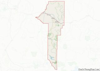
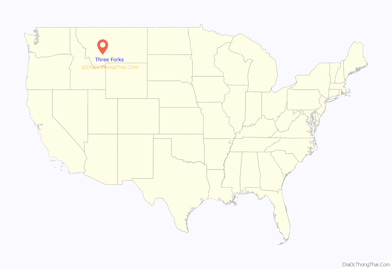
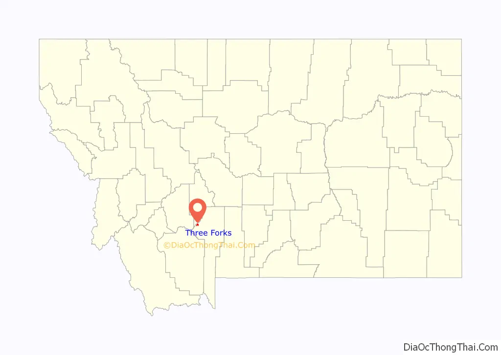
Three Forks location map. Where is Three Forks city?
History
The three rivers, west to east, were named by Meriwether Lewis in late July 1805 for President Thomas Jefferson, Secretary of State James Madison, and Treasury Secretary Albert Gallatin which was in the times the genesis of a mild controversy and eventually spawned a modern-day geographical controversy—in both cases regarding length comparisons between the Missouri and Mississippi rivers. Today the two confluences are incorporated inside Missouri Headwaters State Park, which is also a U.S. National Historic Landmark.
The Lewis and Clark expedition visited the site on July 28, 1805. Meriwether Lewis in his journal entry wrote:
One consequence of their decision to designate, map and name the Jefferson—the largest— as a separate tributary river, is that today the Mississippi River can arguably be called longer than the Missouri River because extensive re-channelization of the streambed for hydroelectric power projects has shortened the river while the Mississippi Delta has grown, lengthening the rival river.
Honored in Three Forks, the Indian woman Sacagawea is best known as the interpreter and guide for the Lewis and Clark Expedition. In 1800, she was captured by the Mennetaree tribe near the present site of Three Forks. She later returned to this area with Lewis and Clark and the Corps of Discovery. A statue of Sacagawea now sits in a park off Main Street.
The present-day city of Three Forks was founded September 17, 1908 by John Q. Adams, a Milwaukee Road land agent. The Milwaukee (Railroad) Land Co., platted the town and held a lot sale that day. Some buildings were moved to the present city from “Old Town Three Forks”, a mile to the northeast. The city became a division point on the Milwaukee Road’s Rocky Mountain Division and was an important hub for the railroad during the existence of the Milwaukee in Montana (1908-1980).
Two banks for the town were chartered in 1909 and 1910; John Q. Adams financed construction of the latter one, the Three Valleys State Bank, whose building survives, is listed on the National Register of Historic Places, and serves as a local history museum. The town’s early growth prospects foundered from the effects of economic depression, crop failures, and an earthquake that hit the town on June 27, 1925, damaging all of its brick buildings. The town’s population never reached the 10,000 level that some once hoped for, and dropped to about 1,000. Some prosperity returned during and after World War II, and population has grown modestly since.
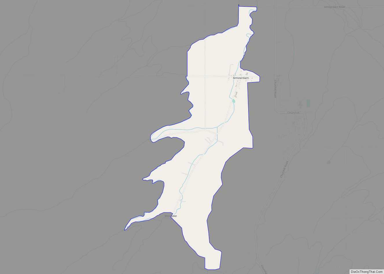
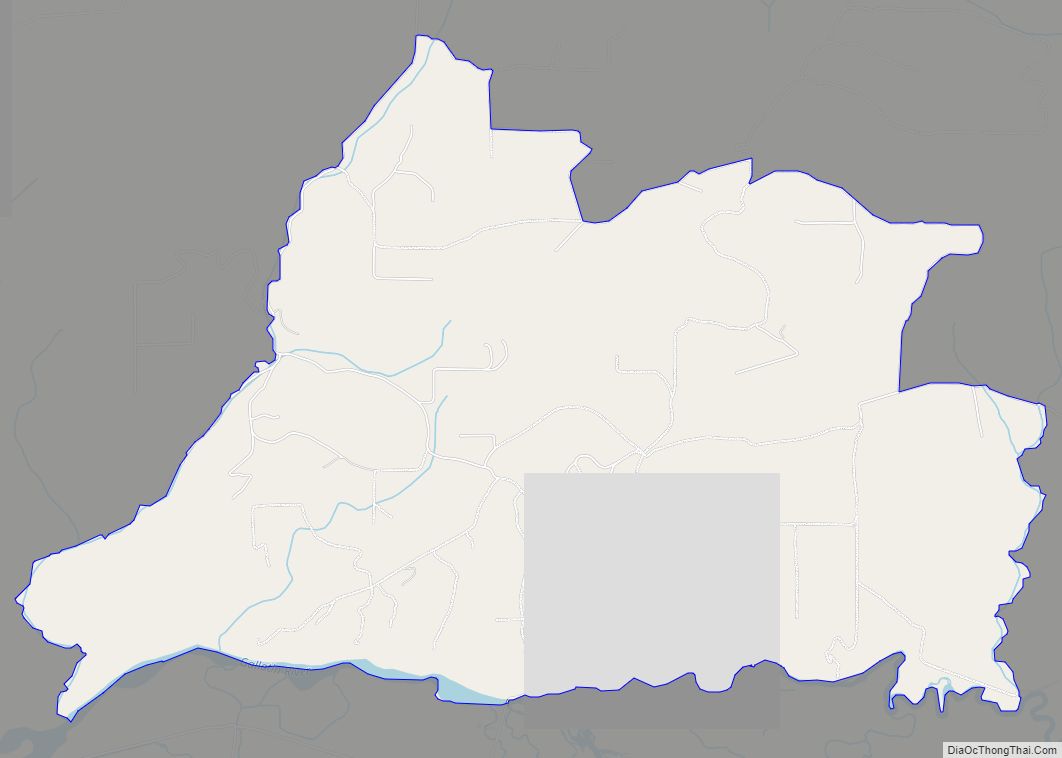
Three Forks Road Map
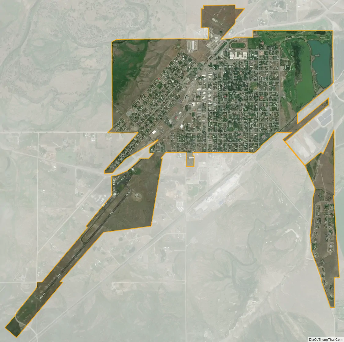
Three Forks city Satellite Map
Geography
Three Forks is located at 45°53′29″N 111°33′6″W / 45.89139°N 111.55167°W / 45.89139; -111.55167 (45.891334, -111.551532).
According to the United States Census Bureau, the city has a total area of 1.50 square miles (3.88 km), of which 1.44 square miles (3.73 km) is land and 0.06 square miles (0.16 km) is water.
Climate
See also
Map of Montana State and its subdivision:- Beaverhead
- Big Horn
- Blaine
- Broadwater
- Carbon
- Carter
- Cascade
- Chouteau
- Custer
- Daniels
- Dawson
- Deer Lodge
- Fallon
- Fergus
- Flathead
- Gallatin
- Garfield
- Glacier
- Golden Valley
- Granite
- Hill
- Jefferson
- Judith Basin
- Lake
- Lewis and Clark
- Liberty
- Lincoln
- Madison
- McCone
- Meagher
- Mineral
- Missoula
- Musselshell
- Park
- Petroleum
- Phillips
- Pondera
- Powder River
- Powell
- Prairie
- Ravalli
- Richland
- Roosevelt
- Rosebud
- Sanders
- Sheridan
- Silver Bow
- Stillwater
- Sweet Grass
- Teton
- Toole
- Treasure
- Valley
- Wheatland
- Wibaux
- Yellowstone
- Alabama
- Alaska
- Arizona
- Arkansas
- California
- Colorado
- Connecticut
- Delaware
- District of Columbia
- Florida
- Georgia
- Hawaii
- Idaho
- Illinois
- Indiana
- Iowa
- Kansas
- Kentucky
- Louisiana
- Maine
- Maryland
- Massachusetts
- Michigan
- Minnesota
- Mississippi
- Missouri
- Montana
- Nebraska
- Nevada
- New Hampshire
- New Jersey
- New Mexico
- New York
- North Carolina
- North Dakota
- Ohio
- Oklahoma
- Oregon
- Pennsylvania
- Rhode Island
- South Carolina
- South Dakota
- Tennessee
- Texas
- Utah
- Vermont
- Virginia
- Washington
- West Virginia
- Wisconsin
- Wyoming