Turtle Lake (Salish: čɫqq̓liʔ ) is a census-designated place (CDP) in Lake County, Montana, United States. The population was 209 at the 2010 census.
| Name: | Turtle Lake CDP |
|---|---|
| LSAD Code: | 57 |
| LSAD Description: | CDP (suffix) |
| State: | Montana |
| County: | Lake County |
| Elevation: | 3,097 ft (944 m) |
| Total Area: | 0.66 sq mi (1.71 km²) |
| Land Area: | 0.60 sq mi (1.55 km²) |
| Water Area: | 0.06 sq mi (0.16 km²) |
| Total Population: | 251 |
| Population Density: | 419.73/sq mi (162.10/km²) |
| Area code: | 406 |
| FIPS code: | 3075287 |
| GNISfeature ID: | 1853190 |
Online Interactive Map
Click on ![]() to view map in "full screen" mode.
to view map in "full screen" mode.
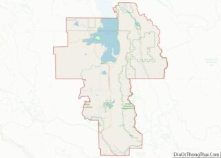
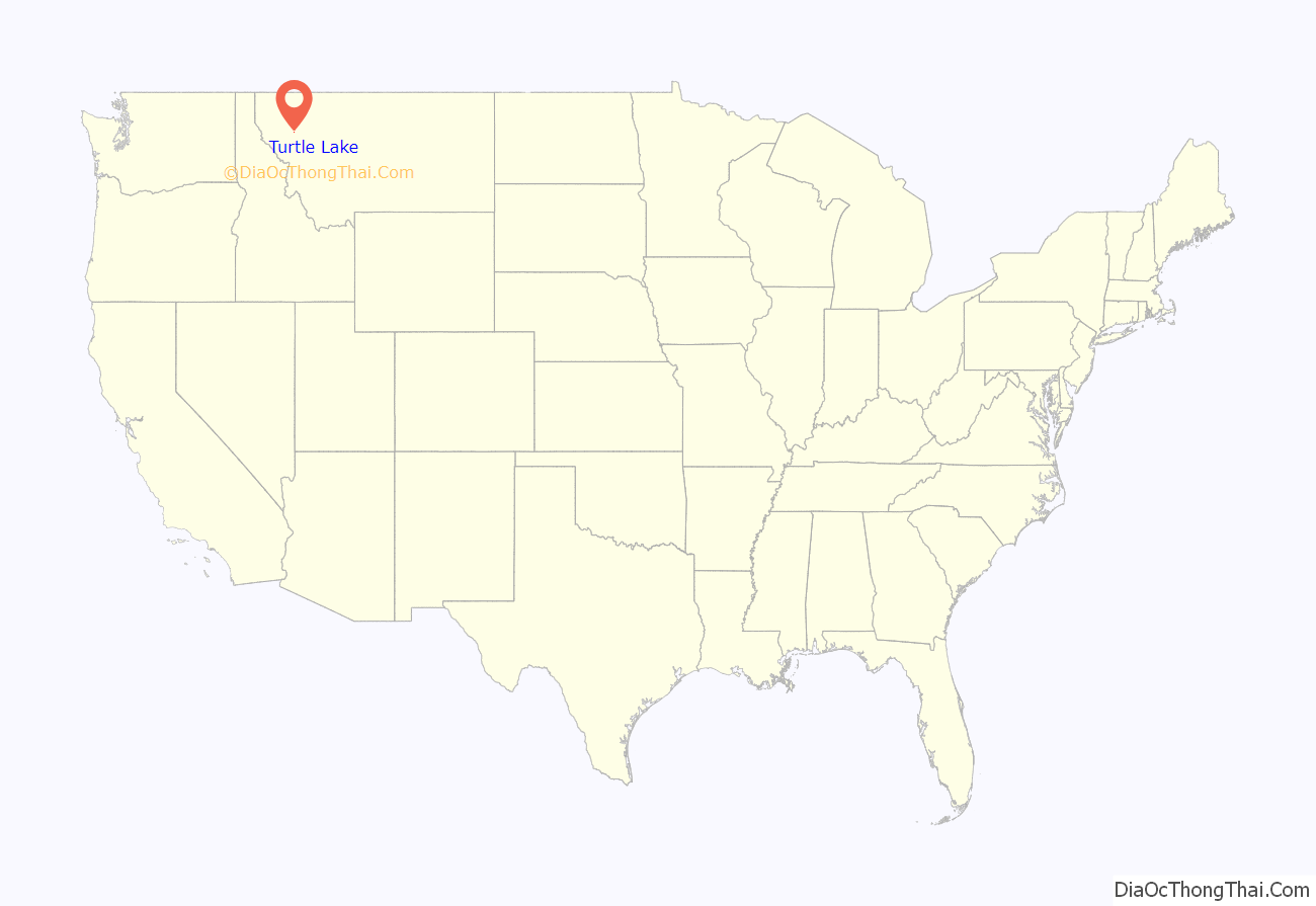
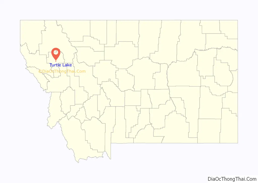
Turtle Lake location map. Where is Turtle Lake CDP?
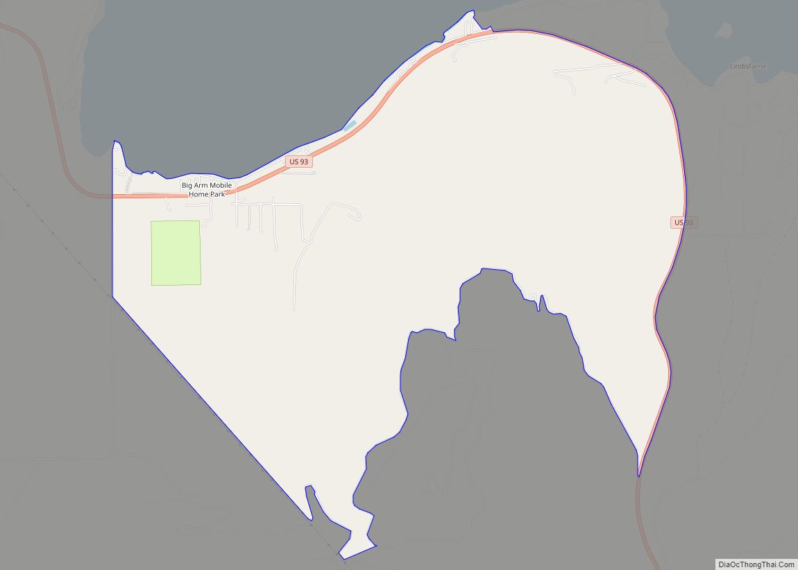
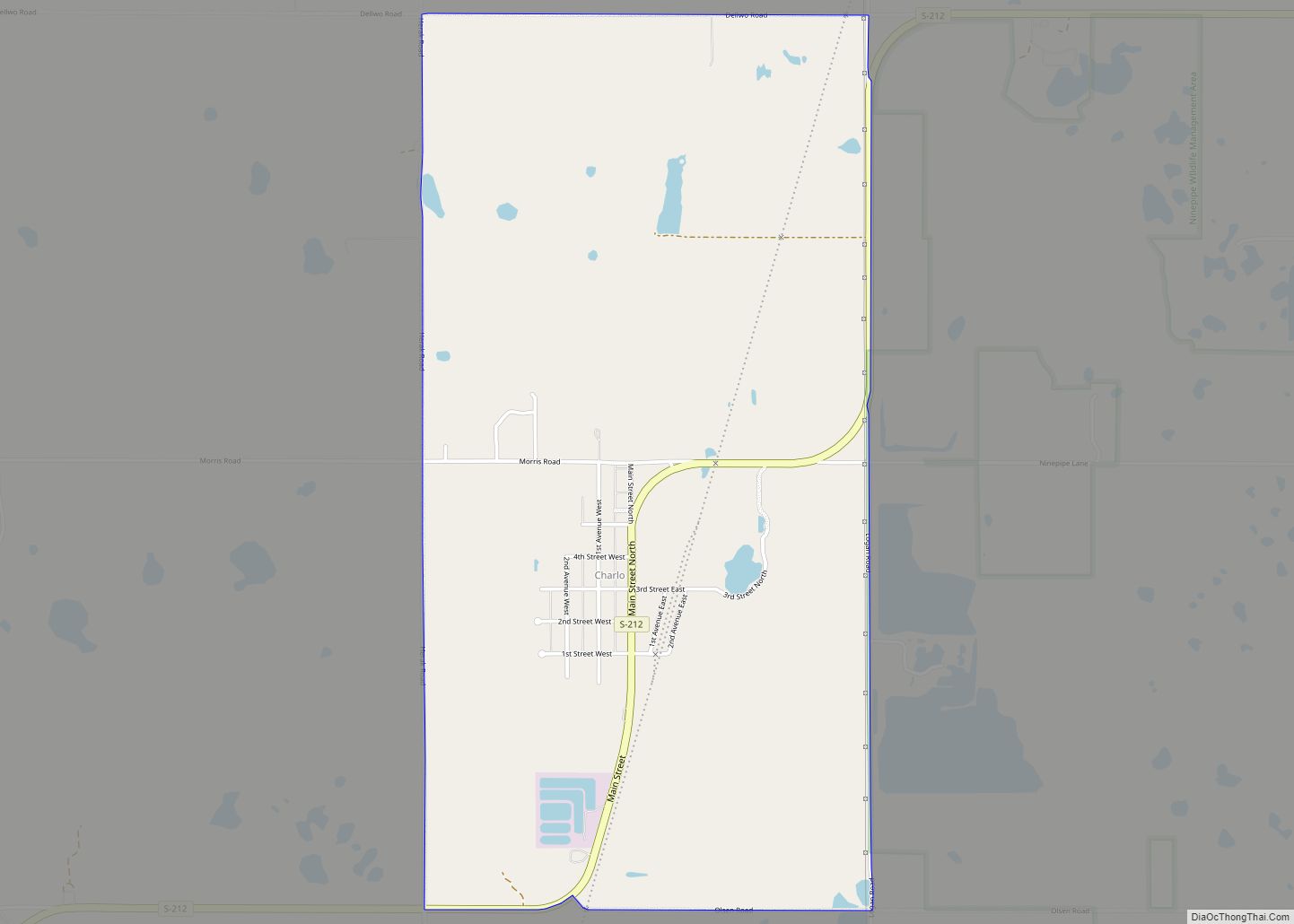
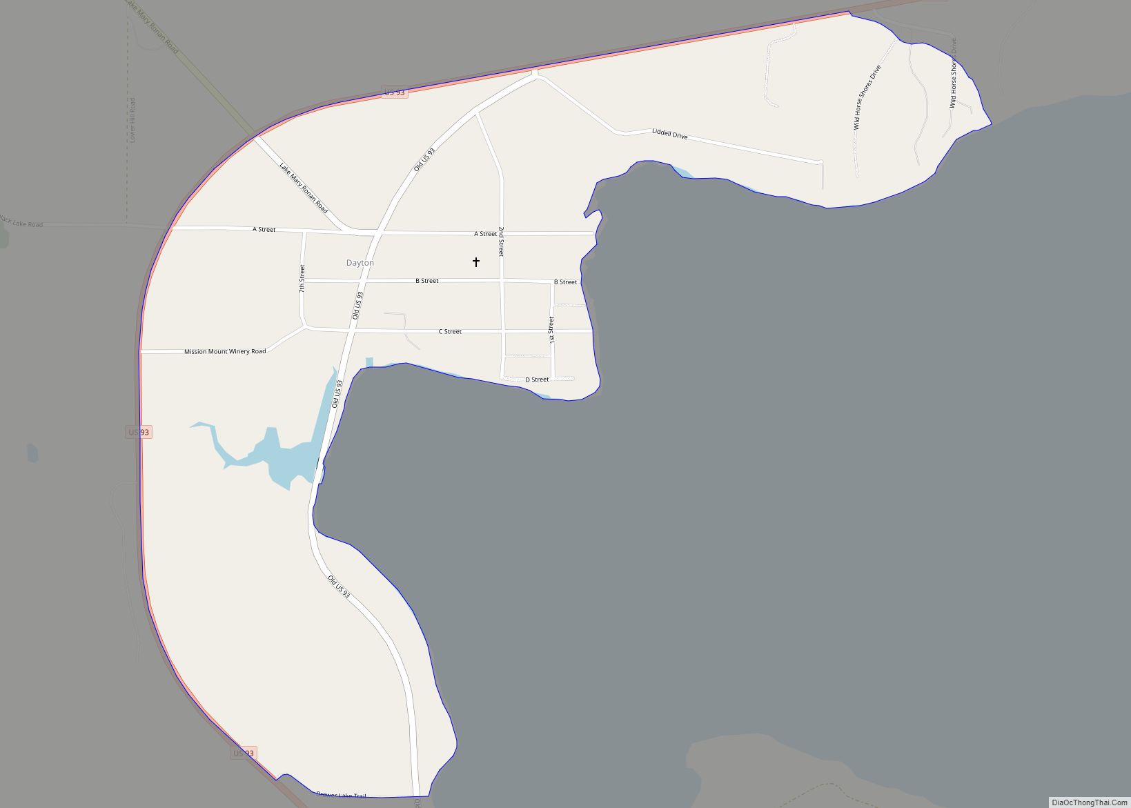
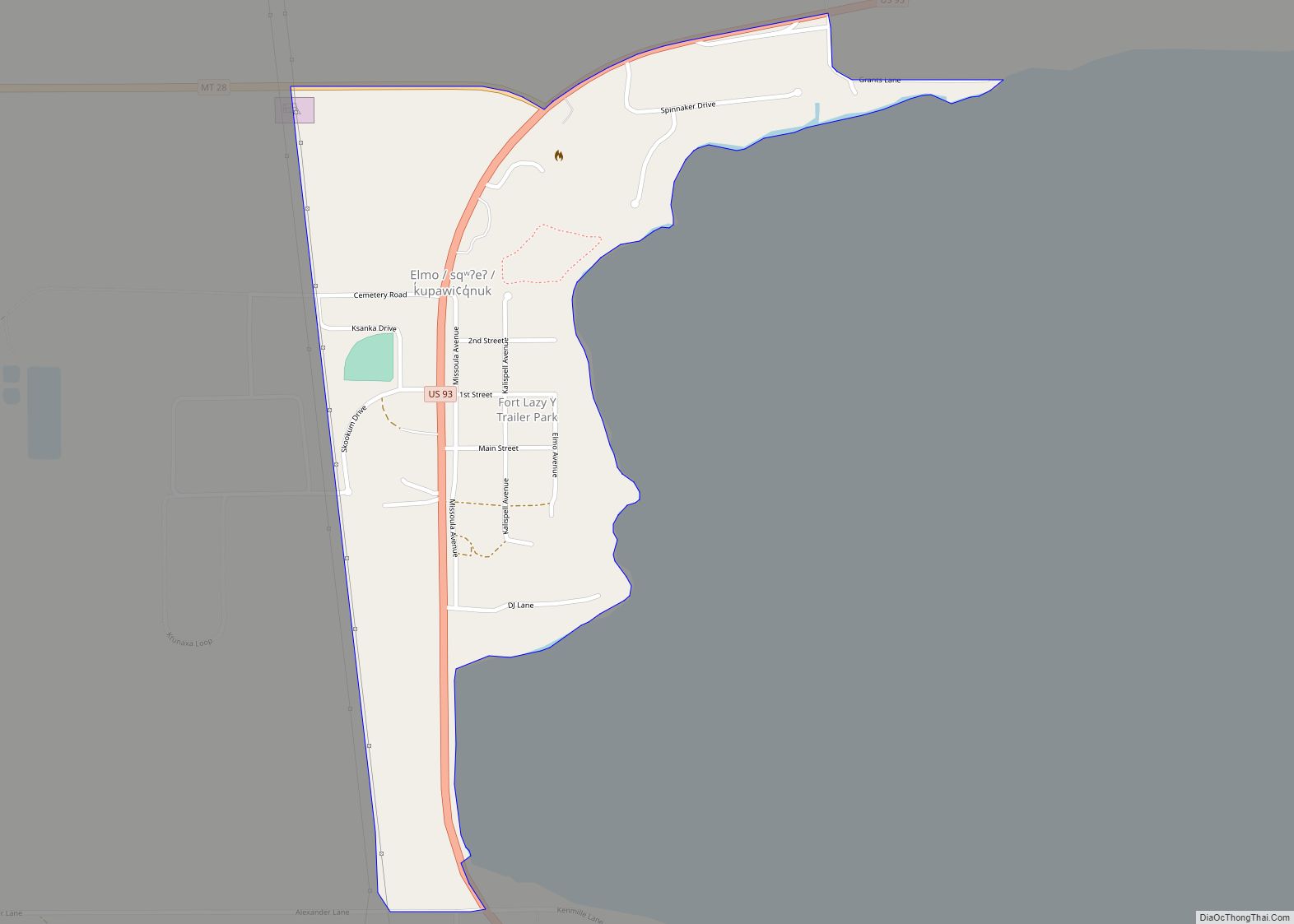
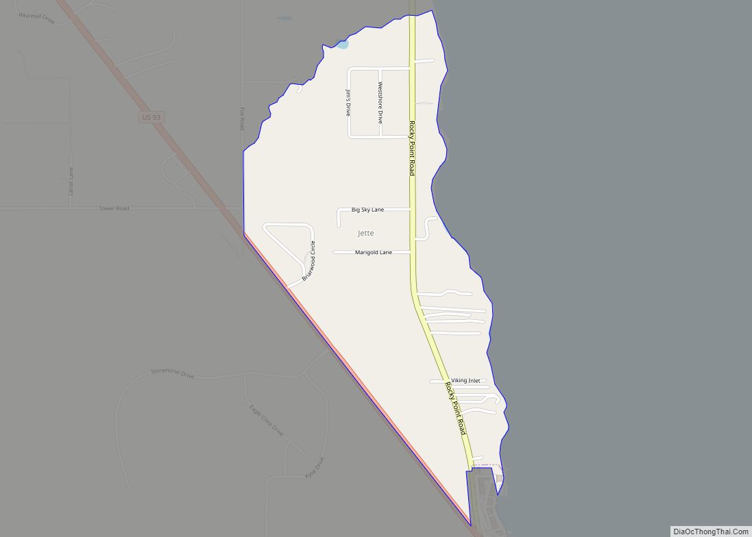
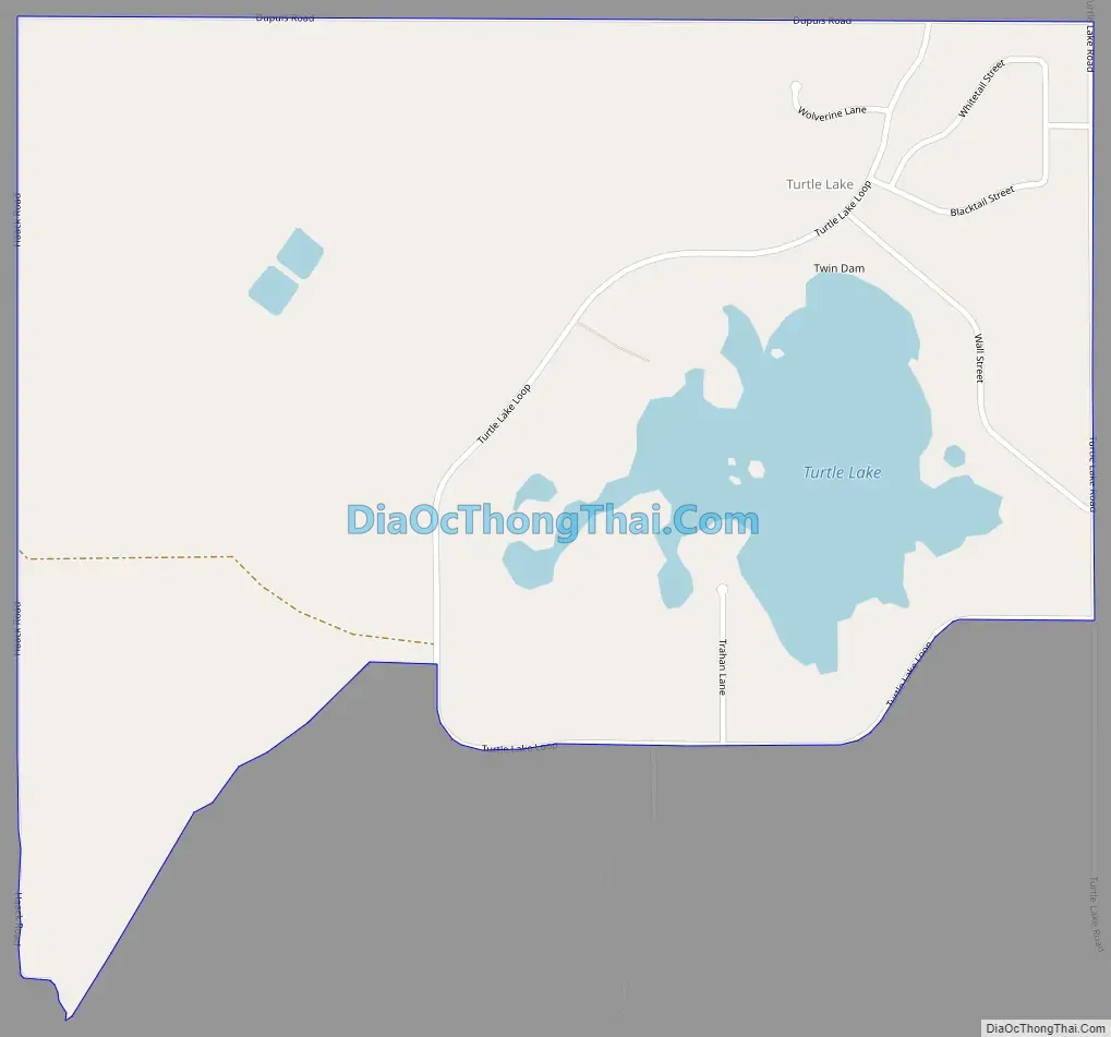
Turtle Lake Road Map
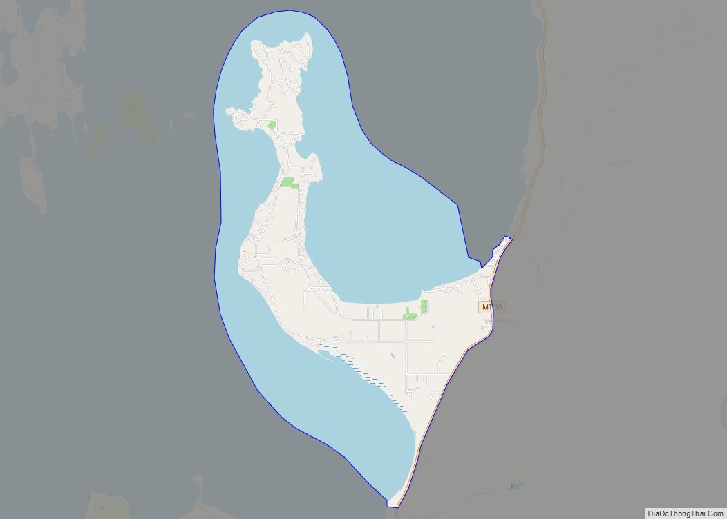
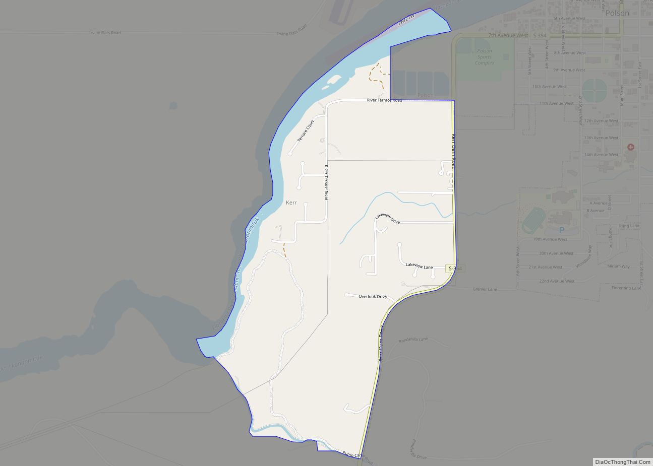
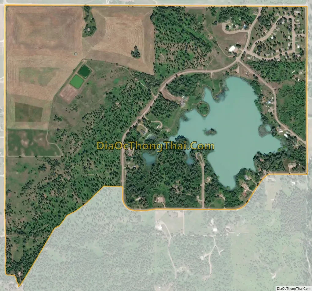
Turtle Lake city Satellite Map
Geography
Turtle Lake is located in central Lake County at 47°40′22″N 114°04′22″W / 47.672799°N 114.072758°W / 47.672799; -114.072758 (47.672799, -114.072758). It is a residential community sited around Turtle Lake, a small water body that seasonally drains north to Flathead Lake. It is 5 miles (8 km) southeast of Polson, the Lake county seat.
According to the United States Census Bureau, the Turtle Lake CDP has a total area of 0.66 square miles (1.7 km), of which 0.58 square miles (1.5 km) are land and 0.077 square miles (0.2 km), or 9.37%, are water.
See also
Map of Montana State and its subdivision:- Beaverhead
- Big Horn
- Blaine
- Broadwater
- Carbon
- Carter
- Cascade
- Chouteau
- Custer
- Daniels
- Dawson
- Deer Lodge
- Fallon
- Fergus
- Flathead
- Gallatin
- Garfield
- Glacier
- Golden Valley
- Granite
- Hill
- Jefferson
- Judith Basin
- Lake
- Lewis and Clark
- Liberty
- Lincoln
- Madison
- McCone
- Meagher
- Mineral
- Missoula
- Musselshell
- Park
- Petroleum
- Phillips
- Pondera
- Powder River
- Powell
- Prairie
- Ravalli
- Richland
- Roosevelt
- Rosebud
- Sanders
- Sheridan
- Silver Bow
- Stillwater
- Sweet Grass
- Teton
- Toole
- Treasure
- Valley
- Wheatland
- Wibaux
- Yellowstone
- Alabama
- Alaska
- Arizona
- Arkansas
- California
- Colorado
- Connecticut
- Delaware
- District of Columbia
- Florida
- Georgia
- Hawaii
- Idaho
- Illinois
- Indiana
- Iowa
- Kansas
- Kentucky
- Louisiana
- Maine
- Maryland
- Massachusetts
- Michigan
- Minnesota
- Mississippi
- Missouri
- Montana
- Nebraska
- Nevada
- New Hampshire
- New Jersey
- New Mexico
- New York
- North Carolina
- North Dakota
- Ohio
- Oklahoma
- Oregon
- Pennsylvania
- Rhode Island
- South Carolina
- South Dakota
- Tennessee
- Texas
- Utah
- Vermont
- Virginia
- Washington
- West Virginia
- Wisconsin
- Wyoming