Winifred is a small town in rural north-central Fergus County, Montana, United States, founded in 1913 and providing services for its region’s populace. The town population was 172 at the 2020 census.
| Name: | Winifred town |
|---|---|
| LSAD Code: | 43 |
| LSAD Description: | town (suffix) |
| State: | Montana |
| County: | Fergus County |
| Elevation: | 3,235 ft (986 m) |
| Total Area: | 0.52 sq mi (1.36 km²) |
| Land Area: | 0.52 sq mi (1.36 km²) |
| Water Area: | 0.00 sq mi (0.00 km²) |
| Total Population: | 172 |
| Population Density: | 328.24/sq mi (126.80/km²) |
| ZIP code: | 59489 |
| Area code: | 406 |
| FIPS code: | 3081025 |
| GNISfeature ID: | 0778598 |
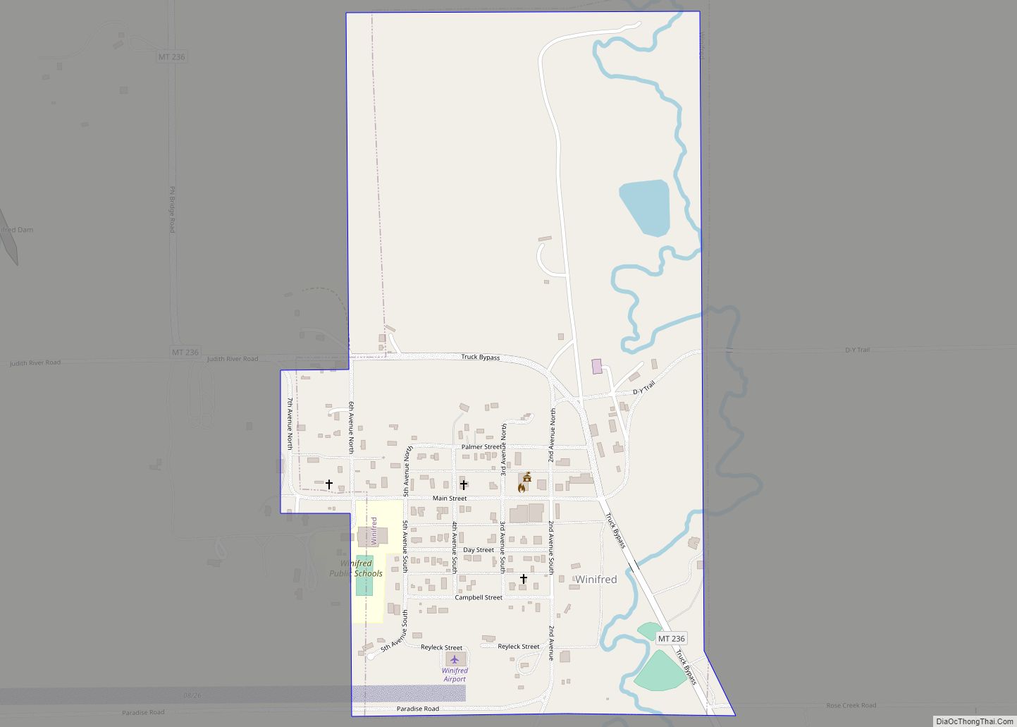
Online Interactive Map
Click on ![]() to view map in "full screen" mode.
to view map in "full screen" mode.
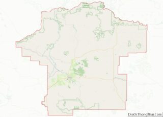
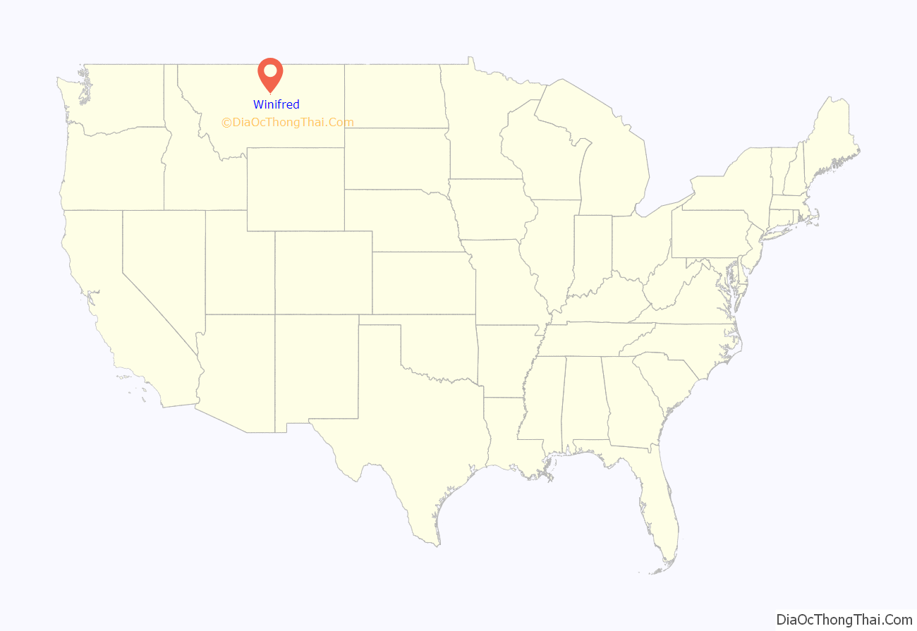
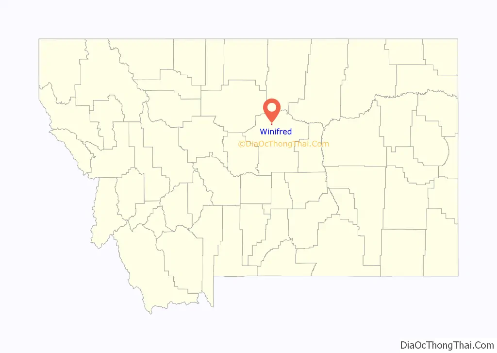
Winifred location map. Where is Winifred town?
History
Winifred was founded in 1913 as the terminus of a newly built branch line of the Chicago, Milwaukee, St. Paul and Pacific Railroad (“the Milwaukee Road”). It is popularly believed to have been named after one of the railroad owner’s two daughters (the other being Christina, another small town about 15 miles away).
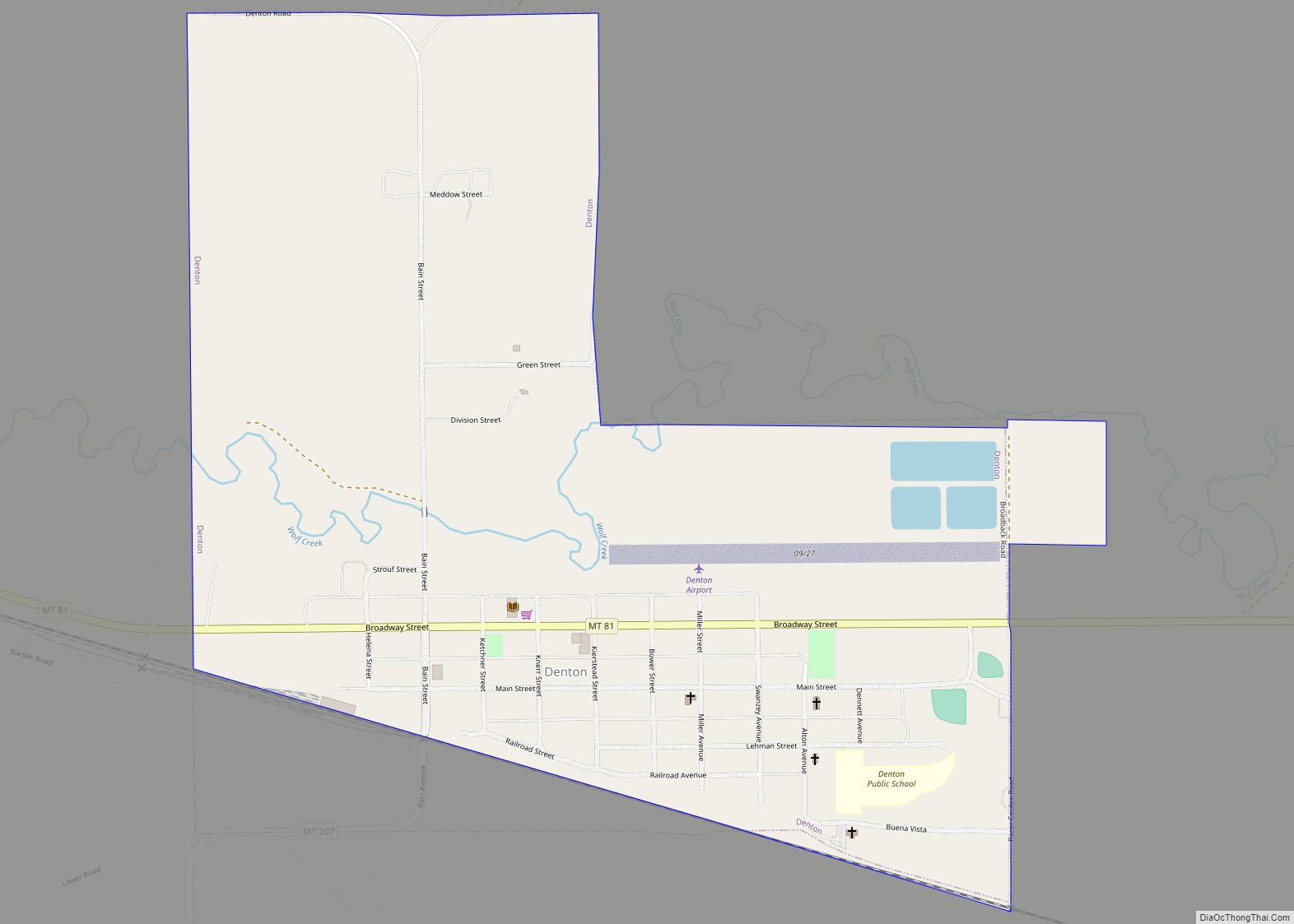
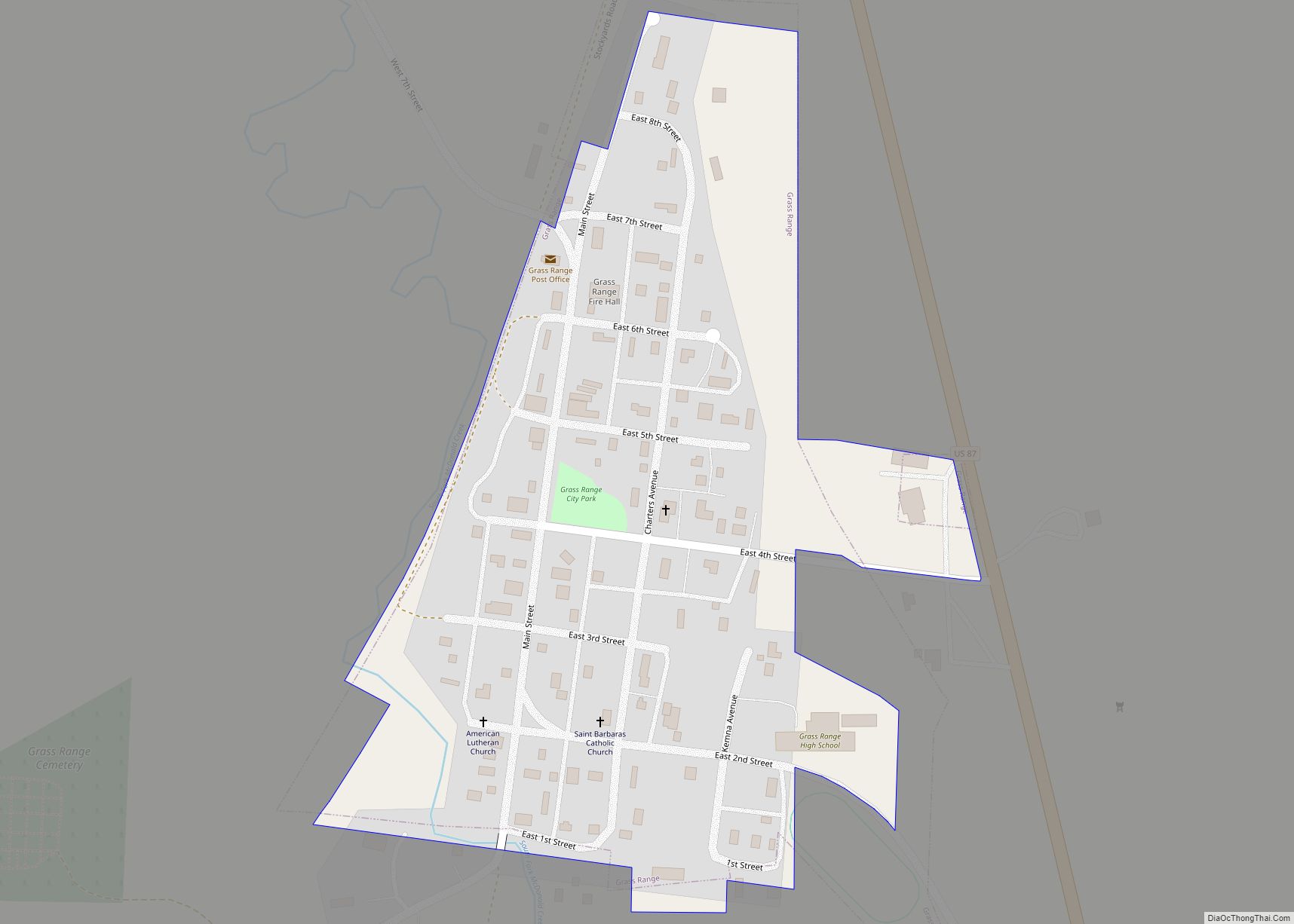
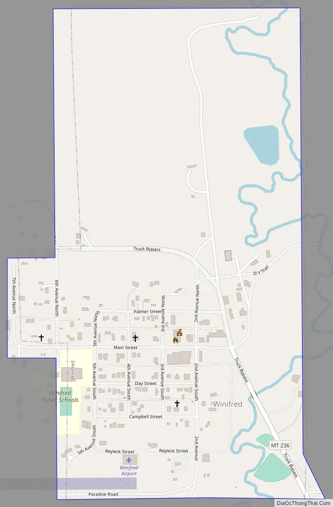
Winifred Road Map
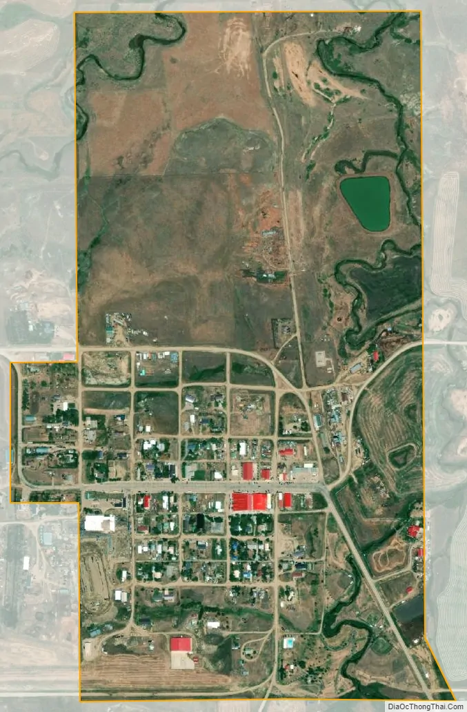
Winifred city Satellite Map
Geography
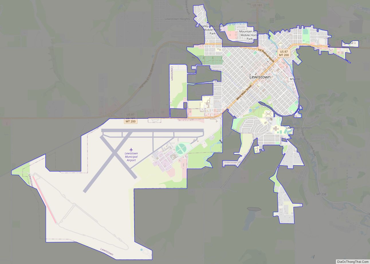
Winifred is located at 47°33′35″N 109°22′38″W / 47.55972°N 109.37722°W / 47.55972; -109.37722 (47.559818, -109.377108). It is 39 miles from Lewistown. Stafford Reservoir is nearby.
According to the United States Census Bureau, the town has a total area of 0.50 square miles (1.29 km), all land.
Climate
According to the Köppen Climate Classification system, Winifred has a semi-arid climate, abbreviated “BSk” on climate maps.
See also
Map of Montana State and its subdivision:- Beaverhead
- Big Horn
- Blaine
- Broadwater
- Carbon
- Carter
- Cascade
- Chouteau
- Custer
- Daniels
- Dawson
- Deer Lodge
- Fallon
- Fergus
- Flathead
- Gallatin
- Garfield
- Glacier
- Golden Valley
- Granite
- Hill
- Jefferson
- Judith Basin
- Lake
- Lewis and Clark
- Liberty
- Lincoln
- Madison
- McCone
- Meagher
- Mineral
- Missoula
- Musselshell
- Park
- Petroleum
- Phillips
- Pondera
- Powder River
- Powell
- Prairie
- Ravalli
- Richland
- Roosevelt
- Rosebud
- Sanders
- Sheridan
- Silver Bow
- Stillwater
- Sweet Grass
- Teton
- Toole
- Treasure
- Valley
- Wheatland
- Wibaux
- Yellowstone
- Alabama
- Alaska
- Arizona
- Arkansas
- California
- Colorado
- Connecticut
- Delaware
- District of Columbia
- Florida
- Georgia
- Hawaii
- Idaho
- Illinois
- Indiana
- Iowa
- Kansas
- Kentucky
- Louisiana
- Maine
- Maryland
- Massachusetts
- Michigan
- Minnesota
- Mississippi
- Missouri
- Montana
- Nebraska
- Nevada
- New Hampshire
- New Jersey
- New Mexico
- New York
- North Carolina
- North Dakota
- Ohio
- Oklahoma
- Oregon
- Pennsylvania
- Rhode Island
- South Carolina
- South Dakota
- Tennessee
- Texas
- Utah
- Vermont
- Virginia
- Washington
- West Virginia
- Wisconsin
- Wyoming