Wisdom is a small town in Beaverhead County, Montana, United States. The population was 98 at the 2010 census. The ZIP Code of the area is 59761. The town includes three tourist lodgings, service station, grocery, school (K-8), post office and a Forest Service office.
| Name: | Wisdom CDP |
|---|---|
| LSAD Code: | 57 |
| LSAD Description: | CDP (suffix) |
| State: | Montana |
| County: | Beaverhead County |
| Elevation: | 6,050 ft (1,840 m) |
| Total Area: | 1.02 sq mi (2.63 km²) |
| Land Area: | 1.01 sq mi (2.61 km²) |
| Water Area: | 0.01 sq mi (0.02 km²) |
| Total Population: | 104 |
| Population Density: | 103.17/sq mi (39.84/km²) |
| ZIP code: | 59761 |
| Area code: | 406 |
| FIPS code: | 3081250 |
| GNISfeature ID: | 0793432 |
Online Interactive Map
Click on ![]() to view map in "full screen" mode.
to view map in "full screen" mode.
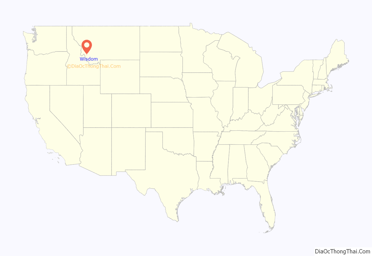
Wisdom location map. Where is Wisdom CDP?
History
Wisdom was named for the Wisdom River, which is now named the Big Hole River, that passes through the town. The post office opened in 1884.
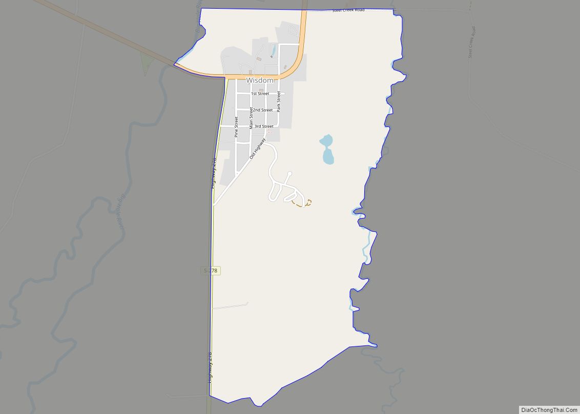
Wisdom Road Map
Wisdom city Satellite Map
Geography
Wisdom is located at 45°36′58″N 113°26′59″W / 45.61611°N 113.44972°W / 45.61611; -113.44972 (45.616120, -113.449742). According to the United States Census Bureau, the CDP has a total area of 0.99 square miles (2.56 km), of which 0.98 square miles (2.54 km) is land and 0.0077 square miles (0.02 km), or 0.82%, is water. Wisdom’s average elevation is 6,245 feet (1,903 m), about 1.2 miles above sea level.
Wisdom is located along Montana Highway 43. Tweedy Mountain is nearby as is West Goat Peak.
Climate
Wisdom, owing to its high altitude and northerly location, has a subalpine climate (Köppen Dfc) with long, cold, dry winters and short summers with very warm afternoons and cold, clear mornings. With over 277 mornings each year below freezing and only July ever completely frost-free, Wisdom is in terms of frequency of frost one of the coldest places in the United States. During major cold waves, Wisdom’s location in an enclosed valley can make for exceptionally cold temperatures: −55 °F (−48.3 °C) was reached during a great cold wave on December 23, 1983, and −50 °F or −45.6 °C has been reached during seven years, though not since February 4, 1989. Typically there are 47 mornings falling to or below 0 °F or −17.8 °C, and as many as seven fall as low as −25 °F or −31.7 °C, whilst 69.8 afternoons do not top freezing, a tally twice as large as central Montana areas affected by warm chinook winds.
Minimum temperatures during spring do not typically stay above freezing until well into June, although the average last spring ice day date is April 1 and the first fall ice day November 1. Low winter precipitation limits both snowfall and snow depth: the annual mean fall is 42.3 inches or 1.07 metres, and the mean peak snow cover 11 inches or 0.28 metres, with the most snow on the ground being 32 inches (0.81 m) on January 2, 1943. Snow cover is usually gone by the end of March, and despite occasional light snowfalls in May, snow on the ground in that month has not been recorded since 1953. Precipitation is heaviest during the spring, but the enclosed valley location means most moisture is always captured before reaching Wisdom: the wettest month since records began in 1923 has been May 1981 with 4.32 inches (109.7 mm), whilst the wettest calendar year has been 1967 with 15.74 inches (399.8 mm) and the driest 1974 when only 5.60 inches (142.2 mm) fell.
Although summer nights are chilly and even frosty, days can be very warm or even hot, although only 1.3 afternoons typically rise above 90 °F or 32.2 °C and 100 °F or 37.8 °C has never been recorded: Wisdom’s hottest temperature is 98 °F or 36.7 °C on July 13, 2002, and the hottest minimum 62 °F or 16.7 °C on July 23, 1936. On average only two mornings remain above 50 °F or 10 °C each summer, and Wisdom has never recorded so high a minimum between October 20 and May 4 inclusive. By the end of August mornings fall to freezing in five-eighths of all years, and in seven-eighths by the end of September, with the weather continuing to cool into winter with the first minimum under zero expected on November 10.
See also
Map of Montana State and its subdivision:- Beaverhead
- Big Horn
- Blaine
- Broadwater
- Carbon
- Carter
- Cascade
- Chouteau
- Custer
- Daniels
- Dawson
- Deer Lodge
- Fallon
- Fergus
- Flathead
- Gallatin
- Garfield
- Glacier
- Golden Valley
- Granite
- Hill
- Jefferson
- Judith Basin
- Lake
- Lewis and Clark
- Liberty
- Lincoln
- Madison
- McCone
- Meagher
- Mineral
- Missoula
- Musselshell
- Park
- Petroleum
- Phillips
- Pondera
- Powder River
- Powell
- Prairie
- Ravalli
- Richland
- Roosevelt
- Rosebud
- Sanders
- Sheridan
- Silver Bow
- Stillwater
- Sweet Grass
- Teton
- Toole
- Treasure
- Valley
- Wheatland
- Wibaux
- Yellowstone
- Alabama
- Alaska
- Arizona
- Arkansas
- California
- Colorado
- Connecticut
- Delaware
- District of Columbia
- Florida
- Georgia
- Hawaii
- Idaho
- Illinois
- Indiana
- Iowa
- Kansas
- Kentucky
- Louisiana
- Maine
- Maryland
- Massachusetts
- Michigan
- Minnesota
- Mississippi
- Missouri
- Montana
- Nebraska
- Nevada
- New Hampshire
- New Jersey
- New Mexico
- New York
- North Carolina
- North Dakota
- Ohio
- Oklahoma
- Oregon
- Pennsylvania
- Rhode Island
- South Carolina
- South Dakota
- Tennessee
- Texas
- Utah
- Vermont
- Virginia
- Washington
- West Virginia
- Wisconsin
- Wyoming
