Wyola (Crow: Alachúa Uhpáko) is a census-designated place (CDP) in Big Horn County, Montana, United States. The population was 215 at the 2010 census. 79% of the residents are Native American, and the majority are members of the Crow Nation.
The town began as a Chicago, Burlington & Quincy Railroad station stop. The Crows called this spot Ammoole, “Where they wait,” because of the train station. The post office opened in 1911.
| Name: | Wyola CDP |
|---|---|
| LSAD Code: | 57 |
| LSAD Description: | CDP (suffix) |
| State: | Montana |
| County: | Big Horn County |
| Elevation: | 3,721 ft (1,134 m) |
| Total Area: | 6.73 sq mi (17.42 km²) |
| Land Area: | 6.73 sq mi (17.42 km²) |
| Water Area: | 0.00 sq mi (0.00 km²) |
| Total Population: | 190 |
| Population Density: | 28.25/sq mi (10.91/km²) |
| ZIP code: | 59089 |
| Area code: | 406 |
| FIPS code: | 3082075 |
| GNISfeature ID: | 0778710 |
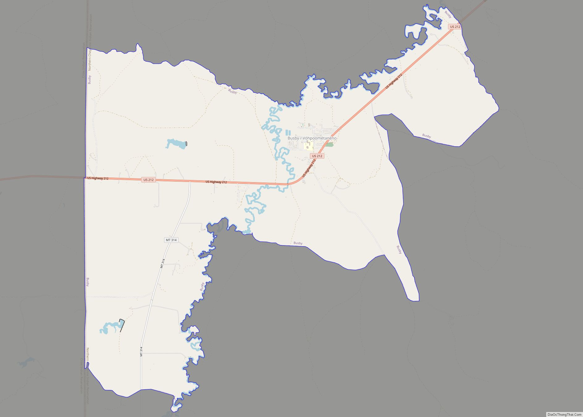
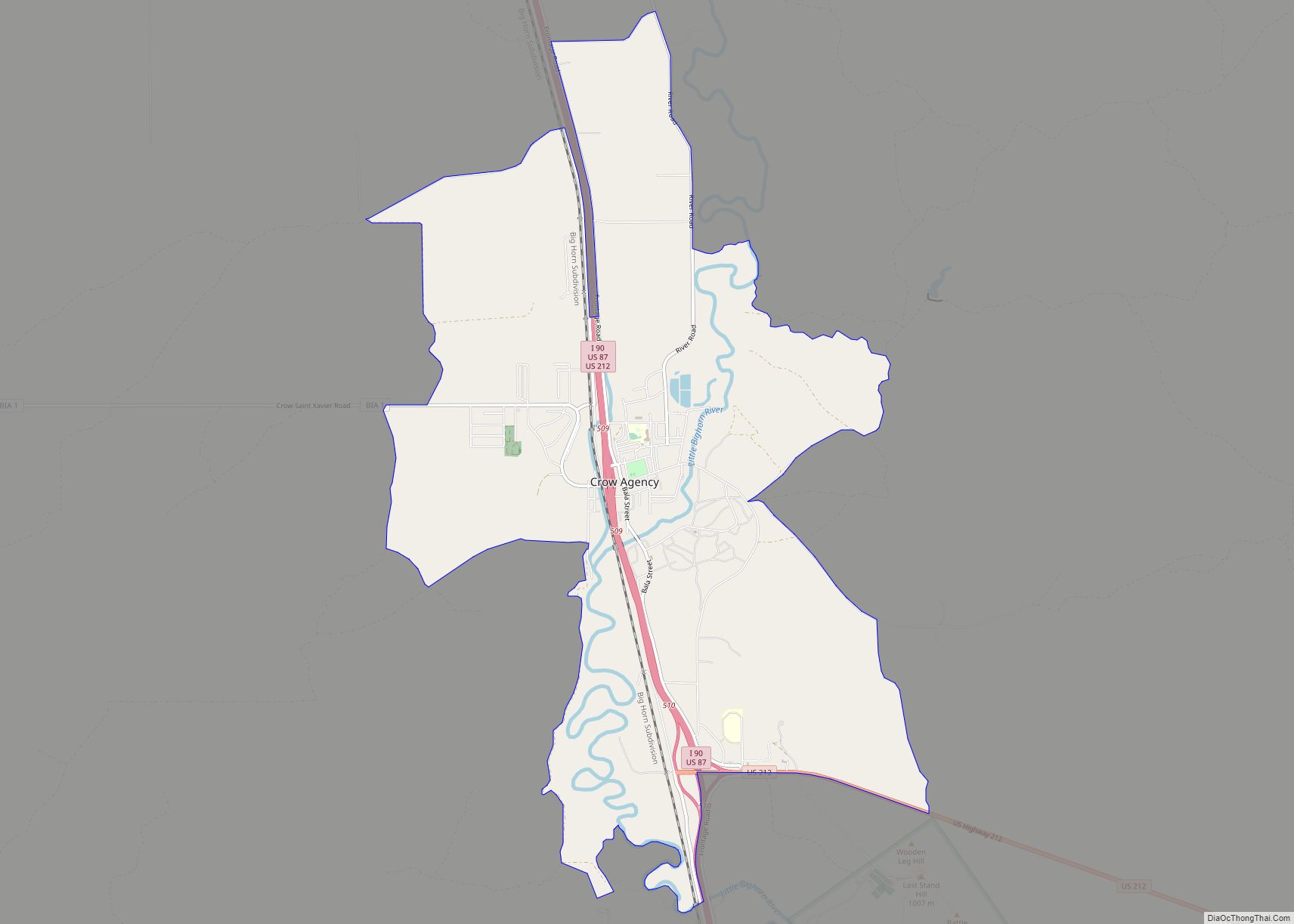
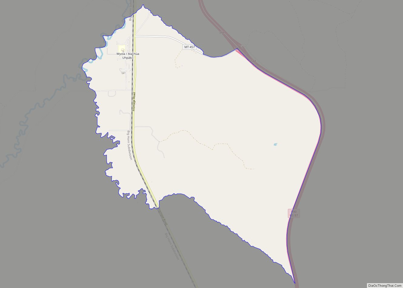
Online Interactive Map
Click on ![]() to view map in "full screen" mode.
to view map in "full screen" mode.
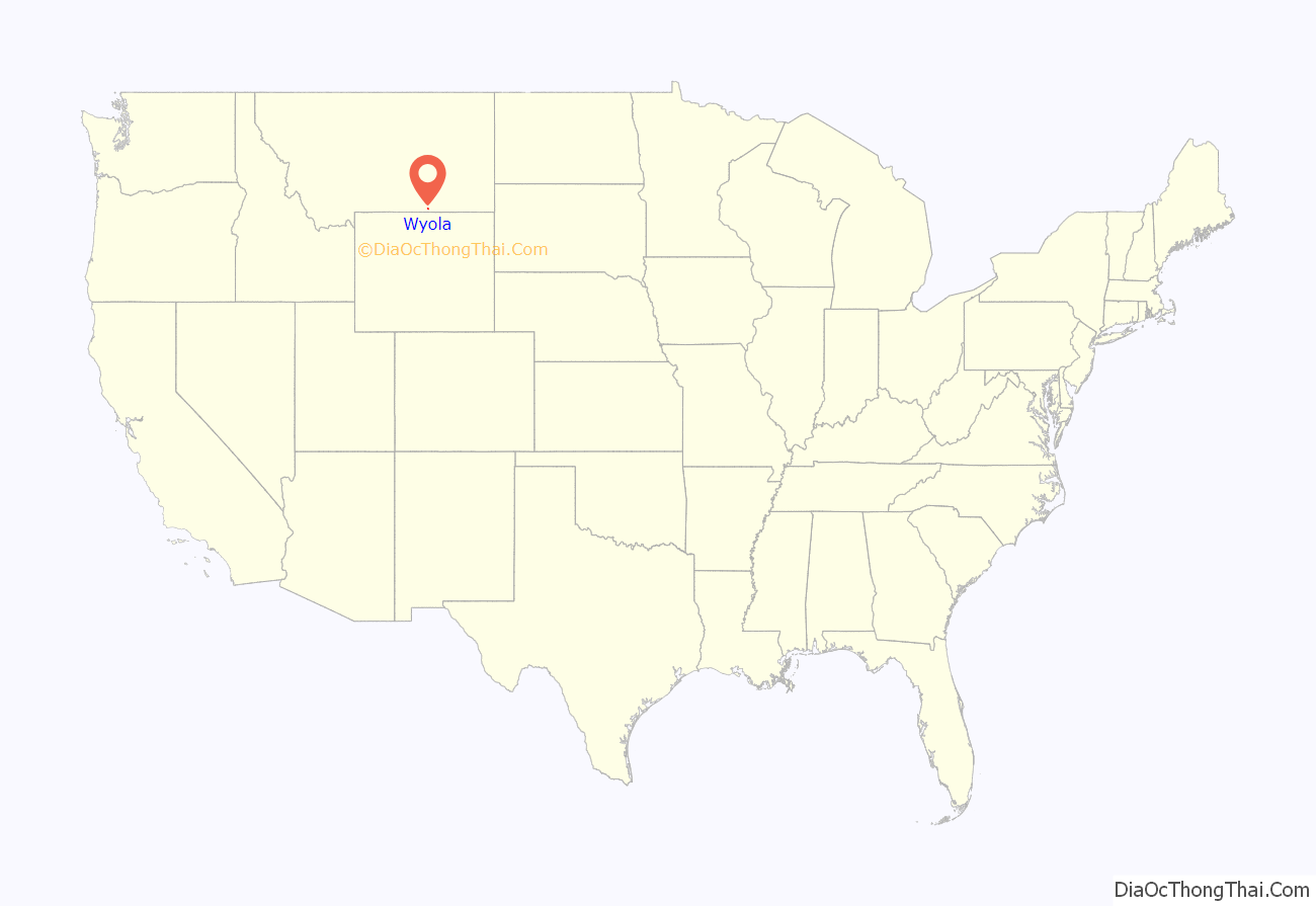
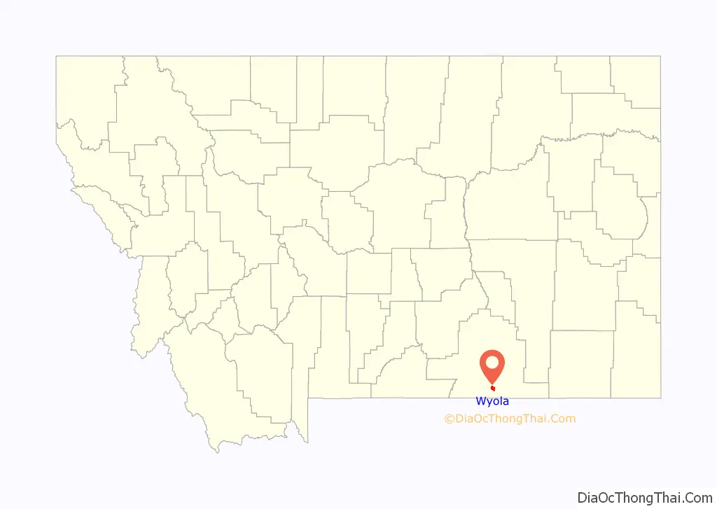
Wyola location map. Where is Wyola CDP?
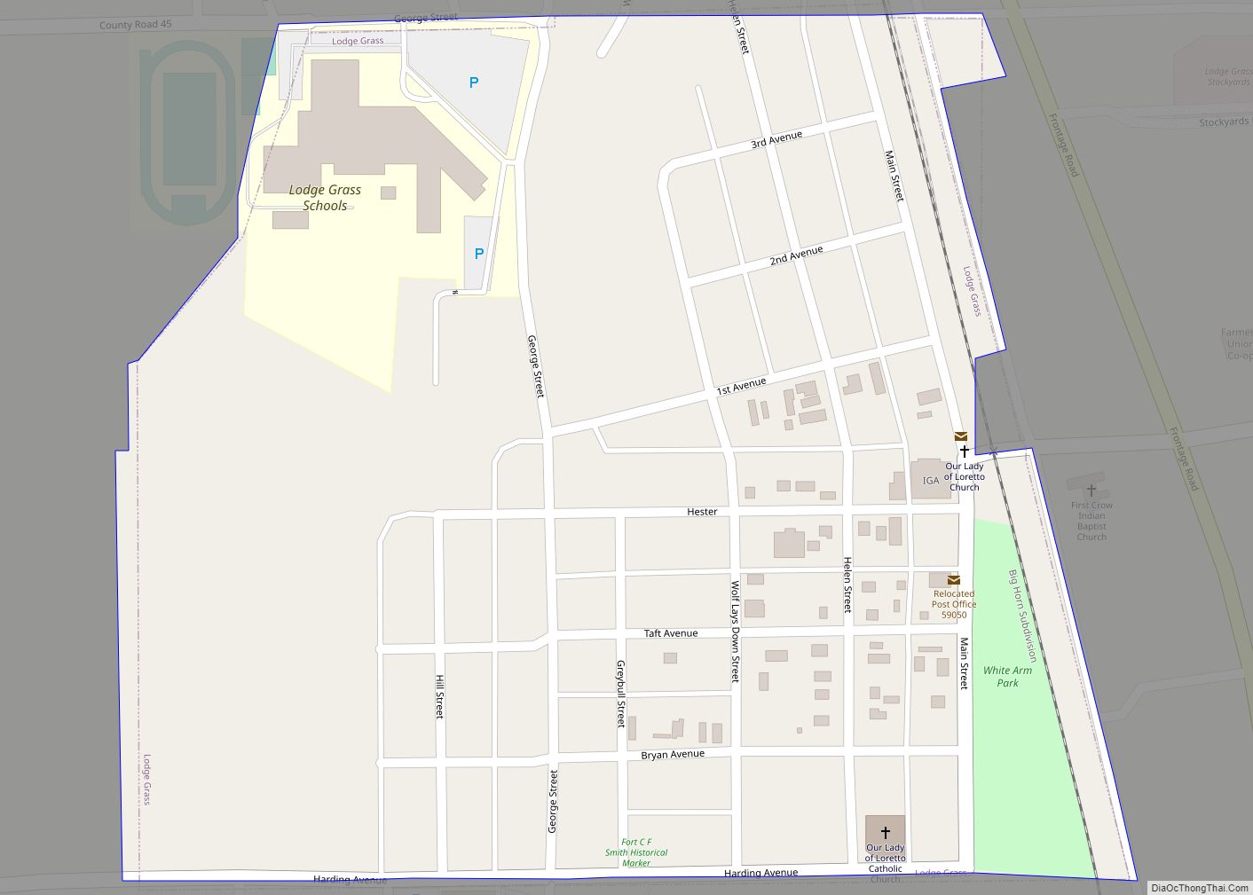
Wyola Road Map
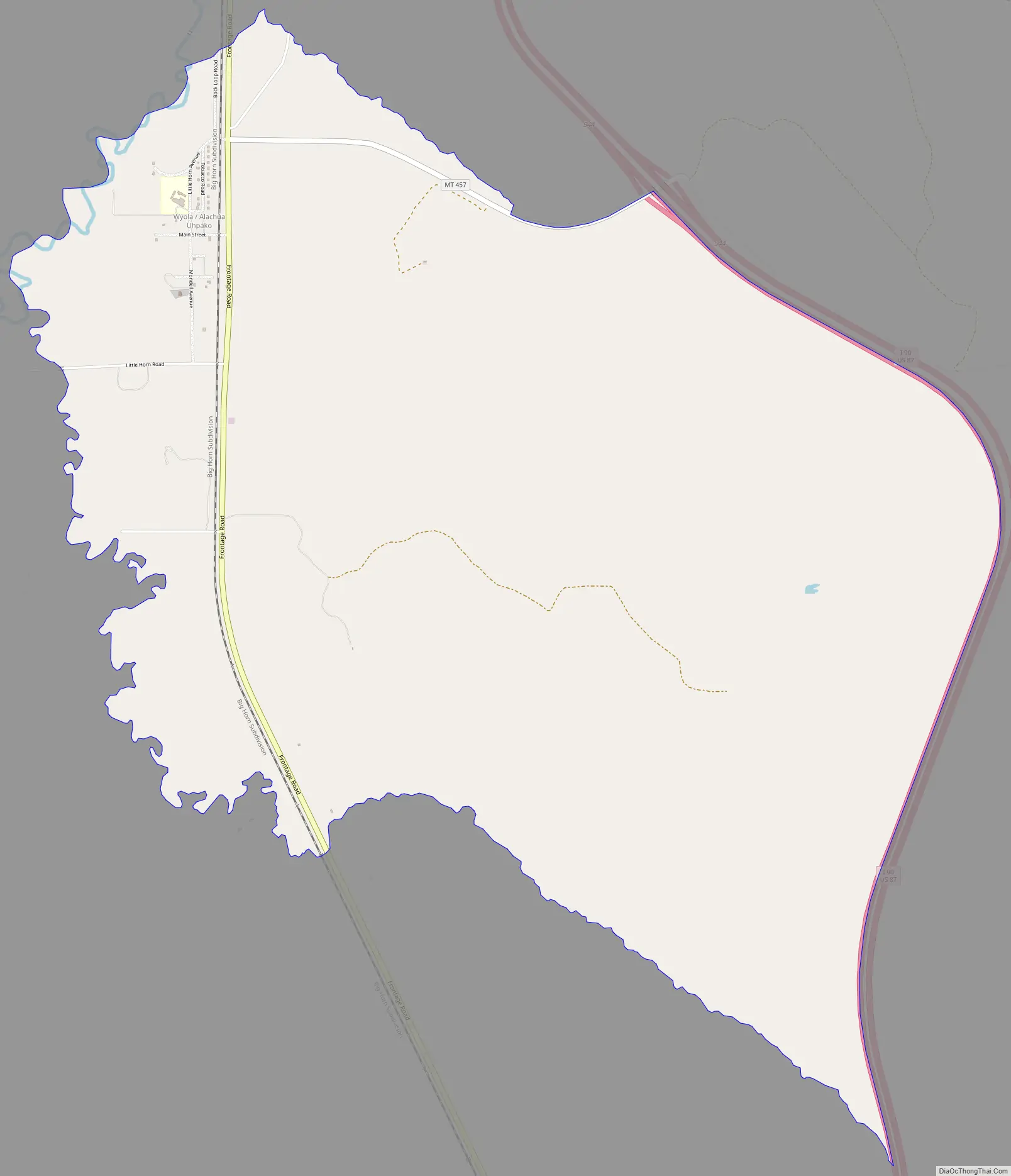
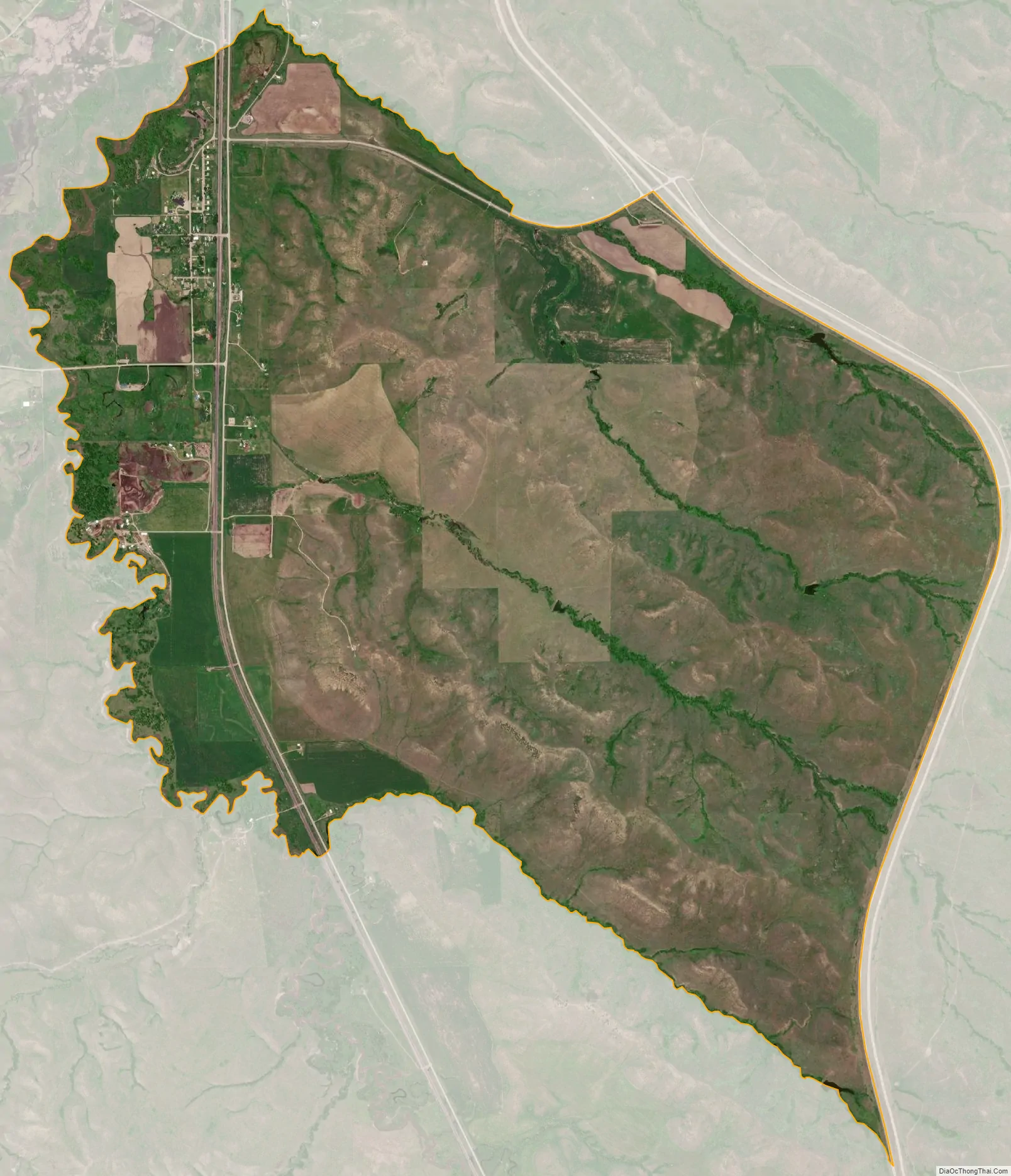
Wyola city Satellite Map
Geography
Wyola is located at 45°7′35″N 107°23′36″W / 45.12639°N 107.39333°W / 45.12639; -107.39333 (45.126409, -107.393430). Interstate 90 passes near the community, with access from Exit 544. The Little Bighorn River runs nearby. It is part of the Crow Indian Reservation.
According to the United States Census Bureau, the CDP has a total area of 6.7 square miles (17.4 km), all land.
See also
Map of Montana State and its subdivision:- Beaverhead
- Big Horn
- Blaine
- Broadwater
- Carbon
- Carter
- Cascade
- Chouteau
- Custer
- Daniels
- Dawson
- Deer Lodge
- Fallon
- Fergus
- Flathead
- Gallatin
- Garfield
- Glacier
- Golden Valley
- Granite
- Hill
- Jefferson
- Judith Basin
- Lake
- Lewis and Clark
- Liberty
- Lincoln
- Madison
- McCone
- Meagher
- Mineral
- Missoula
- Musselshell
- Park
- Petroleum
- Phillips
- Pondera
- Powder River
- Powell
- Prairie
- Ravalli
- Richland
- Roosevelt
- Rosebud
- Sanders
- Sheridan
- Silver Bow
- Stillwater
- Sweet Grass
- Teton
- Toole
- Treasure
- Valley
- Wheatland
- Wibaux
- Yellowstone
- Alabama
- Alaska
- Arizona
- Arkansas
- California
- Colorado
- Connecticut
- Delaware
- District of Columbia
- Florida
- Georgia
- Hawaii
- Idaho
- Illinois
- Indiana
- Iowa
- Kansas
- Kentucky
- Louisiana
- Maine
- Maryland
- Massachusetts
- Michigan
- Minnesota
- Mississippi
- Missouri
- Montana
- Nebraska
- Nevada
- New Hampshire
- New Jersey
- New Mexico
- New York
- North Carolina
- North Dakota
- Ohio
- Oklahoma
- Oregon
- Pennsylvania
- Rhode Island
- South Carolina
- South Dakota
- Tennessee
- Texas
- Utah
- Vermont
- Virginia
- Washington
- West Virginia
- Wisconsin
- Wyoming