Fairview is a city in Multnomah County, Oregon, United States. As of the 2010 census, the city population was 8,920.
| Name: | Fairview city |
|---|---|
| LSAD Code: | 25 |
| LSAD Description: | city (suffix) |
| State: | Oregon |
| County: | Multnomah County |
| Incorporated: | 1908 (1908) |
| Elevation: | 114 ft (35 m) |
| Land Area: | 3.09 sq mi (8.00 km²) |
| Water Area: | 0.45 sq mi (1.17 km²) |
| Population Density: | 3,374.55/sq mi (1,302.73/km²) |
| ZIP code: | 97024 |
| Area code: | 503 |
| FIPS code: | 4124250 |
| GNISfeature ID: | 1136277 |
Online Interactive Map
Click on ![]() to view map in "full screen" mode.
to view map in "full screen" mode.
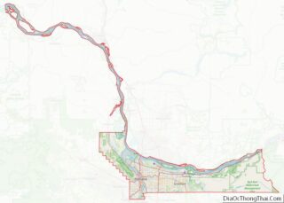
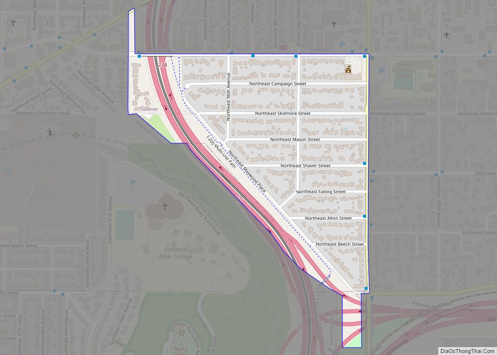
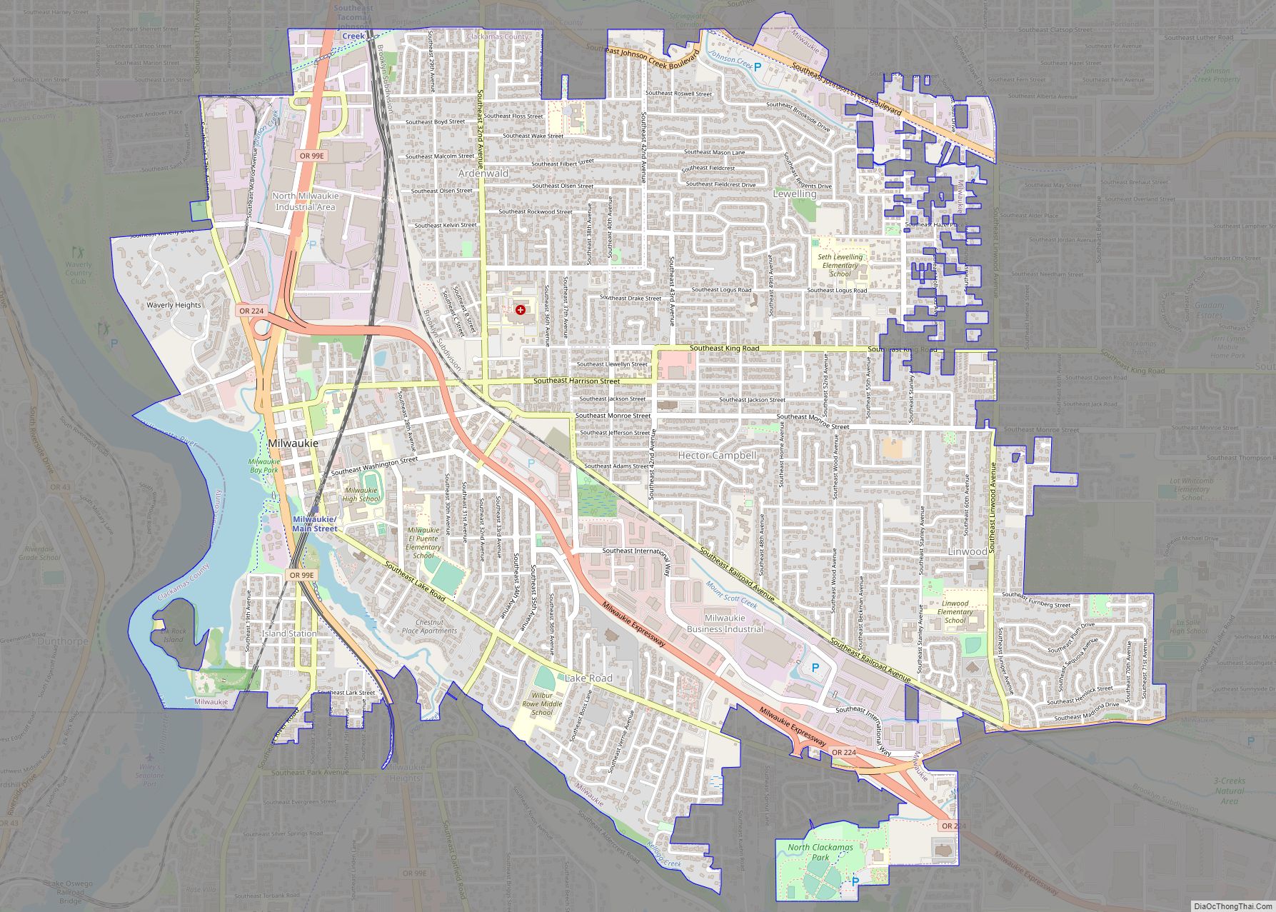
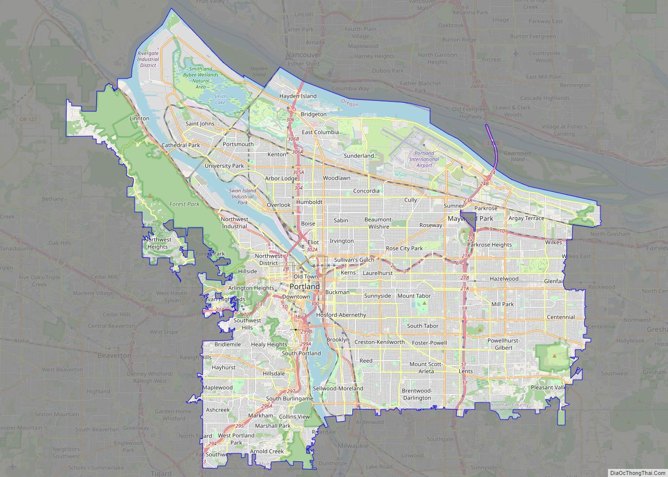
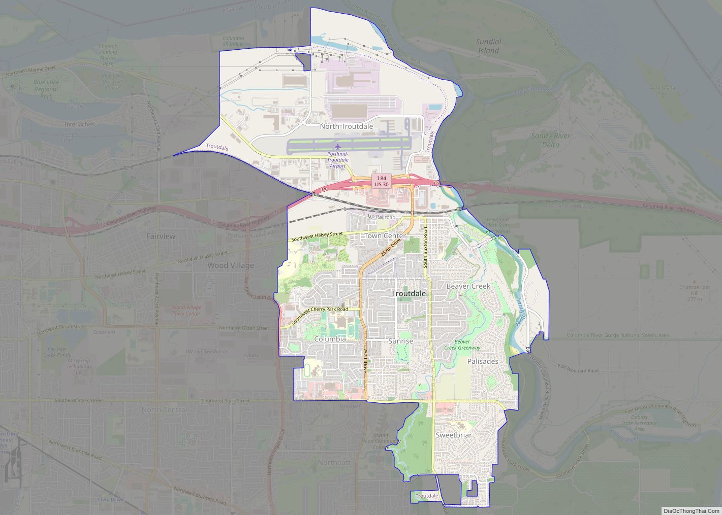
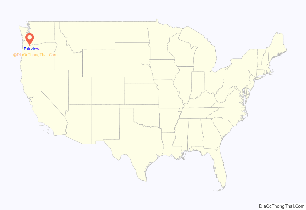
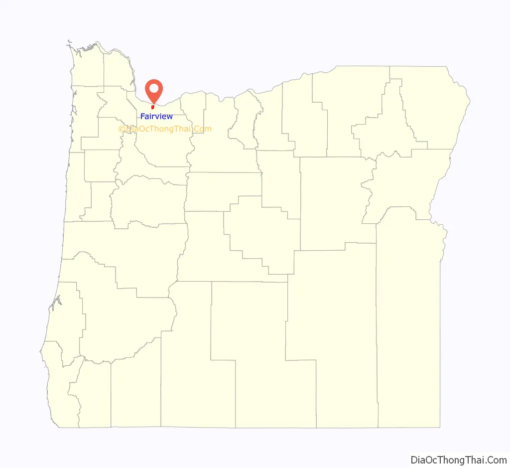
Fairview location map. Where is Fairview city?
History
Members of the Multnomah tribe of Chinookan Indians lived in a village near the Columbia River (the future site of Fairview) when the Lewis and Clark Expedition visited the area in 1806. By the 1840s and 1850s, white settlers began hay, grain, and livestock operations in what would become eastern Multnomah County. Railroad tracks extended to the area by the 1890s, and, as the population grew, residents began referring to the locale as Fairview because of the pleasing views of the nearby river, the Columbia River Gorge, and Mount Hood. Since another community named Fairview already existed on the Oregon Coast, the community’s first post office was named Cleone until the coastal post office closed and the name was transferred to Fairview.
In the mid-1980s, the city attempted to annex a large section of unincorporated territory in eastern Multnomah County. The plan would have created a city of about 120,000 residents, which at the time would have ranked as the second most populous city in Oregon, behind only Portland. In September 1985, the Oregon Supreme Court ruled that the attempt was invalid as state law required two cities to start any attempt at consolidation, and only Fairview had initiated this attempt.
A large Fairview employer is Townsend Farms, which operates a berry freezing cannery. In 2020 the company had approximately 350 employees in the region, with 450 seasonal workers; it was the source of a Hepatitis A outbreak in pomegranate seeds in 2013 that infected 127 people in 8 states. The product was recalled under its Townsend Farms brand at Costco and private labeled at Harris Teeter, and later linked to Goknur Foodstuffs Import Export Trading in Turkey by the FDA. The cannery itself had a COVID-19 outbreak in 2020, which may have caused two waves of infections affecting at least 48 people. The cannery did not shut down, and the outbreak spread for weeks before the state was notified. The company has blueberry orchards in Applegate Valley near Grants Pass and Cornelius, as well as others in Oregon and Washington.
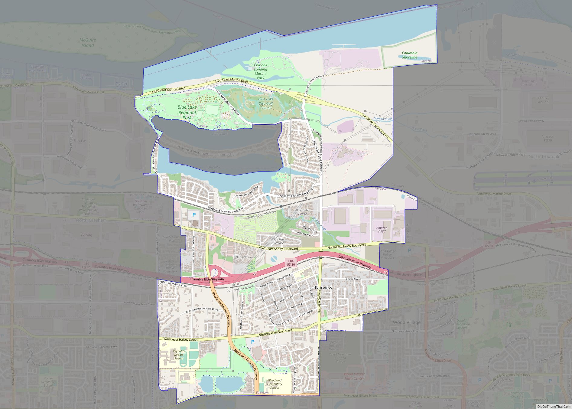
Fairview Road Map
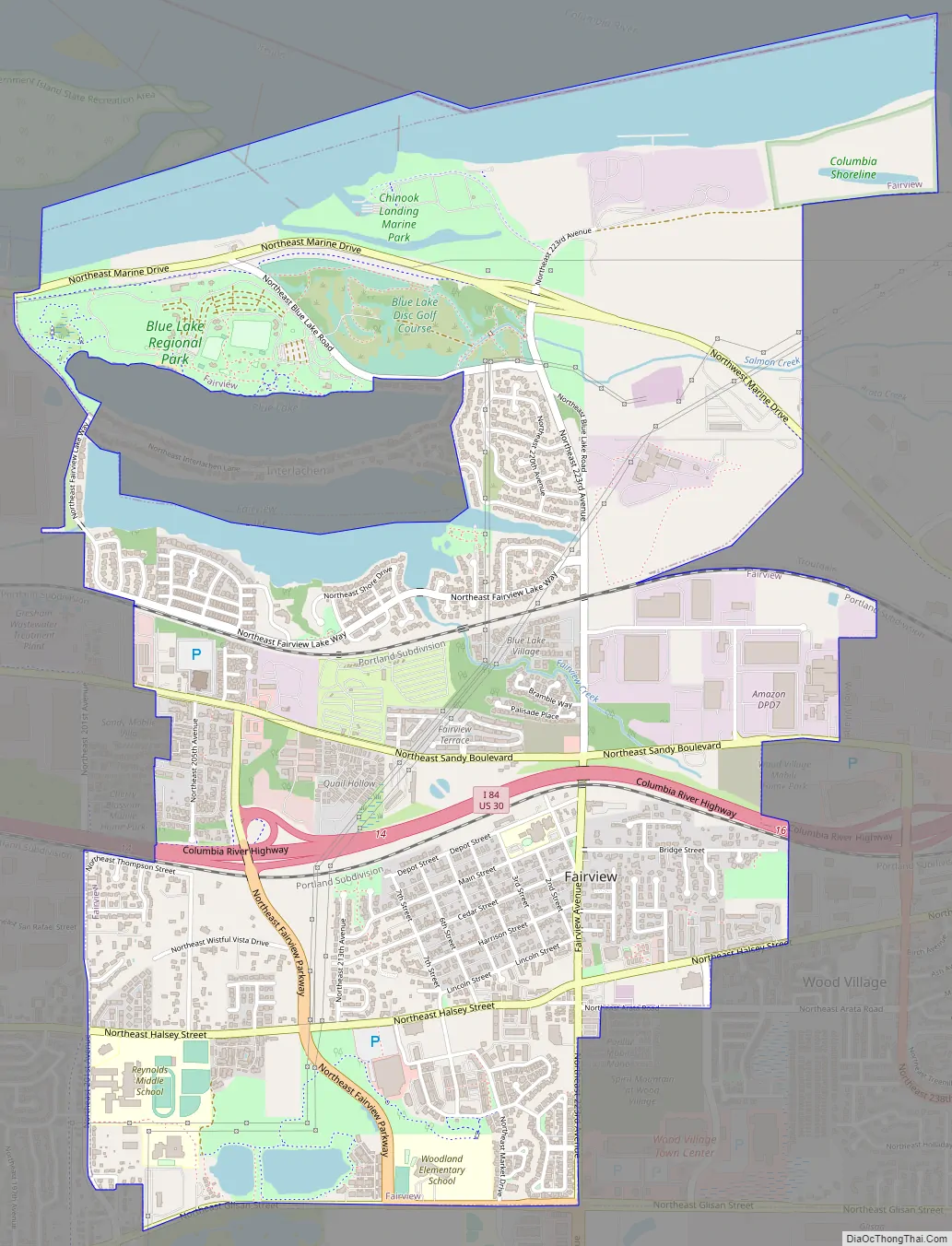
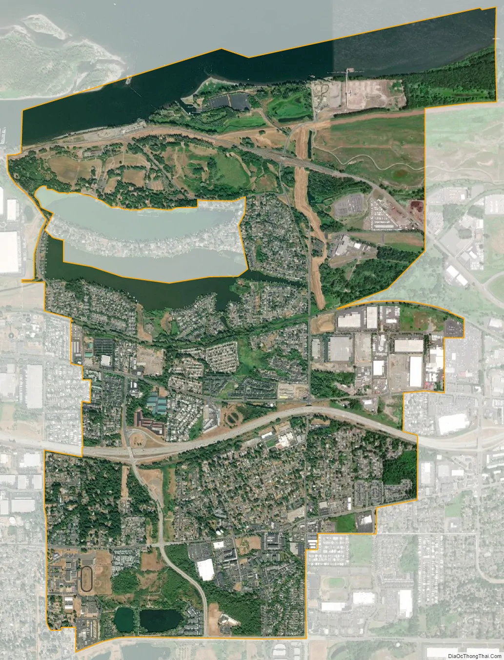
Fairview city Satellite Map
Geography
According to the United States Census Bureau, the city has a total area of 3.58 square miles (9.27 km), of which, 3.09 square miles (8.00 km) is land and 0.49 square miles (1.27 km) is water.
See also
Map of Oregon State and its subdivision: Map of other states:- Alabama
- Alaska
- Arizona
- Arkansas
- California
- Colorado
- Connecticut
- Delaware
- District of Columbia
- Florida
- Georgia
- Hawaii
- Idaho
- Illinois
- Indiana
- Iowa
- Kansas
- Kentucky
- Louisiana
- Maine
- Maryland
- Massachusetts
- Michigan
- Minnesota
- Mississippi
- Missouri
- Montana
- Nebraska
- Nevada
- New Hampshire
- New Jersey
- New Mexico
- New York
- North Carolina
- North Dakota
- Ohio
- Oklahoma
- Oregon
- Pennsylvania
- Rhode Island
- South Carolina
- South Dakota
- Tennessee
- Texas
- Utah
- Vermont
- Virginia
- Washington
- West Virginia
- Wisconsin
- Wyoming