Arcadia is a Census-designated place located in Spartanburg County in the U.S. State of South Carolina. According to the 2010 United States Census, the population was 2,634.
| Name: | Arcadia CDP |
|---|---|
| LSAD Code: | 57 |
| LSAD Description: | CDP (suffix) |
| State: | South Carolina |
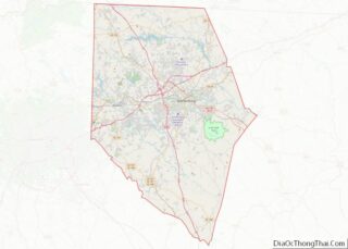
| County: | Spartanburg County |
| Elevation: | 807 ft (246 m) |
| Total Area: | 1.96 sq mi (5.09 km²) |
| Land Area: | 1.96 sq mi (5.08 km²) |
| Water Area: | 0.01 sq mi (0.01 km²) |
| Total Population: | 3,246 |
| Population Density: | 1,656.12/sq mi (639.33/km²) |
| ZIP code: | 29320 |
| FIPS code: | 4502080 |
| GNISfeature ID: | 1220229 |
Online Interactive Map
Click on ![]() to view map in "full screen" mode.
to view map in "full screen" mode.
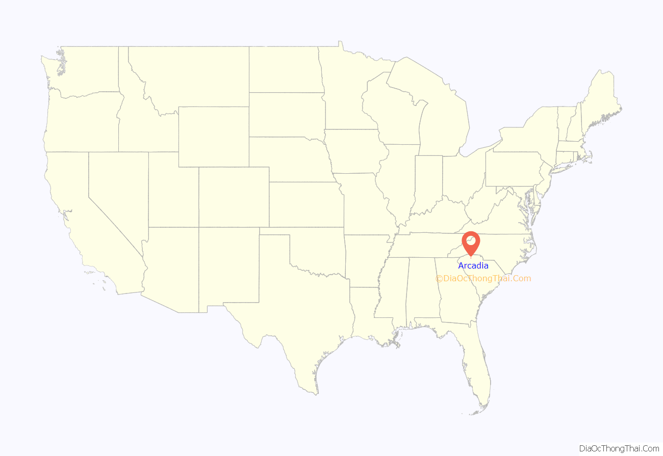
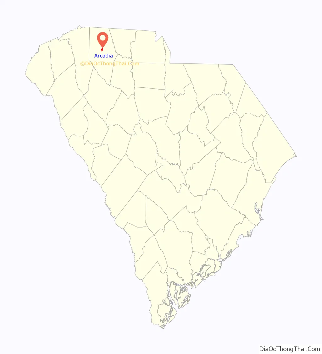
Arcadia location map. Where is Arcadia CDP?
History
Arcadia was founded in 1902, and was so named for a fancied resemblance of its landscapes to the ancient region of Arcadia.
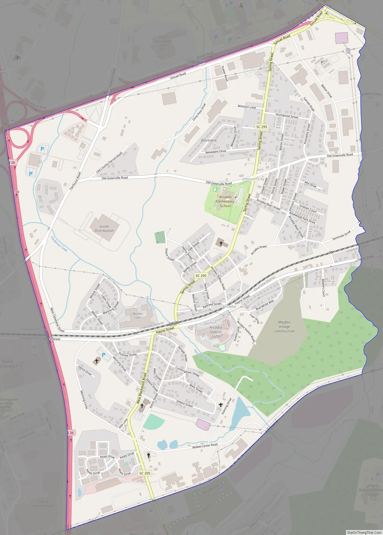
Arcadia Road Map
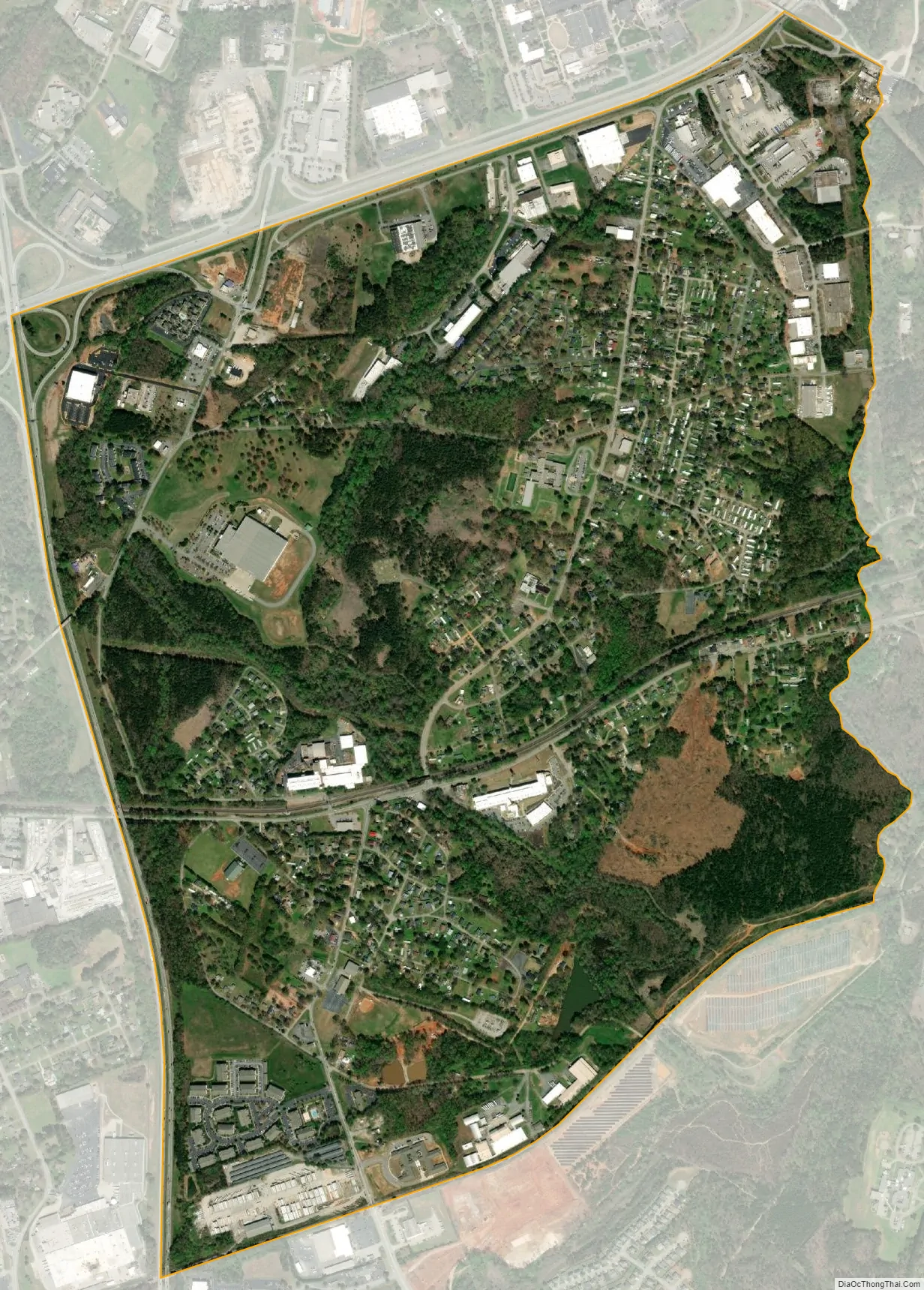
Arcadia city Satellite Map
Geography
Arcadia is located at 34°57′40″N 81°59′35″W / 34.96111°N 81.99306°W / 34.96111; -81.99306 (34.961075, -81.993118). These coordinates place the CDP to the west of the City of Spartanburg.
According to the United States Census Bureau, the CDP has a total land area of 1.960 square miles (5.087 km) and a total water area of 0.005 square mile (0.013 km).
See also
Map of South Carolina State and its subdivision:- Abbeville
- Aiken
- Allendale
- Anderson
- Bamberg
- Barnwell
- Beaufort
- Berkeley
- Calhoun
- Charleston
- Cherokee
- Chester
- Chesterfield
- Clarendon
- Colleton
- Darlington
- Dillon
- Dorchester
- Edgefield
- Fairfield
- Florence
- Georgetown
- Greenville
- Greenwood
- Hampton
- Horry
- Jasper
- Kershaw
- Lancaster
- Laurens
- Lee
- Lexington
- Marion
- Marlboro
- McCormick
- Newberry
- Oconee
- Orangeburg
- Pickens
- Richland
- Saluda
- Spartanburg
- Sumter
- Union
- Williamsburg
- York
- Alabama
- Alaska
- Arizona
- Arkansas
- California
- Colorado
- Connecticut
- Delaware
- District of Columbia
- Florida
- Georgia
- Hawaii
- Idaho
- Illinois
- Indiana
- Iowa
- Kansas
- Kentucky
- Louisiana
- Maine
- Maryland
- Massachusetts
- Michigan
- Minnesota
- Mississippi
- Missouri
- Montana
- Nebraska
- Nevada
- New Hampshire
- New Jersey
- New Mexico
- New York
- North Carolina
- North Dakota
- Ohio
- Oklahoma
- Oregon
- Pennsylvania
- Rhode Island
- South Carolina
- South Dakota
- Tennessee
- Texas
- Utah
- Vermont
- Virginia
- Washington
- West Virginia
- Wisconsin
- Wyoming