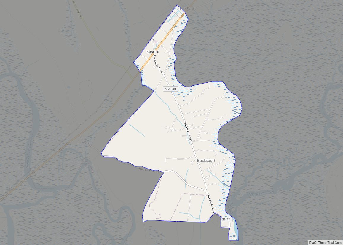
Bucksport is an unincorporated community and census-designated place (CDP) in Horry County, South Carolina, United States. The population was 876 at the 2010 census. It is a rural port on the Atlantic Intracoastal Waterway at the merger point with the Waccamaw River. The port has some services available for boaters and is also home to the Bucksport Restaurant.
| Name: | Bucksport CDP |
|---|---|
| LSAD Code: | 57 |
| LSAD Description: | CDP (suffix) |
| State: | South Carolina |
| County: | Horry County |
| Elevation: | 20 ft (6 m) |
| Total Area: | 4.22 sq mi (10.94 km²) |
| Land Area: | 4.20 sq mi (10.89 km²) |
| Water Area: | 0.02 sq mi (0.05 km²) |
| Total Population: | 745 |
| Population Density: | 177.21/sq mi (68.42/km²) |
| ZIP code: | 29527 |
| Area code: | 843, 854 |
| FIPS code: | 4510000 |
| GNISfeature ID: | 1231099 |
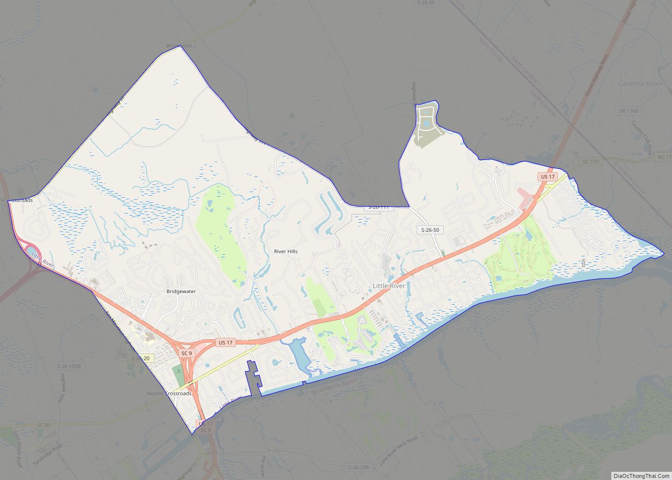
Online Interactive Map
Click on ![]() to view map in "full screen" mode.
to view map in "full screen" mode.
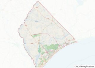
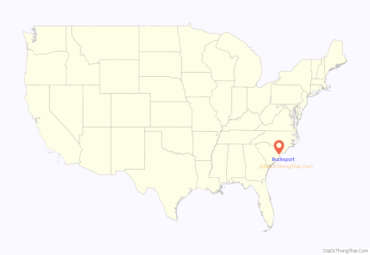
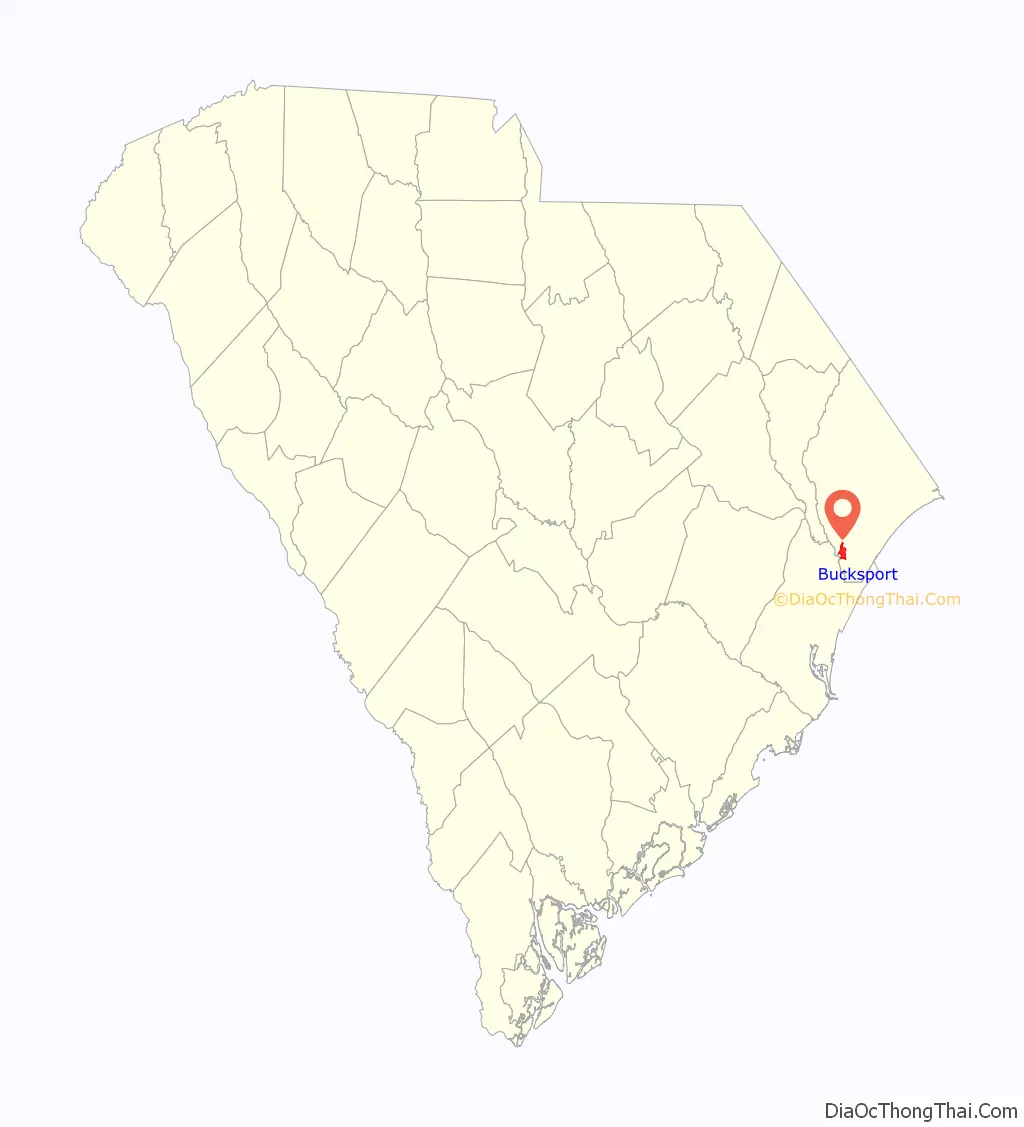
Bucksport location map. Where is Bucksport CDP?
History
Henry Buck of Bucksport, Maine, moved to South Carolina in the 1820s to start lumber mills; Horry County had a significant timber industry with its cypress, pine and hardwood forests. One of Buck’s mills was in what became Bucksport. Sawmills in Bucksport and Bucksville produced three million board feet of lumber annually by 1850. Buck used his ships to transport lumber to Georgetown and Charleston in South Carolina and as far away as New York City and Boston, and even to other countries. Lumber from Buck’s operation even went into the construction of the Brooklyn Bridge. The Independent Republic Quarterly said, “By 1860, due largely to Bucksville and Bucksport, Horry District had become one of the five greatest timber-producing districts in the state.”
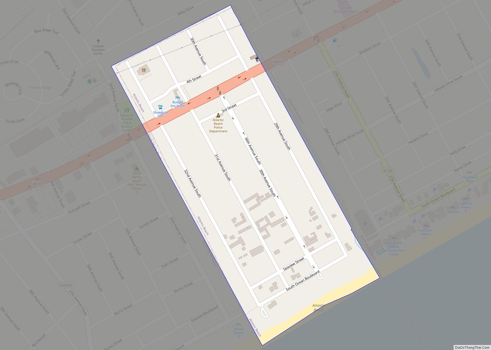
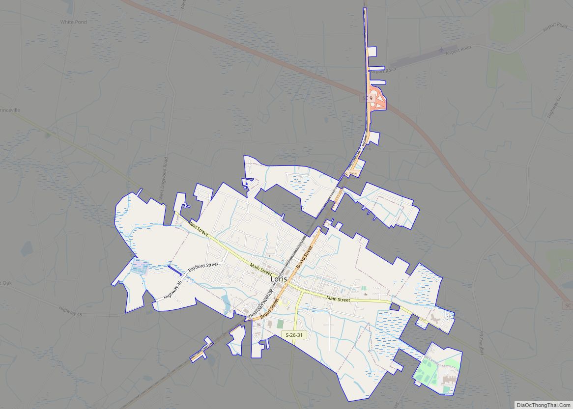
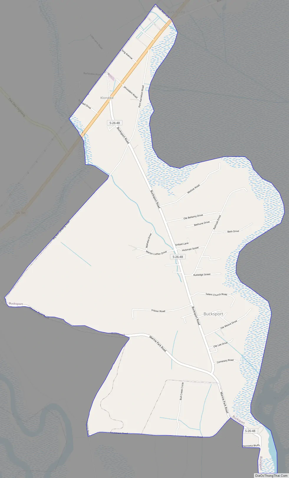
Bucksport Road Map
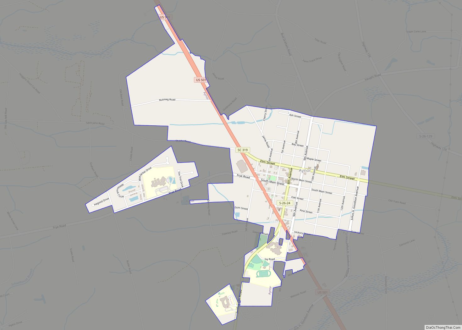
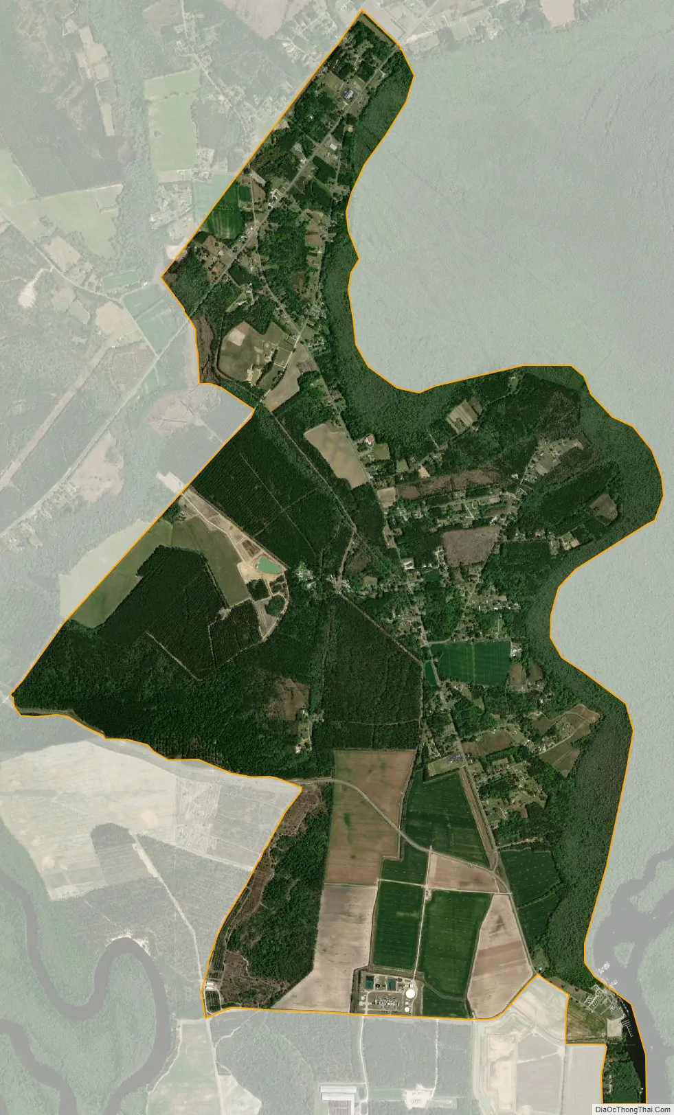
Bucksport city Satellite Map
Geography
Bucksport is in southwestern Horry County at 33°40′37″N 79°6′54″W / 33.67694°N 79.11500°W / 33.67694; -79.11500 (33.676876, -79.114896). The CDP extends from the Waccamaw River in the southeast to U.S. Route 701 in the north, with Bucksport Road forming the main road through the community. US 701 leads northeast 11 miles (18 km) to Conway, the Horry county seat, and southwest 25 miles (40 km) to Georgetown. Myrtle Beach, 12 miles (19 km) to the east as the crow flies, is 25 miles (40 km) away by highway across the Waccamaw River and Intracoastal Waterway.
According to the United States Census Bureau, the Bucksport CDP has a total area of 4.2 square miles (10.9 km), of which 0.02 square miles (0.05 km), or 0.48%, are water.
See also
Map of South Carolina State and its subdivision:- Abbeville
- Aiken
- Allendale
- Anderson
- Bamberg
- Barnwell
- Beaufort
- Berkeley
- Calhoun
- Charleston
- Cherokee
- Chester
- Chesterfield
- Clarendon
- Colleton
- Darlington
- Dillon
- Dorchester
- Edgefield
- Fairfield
- Florence
- Georgetown
- Greenville
- Greenwood
- Hampton
- Horry
- Jasper
- Kershaw
- Lancaster
- Laurens
- Lee
- Lexington
- Marion
- Marlboro
- McCormick
- Newberry
- Oconee
- Orangeburg
- Pickens
- Richland
- Saluda
- Spartanburg
- Sumter
- Union
- Williamsburg
- York
- Alabama
- Alaska
- Arizona
- Arkansas
- California
- Colorado
- Connecticut
- Delaware
- District of Columbia
- Florida
- Georgia
- Hawaii
- Idaho
- Illinois
- Indiana
- Iowa
- Kansas
- Kentucky
- Louisiana
- Maine
- Maryland
- Massachusetts
- Michigan
- Minnesota
- Mississippi
- Missouri
- Montana
- Nebraska
- Nevada
- New Hampshire
- New Jersey
- New Mexico
- New York
- North Carolina
- North Dakota
- Ohio
- Oklahoma
- Oregon
- Pennsylvania
- Rhode Island
- South Carolina
- South Dakota
- Tennessee
- Texas
- Utah
- Vermont
- Virginia
- Washington
- West Virginia
- Wisconsin
- Wyoming