Cameron is a town in Calhoun County, South Carolina, United States. The population was 424 at the 2010 census. It is part of the Columbia, South Carolina Metropolitan Statistical Area.
| Name: | Cameron town |
|---|---|
| LSAD Code: | 43 |
| LSAD Description: | town (suffix) |
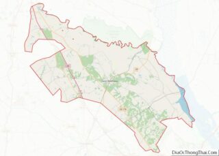
| State: | South Carolina |
| County: | Calhoun County |
| Elevation: | 177 ft (54 m) |
| Total Area: | 3.13 sq mi (8.09 km²) |
| Land Area: | 3.13 sq mi (8.09 km²) |
| Water Area: | 0.00 sq mi (0.00 km²) |
| Total Population: | 376 |
| Population Density: | 120.32/sq mi (46.46/km²) |
| ZIP code: | 29030 |
| Area code: | 803, 839 |
| FIPS code: | 4510900 |
| GNISfeature ID: | 1247115 |
Online Interactive Map
Click on ![]() to view map in "full screen" mode.
to view map in "full screen" mode.
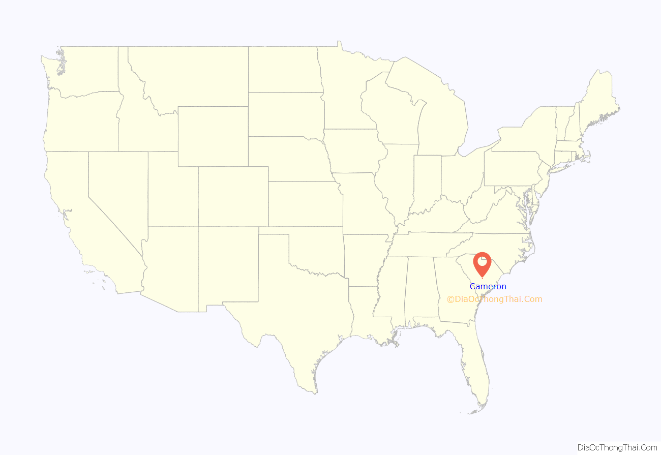
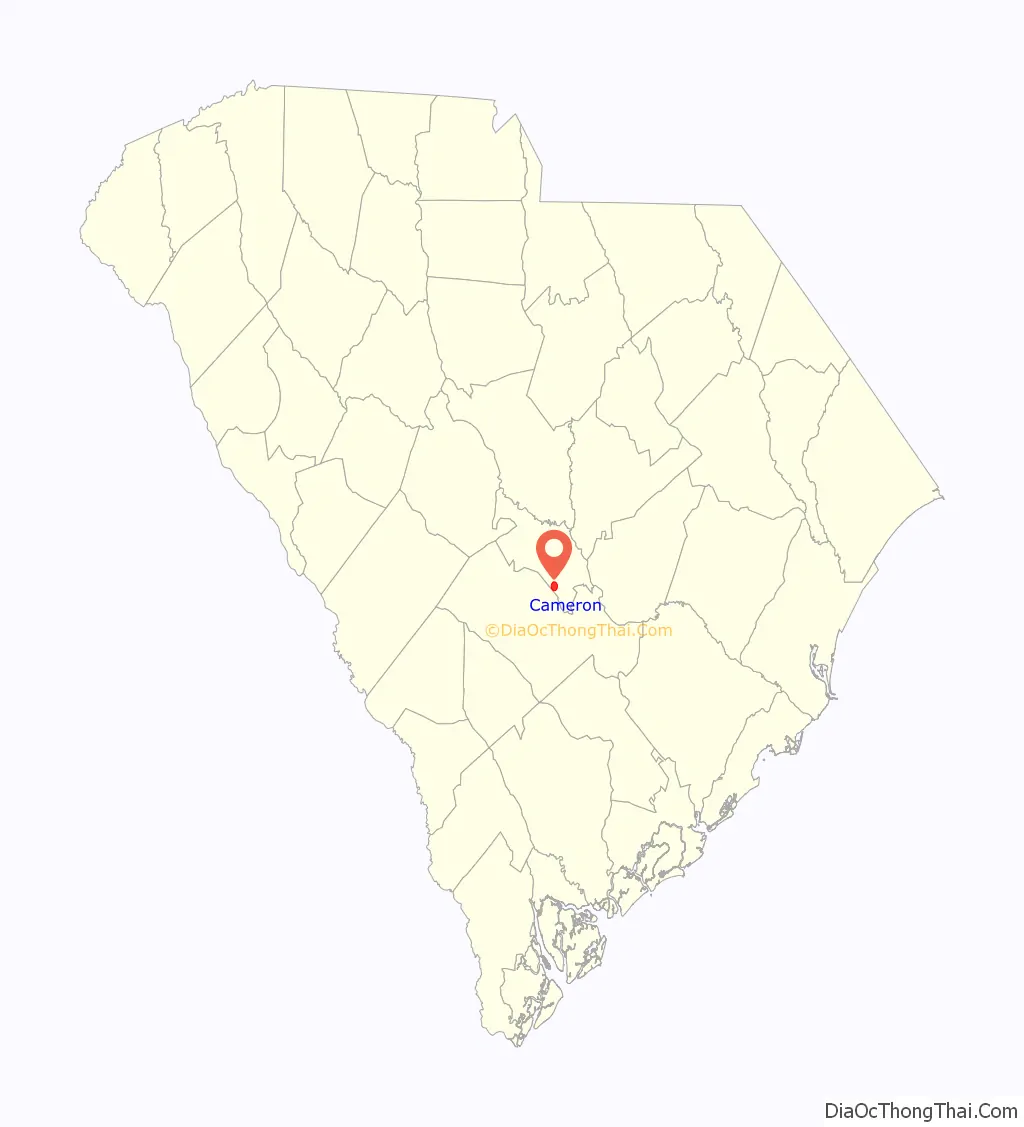
Cameron location map. Where is Cameron town?
History
The community derives its name from Clan Cameron of Scotland.
The Haigler House and Ulmer-Summers House are listed on the National Register of Historic Places.
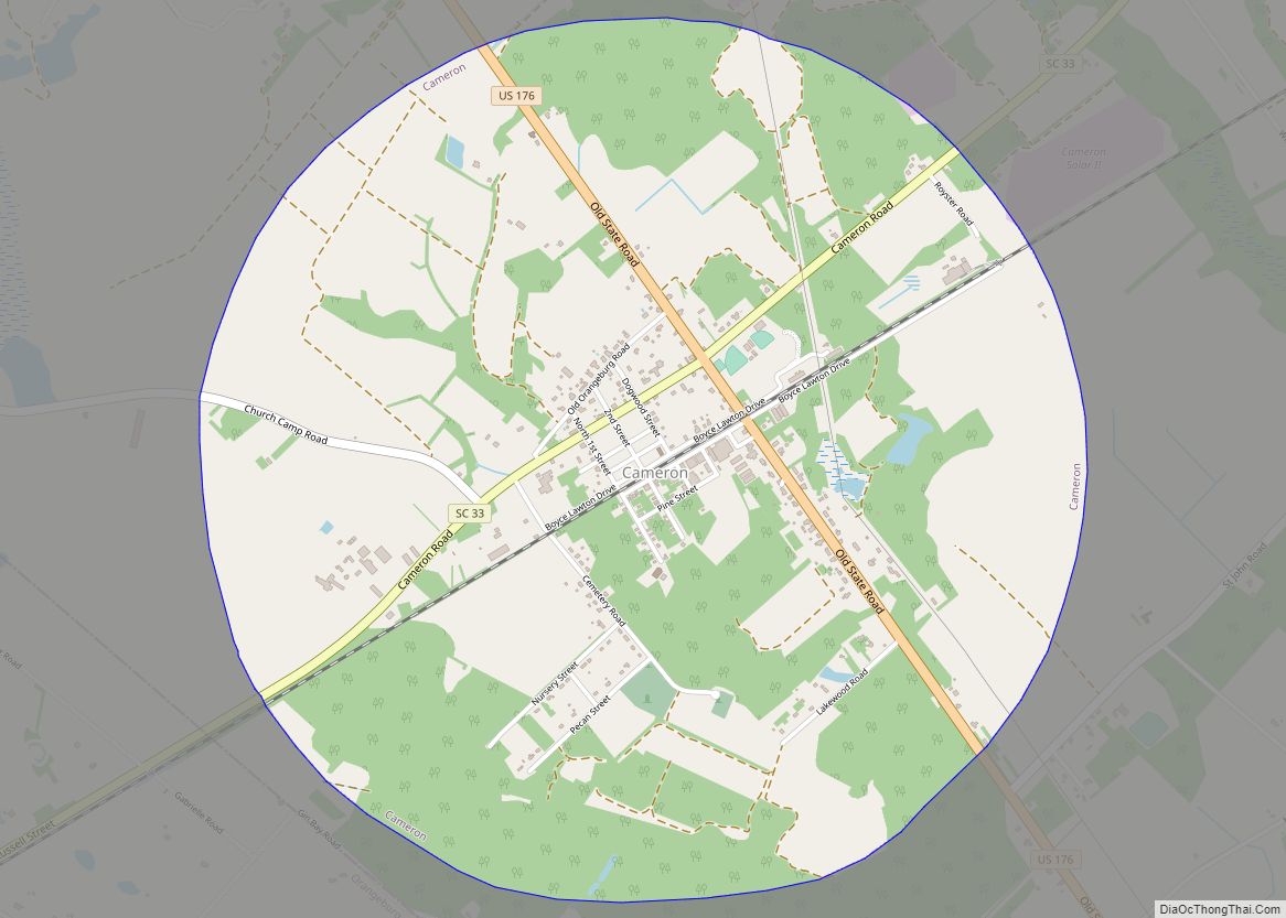
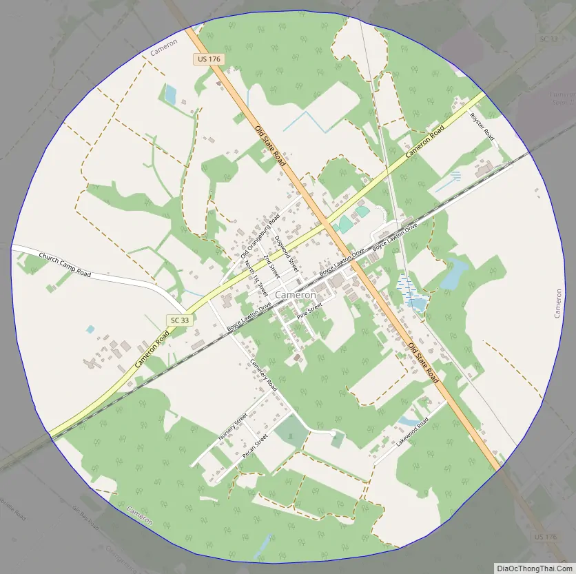
Cameron Road Map
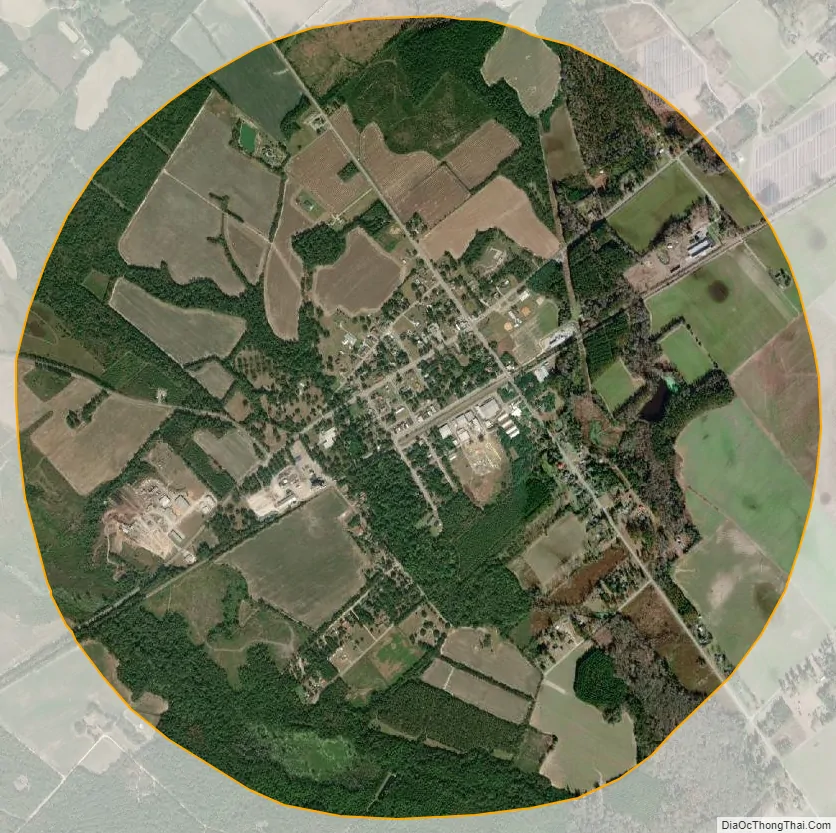
Cameron city Satellite Map
Geography
Cameron is located in southern Calhoun County at 33°33′27″N 80°42′55″W / 33.55750°N 80.71528°W / 33.55750; -80.71528 (33.557567, -80.715311). U.S. Route 176 (Old State Road) passes through the town, leading northwest 42 miles (68 km) to Columbia and southeast 74 miles (119 km) to Charleston. South Carolina Highway 33 crosses US 176 in the town, leading northeast 5 miles (8 km) to Creston and southwest five miles to Interstate 26 and 9 miles (14 km) to Orangeburg.
According to the United States Census Bureau, Cameron has a total area of 3.1 square miles (8.1 km), all land.
See also
Map of South Carolina State and its subdivision:- Abbeville
- Aiken
- Allendale
- Anderson
- Bamberg
- Barnwell
- Beaufort
- Berkeley
- Calhoun
- Charleston
- Cherokee
- Chester
- Chesterfield
- Clarendon
- Colleton
- Darlington
- Dillon
- Dorchester
- Edgefield
- Fairfield
- Florence
- Georgetown
- Greenville
- Greenwood
- Hampton
- Horry
- Jasper
- Kershaw
- Lancaster
- Laurens
- Lee
- Lexington
- Marion
- Marlboro
- McCormick
- Newberry
- Oconee
- Orangeburg
- Pickens
- Richland
- Saluda
- Spartanburg
- Sumter
- Union
- Williamsburg
- York
- Alabama
- Alaska
- Arizona
- Arkansas
- California
- Colorado
- Connecticut
- Delaware
- District of Columbia
- Florida
- Georgia
- Hawaii
- Idaho
- Illinois
- Indiana
- Iowa
- Kansas
- Kentucky
- Louisiana
- Maine
- Maryland
- Massachusetts
- Michigan
- Minnesota
- Mississippi
- Missouri
- Montana
- Nebraska
- Nevada
- New Hampshire
- New Jersey
- New Mexico
- New York
- North Carolina
- North Dakota
- Ohio
- Oklahoma
- Oregon
- Pennsylvania
- Rhode Island
- South Carolina
- South Dakota
- Tennessee
- Texas
- Utah
- Vermont
- Virginia
- Washington
- West Virginia
- Wisconsin
- Wyoming