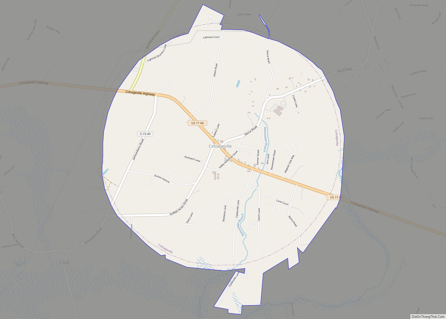
Cottageville is a town in Colleton County, South Carolina, United States. The population was 762 at the 2010 census.
| Name: | Cottageville town |
|---|---|
| LSAD Code: | 43 |
| LSAD Description: | town (suffix) |
| State: | South Carolina |
| County: | Colleton County |
| Elevation: | 46 ft (14 m) |
| Total Area: | 3.42 sq mi (8.85 km²) |
| Land Area: | 3.42 sq mi (8.85 km²) |
| Water Area: | 0.00 sq mi (0.00 km²) |
| Total Population: | 701 |
| Population Density: | 205.21/sq mi (79.23/km²) |
| ZIP code: | 29435 |
| Area code: | 843, 854 |
| FIPS code: | 4516990 |
| GNISfeature ID: | 1231198 |
| Website: | www.cottageville.org |
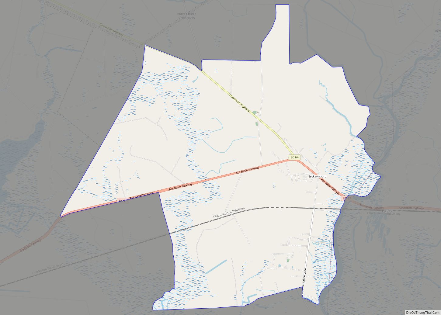
Online Interactive Map
Click on ![]() to view map in "full screen" mode.
to view map in "full screen" mode.
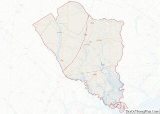
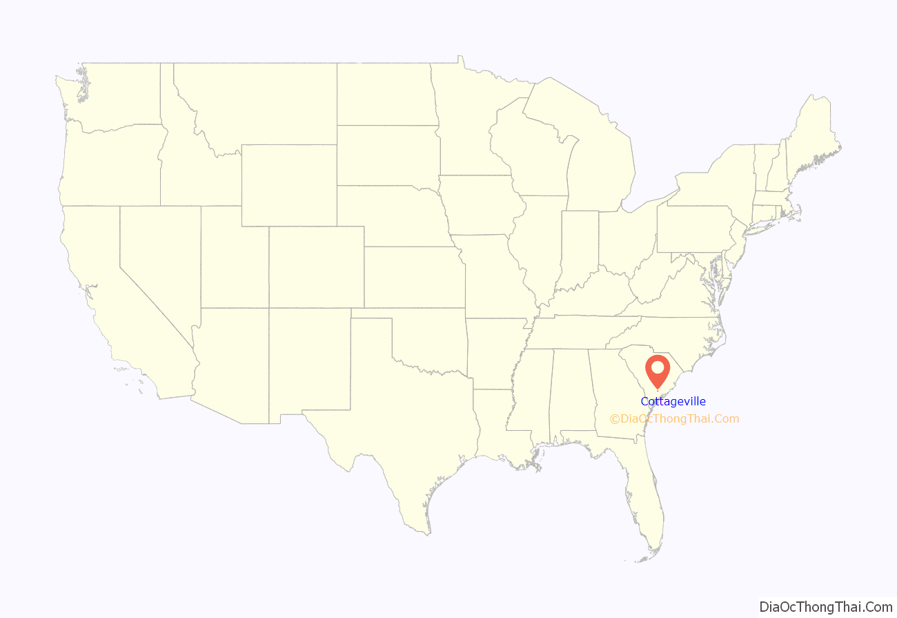
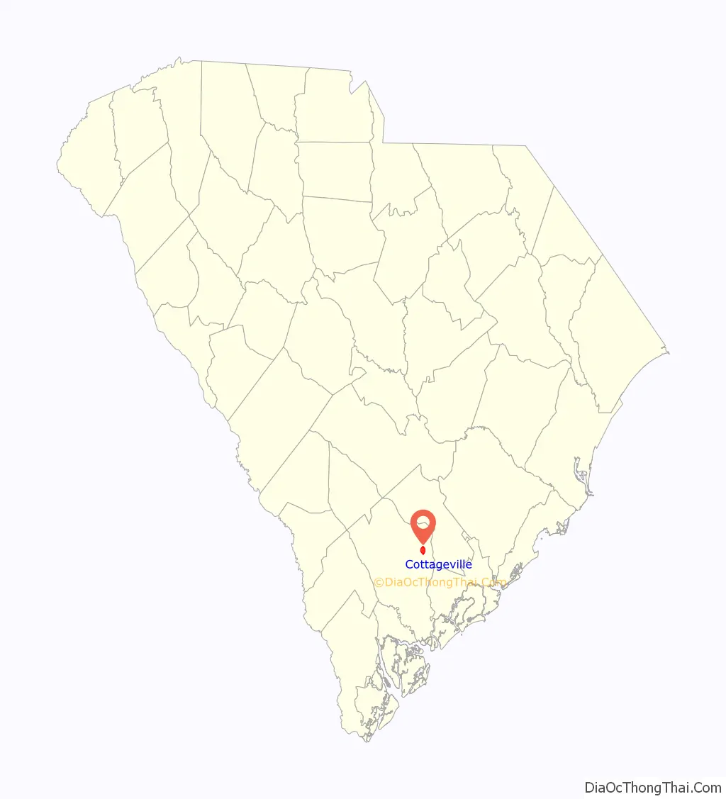
Cottageville location map. Where is Cottageville town?
History
Cottageville was incorporated in 1937 because residents in the area desired a post office.
On May 16, 2011, the former mayor of Cottageville, Bert Reeves, was shot and killed by Cottageville Police Officer Randall Price. Price alleged that Reeves tried to assault him because Price had arrested Reeves’ employee in March 2011. However, the attorney of the Reeves estate stated that Price was never at risk during the encounter and that Price boxed in Reeves’ car without cause. Reeves’ estate was awarded $97.5 million by a jury in a lawsuit against the city for negligence.
While in office, Reeves reduced the number of police officers in the Cottageville police department from six to three and lowered the department’s reliance on speed ticket revenue.
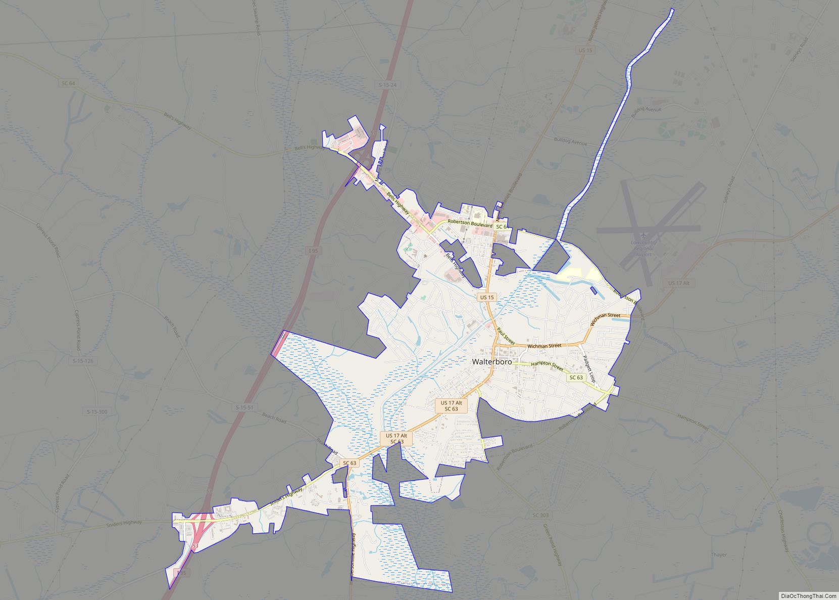
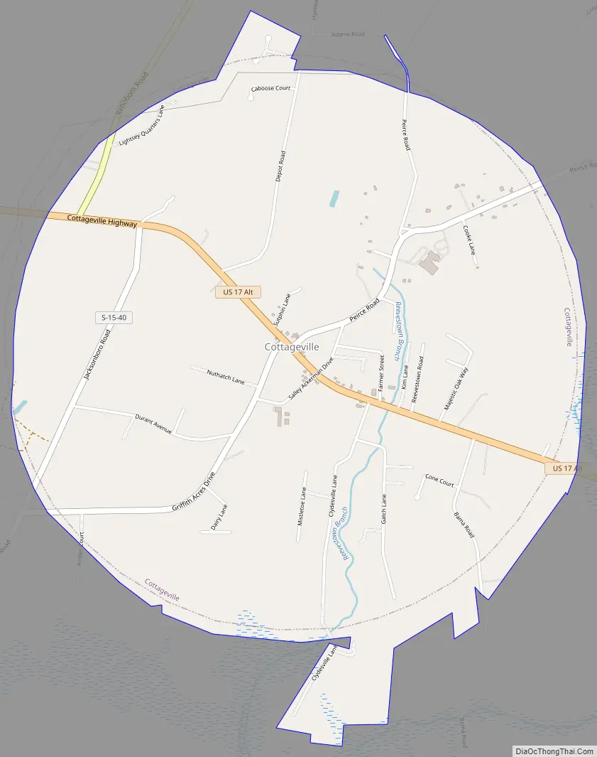
Cottageville Road Map
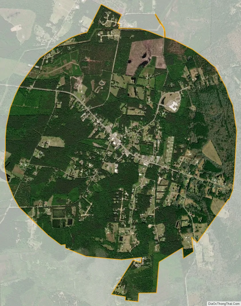
Cottageville city Satellite Map
Geography
Cottageville is in eastern Colleton County, along U.S. Route 17 Alt. Walterboro, the county seat, is 11 miles (18 km) to the west, and Summerville is 20 miles (32 km) to the east.
According to the United States Census Bureau, Cottageville has a total area of 3.4 square miles (8.8 km), all land.
Cottageville has a public library, a branch of the Colleton County Library System.
See also
Map of South Carolina State and its subdivision:- Abbeville
- Aiken
- Allendale
- Anderson
- Bamberg
- Barnwell
- Beaufort
- Berkeley
- Calhoun
- Charleston
- Cherokee
- Chester
- Chesterfield
- Clarendon
- Colleton
- Darlington
- Dillon
- Dorchester
- Edgefield
- Fairfield
- Florence
- Georgetown
- Greenville
- Greenwood
- Hampton
- Horry
- Jasper
- Kershaw
- Lancaster
- Laurens
- Lee
- Lexington
- Marion
- Marlboro
- McCormick
- Newberry
- Oconee
- Orangeburg
- Pickens
- Richland
- Saluda
- Spartanburg
- Sumter
- Union
- Williamsburg
- York
- Alabama
- Alaska
- Arizona
- Arkansas
- California
- Colorado
- Connecticut
- Delaware
- District of Columbia
- Florida
- Georgia
- Hawaii
- Idaho
- Illinois
- Indiana
- Iowa
- Kansas
- Kentucky
- Louisiana
- Maine
- Maryland
- Massachusetts
- Michigan
- Minnesota
- Mississippi
- Missouri
- Montana
- Nebraska
- Nevada
- New Hampshire
- New Jersey
- New Mexico
- New York
- North Carolina
- North Dakota
- Ohio
- Oklahoma
- Oregon
- Pennsylvania
- Rhode Island
- South Carolina
- South Dakota
- Tennessee
- Texas
- Utah
- Vermont
- Virginia
- Washington
- West Virginia
- Wisconsin
- Wyoming