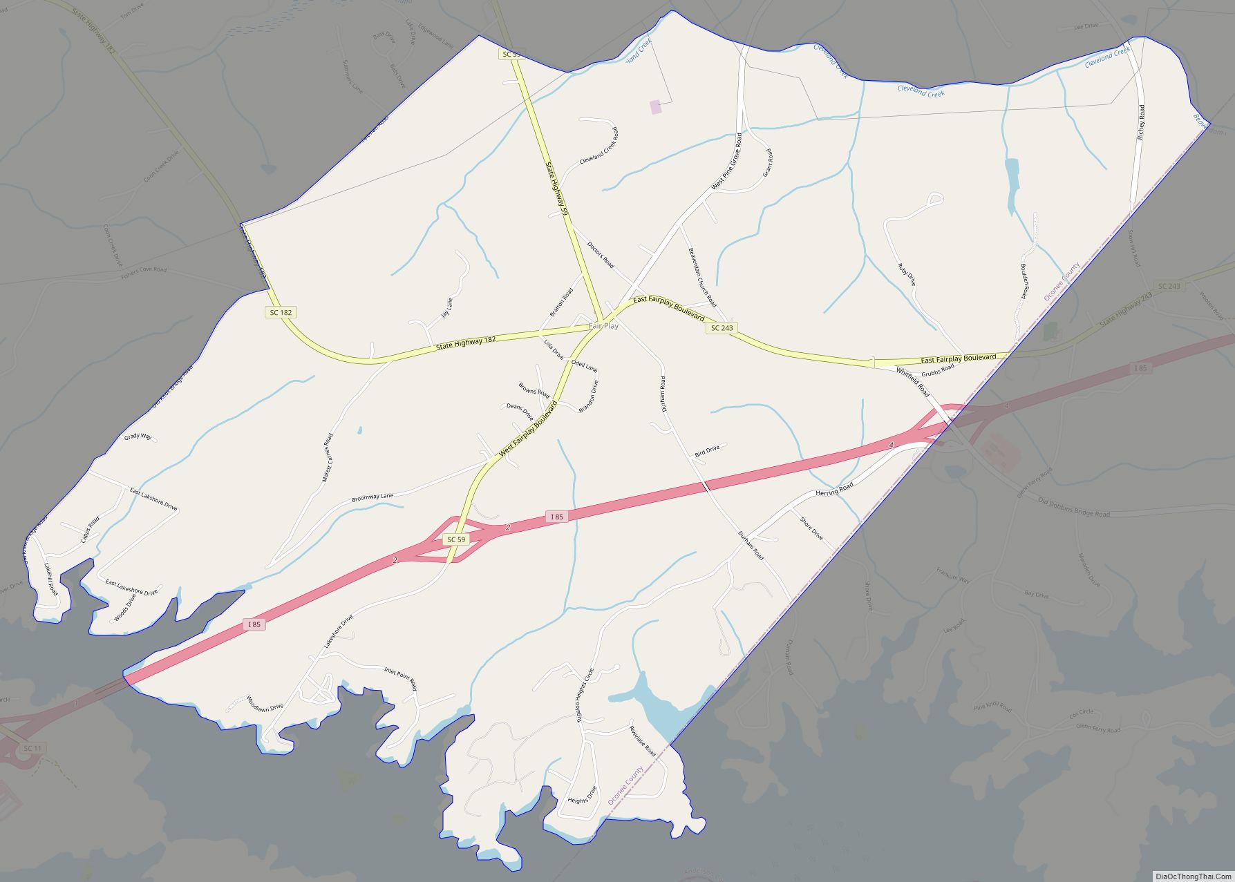
Fair Play is a census-designated place located in Oconee County in the U.S. state of South Carolina. A small portion of the CDP extends into Anderson County. As of the 2010 census, the population of Fair Play was 687.
According to tradition, the name stems from an incident in which a bystander implored two brawling pioneers to “play fair”.
| Name: | Fair Play CDP |
|---|---|
| LSAD Code: | 57 |
| LSAD Description: | CDP (suffix) |
| State: | South Carolina |
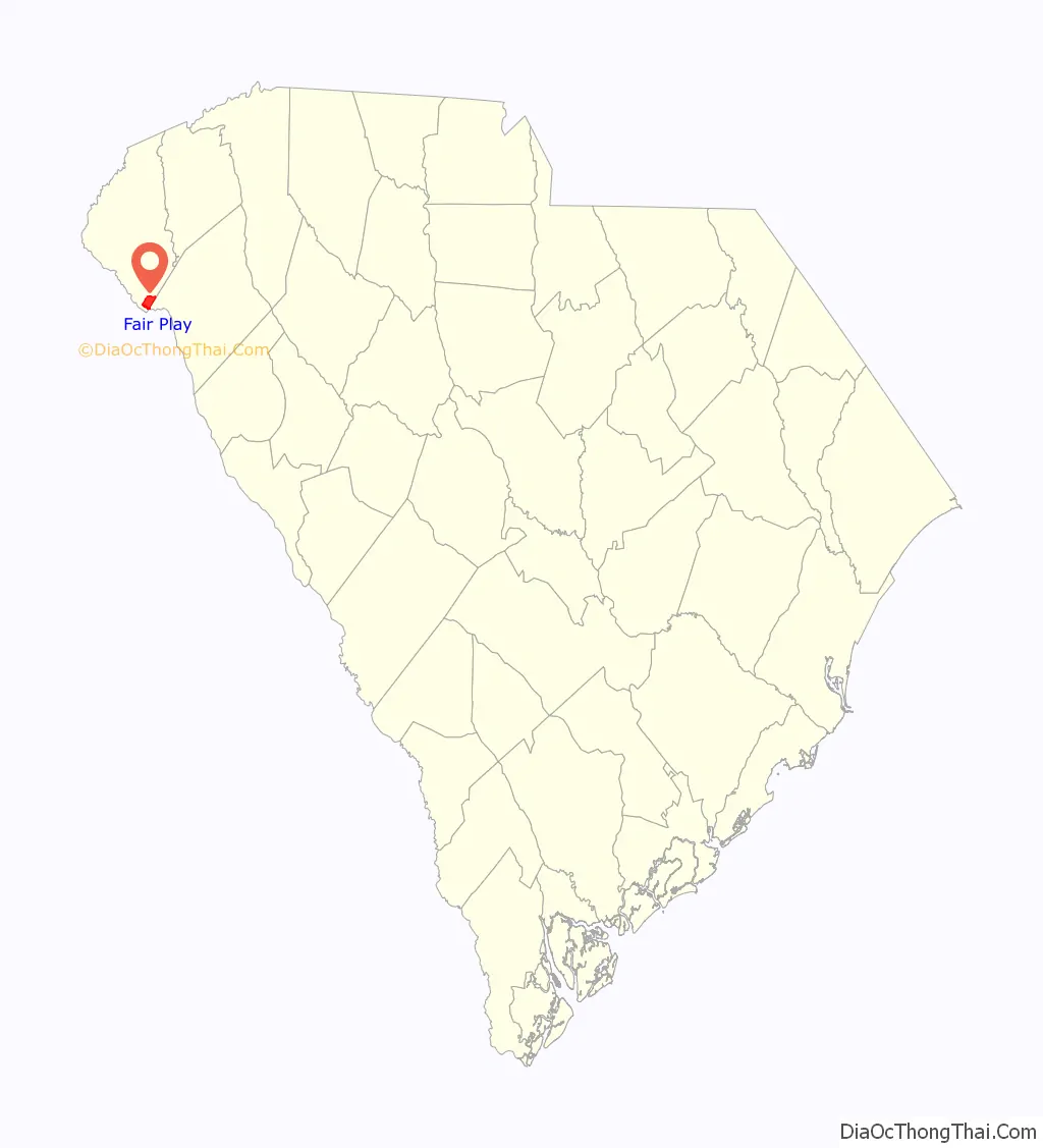
| County: | Anderson County, Oconee County |
| Elevation: | 781 ft (238 m) |
| Total Area: | 6.79 sq mi (17.59 km²) |
| Land Area: | 6.77 sq mi (17.53 km²) |
| Water Area: | 0.02 sq mi (0.06 km²) |
| Total Population: | 704 |
| Population Density: | 104.02/sq mi (40.16/km²) |
| ZIP code: | 29643 |
| FIPS code: | 4524730 |
| GNISfeature ID: | 2584531 |
Online Interactive Map
Click on ![]() to view map in "full screen" mode.
to view map in "full screen" mode.
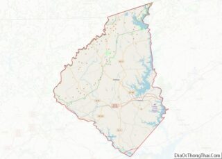
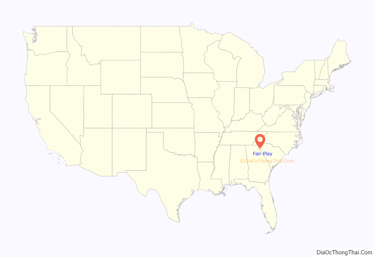
Fair Play location map. Where is Fair Play CDP?
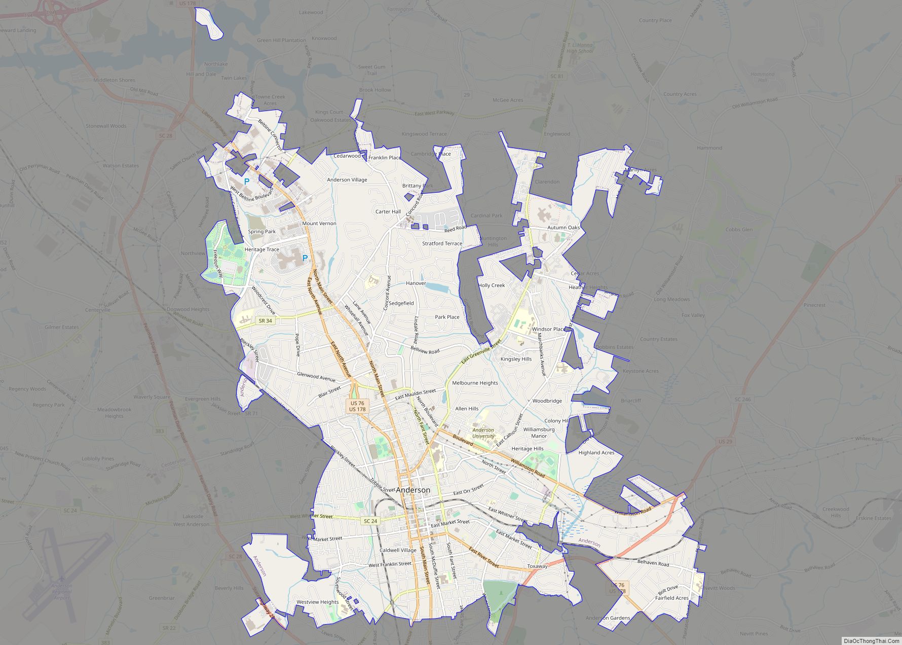
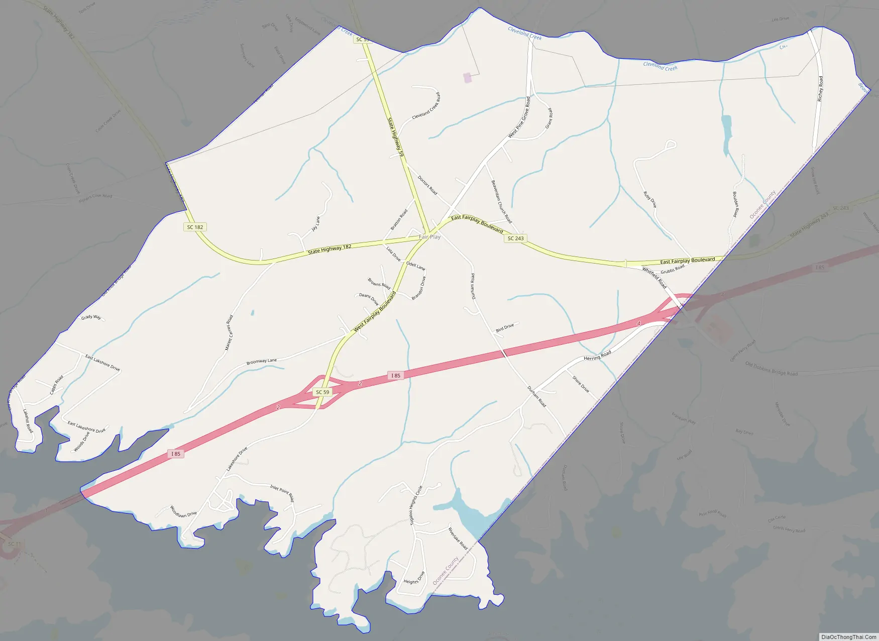
Fair Play Road Map
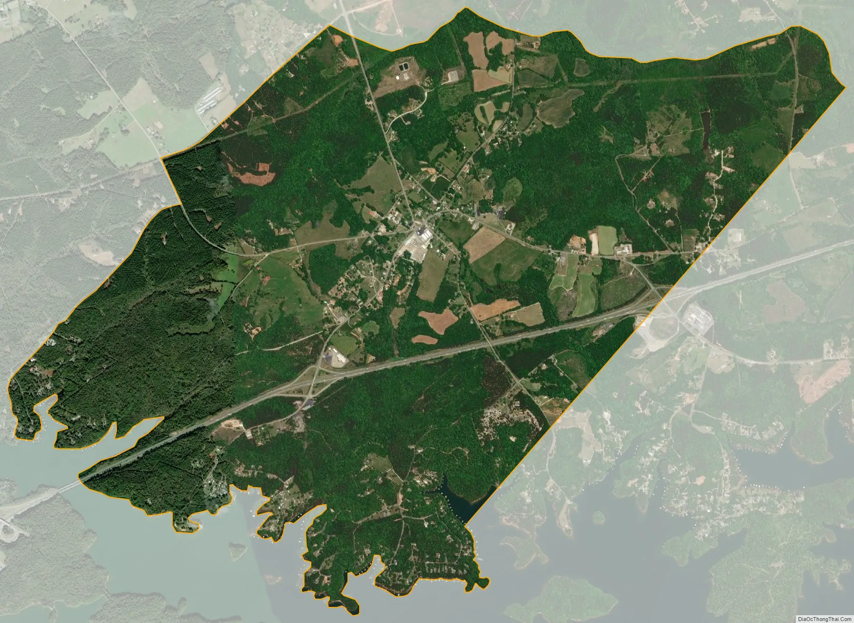
Fair Play city Satellite Map
Geography
Fair Play is located in the southern corner of Oconee County, which occupies the northwestern corner of South Carolina. The CDP extends from the town center south to Lake Hartwell, a large reservoir on the South Carolina–Georgia line. Interstate 85 passes through the CDP, with access via exits 2 and 4. Greenville, South Carolina, is 44 miles (71 km) to the northeast, and Atlanta, Georgia, is 100 miles (160 km) to the southwest.
See also
Map of South Carolina State and its subdivision:- Abbeville
- Aiken
- Allendale
- Anderson
- Bamberg
- Barnwell
- Beaufort
- Berkeley
- Calhoun
- Charleston
- Cherokee
- Chester
- Chesterfield
- Clarendon
- Colleton
- Darlington
- Dillon
- Dorchester
- Edgefield
- Fairfield
- Florence
- Georgetown
- Greenville
- Greenwood
- Hampton
- Horry
- Jasper
- Kershaw
- Lancaster
- Laurens
- Lee
- Lexington
- Marion
- Marlboro
- McCormick
- Newberry
- Oconee
- Orangeburg
- Pickens
- Richland
- Saluda
- Spartanburg
- Sumter
- Union
- Williamsburg
- York
- Alabama
- Alaska
- Arizona
- Arkansas
- California
- Colorado
- Connecticut
- Delaware
- District of Columbia
- Florida
- Georgia
- Hawaii
- Idaho
- Illinois
- Indiana
- Iowa
- Kansas
- Kentucky
- Louisiana
- Maine
- Maryland
- Massachusetts
- Michigan
- Minnesota
- Mississippi
- Missouri
- Montana
- Nebraska
- Nevada
- New Hampshire
- New Jersey
- New Mexico
- New York
- North Carolina
- North Dakota
- Ohio
- Oklahoma
- Oregon
- Pennsylvania
- Rhode Island
- South Carolina
- South Dakota
- Tennessee
- Texas
- Utah
- Vermont
- Virginia
- Washington
- West Virginia
- Wisconsin
- Wyoming