Fort Lawn is a town in Chester County, South Carolina. The population was 895 at the 2010 census.
| Name: | Fort Lawn town |
|---|---|
| LSAD Code: | 43 |
| LSAD Description: | town (suffix) |
| State: | South Carolina |
| County: | Chester County |
| Incorporated: | 1887 |
| Elevation: | 532 ft (162 m) |
| Total Area: | 1.39 sq mi (3.61 km²) |
| Land Area: | 1.39 sq mi (3.61 km²) |
| Water Area: | 0.00 sq mi (0.00 km²) |
| Total Population: | 962 |
| Population Density: | 690.60/sq mi (266.73/km²) |
| ZIP code: | 29714 |
| Area code: | 803, 839 |
| FIPS code: | 4526845 |
| GNISfeature ID: | 1222502 |
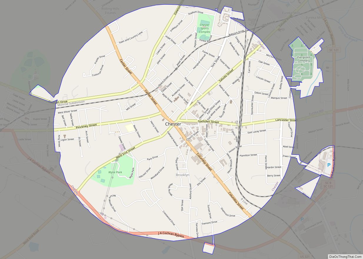
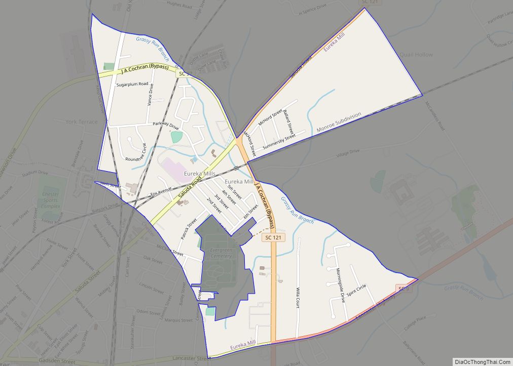
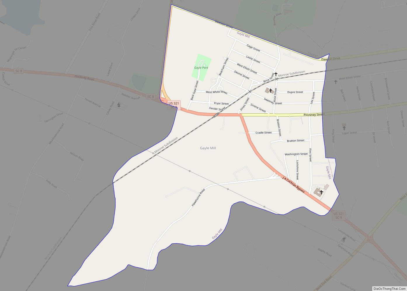
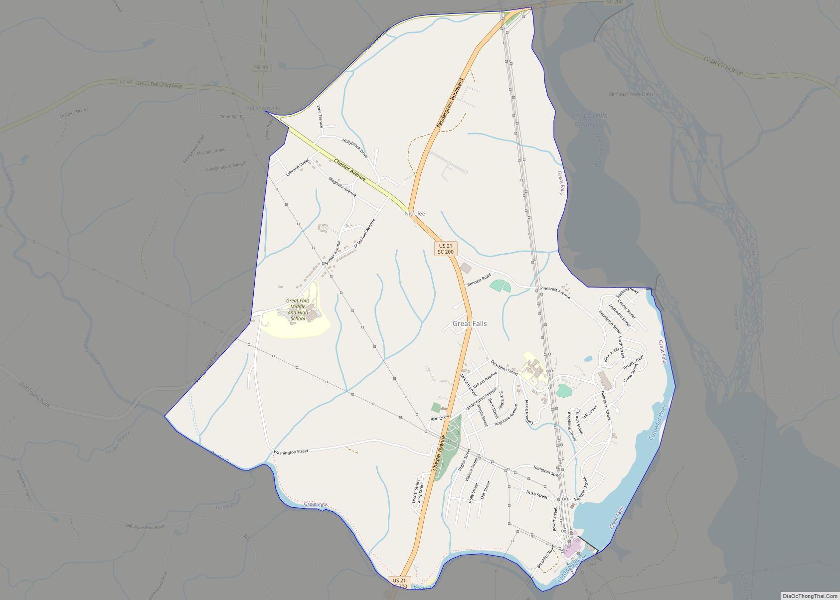
Online Interactive Map
Click on ![]() to view map in "full screen" mode.
to view map in "full screen" mode.
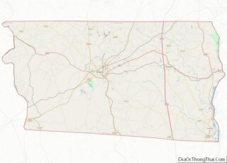
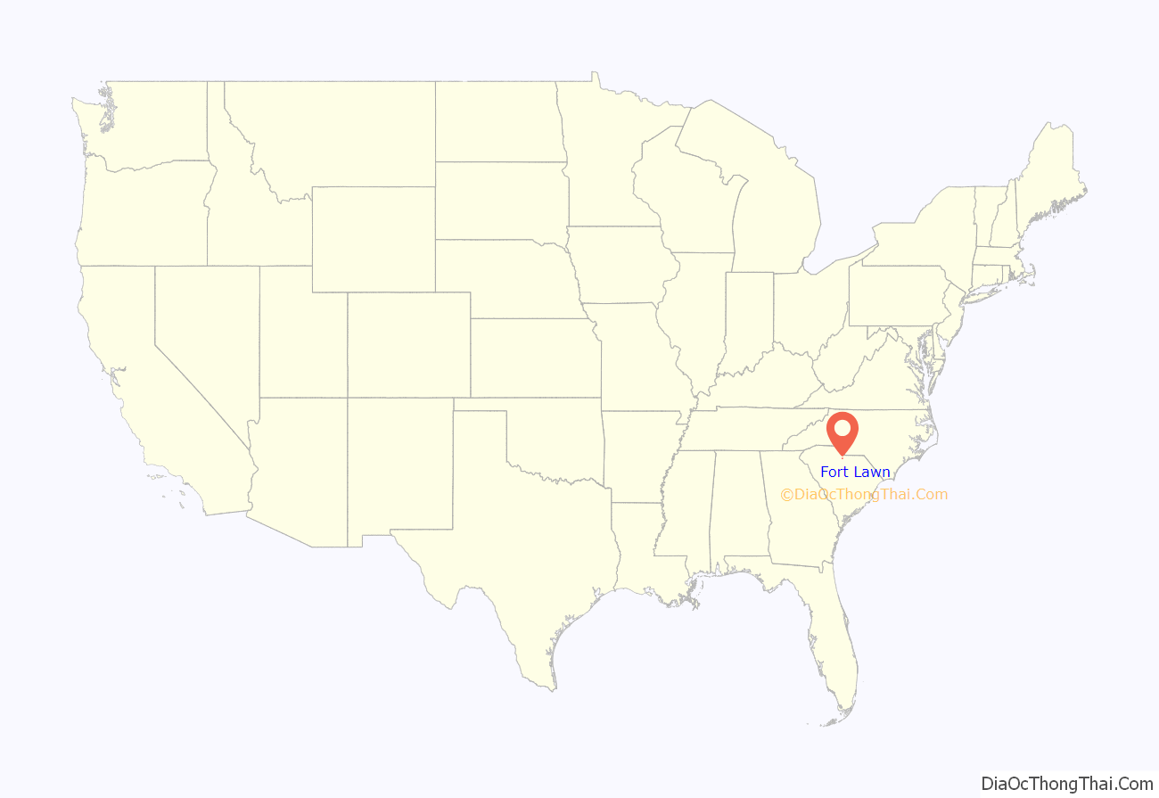
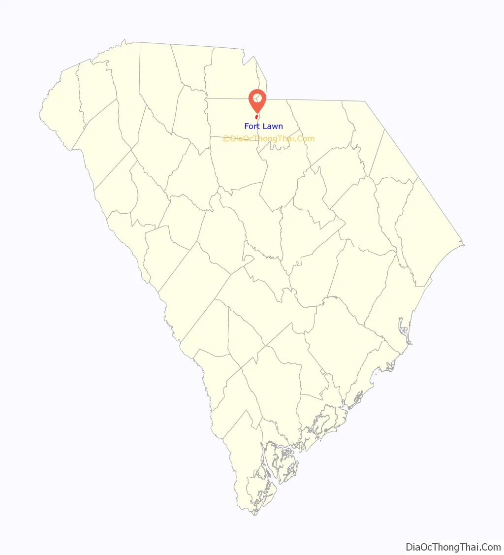
Fort Lawn location map. Where is Fort Lawn town?
History
John A. G. Walker owned a 1,000-acre (400 ha) plantation in Chester County. After Walker died in the 1870s, his widow wanted a town built, which would be named Walkerville. She offered the Chester and Cheraw Railroad land to build a line through the proposed town, which they did. The Walkers’ daughter married a Dr. Fort, who had a large home with a lawn next to the railroad. The story is that the railroad’s conductor would say, “Everybody off for Fort’s Lawn!”
After Southern Power built a dam in 1907, the nearby town of Great Falls saw considerably more growth than Fort Lawn. In 1959, area leaders worked to attract industry, and over the next three years, companies including Springs Industries spent $18 million.
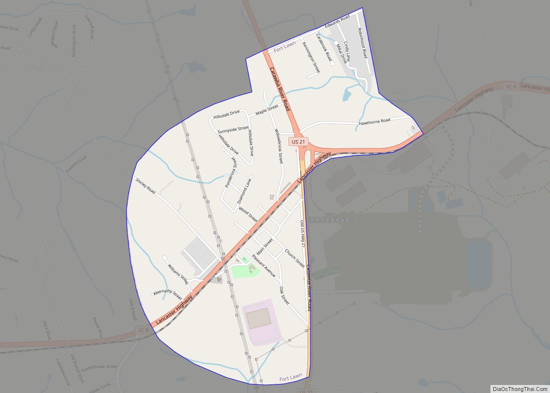
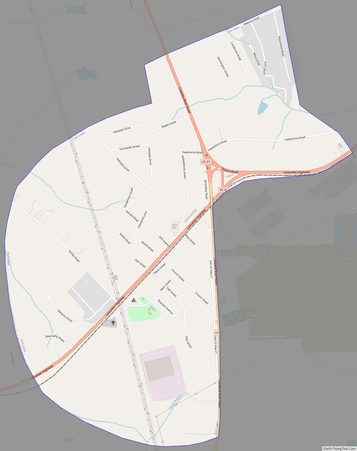
Fort Lawn Road Map
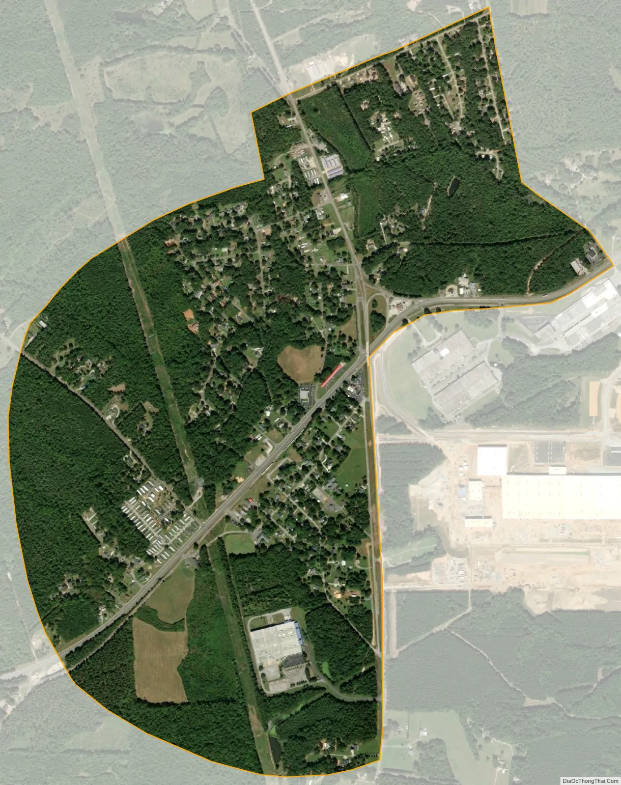
Fort Lawn city Satellite Map
Geography
Fort Lawn is in eastern Chester County at 34°42′3″N 80°53′47″W / 34.70083°N 80.89639°W / 34.70083; -80.89639 (34.700811, -80.896469), about 2 miles (3 km) west of the Catawba River. U.S. Route 21 passes through the town, leading north 20 miles (32 km) to Rock Hill and south 9 miles (14 km) to Great Falls. South Carolina Highway 9 crosses US 21 in the center of Fort Lawn, leading east across the Catawba River 8 miles (13 km) to Lancaster and west 10 miles (16 km) to Interstate 77 north of Richburg.
Fort Lawn has a total area of 1.4 square miles (3.6 km), all of it land.
See also
Map of South Carolina State and its subdivision:- Abbeville
- Aiken
- Allendale
- Anderson
- Bamberg
- Barnwell
- Beaufort
- Berkeley
- Calhoun
- Charleston
- Cherokee
- Chester
- Chesterfield
- Clarendon
- Colleton
- Darlington
- Dillon
- Dorchester
- Edgefield
- Fairfield
- Florence
- Georgetown
- Greenville
- Greenwood
- Hampton
- Horry
- Jasper
- Kershaw
- Lancaster
- Laurens
- Lee
- Lexington
- Marion
- Marlboro
- McCormick
- Newberry
- Oconee
- Orangeburg
- Pickens
- Richland
- Saluda
- Spartanburg
- Sumter
- Union
- Williamsburg
- York
- Alabama
- Alaska
- Arizona
- Arkansas
- California
- Colorado
- Connecticut
- Delaware
- District of Columbia
- Florida
- Georgia
- Hawaii
- Idaho
- Illinois
- Indiana
- Iowa
- Kansas
- Kentucky
- Louisiana
- Maine
- Maryland
- Massachusetts
- Michigan
- Minnesota
- Mississippi
- Missouri
- Montana
- Nebraska
- Nevada
- New Hampshire
- New Jersey
- New Mexico
- New York
- North Carolina
- North Dakota
- Ohio
- Oklahoma
- Oregon
- Pennsylvania
- Rhode Island
- South Carolina
- South Dakota
- Tennessee
- Texas
- Utah
- Vermont
- Virginia
- Washington
- West Virginia
- Wisconsin
- Wyoming