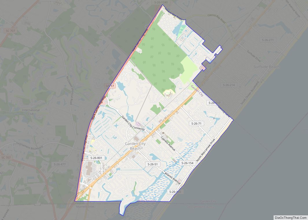
Garden City, sometimes known as Garden City Beach, is a census-designated place (CDP) in Horry County, South Carolina, United States. The population was 9,209 at the 2010 census. Garden City Beach is located directly south of Surfside Beach. The developed part of the beach extends south beyond the limits of the Garden City CDP, into Georgetown County, and ends on a peninsula at the mouth of Murrells Inlet.
| Name: | Garden City CDP |
|---|---|
| LSAD Code: | 57 |
| LSAD Description: | CDP (suffix) |
| State: | South Carolina |
| County: | Horry County |
| Elevation: | 20 ft (6 m) |
| Total Area: | 5.45 sq mi (14.12 km²) |
| Land Area: | 5.34 sq mi (13.84 km²) |
| Water Area: | 0.11 sq mi (0.28 km²) |
| Total Population: | 10,235 |
| Population Density: | 1,914.87/sq mi (739.33/km²) |
| ZIP code: | 29576 |
| Area code: | 843, 854 |
| FIPS code: | 4528455 |
| GNISfeature ID: | 1867521 |
Online Interactive Map
Click on ![]() to view map in "full screen" mode.
to view map in "full screen" mode.
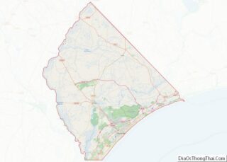
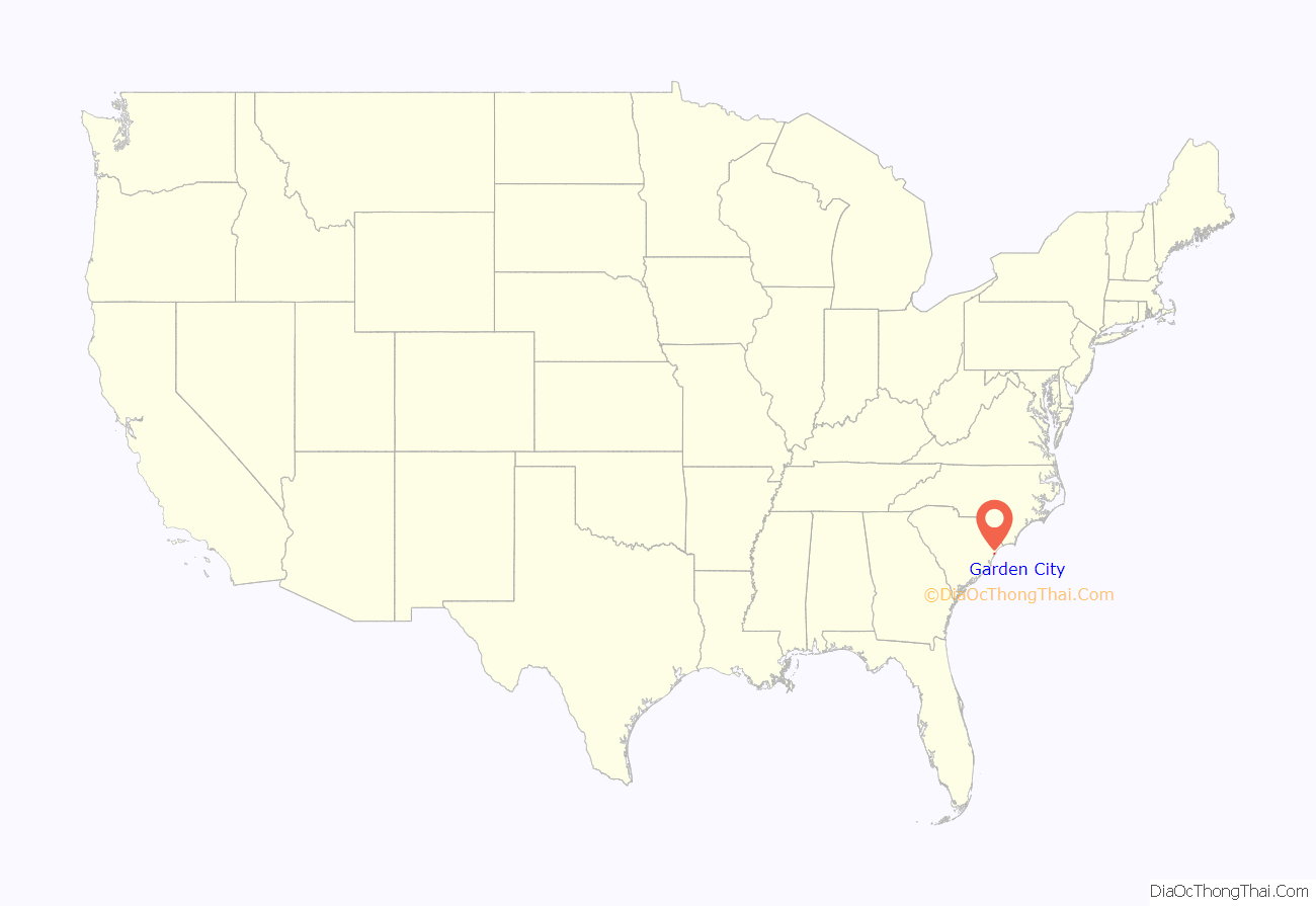
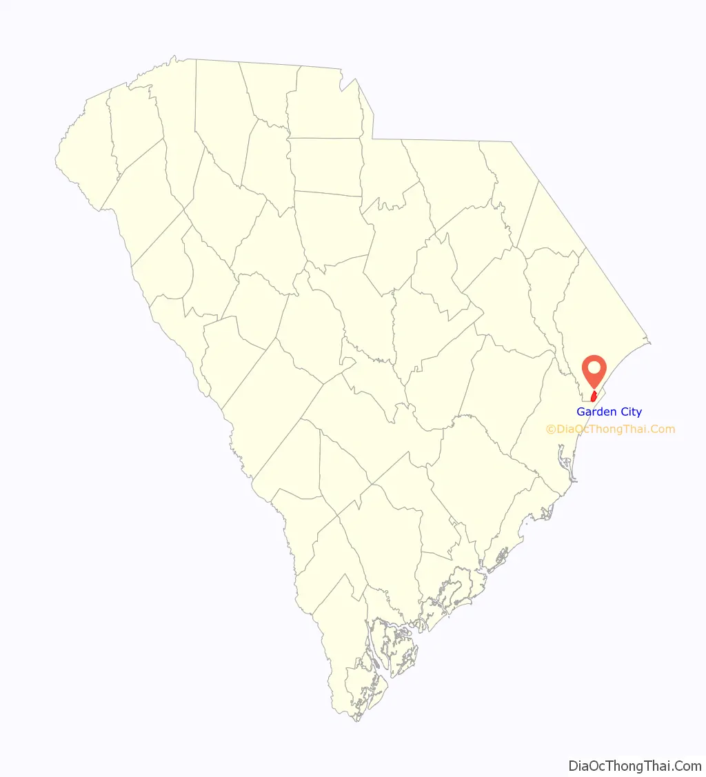
Garden City location map. Where is Garden City CDP?
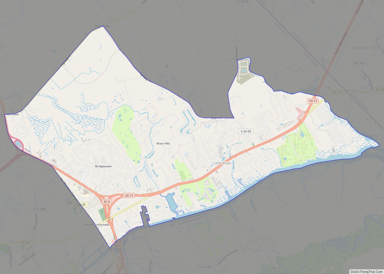
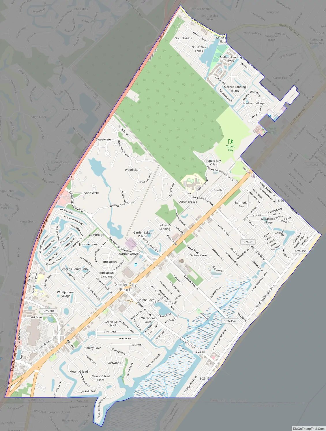
Garden City Road Map
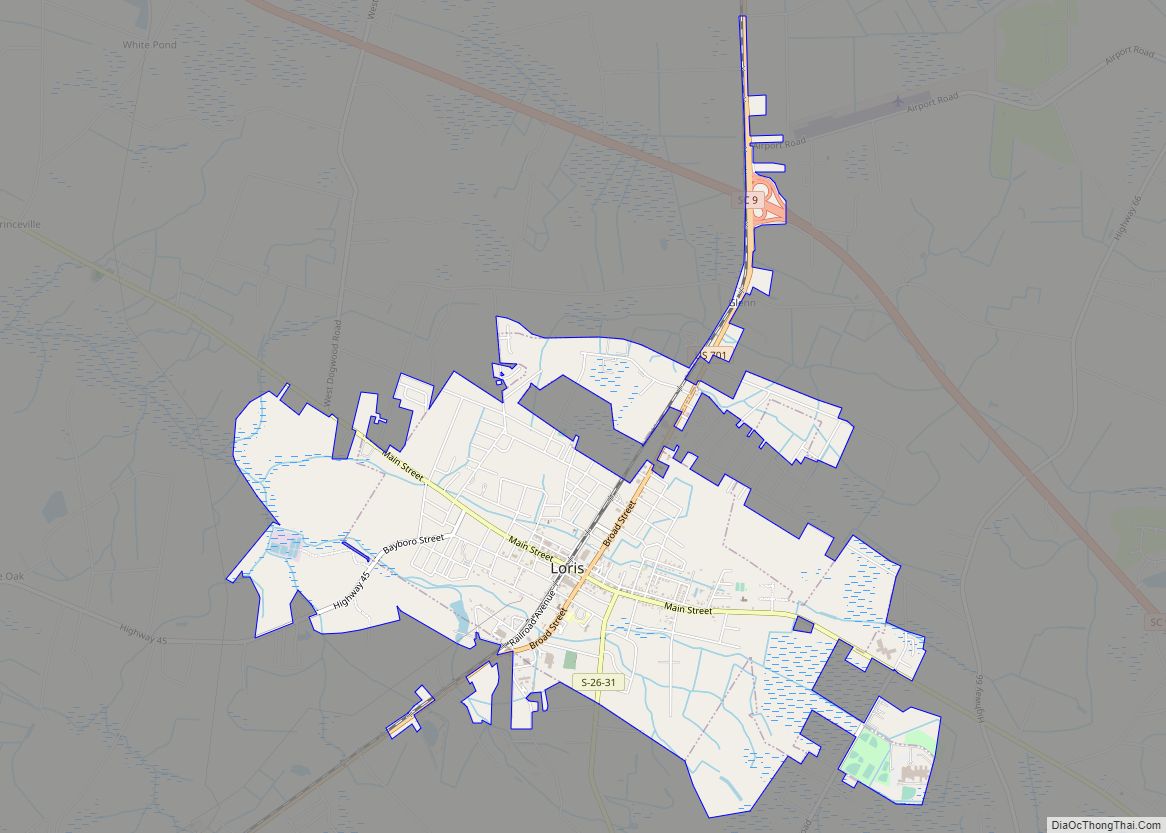
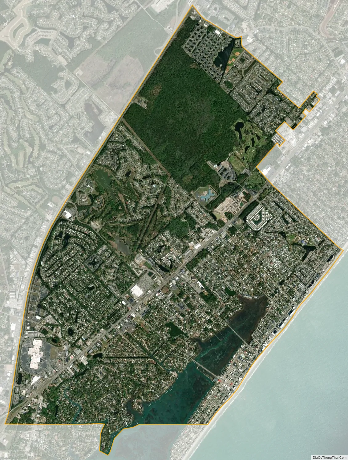
Garden City city Satellite Map
Geography
Garden City is located in southern Horry County at 33°35′16″N 79°0′19″W / 33.58778°N 79.00528°W / 33.58778; -79.00528 (33.587760, -79.005221). It is bordered to the northeast by the town of Surfside Beach, to the northwest by U.S. Route 17, to the south by the Georgetown County/Horry County line, and to the southeast by the Atlantic Ocean. U.S. Route 17 Business is the main road through the center of the community, leading northeast 10 miles (16 km) to the center of Myrtle Beach. Georgetown is 25 miles (40 km) to the southwest via US 17.
According to the United States Census Bureau, the Garden City CDP has a total area of 5.4 square miles (14.1 km), of which 5.4 square miles (13.9 km) are land and 0.1 square miles (0.2 km), or 1.47%, are water.
See also
Map of South Carolina State and its subdivision:- Abbeville
- Aiken
- Allendale
- Anderson
- Bamberg
- Barnwell
- Beaufort
- Berkeley
- Calhoun
- Charleston
- Cherokee
- Chester
- Chesterfield
- Clarendon
- Colleton
- Darlington
- Dillon
- Dorchester
- Edgefield
- Fairfield
- Florence
- Georgetown
- Greenville
- Greenwood
- Hampton
- Horry
- Jasper
- Kershaw
- Lancaster
- Laurens
- Lee
- Lexington
- Marion
- Marlboro
- McCormick
- Newberry
- Oconee
- Orangeburg
- Pickens
- Richland
- Saluda
- Spartanburg
- Sumter
- Union
- Williamsburg
- York
- Alabama
- Alaska
- Arizona
- Arkansas
- California
- Colorado
- Connecticut
- Delaware
- District of Columbia
- Florida
- Georgia
- Hawaii
- Idaho
- Illinois
- Indiana
- Iowa
- Kansas
- Kentucky
- Louisiana
- Maine
- Maryland
- Massachusetts
- Michigan
- Minnesota
- Mississippi
- Missouri
- Montana
- Nebraska
- Nevada
- New Hampshire
- New Jersey
- New Mexico
- New York
- North Carolina
- North Dakota
- Ohio
- Oklahoma
- Oregon
- Pennsylvania
- Rhode Island
- South Carolina
- South Dakota
- Tennessee
- Texas
- Utah
- Vermont
- Virginia
- Washington
- West Virginia
- Wisconsin
- Wyoming