Glendale is a census-designated place located in Spartanburg County in the U.S. State of South Carolina. According to the 2010 United States Census, the population was 307.
| Name: | Glendale CDP |
|---|---|
| LSAD Code: | 57 |
| LSAD Description: | CDP (suffix) |
| State: | South Carolina |
| County: | Spartanburg County |
| Elevation: | 699 ft (213 m) |
| Total Area: | 0.21 sq mi (0.55 km²) |
| Land Area: | 0.21 sq mi (0.55 km²) |
| Water Area: | 0.00 sq mi (0.00 km²) |
| Total Population: | 244 |
| Population Density: | 1,150.94/sq mi (443.38/km²) |
| ZIP code: | 29307, 29346 |
| FIPS code: | 4529275 |
| GNISfeature ID: | 2629828 |
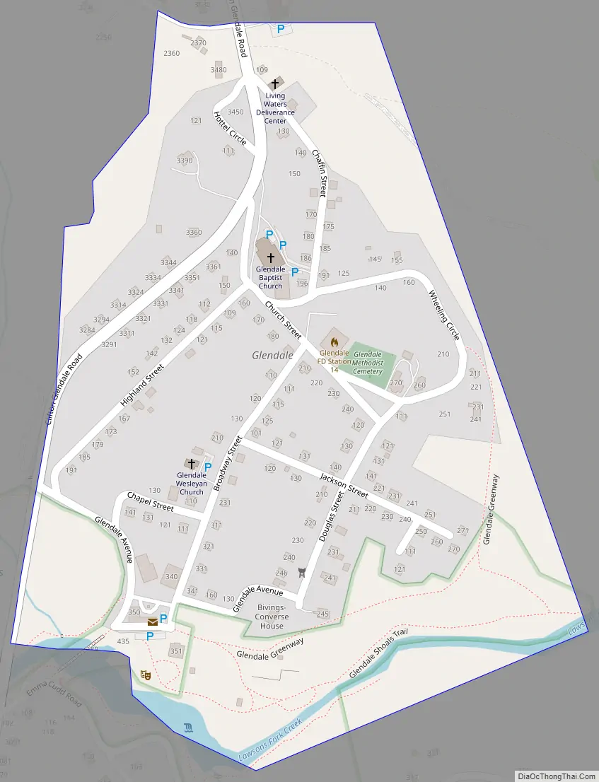
Online Interactive Map
Click on ![]() to view map in "full screen" mode.
to view map in "full screen" mode.
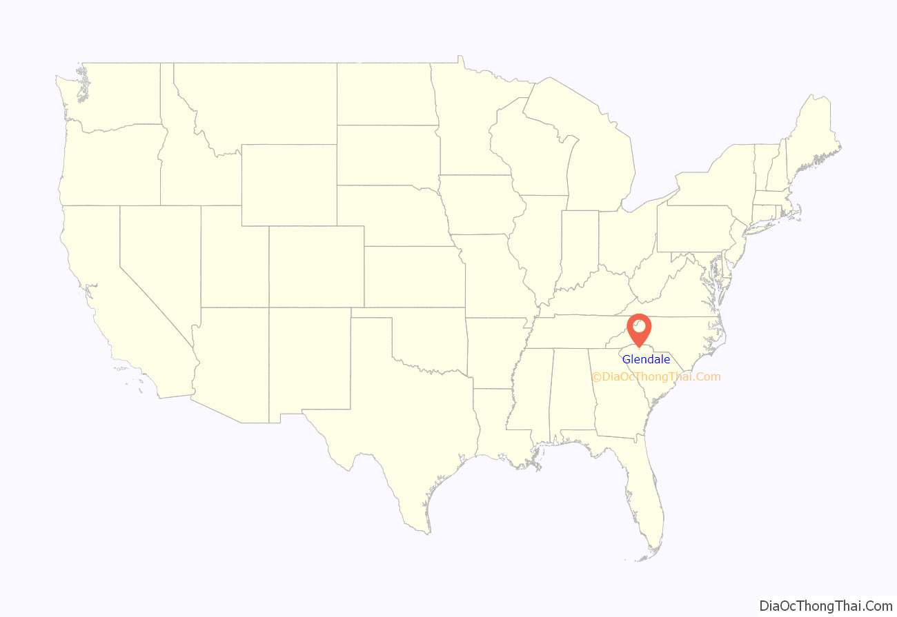
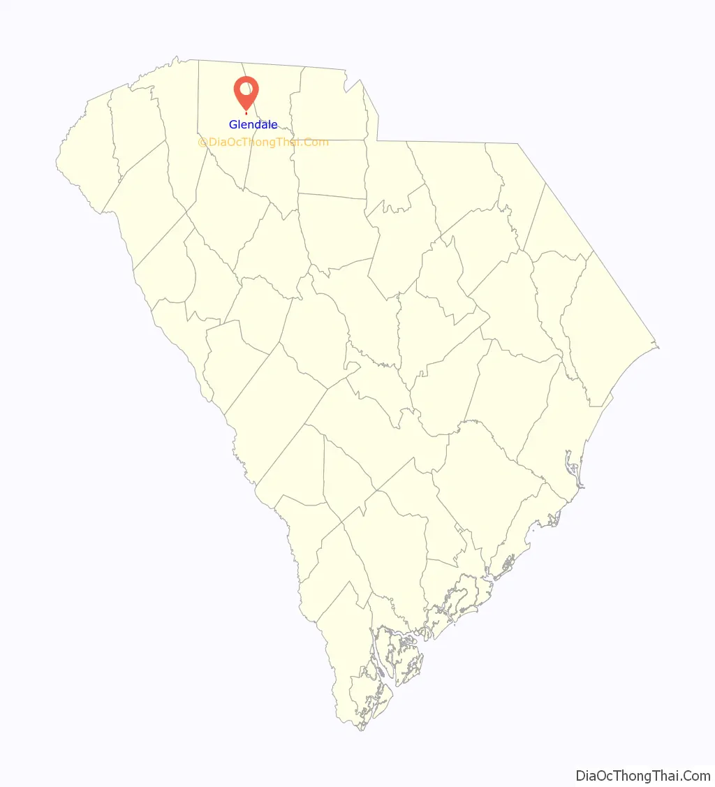
Glendale location map. Where is Glendale CDP?
History
A post office called Glendale has been in operation since 1878. The community’s chief industry was a cotton mill.
The Bivings-Converse House was listed on the National Register of Historic Places in 1995.
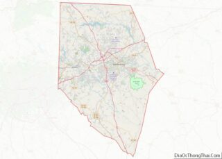
Glendale Road Map
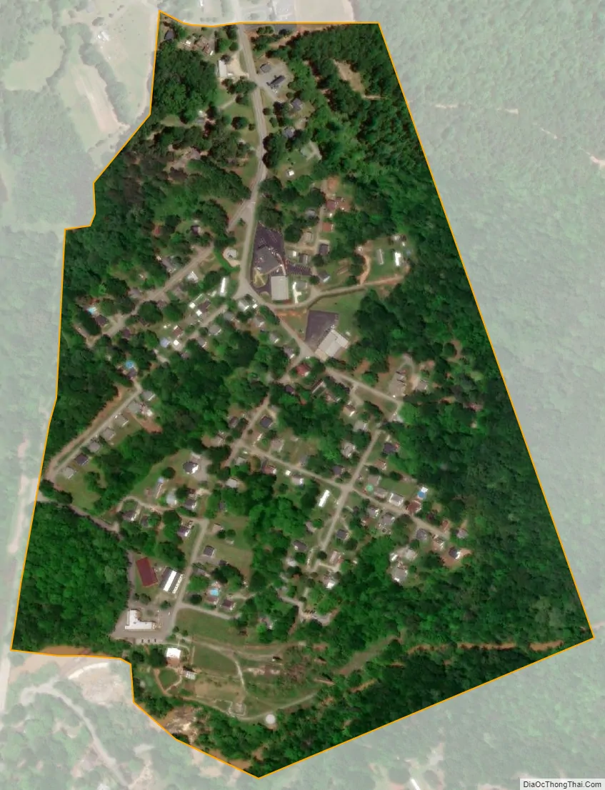
Glendale city Satellite Map
Geography
Glendale is located at 34°56′42″N 81°50′11″W / 34.94500°N 81.83639°W / 34.94500; -81.83639 (34.945078, -81.836373). These coordinates place the CDP to the east of the City of Spartanburg.
According to the United States Census Bureau, the CDP has a total area of 0.212 square miles (0.549 km), all land.
See also
Map of South Carolina State and its subdivision:- Abbeville
- Aiken
- Allendale
- Anderson
- Bamberg
- Barnwell
- Beaufort
- Berkeley
- Calhoun
- Charleston
- Cherokee
- Chester
- Chesterfield
- Clarendon
- Colleton
- Darlington
- Dillon
- Dorchester
- Edgefield
- Fairfield
- Florence
- Georgetown
- Greenville
- Greenwood
- Hampton
- Horry
- Jasper
- Kershaw
- Lancaster
- Laurens
- Lee
- Lexington
- Marion
- Marlboro
- McCormick
- Newberry
- Oconee
- Orangeburg
- Pickens
- Richland
- Saluda
- Spartanburg
- Sumter
- Union
- Williamsburg
- York
- Alabama
- Alaska
- Arizona
- Arkansas
- California
- Colorado
- Connecticut
- Delaware
- District of Columbia
- Florida
- Georgia
- Hawaii
- Idaho
- Illinois
- Indiana
- Iowa
- Kansas
- Kentucky
- Louisiana
- Maine
- Maryland
- Massachusetts
- Michigan
- Minnesota
- Mississippi
- Missouri
- Montana
- Nebraska
- Nevada
- New Hampshire
- New Jersey
- New Mexico
- New York
- North Carolina
- North Dakota
- Ohio
- Oklahoma
- Oregon
- Pennsylvania
- Rhode Island
- South Carolina
- South Dakota
- Tennessee
- Texas
- Utah
- Vermont
- Virginia
- Washington
- West Virginia
- Wisconsin
- Wyoming