Hemingway is a town in Williamsburg County, South Carolina, United States. The population was 459 at the 2010 census.
| Name: | Hemingway town |
|---|---|
| LSAD Code: | 43 |
| LSAD Description: | town (suffix) |
| State: | South Carolina |
| County: | Williamsburg County |
| Elevation: | 52 ft (16 m) |
| Total Area: | 0.86 sq mi (2.24 km²) |
| Land Area: | 0.86 sq mi (2.24 km²) |
| Water Area: | 0.00 sq mi (0.00 km²) |
| Total Population: | 504 |
| Population Density: | 583.33/sq mi (225.28/km²) |
| ZIP code: | 29554 |
| Area code: | 843, 854 |
| FIPS code: | 4533145 |
| GNISfeature ID: | 1245951 |
| Website: | www.townofhemingway.org |
Online Interactive Map
Click on ![]() to view map in "full screen" mode.
to view map in "full screen" mode.
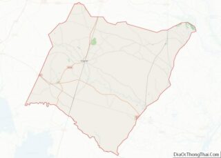
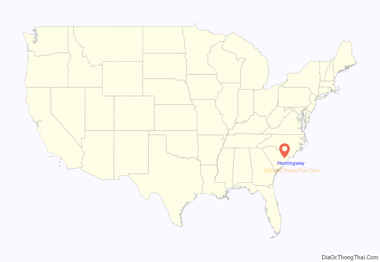
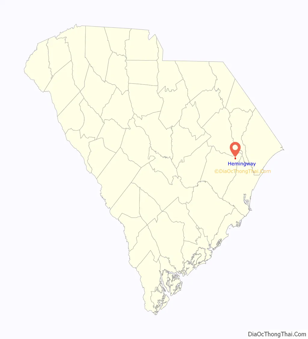
Hemingway location map. Where is Hemingway town?
History
Hemingway was created from a crossroads community named Lamberts in 1911 by Dr. W. C. Hemingway, in an effort to secure a depot for the proposed Seaboard Coast Line Railroad, which was to run from Mullins to Andrews. Land owned by Dr. Hemingway was surveyed and the lots auctioned off. Subsequently, the railroad established a Hemingway depot, and the post office name was changed to Hemingway.
With rail access, Hemingway grew into a market town for local agricultural products. Cotton declined after 1921, when the boll weevil arrived, but was already being replaced by flue-cured tobacco as the primary money crop for farmers. Other local products were naval stores from the pine forests (later replaced by timbering), corn, soybeans, wheat, and vegetables.
Hemingway is near the Pee Dee River, which was the main commercial route for the area until the coming of the railroad. Snows Lake is near Hemingway. This is also a site in the Revolutionary War camp of US war hero General Francis Marion. The river was named by early explorers after the Pee Dee tribe. A major tributary is the Waccamaw River, likewise named.
Pleasant Hill Consolidated School was listed on the National Register of Historic Places in 1998.
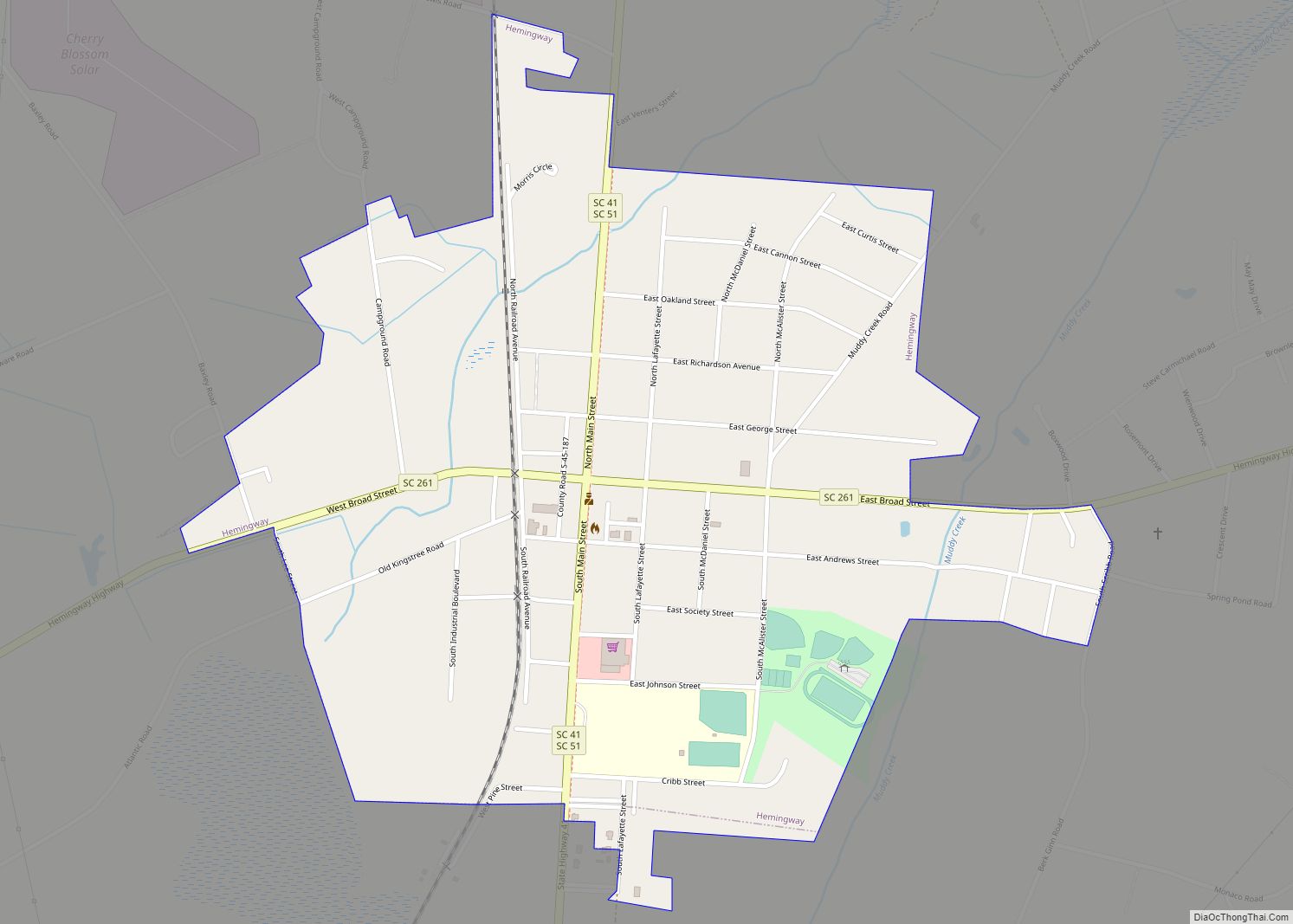
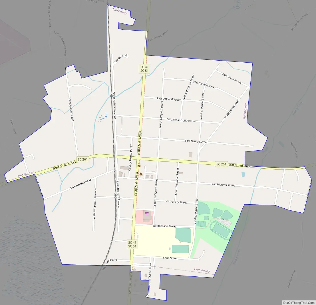
Hemingway Road Map
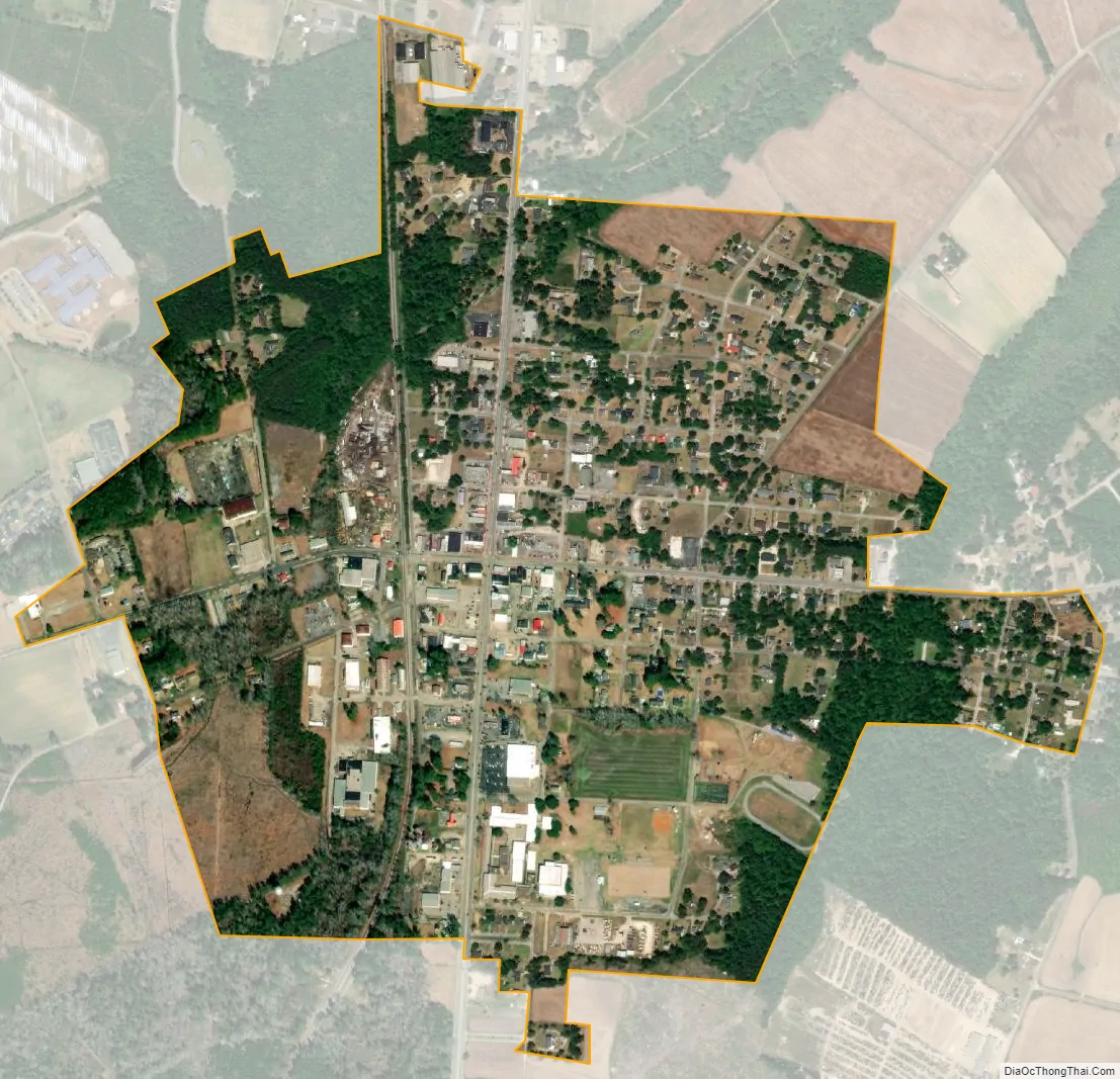
Hemingway city Satellite Map
Geography
According to the United States Census Bureau, the town has a total area of 0.9 square miles (2.3 km), all of it land.
See also
Map of South Carolina State and its subdivision:- Abbeville
- Aiken
- Allendale
- Anderson
- Bamberg
- Barnwell
- Beaufort
- Berkeley
- Calhoun
- Charleston
- Cherokee
- Chester
- Chesterfield
- Clarendon
- Colleton
- Darlington
- Dillon
- Dorchester
- Edgefield
- Fairfield
- Florence
- Georgetown
- Greenville
- Greenwood
- Hampton
- Horry
- Jasper
- Kershaw
- Lancaster
- Laurens
- Lee
- Lexington
- Marion
- Marlboro
- McCormick
- Newberry
- Oconee
- Orangeburg
- Pickens
- Richland
- Saluda
- Spartanburg
- Sumter
- Union
- Williamsburg
- York
- Alabama
- Alaska
- Arizona
- Arkansas
- California
- Colorado
- Connecticut
- Delaware
- District of Columbia
- Florida
- Georgia
- Hawaii
- Idaho
- Illinois
- Indiana
- Iowa
- Kansas
- Kentucky
- Louisiana
- Maine
- Maryland
- Massachusetts
- Michigan
- Minnesota
- Mississippi
- Missouri
- Montana
- Nebraska
- Nevada
- New Hampshire
- New Jersey
- New Mexico
- New York
- North Carolina
- North Dakota
- Ohio
- Oklahoma
- Oregon
- Pennsylvania
- Rhode Island
- South Carolina
- South Dakota
- Tennessee
- Texas
- Utah
- Vermont
- Virginia
- Washington
- West Virginia
- Wisconsin
- Wyoming