Waxhaw is a town in Union County, North Carolina, United States. The population was 20,534 according to the 2020 Census. The population grew 108.28% from 2010. The name is derived from the indigenous people who lived in the area, who were known as the Waxhaw people.
| Name: | Waxhaw town |
|---|---|
| LSAD Code: | 43 |
| LSAD Description: | town (suffix) |
| State: | North Carolina |
| County: | Union County |
| Incorporated: | 1889 |
| Elevation: | 686 ft (209 m) |
| Total Area: | 12.22 sq mi (31.65 km²) |
| Land Area: | 12.13 sq mi (31.42 km²) |
| Water Area: | 0.09 sq mi (0.23 km²) |
| Total Population: | 20,534 |
| Population Density: | 1,692.69/sq mi (653.58/km²) |
| ZIP code: | 28173 |
| Area code: | 704 |
| FIPS code: | 3771460 |
| GNISfeature ID: | 0996880 |
| Website: | waxhaw.com |
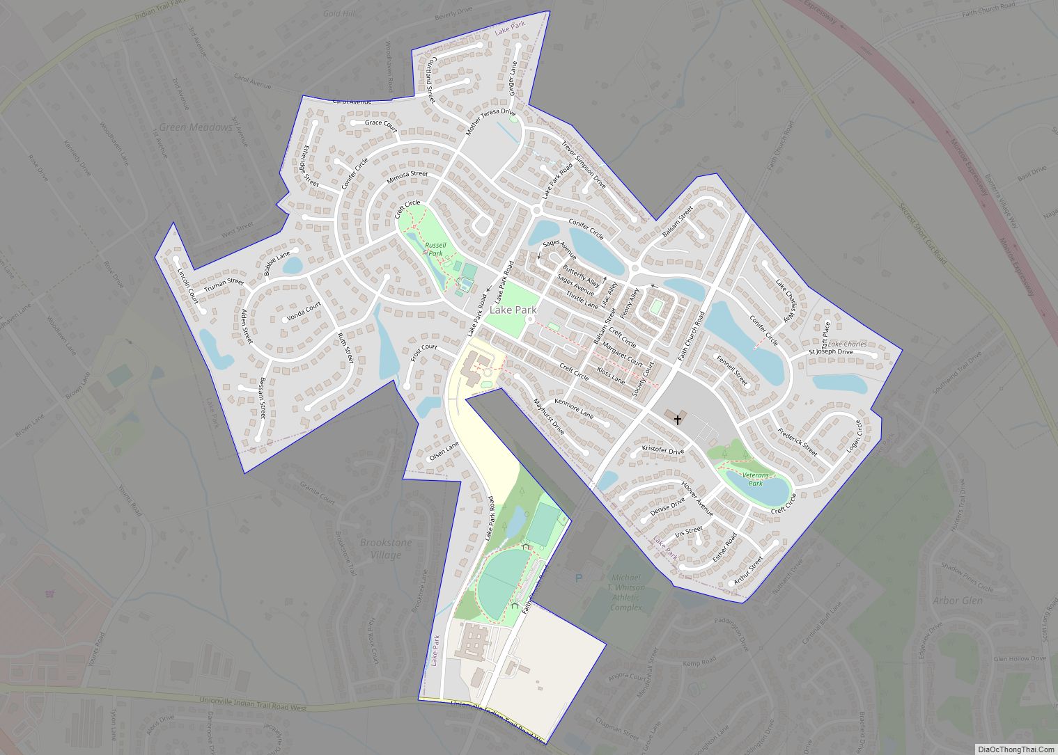
Online Interactive Map
Click on ![]() to view map in "full screen" mode.
to view map in "full screen" mode.
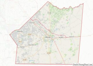
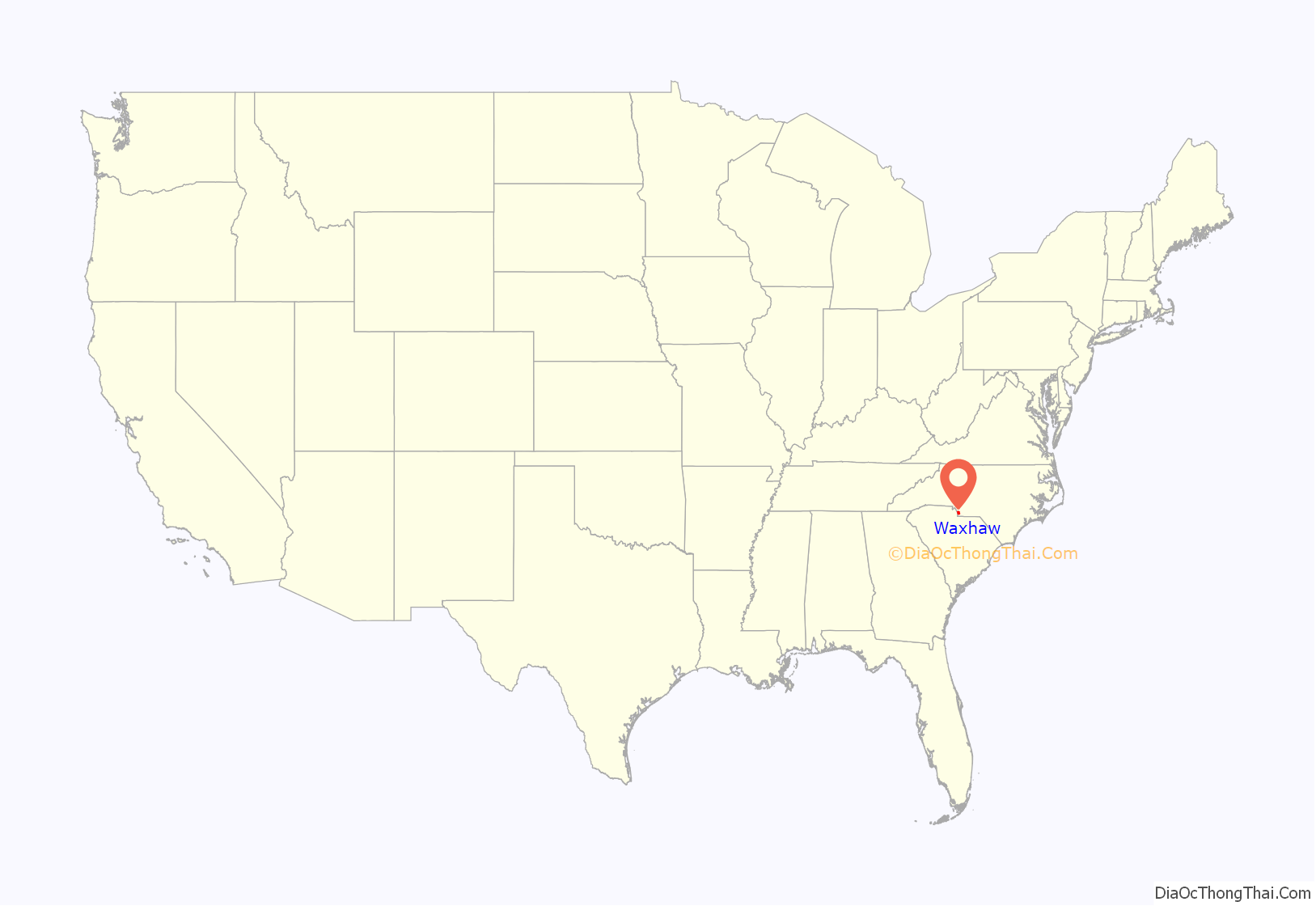
Waxhaw location map. Where is Waxhaw town?

History
The original inhabitants of the region were a Native American people group known alternately as either the Wysacky or the Waxhaws. The first European to record contacting the group was the Spanish conquistador Juan Pardo. In 1711, the Waxhaw aided the British colonists of North Carolina in their war against the Tuscarora, a decision that antagonized the Tuscaroras Iroquoian allies in New York, who subsequently began raiding the Waxhaw tribe. These raids continued until 1715, when the Waxhaw joined the Yamasee war effort against the British colony of South Carolina. The tribes involvement in the Yamasee War led to their destruction at the hands of South Carolina’s Catawba allies and the freeing of their land for European settlement.
The area was first settled by colonists in the mid-eighteenth century. Most settlers were of German and Scots-Irish origin. Settlers became subsistence farmers and were known for being independent. Andrew Jackson, who later would become the seventh President of the United States, was born nearby in 1767, prior to the American Revolution. There is some disagreement as to which of the Carolinas was his birthplace because of the proximity of the border between the two. However, there are historical marker signs around Waxhaw, North Carolina describing Andrew Jackson’s early connection to the area. His relationship to the area also is documented at the Museum of the Waxhaws. Andrew Jackson State Park is minutes from downtown Waxhaw, which has a memorial and other information about Andrew Jackson
The arrival of the railroad in 1888 created access to the markets of Atlanta and helped the town reach prosperity. The railroad tracks were laid through the center of town to show the importance of the railroad system to the community. The railroad remains in the center of town and now, is bordered by a broad landscaped area that divides the rows of stores on either side.
Beginning in the late nineteenth century, the community began to develop cotton mill factories for manufacturing textiles. The railroad helped increase access for the products of this industry. Cotton manufacturing was important to the region through the 1940s. Postwar changes in the economy, with shifts of the textile industry to jobs in other areas of the country and out of the country, required the community to adapt to new conditions.
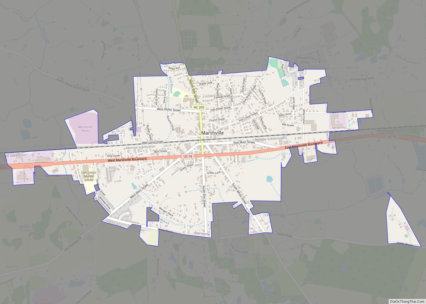
Waxhaw Road Map
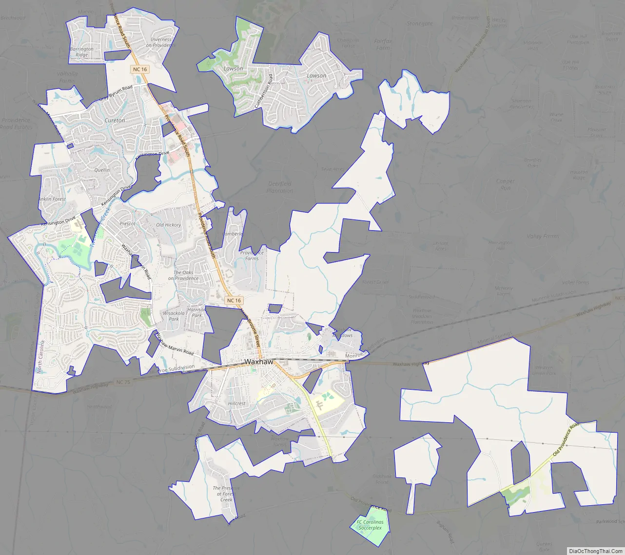
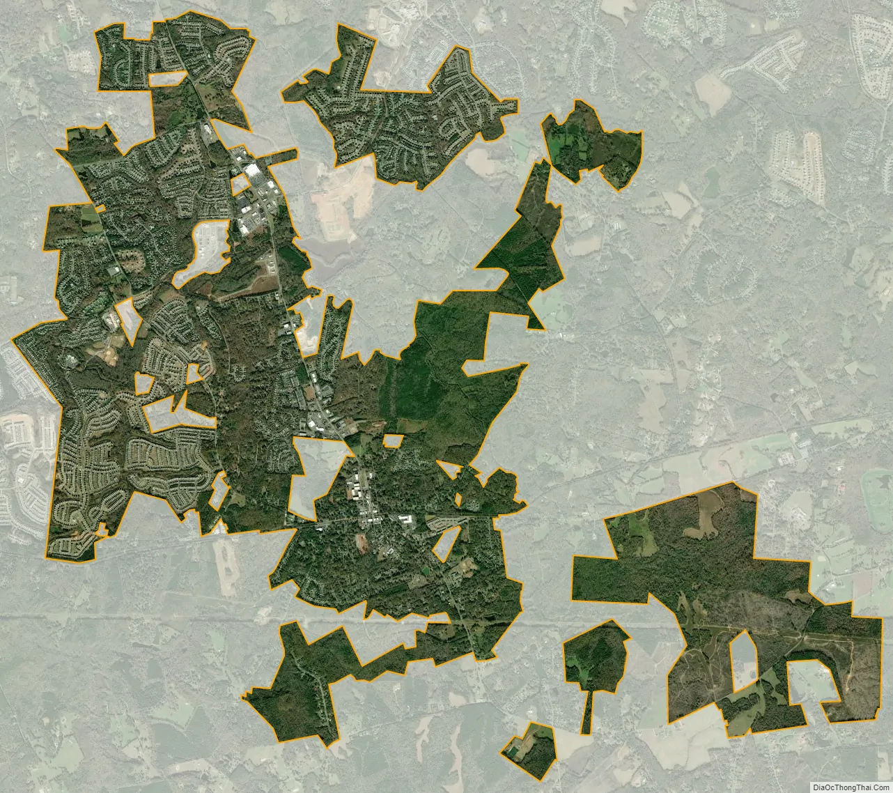
Waxhaw city Satellite Map
Geography
Waxhaw is located at 34°55′42″N 80°44′41″W / 34.92833°N 80.74472°W / 34.92833; -80.74472 (34.928201, -80.744835).
According to the United States Census Bureau, the town has a total area of 11.54 square miles (29.9 km). Waxhaw’s northernmost municipal boundary is located four and one-half miles south of the Charlotte southernmost city limit. Waxhaw is part of Union County.
Waxhaw is located in the historic region called The Waxhaws and both the region and the town are named after the indigenous Native American tribe who lived there prior to colonial settlement. Europeans sometimes referred to their settlements in the area as, The Waxhaw Settlement.
The town of Waxhaw is in the Piedmont region of North Carolina, which is a wooded area with rolling hills. This region is where gold was first discovered in the United States. The Howie Gold Mine is not far from the city limits. By 1935, 50,000 ounces of gold had been mined from this location. The Howie Gold mine operated until World War II, when most mines were shut down due to workforce changes during the war effort.
See also
Map of North Carolina State and its subdivision:- Alamance
- Alexander
- Alleghany
- Anson
- Ashe
- Avery
- Beaufort
- Bertie
- Bladen
- Brunswick
- Buncombe
- Burke
- Cabarrus
- Caldwell
- Camden
- Carteret
- Caswell
- Catawba
- Chatham
- Cherokee
- Chowan
- Clay
- Cleveland
- Columbus
- Craven
- Cumberland
- Currituck
- Dare
- Davidson
- Davie
- Duplin
- Durham
- Edgecombe
- Forsyth
- Franklin
- Gaston
- Gates
- Graham
- Granville
- Greene
- Guilford
- Halifax
- Harnett
- Haywood
- Henderson
- Hertford
- Hoke
- Hyde
- Iredell
- Jackson
- Johnston
- Jones
- Lee
- Lenoir
- Lincoln
- Macon
- Madison
- Martin
- McDowell
- Mecklenburg
- Mitchell
- Montgomery
- Moore
- Nash
- New Hanover
- Northampton
- Onslow
- Orange
- Pamlico
- Pasquotank
- Pender
- Perquimans
- Person
- Pitt
- Polk
- Randolph
- Richmond
- Robeson
- Rockingham
- Rowan
- Rutherford
- Sampson
- Scotland
- Stanly
- Stokes
- Surry
- Swain
- Transylvania
- Tyrrell
- Union
- Vance
- Wake
- Warren
- Washington
- Watauga
- Wayne
- Wilkes
- Wilson
- Yadkin
- Yancey
- Alabama
- Alaska
- Arizona
- Arkansas
- California
- Colorado
- Connecticut
- Delaware
- District of Columbia
- Florida
- Georgia
- Hawaii
- Idaho
- Illinois
- Indiana
- Iowa
- Kansas
- Kentucky
- Louisiana
- Maine
- Maryland
- Massachusetts
- Michigan
- Minnesota
- Mississippi
- Missouri
- Montana
- Nebraska
- Nevada
- New Hampshire
- New Jersey
- New Mexico
- New York
- North Carolina
- North Dakota
- Ohio
- Oklahoma
- Oregon
- Pennsylvania
- Rhode Island
- South Carolina
- South Dakota
- Tennessee
- Texas
- Utah
- Vermont
- Virginia
- Washington
- West Virginia
- Wisconsin
- Wyoming